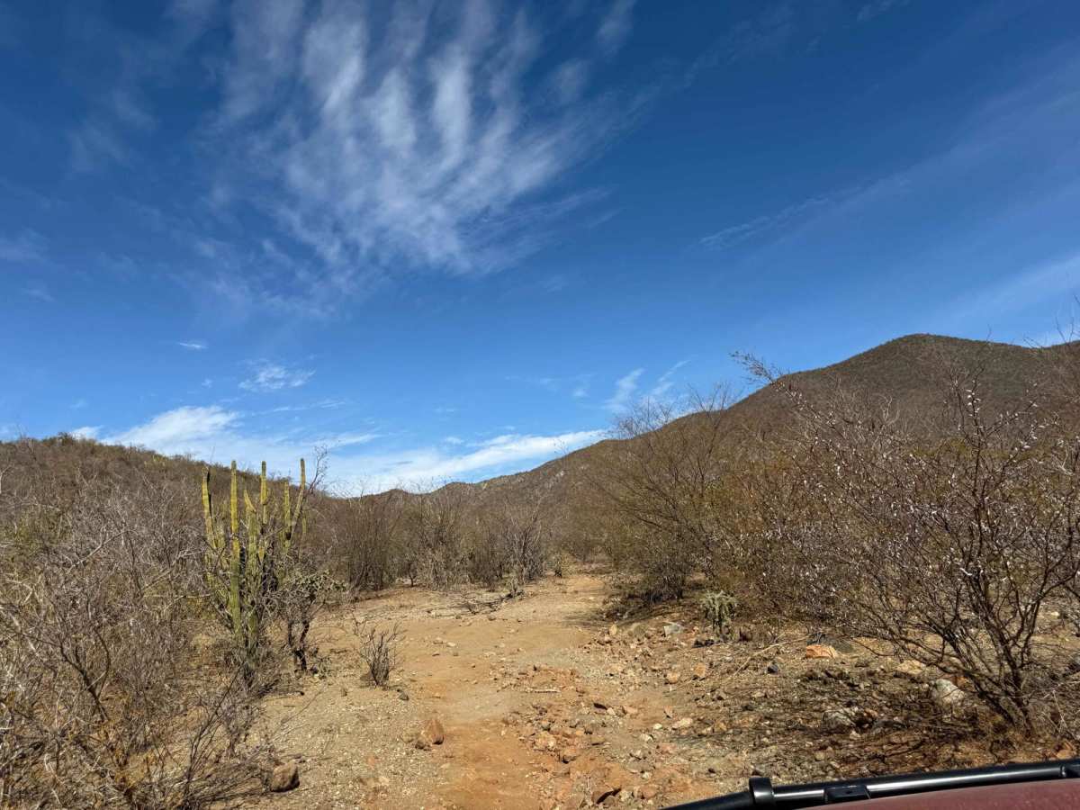
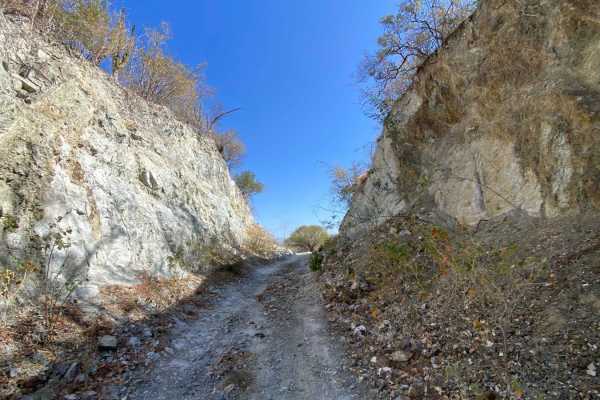
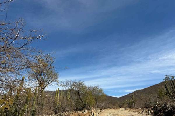
Trail Overview
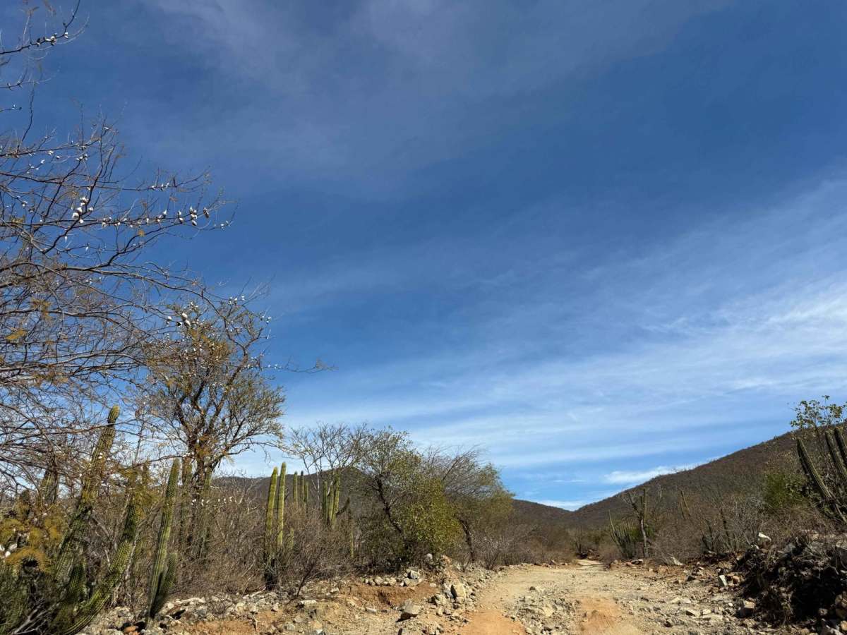
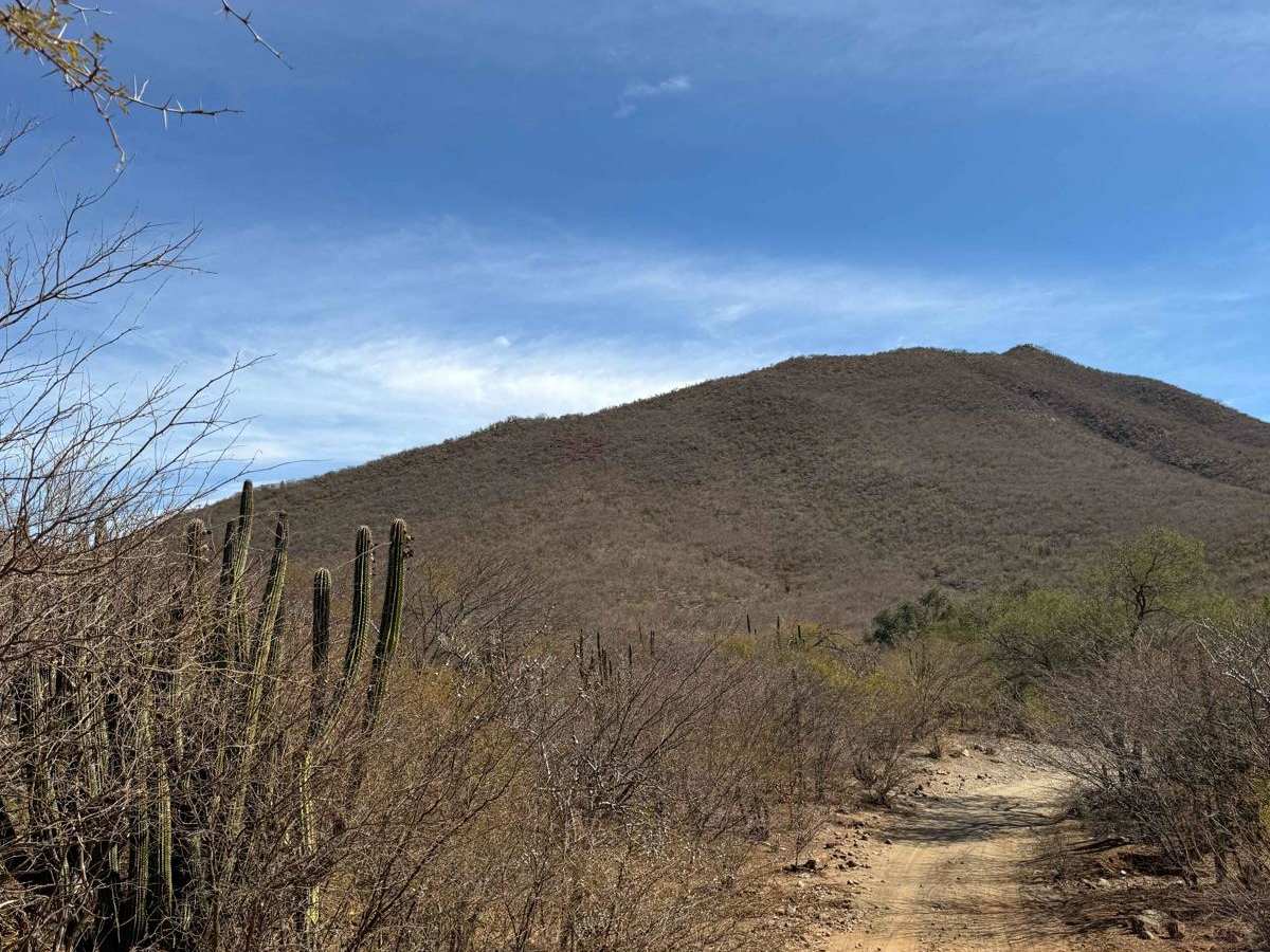
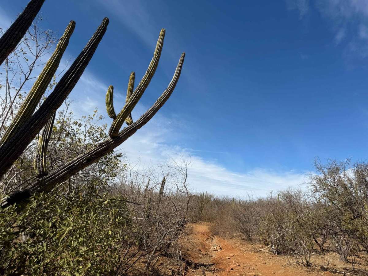
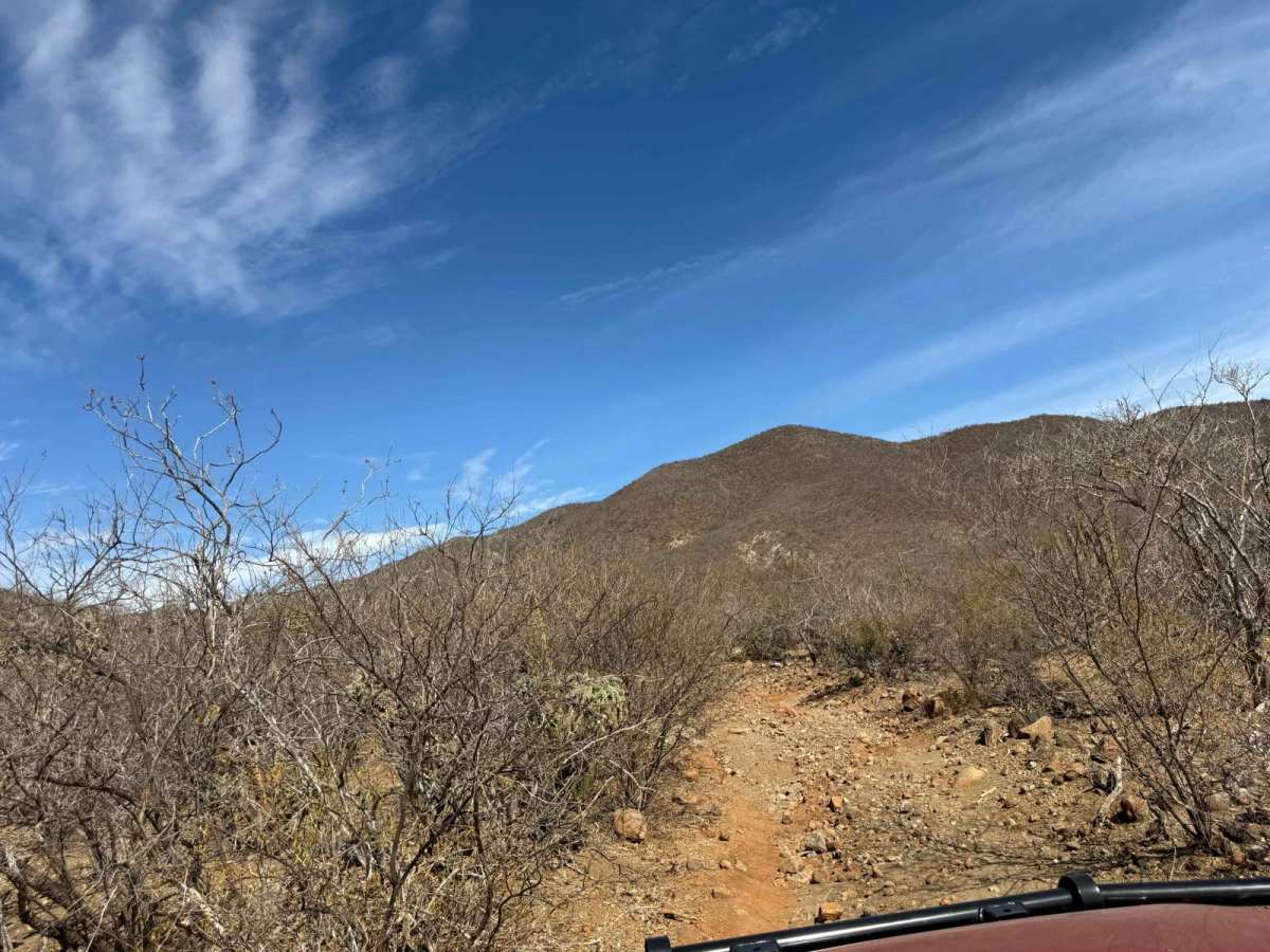
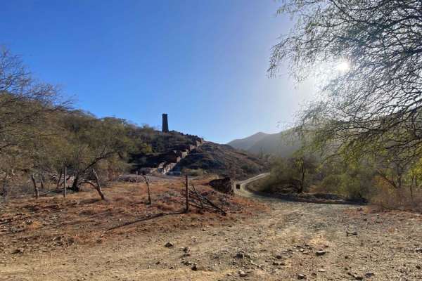
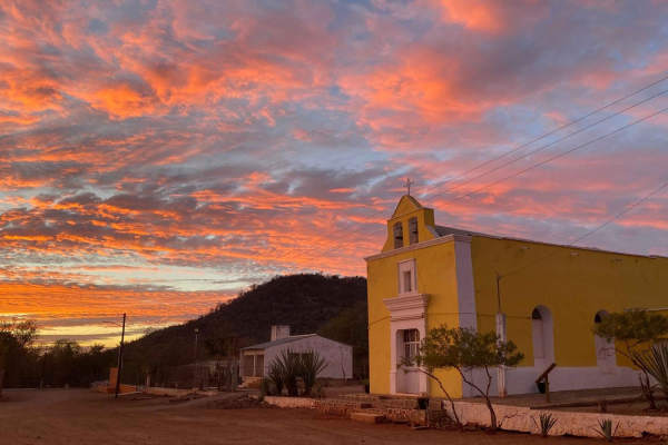
This historic trail is a remarkable route connecting the village of El Rosario to the mission town of El Truinfo. Important note: If you are driving a vehicle larger than a Tacoma, be prepared for significant challenges due to the narrow and tight track. The trail winds through rugged backcountry, offering an off-the-beaten-path alternative to the highway. While not overly technical, this route is a true test of endurance and vehicle handling, featuring a mix of terrain that includes rocky riverbeds, sandy washes, and occasional low-hanging tree branches. As you traverse this historic track, you'll be rewarded with stunning views and a sense of adventure that captures the essence of Baja's untamed beauty. Take your time to navigate the trail's twists and turns and soak in the unique charm of this remote landscape. ***** Carry a large saw as blow down and dead trees on the trail can be plentiful***** The trails connecting El Rosario to El Truinfo trace their origins back to the 18th and 19th centuries when Baja California's rugged terrain was navigated primarily by indigenous peoples, missionaries, and later, miners seeking fortune. These paths were essential lifelines between settlements like El Rosario, a thriving agricultural hub, and El Truinfo, a prominent mission town that evolved into a bustling mining community during the silver and gold rushes. Mules and wagons carried supplies, ore, and people along these routes, forging a vital network through rocky riverbeds, sandy washes, and dense desert landscapes. As mining operations expanded, the trails became integral to trade and communication in the region. Today, they stand as historical reminders of Baja's industrious past, offering adventurers a unique glimpse into the rugged routes that connected these once-flourishing towns.
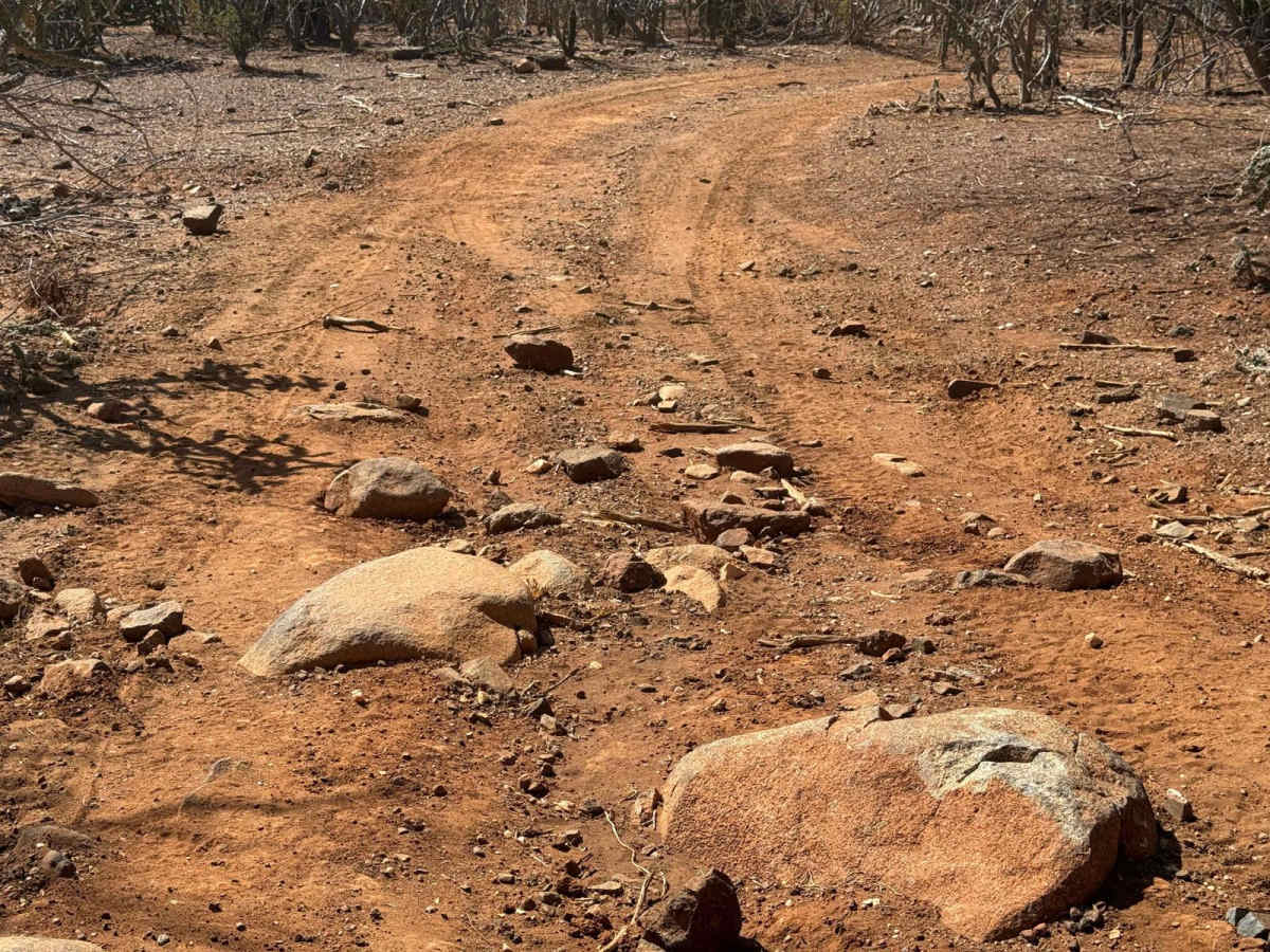
Difficulty
Deep sand is present in some of the washes, requiring careful navigation to avoid getting stuck. Additionally, the trail includes several off-camber drainage crossings that can be extremely hazardous if not approached with caution and respect for their technical challenges.
History
The trails connecting El Rosario to El Truinfo trace their origins back to the 18th and 19th centuries, when Baja California's rugged terrain was navigated primarily by indigenous peoples, missionaries, and later, miners seeking fortune. These paths were essential lifelines between settlements like El Rosario, a thriving agricultural hub, and El Truinfo, a prominent mission town that evolved into a bustling mining community during the silver and gold rushes. Mules and wagons carried supplies, ore, and people along these routes, forging a vital network through rocky riverbeds, sandy washes, and dense desert landscapes. As mining operations expanded, the trails became integral to trade and communication in the region. Today, they stand as historical reminders of Baja's industrious past, offering adventurers a unique glimpse into the rugged routes that connected these once-flourishing towns.