Trail Overview
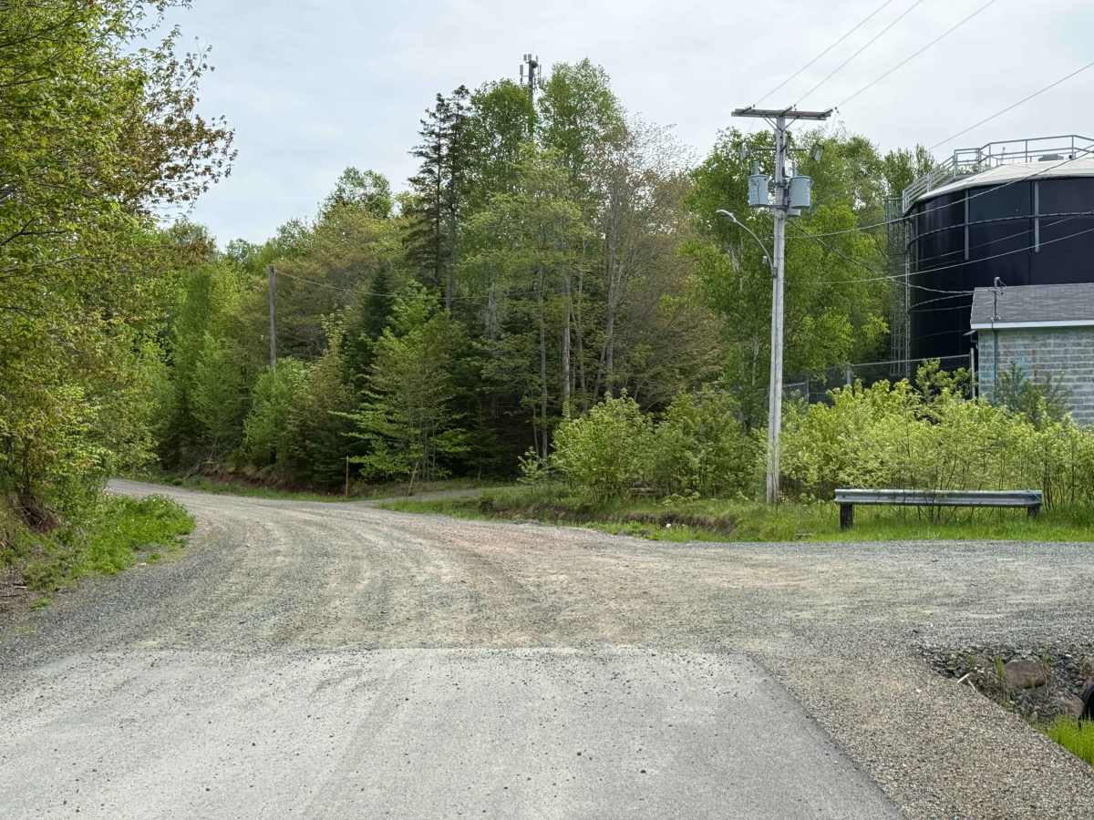
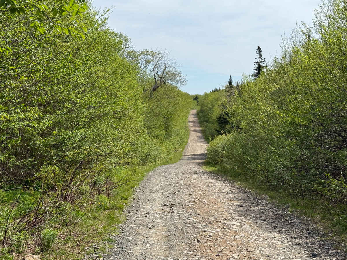
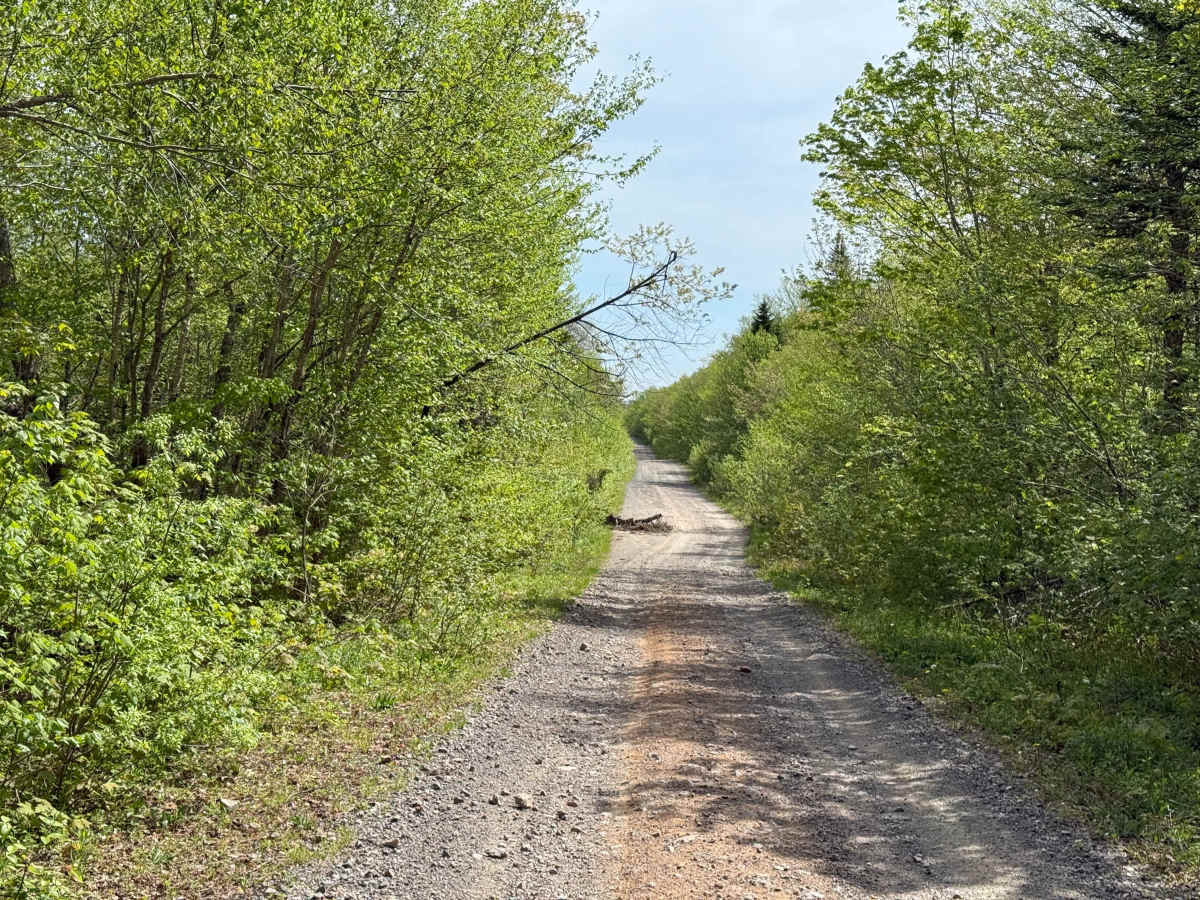
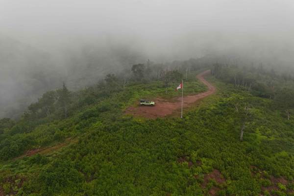
Whycocomagh Mountain Road Trail serves as a main entrance into the trail network and is made up of two sections: Whycocomagh Mountain Road and Geldart Road. Starting at Highway 105 across from the Whycocomagh Waterfront Centre, the first 700 metres are paved through a residential area. The trail officially begins at the water tower, where it transitions into a hard-packed dirt and gravel road originally built for logging. This section is also part of the Trans Canada Trail.
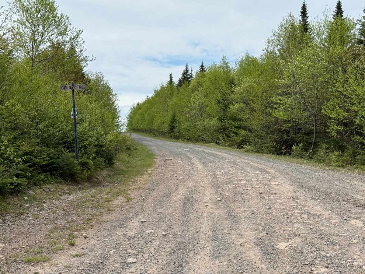
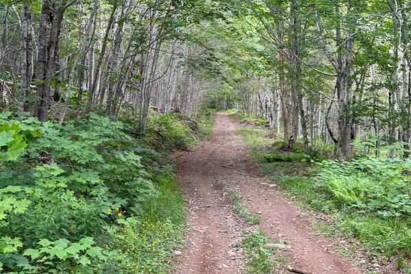
About 5 km from the southern trailhead, the route makes a sharp 90-degree right turn onto Geldart Road. The original Whycocomagh Mountain Road continues straight but quickly becomes impassable due to heavy overgrowth less than 500 metres in. On the far side at Ainslie Glen, the road is also overgrown less than 1 km in, leaving the active route as Whycocomagh Mountain Road to Geldart Road, finishing at the intersection of Lewis Mountain Road and Trout Brook Road.
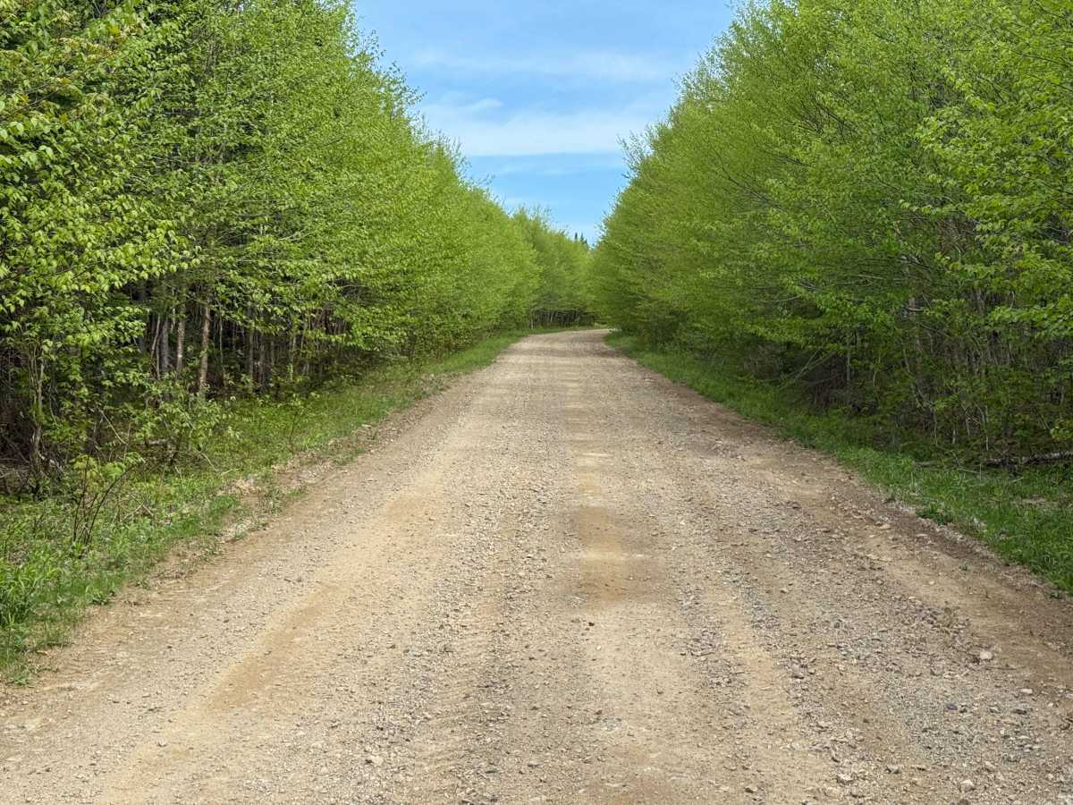
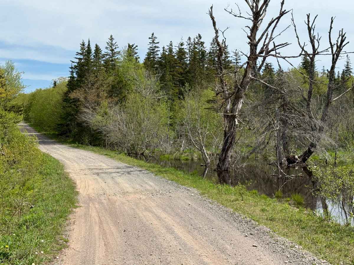
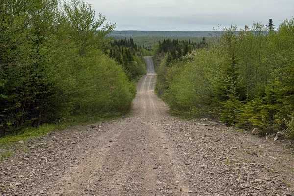
The entire trail is smooth and wide with gentle grades, making it suitable for almost any vehicle. The only challenges are occasional potholes, loose gravel, and dusty conditions in dry weather.
Difficulty
This trail is easy to drive with no technical obstacles or narrow sections. The only factors that may affect travel are potholes, loose gravel, and dust, which can slightly reduce comfort and traction.
History
This road network was originally constructed under the Oxford Paper Company lease for logging operations. Historical evidence suggests it was once known as “Paper Company Road” before being divided into separate routes: Whycocomagh Mountain Road, Geldart Road, and Trout Brook Road.