Trail Overview
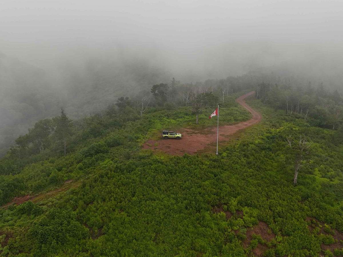
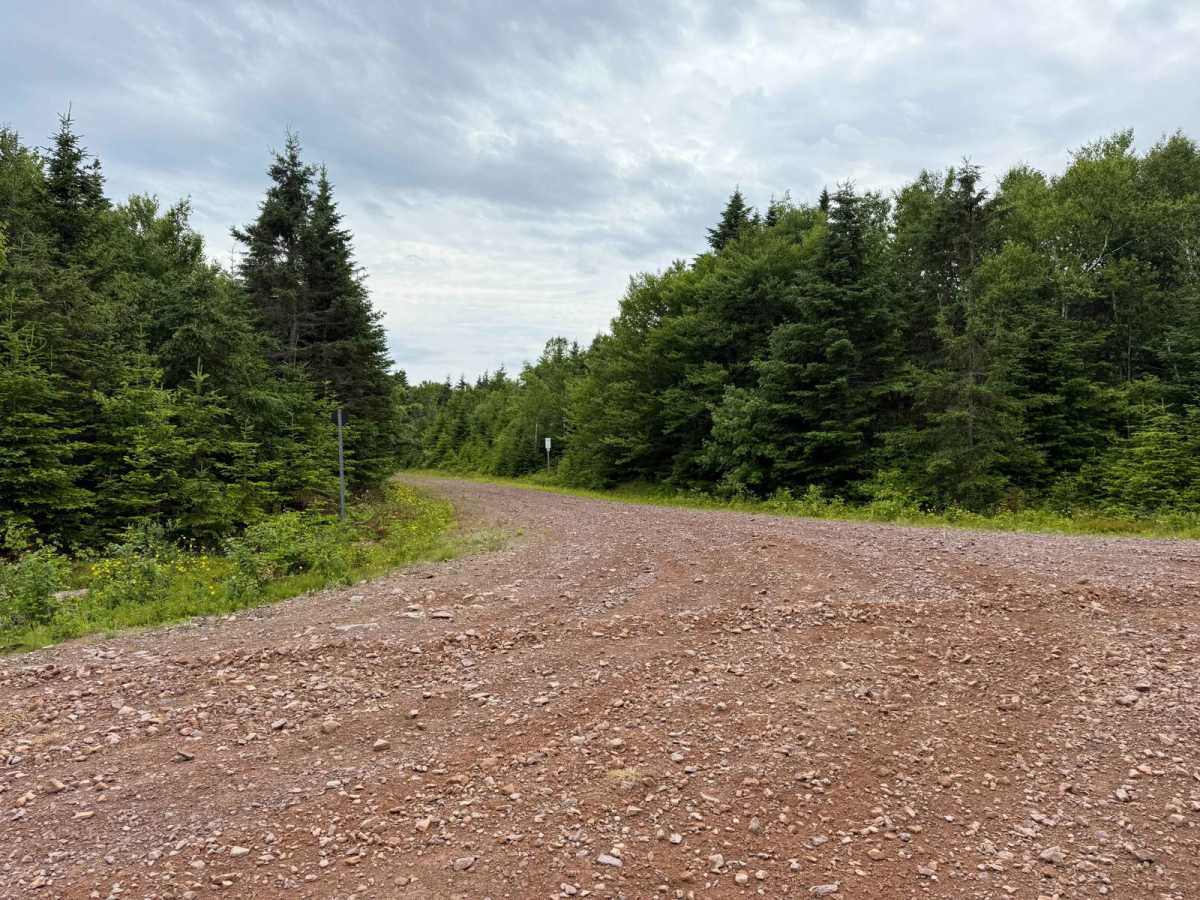
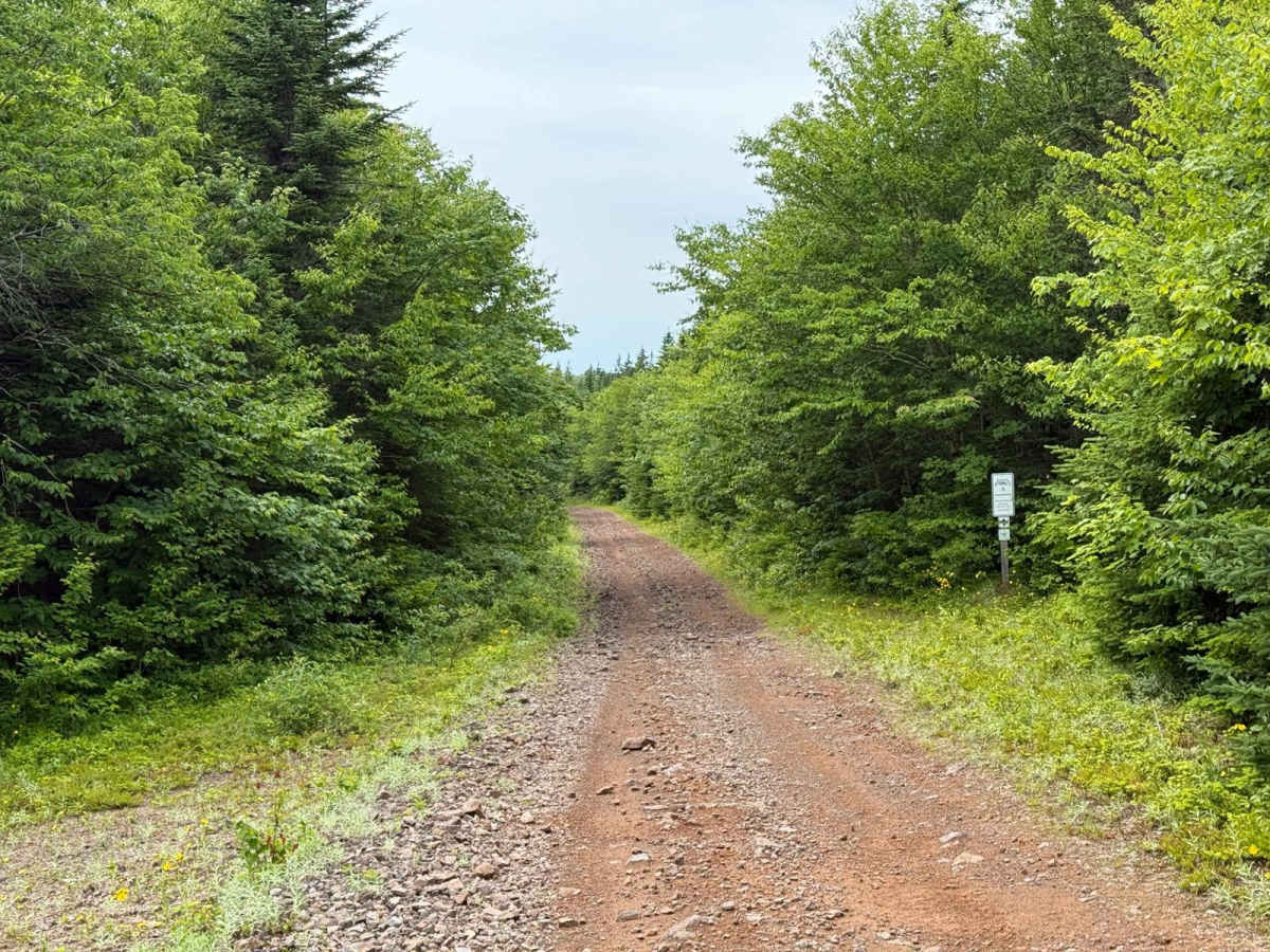
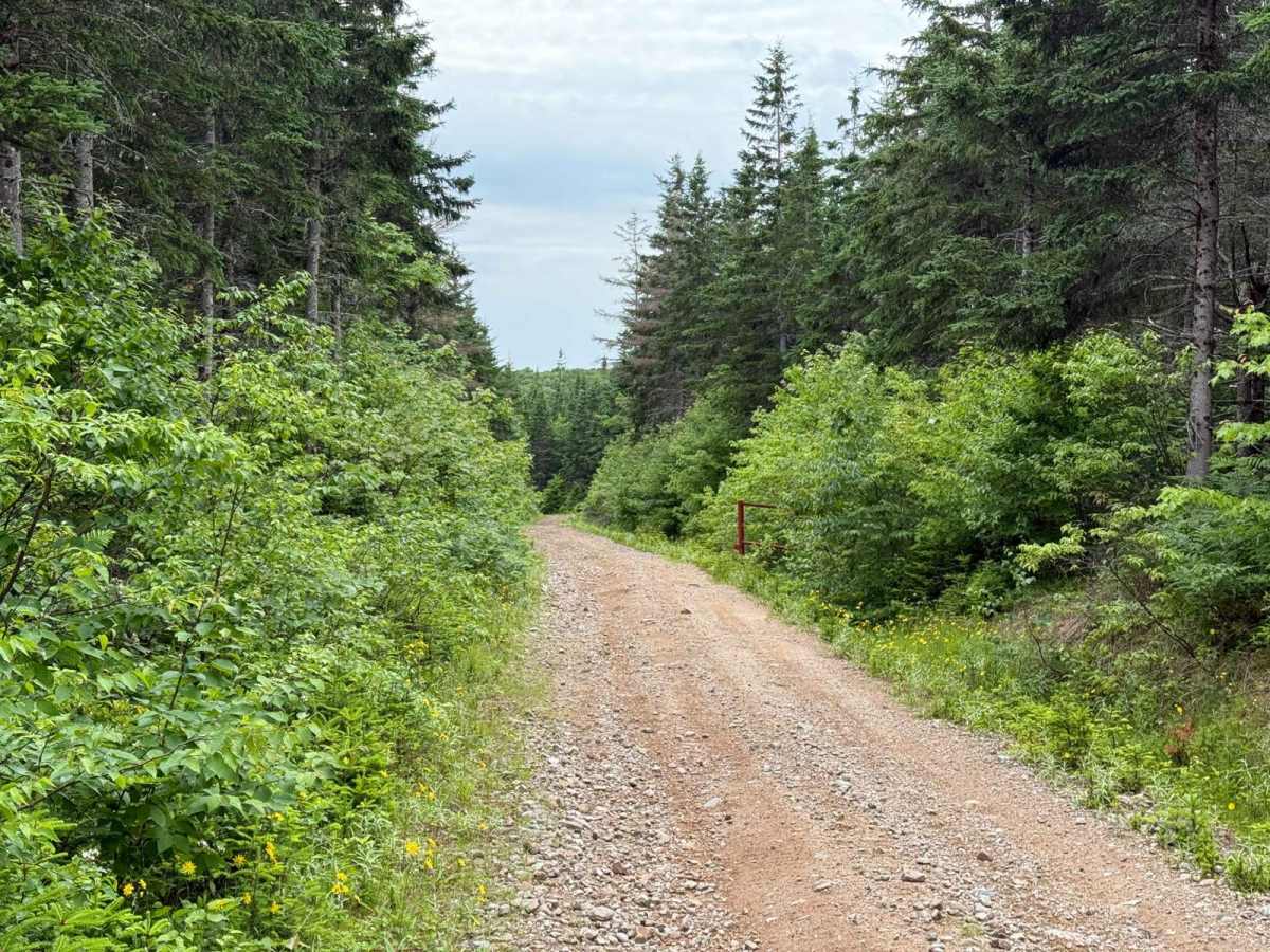
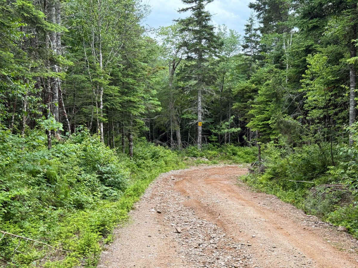
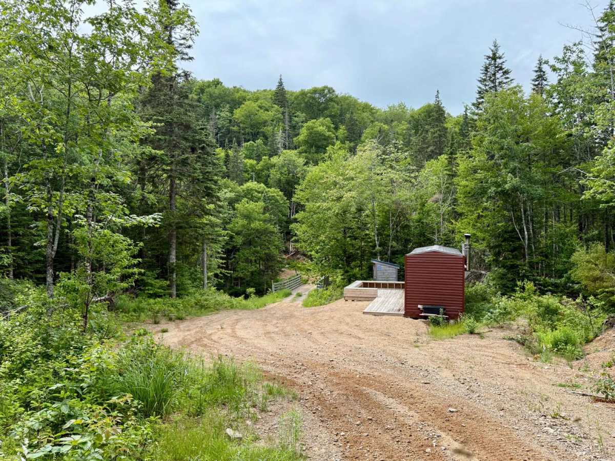
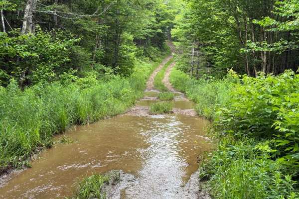
Starting from Trout Brook Road near Gairloch Mountain, this trail begins as a hard-packed single-lane logging road in very good condition. As you begin descending toward Lake Ainslie, the surface shifts to loose rock with some small washouts. At the 3.5 kilometre mark, you'll reach Trout Brook, where there is a warming hut and outhouse just beside the brook. After crossing the bridge, a tight switchback leads to a steep climb up Johnson Mountain. This section was recently repaired after a major washout and is now made up of loose dirt and large rocks. Once you reach the top of Johnson Mountain, the trail flattens out into a smooth two-track that continues to Maggie's Turn at 6.6 kilometres. From here, the trail alternates between minor washouts and smooth sections. After passing a gravel pit and another switchback, stay right at the Y junction to follow a newly cut bypass that reconnects with the former trail alignment and leads down to the western trailhead. This is a scenic and varied route that transitions between active logging infrastructure, historical routes, and scenic ridgelines overlooking Lake Ainslie.
History
This route includes both historic and more modern alignments. The section west of Trout Brook, between Lake Ainslie and the brook itself, follows the original trail over Johnson Mountain. East of the brook, the route was established later as part of logging access into the area. Older maps refer to the watercourse as Trout River, though the name Trout Brook is more commonly used today.

 Offroad