Trail Overview
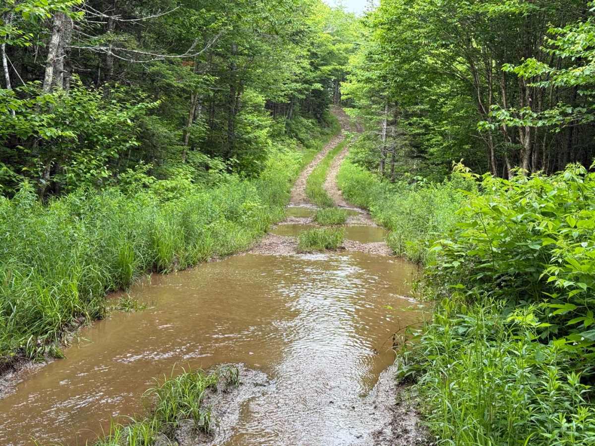
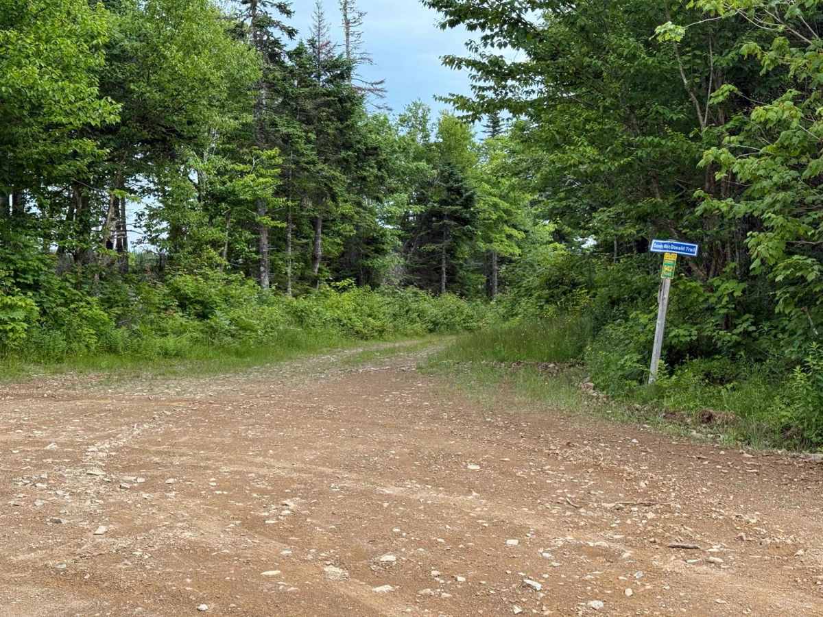
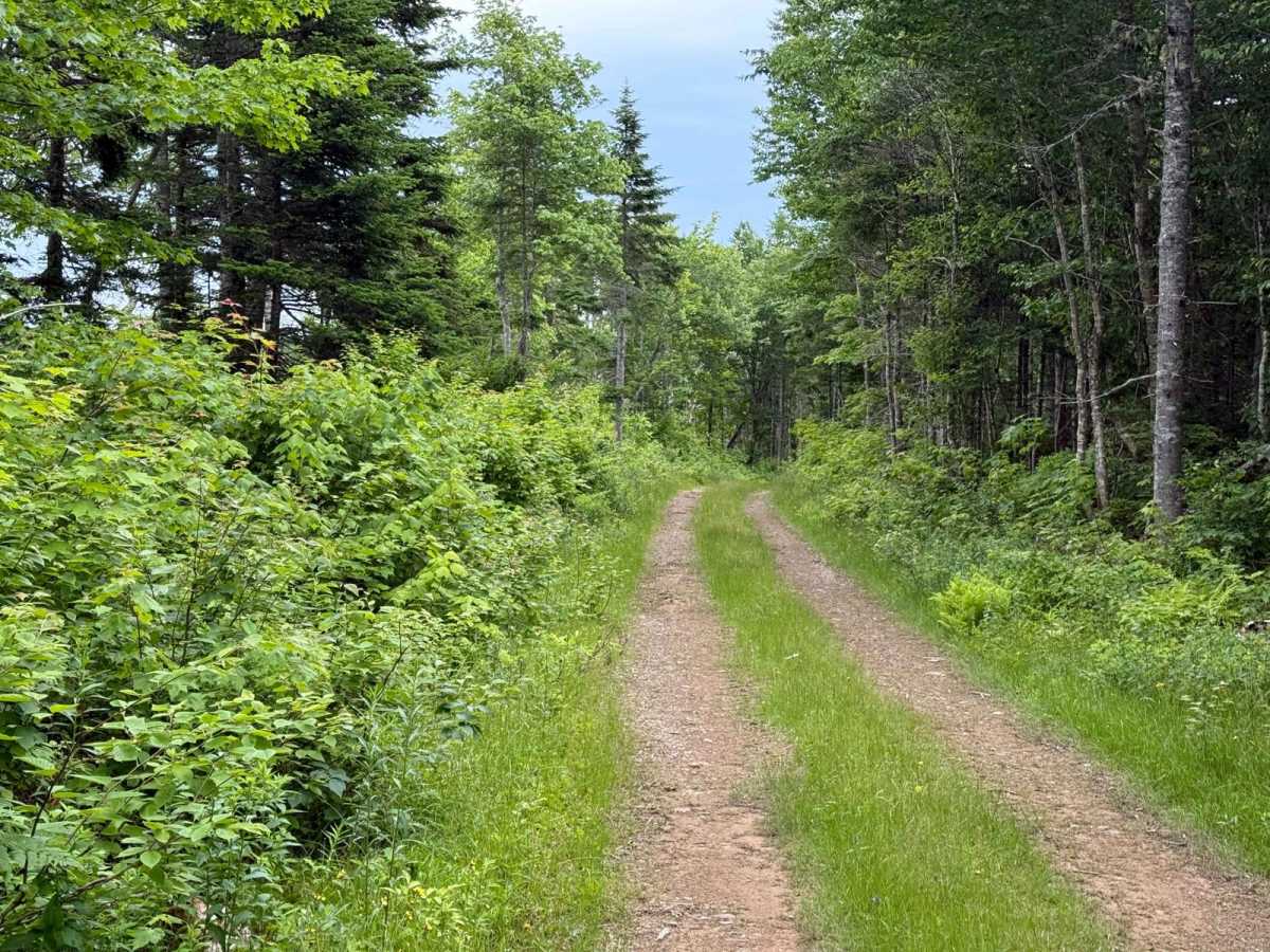
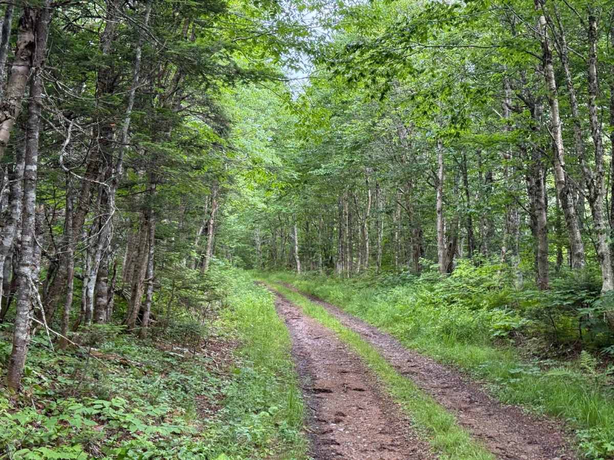
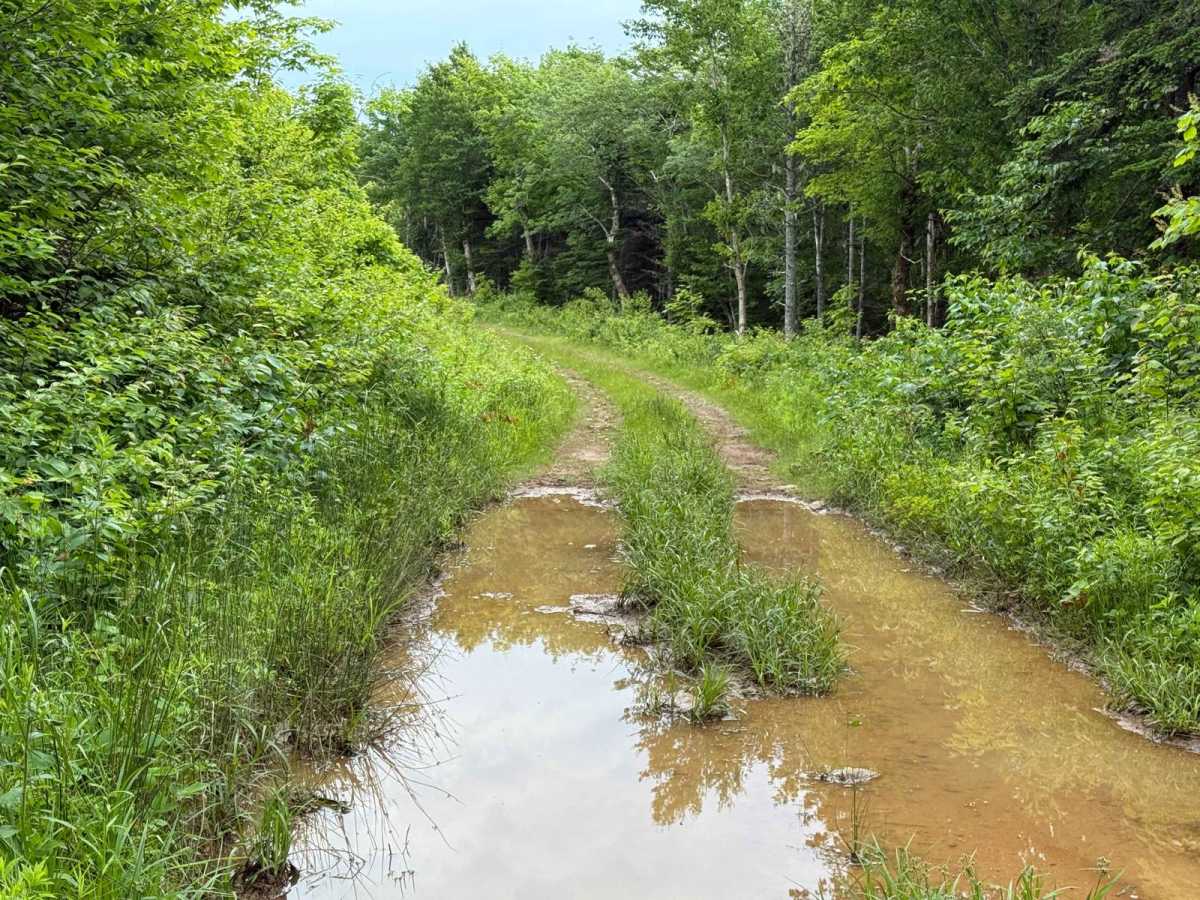
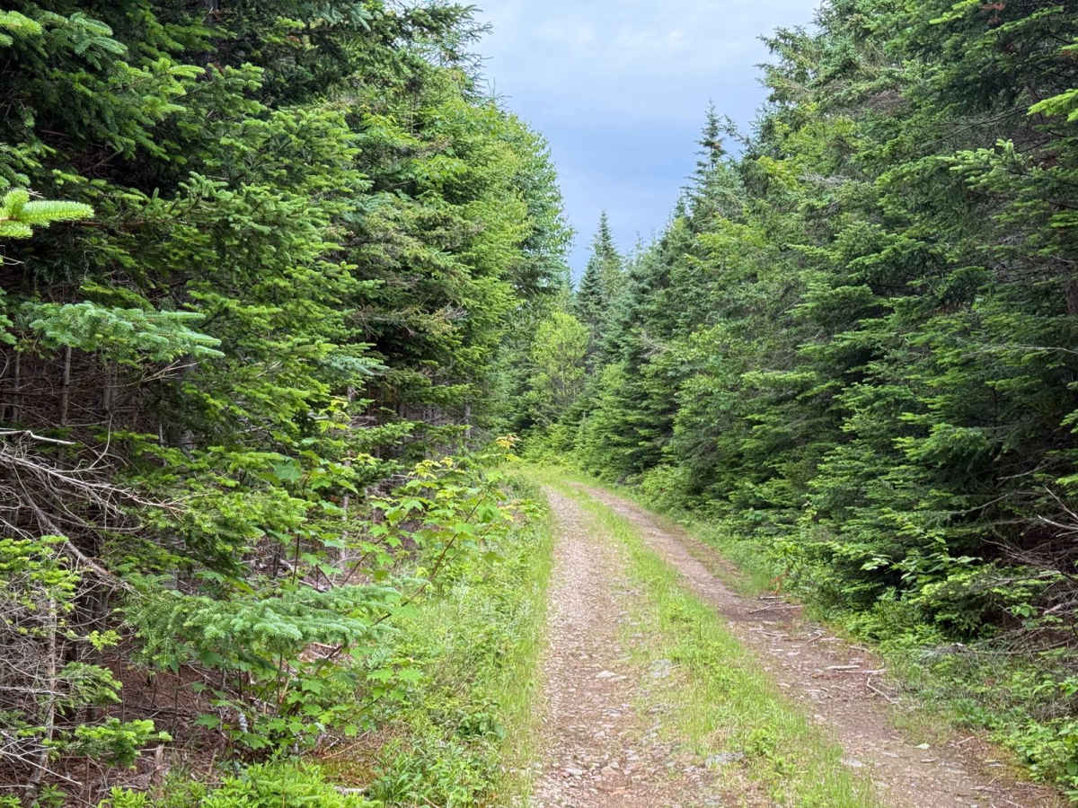
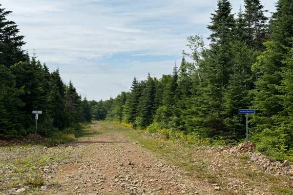
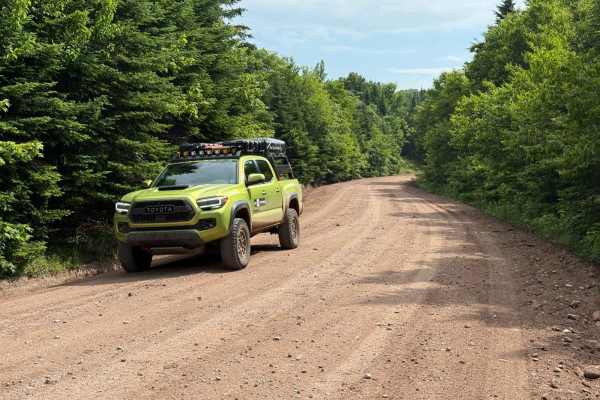
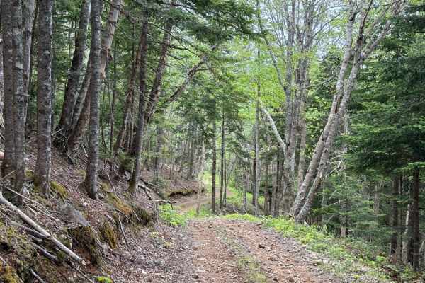
Also known as MacLellan Road and marked as Route 642 by the Inverness Capers Snowmobile Club, the Sandy MacDonald Trail runs north to south through Inverness County. It begins at Mount Borden Road as a hard-packed two-track and is mainly used in winter as a snowmobile route, so it is unmaintained. There are a couple of shallow but wide water crossings and some dense wooded areas where the trail narrows. The final 1.2 kilometres near the southern end open into a rough former logging road with loose rock and small washouts. The mix of terrain makes it a fun option for overlanding in dry conditions or sledding in winter.
Difficulty
Shallow water crossings, narrow wooded sections, loose rock, and small washouts near the southern end.
History
The northern section of this trail follows the original road that connected Mount Borden Road, formerly known as Egypt Road or Egypt Mountain Road, to an area called Glenfinnan. Historical land records show that two 100-acre grants at the corner of Mount Borden Road and what is now MacLellan Road were issued to Donald McLellan. This is likely where the original name of the road comes from. More recently, the Inverness Capers Snowmobile Club designated this section of MacLellan Road as the Sandy MacDonald Trail.