Normans Short Cut

Total Miles2.3
Technical Rating
3Easy
Best TimeSpring, Summer, Fall
Trail TypeHigh-Clearance 4x4 Trail
Accessible By
Open Trail Map

Trail Overview

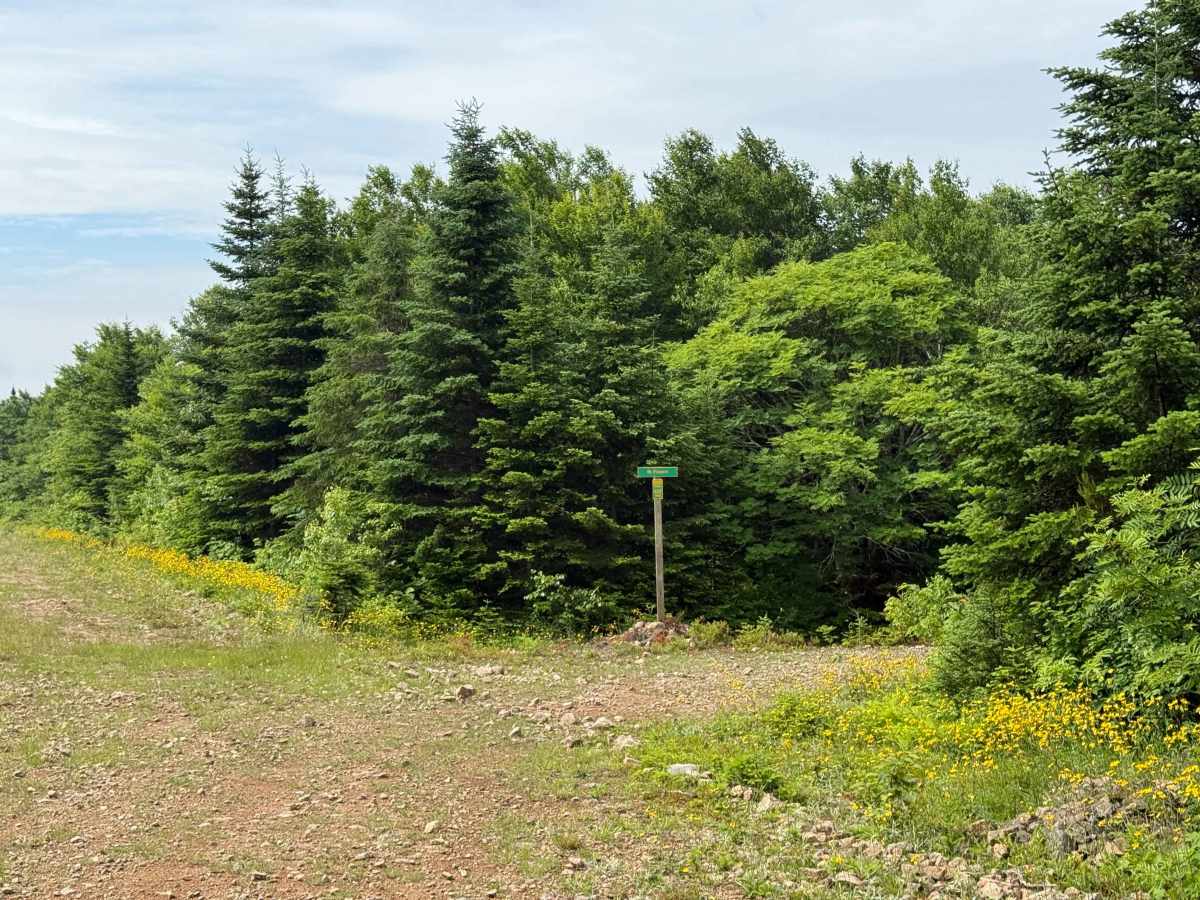
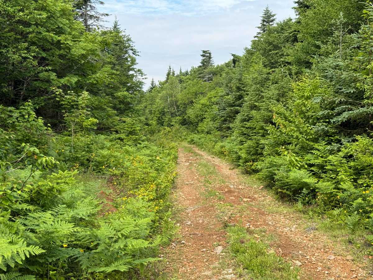
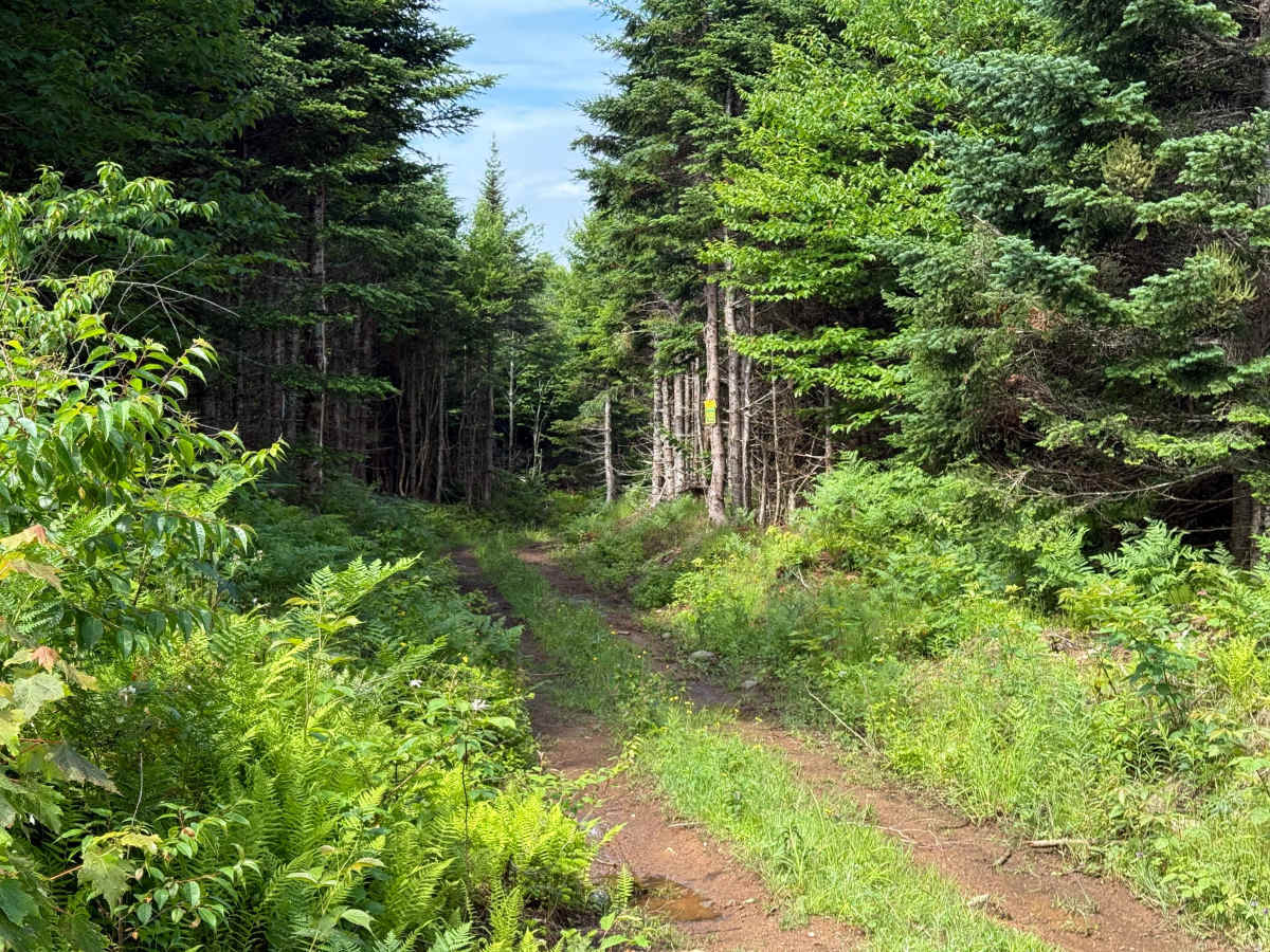
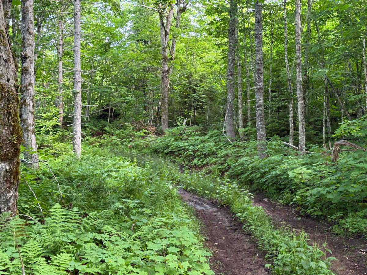
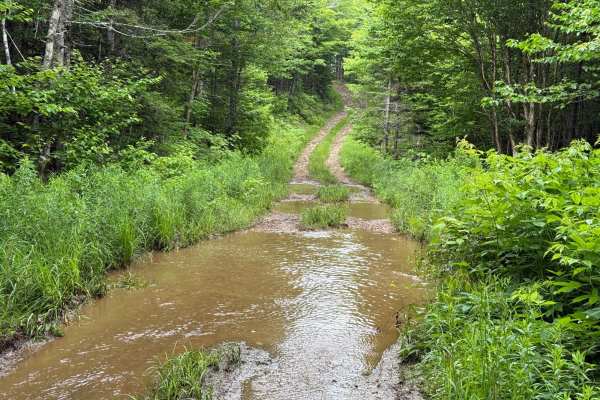
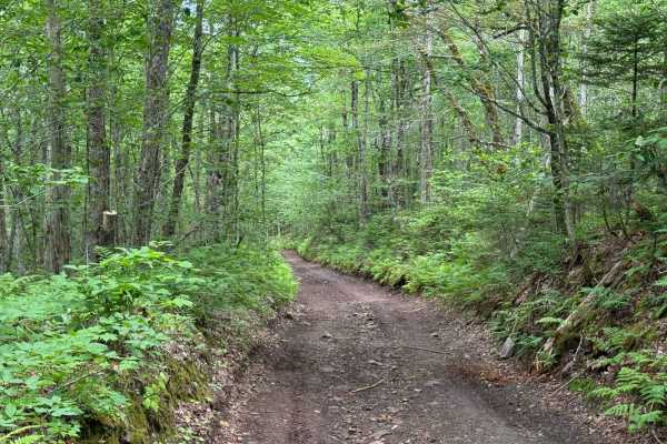
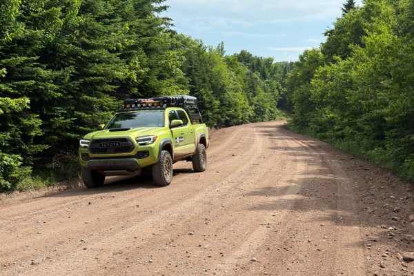
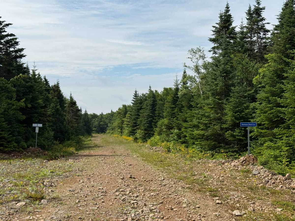
Normans Short Cut connects Mount Pleasant Road with Keppoch Road, serving as a rugged link between old logging spurs in the hills above Lake Ainslie. The east end begins from Keppoch Road near Mount Pleasant on a hard-packed dirt and gravel base, wide enough for most vehicles. About 600 metres in, the road narrows into a true two-track trail through dense woods. This section has tighter turns, deep ruts, and exposed roots that can be challenging after rain. As you approach the western end, the trail opens back up into another firm, two-track former logging spur for the final 600 metres. The combination of narrow woods trails and rough, rutted sections makes this a short but enjoyable connector for those exploring the Margaree Highlands. Seasonal conditions play a big role here, with mud and roots in spring adding difficulty, while in late summer and fall the trail tends to be firmer and more forgiving.

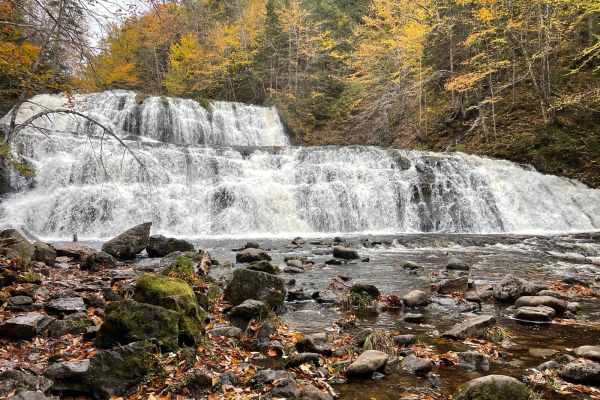
Photos of Normans Short Cut

Difficulty

The trail features a couple of sections with deep, muddy ruts and exposed roots, which can be slick and challenging, depending on recent weather conditions. The narrow wooded portion also limits manoeuvrability, especially for larger vehicles.

Technical Rating

3

Normans Short Cut Trail can be accessed by the following ride types:

  • Single Track
  • 50 Inch
  • 60 Inch
  • High Clearance

Normans Short Cut Map

The onX Offroad Difference

onX Offroad combines trail photos, descriptions, difficulty ratings, width restrictions, seasonality, and more in a user-friendly interface. Available on all devices, with offline access and full compatibility with CarPlay and Android Auto. Discover what you're missing today!

Open Trail Map