Trail Overview
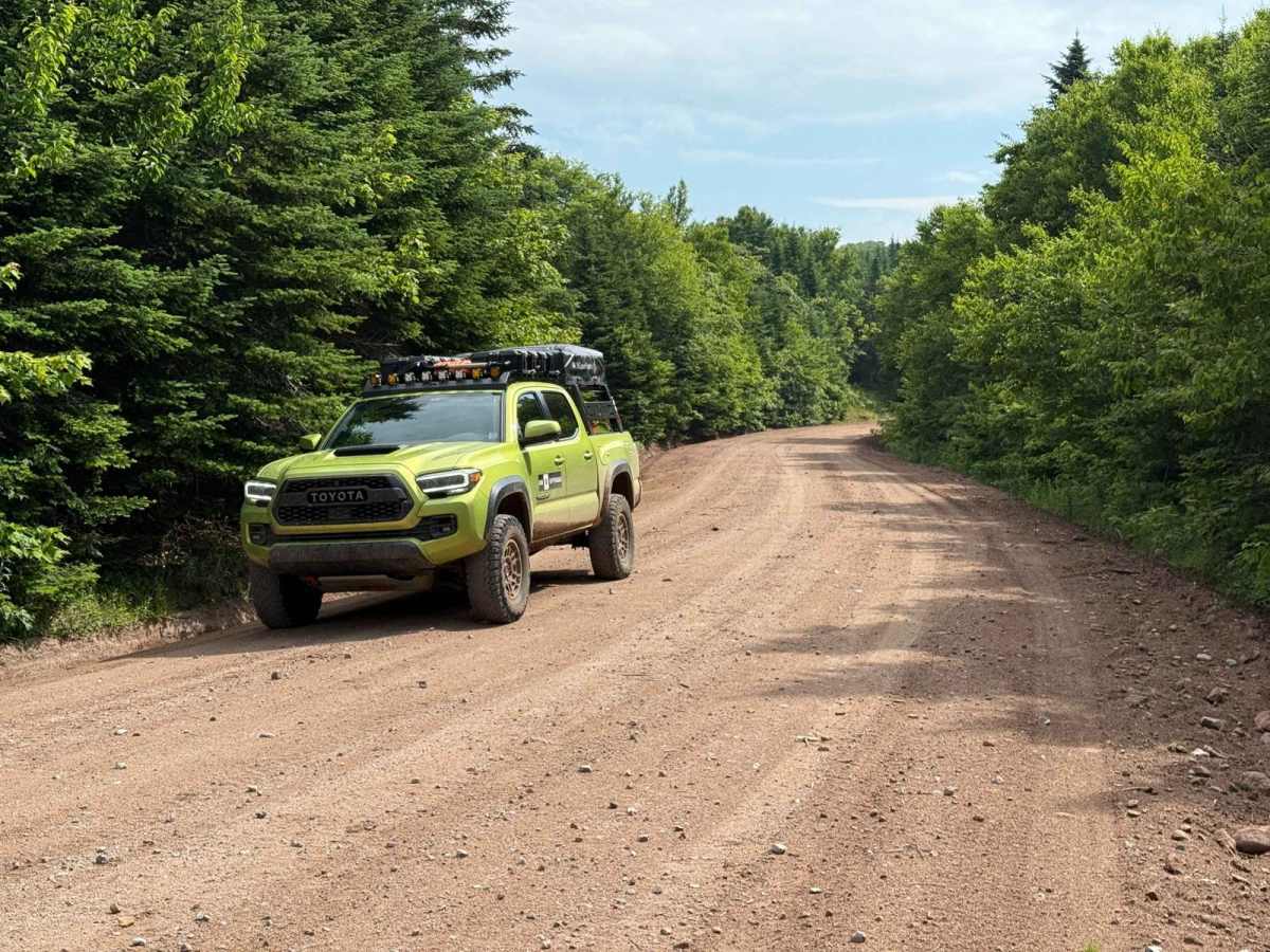
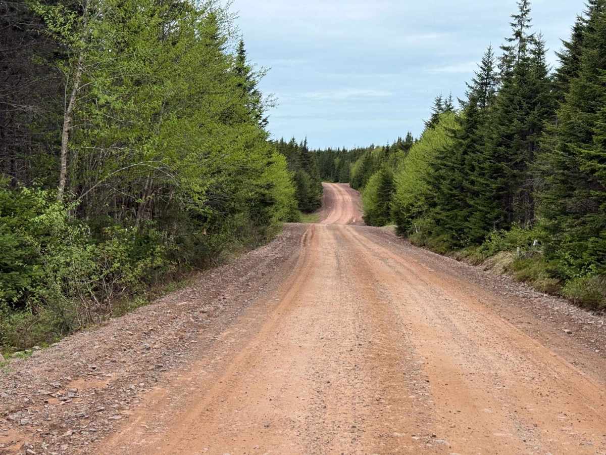
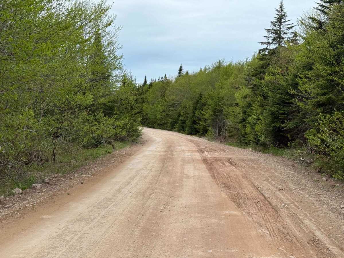
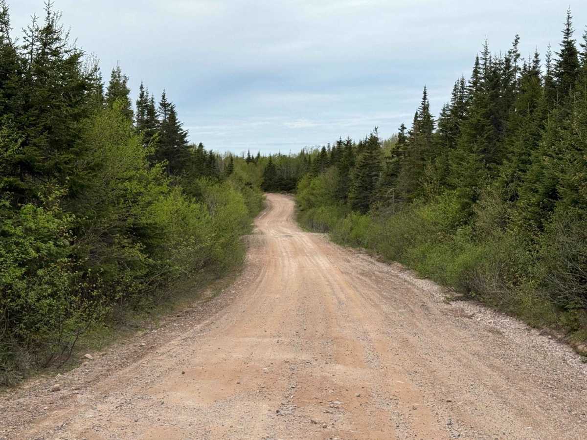
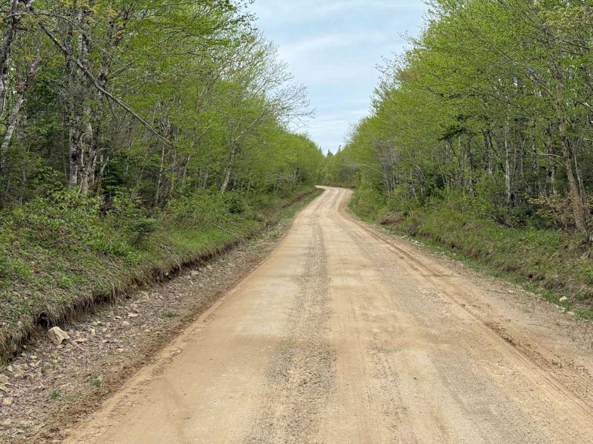
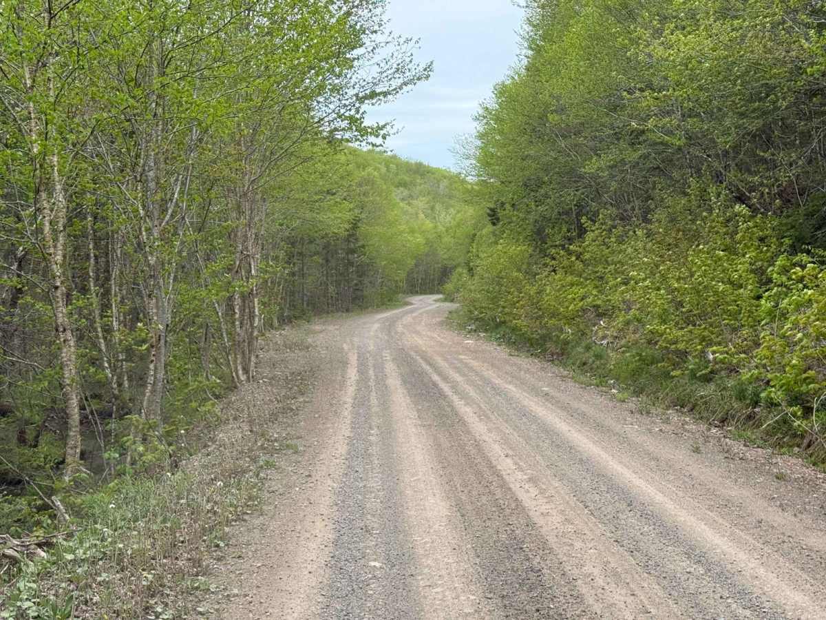
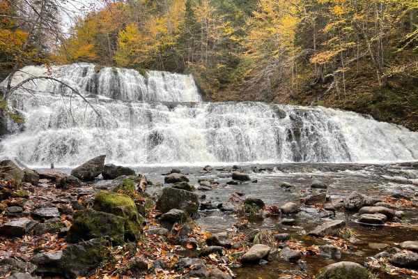
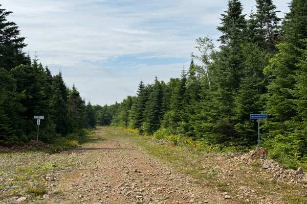
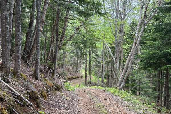
Mount Borden Road is one of the main entrances to the trail system east of Lake Ainslie, largely due to its proximity to Inverness, Mabou, and the popular Egypt Falls located near its western end. Approaching from the west, the road begins as a well-maintained two-lane residential dirt road. At 2.2 kilometres in, you'll reach the intersection with Pipers Glen Road. Continuing east from there, the road narrows slightly but remains relatively smooth. In spring 2025, the section between Pipers Glen and Trout Brook Road was freshly graded, with ditching repaired and several turns straightened to allow for better flow. Although Mount Borden Road is actively maintained as a logging route by Port Hawkesbury Paper, washouts can still occur after heavy rains. This road serves as an important access point to several interconnected trails in the region.
Difficulty
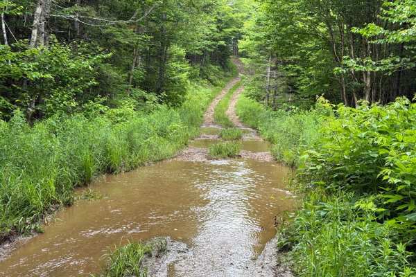
The trail surface consists mostly of loose gravel, and while generally easy to travel, it is prone to occasional washouts and rutting after heavy rain. The route remains manageable for most stock vehicles in dry conditions.
History
Locals still refer to this route as Egypt Mountain Road. Historically, it was officially named Egypt Road, but when another residential road in North East Margaree was also designated Egypt Road, that one retained the name to prevent confusion. Mount Borden itself lies just north of the road, near the intersection with Pipers Glen. This route appears on early land grant maps as a corridor connecting Upper Margaree through Southwest Egypt, Mount Borden, and Keppoch before terminating near Gillanders Mountain at the Inverness and Victoria County boundary. Its use has shifted over time from local access to forestry and now to recreation.