Trail Overview
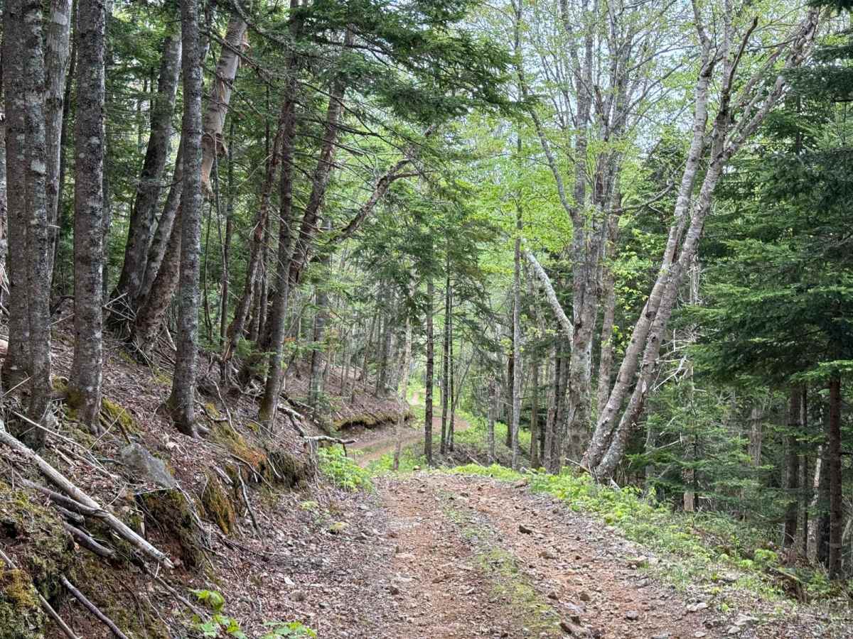
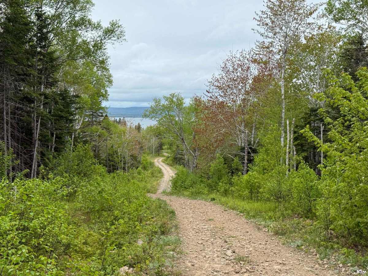
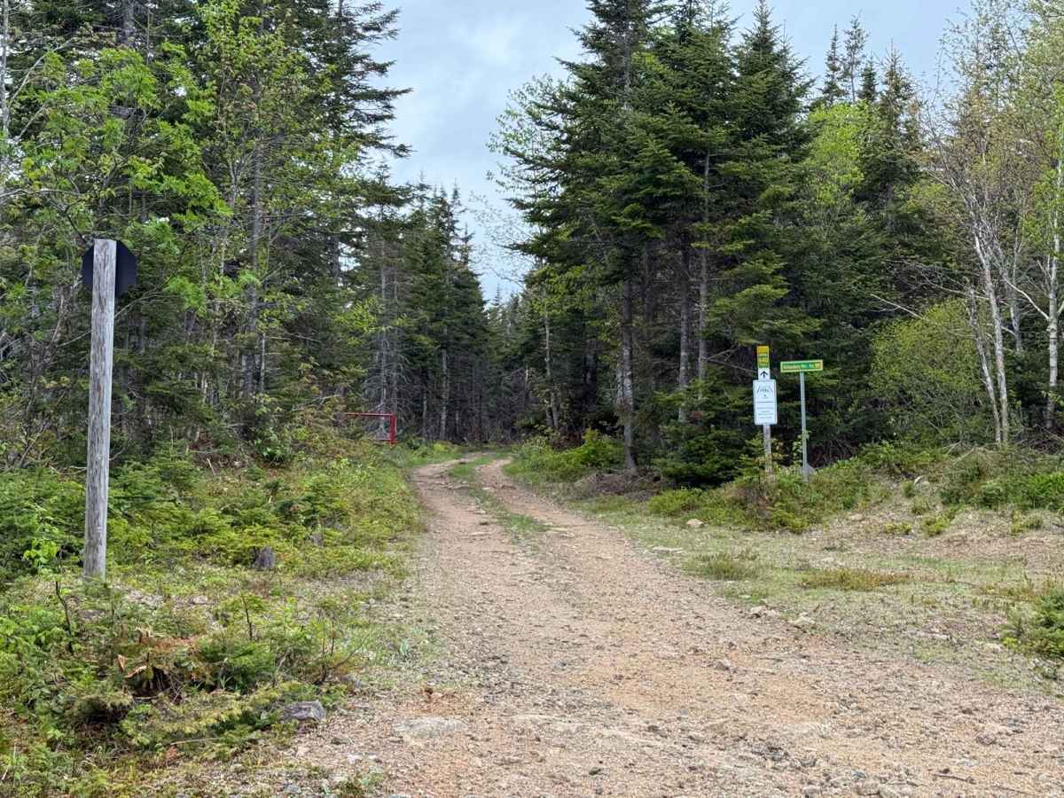
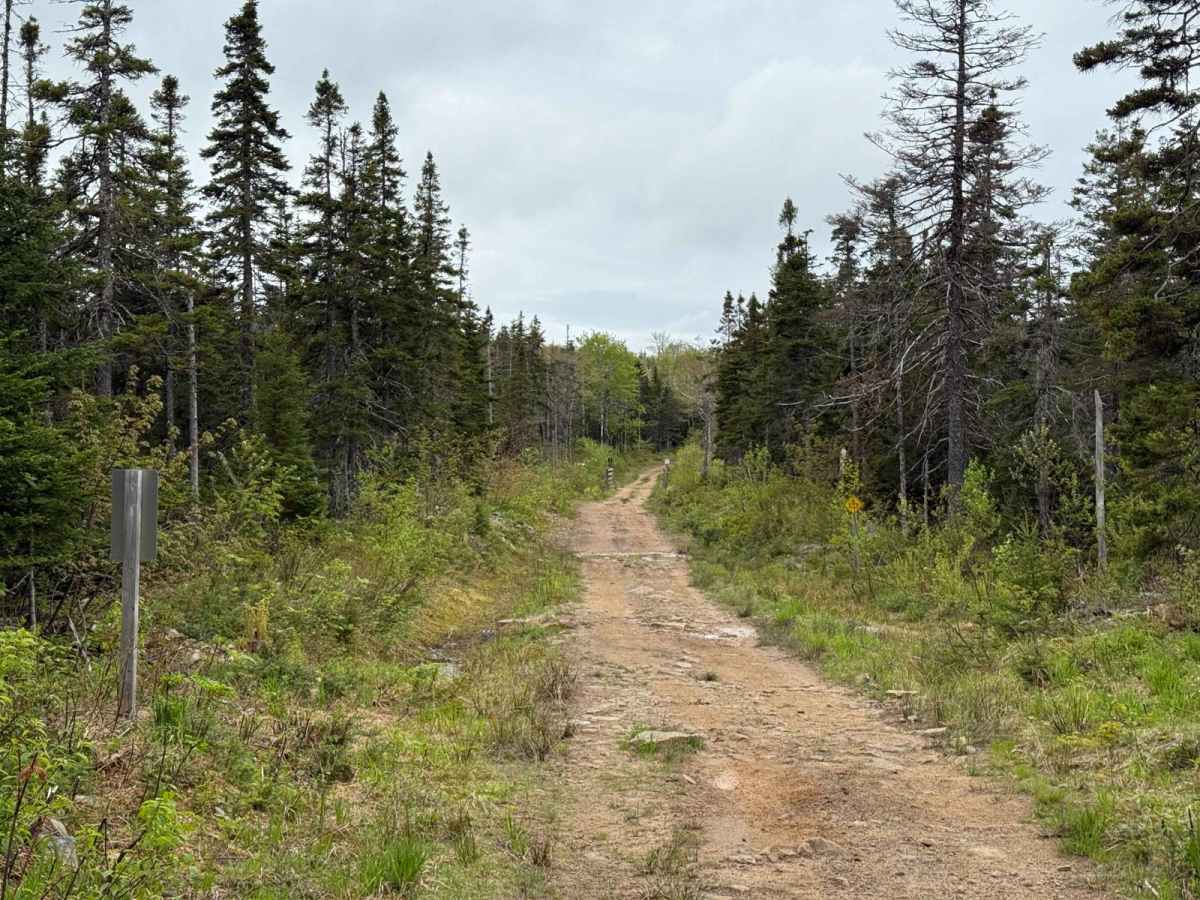
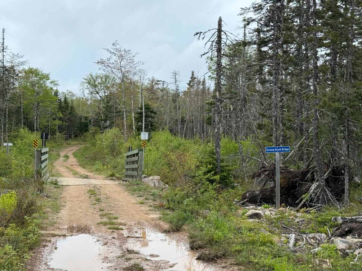
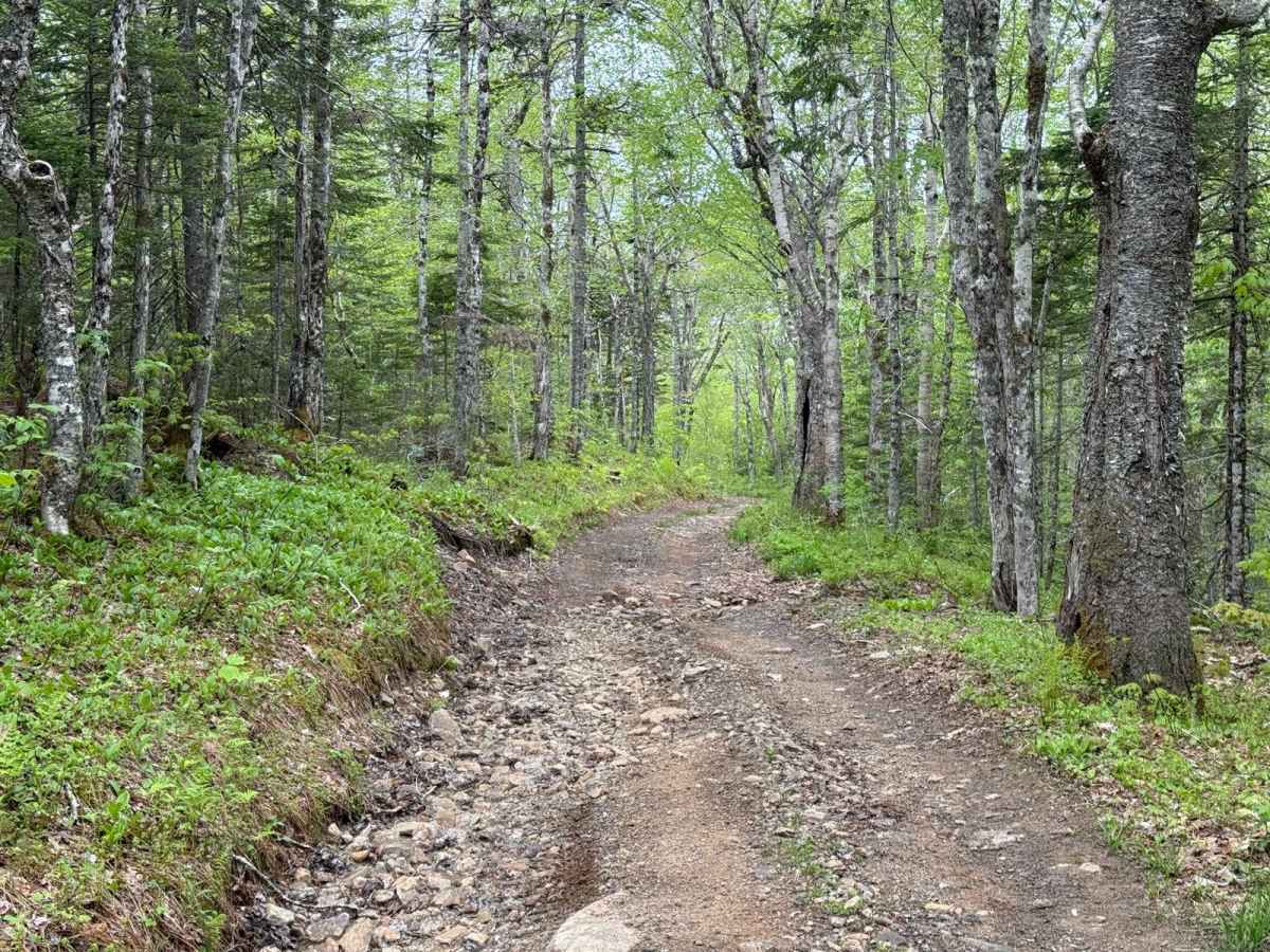
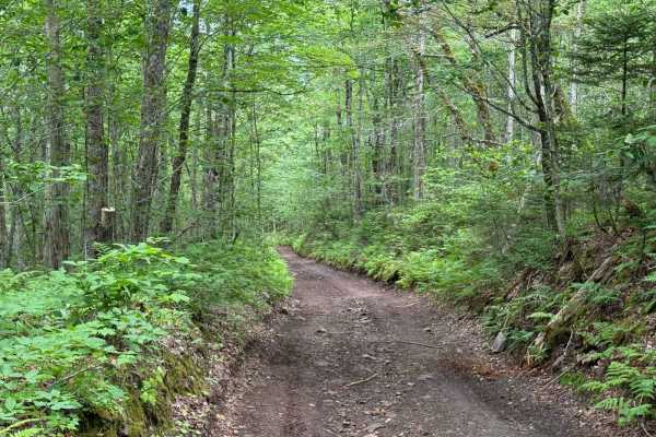
Gillanders Mountain Road (West) is a narrow, single-lane trail that follows an old mountain road alignment. The surface is mostly hard-packed dirt with sections of exposed rock and loose gravel. The trail is cleared wide enough to avoid pinstriping from vegetation. Starting at the eastern entrance, the route is well-worn and travels 600 metres to the Swamp Brook Bridge, which has a 4,500 kg maximum load limit. From there, the trail winds through an old forest road corridor with scattered rock and shallow washout sections. Fallen trees and low-hanging branches are common, especially after storms. Around 3 kilometres in, there's a moderate switchback, followed shortly after (3.4 km) by a second 4,500 kg bridge at a clearing known as Milton's Meadow. At the 4.6-kilometre mark, the original Gillanders Mountain Road continues north but is no longer passable due to overgrowth and significant washouts. Drivers must stay straight. Beyond this point, the trail becomes more scenic, passing by the MacDonald House site before exiting at Highway 395 near East Lake Ainslie. This route is closed to wheeled vehicles in winter and is maintained as part of the Bealach Breagha (Beautiful Mountain Pass) segment of The Great Trail. It also serves as part of the Inverness Capers Snowmobile Club's Route 640.
Difficulty
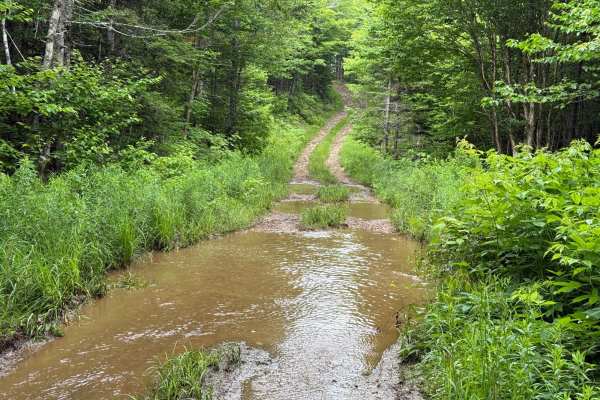
This mountain road includes steady elevation changes, loose rock, and shallow washouts that may shift after rainfall. A few sections are narrow, and fallen branches or downed trees are common, especially after storms. Drivers should be prepared for uneven surfaces and limited passing space.
History
Gillanders Mountain Road was originally built as a continuous mountain route connecting Middle River to East Lake Ainslie, crossing the highlands by way of Gillanders Mountain. Today, the full route spans roughly 18 kilometres but is no longer drivable end to end. Starting from Highway 395, the first 1.6 km of the original road alignment is completely overgrown and impassable. A bypass route now connects the highway to Gillanders via private property. From there, Gillanders Mountain Road (West) runs for 4.6 km before reaching another overgrown section. The middle 5.8 km of the original road has long been abandoned and is no longer navigable due to dense overgrowth and washouts. The eastern 7.7 km, beginning near Middle River, remains passable and will be documented separately as a second trail submission. This segmentation reflects the road's decline from a continuous highland corridor to two separate access points, each still used recreationally today.

 Offroad