Trail Overview
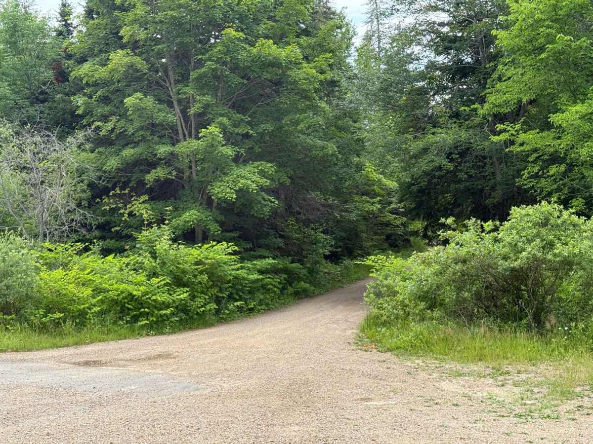
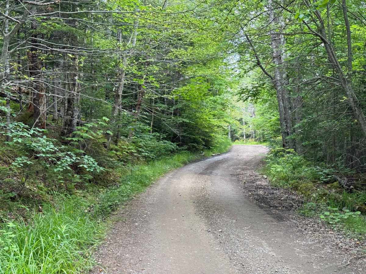
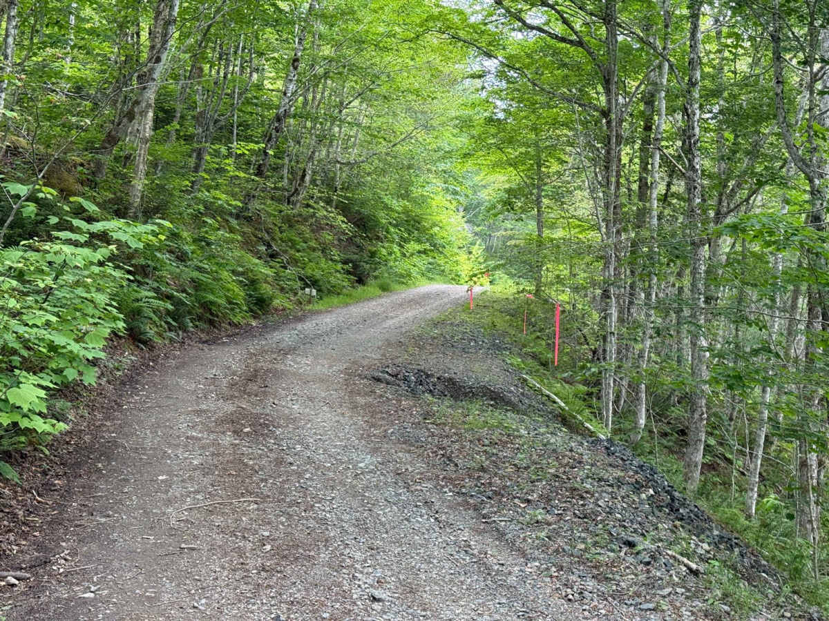
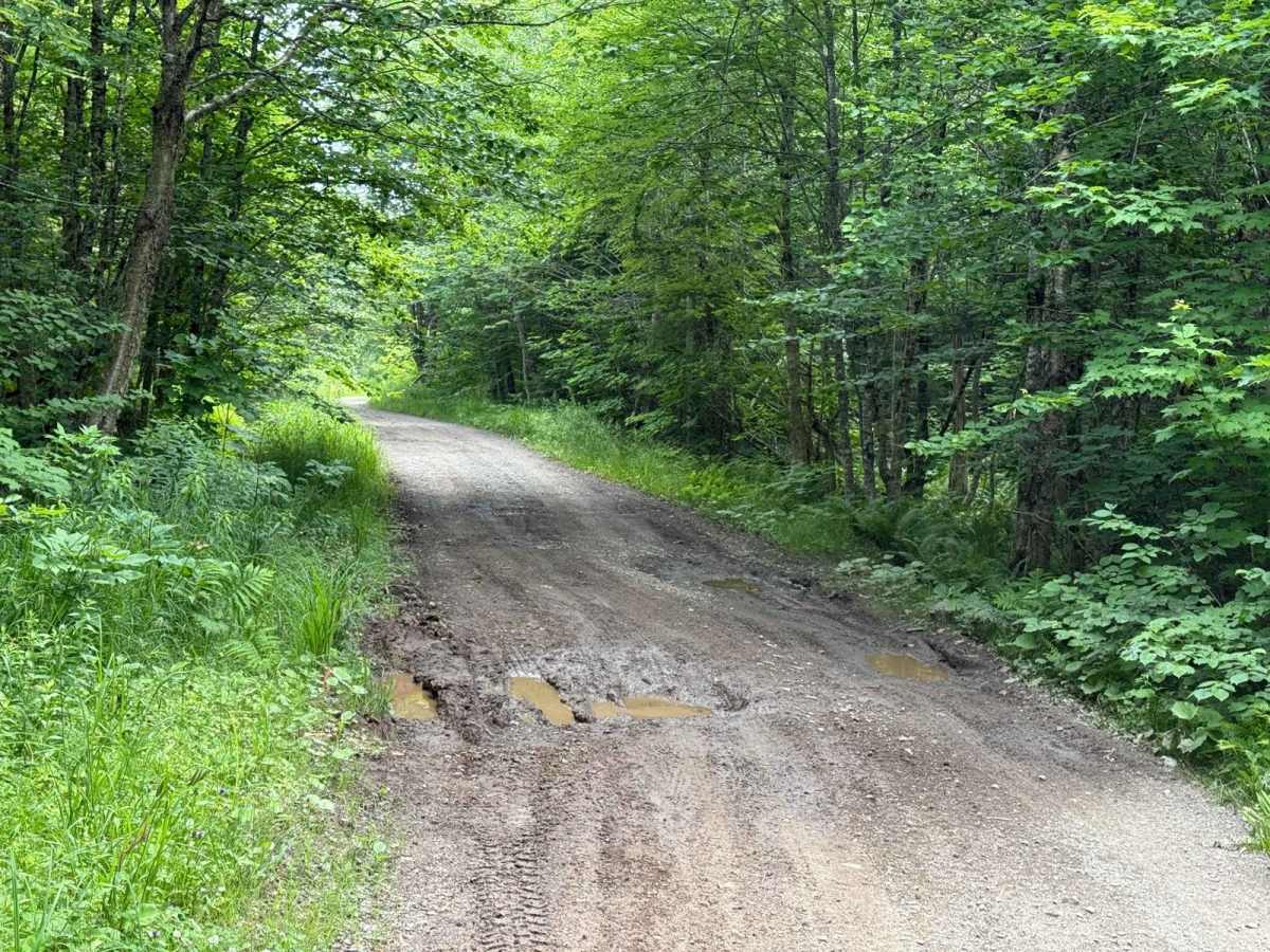
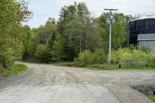
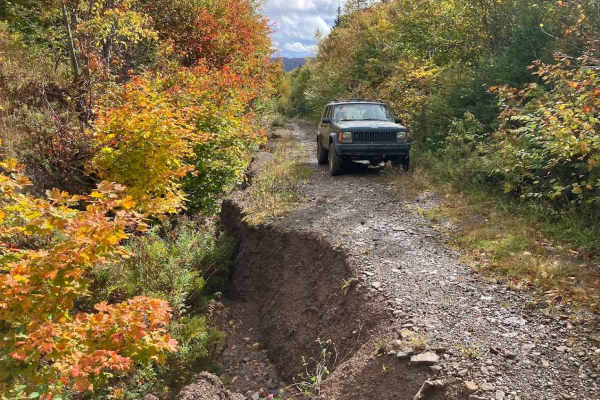
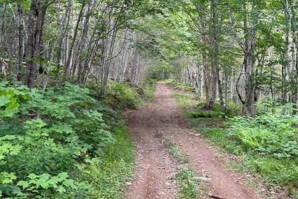
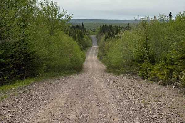
River Denys Mountain Road is a crescent-shaped route that starts and ends on Highway 105, offering a mix of smooth travel and moderate mountain terrain. From the north entrance, the trail begins as a well-used, hard-packed dirt road. About 1 kilometre in, the road starts to climb steadily up River Denys Mountain with a short switchback leading into a narrow shelf road. Along this section, users will encounter mild road edge erosion in a few areas and small washouts that require cautious driving.The trail continues along the upper slopes before making a sharp 90-degree turn south and beginning its descent. The downhill portion follows the same narrow, hard-packed dirt shelf road, with loose rock and another small switchback. Erosion is present along the outer edge in several places. Near the southern end, the road widens into a smoother, two-lane residential-style dirt road for the final 800 metres before reaching Highway 105 again.
Difficulty
The trail includes loose rock in multiple areas, particularly along the descent, which can affect traction. There are several small washouts along the upper shelf road that may require careful tire placement. Road edge erosion is present on both the ascent and descent, reducing usable road width in certain spots and requiring attention when passing.
History
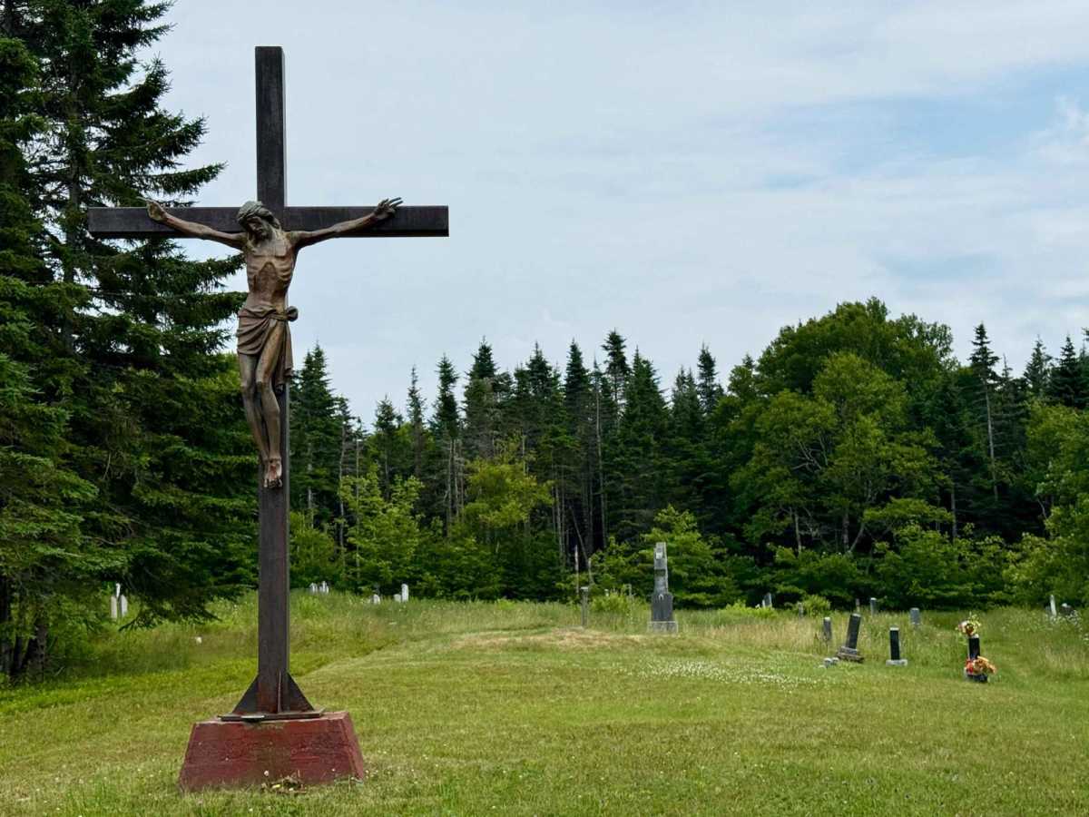
River Denys Mountain was once home to a small Gaelic-speaking settlement founded by Scottish immigrants from South Uist in the early 1800s. The most significant landmark from this community is St Margaret of Scotland Catholic Church, built in 1841 and still standing today. It is the oldest public building in Inverness County and a powerful reminder of the people who carved out lives on the mountain. The church was expanded in 1899 and features a unique blend of Gothic and Romanesque architecture. While the last families left the mountain in the 1950s, the church remains active for special services and an annual Gaelic Mass. The road now serves recreational users, but its path follows the terrain that once connected a vibrant pioneer community.