Trout Brook Road

Total Miles13
Technical Rating
1Easy
Best TimeSpring, Summer, Fall
Trail TypeFull-Width Road
Accessible By
Open Trail Map

Trail Overview

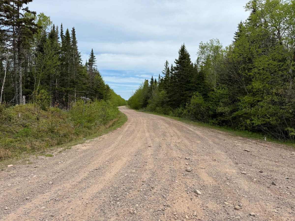
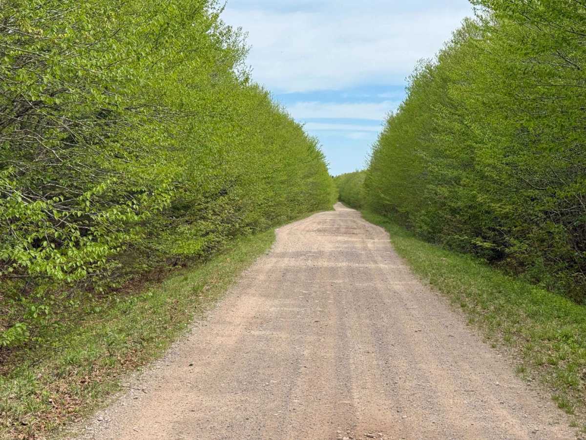
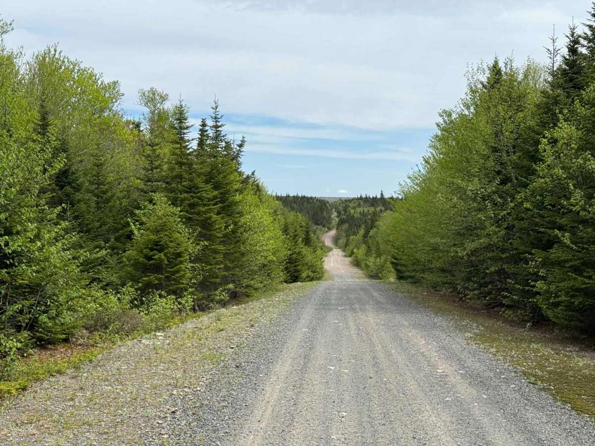
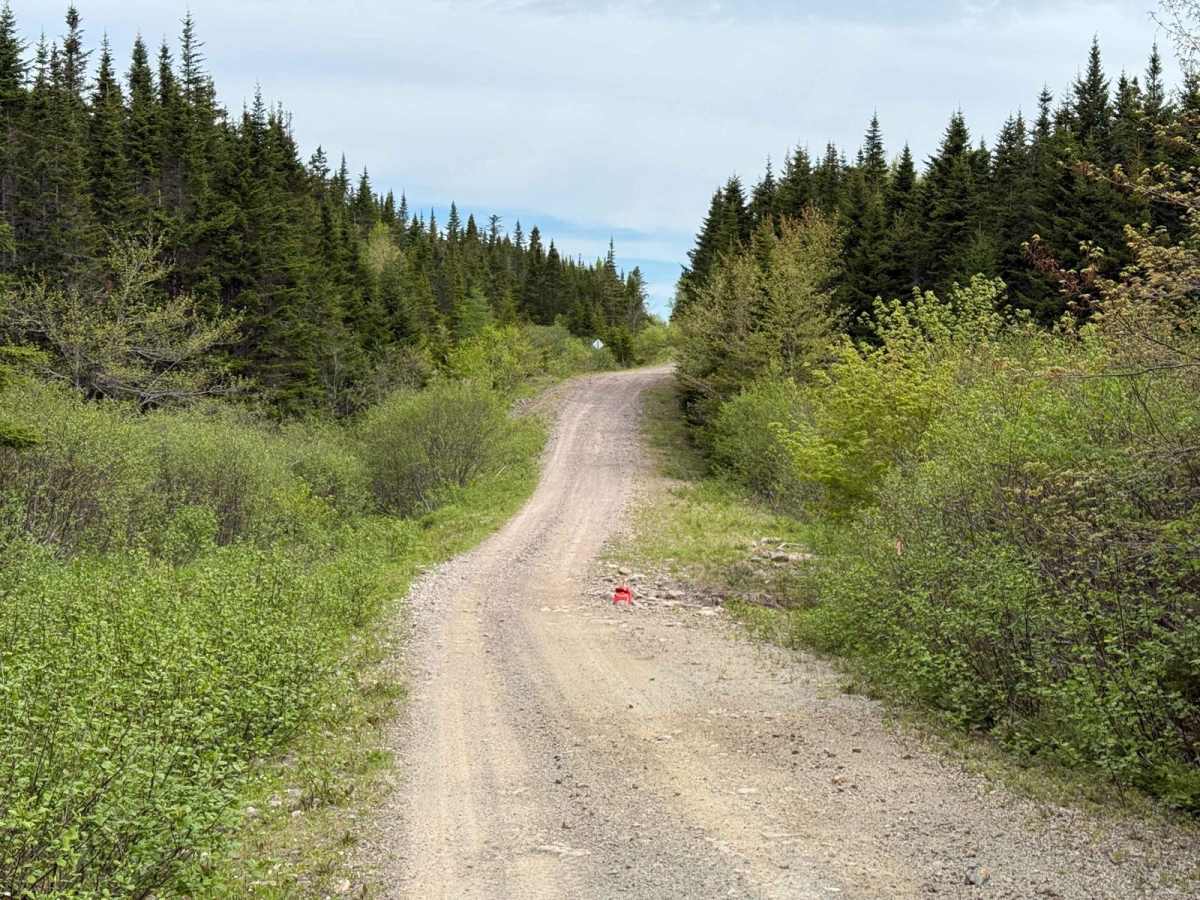
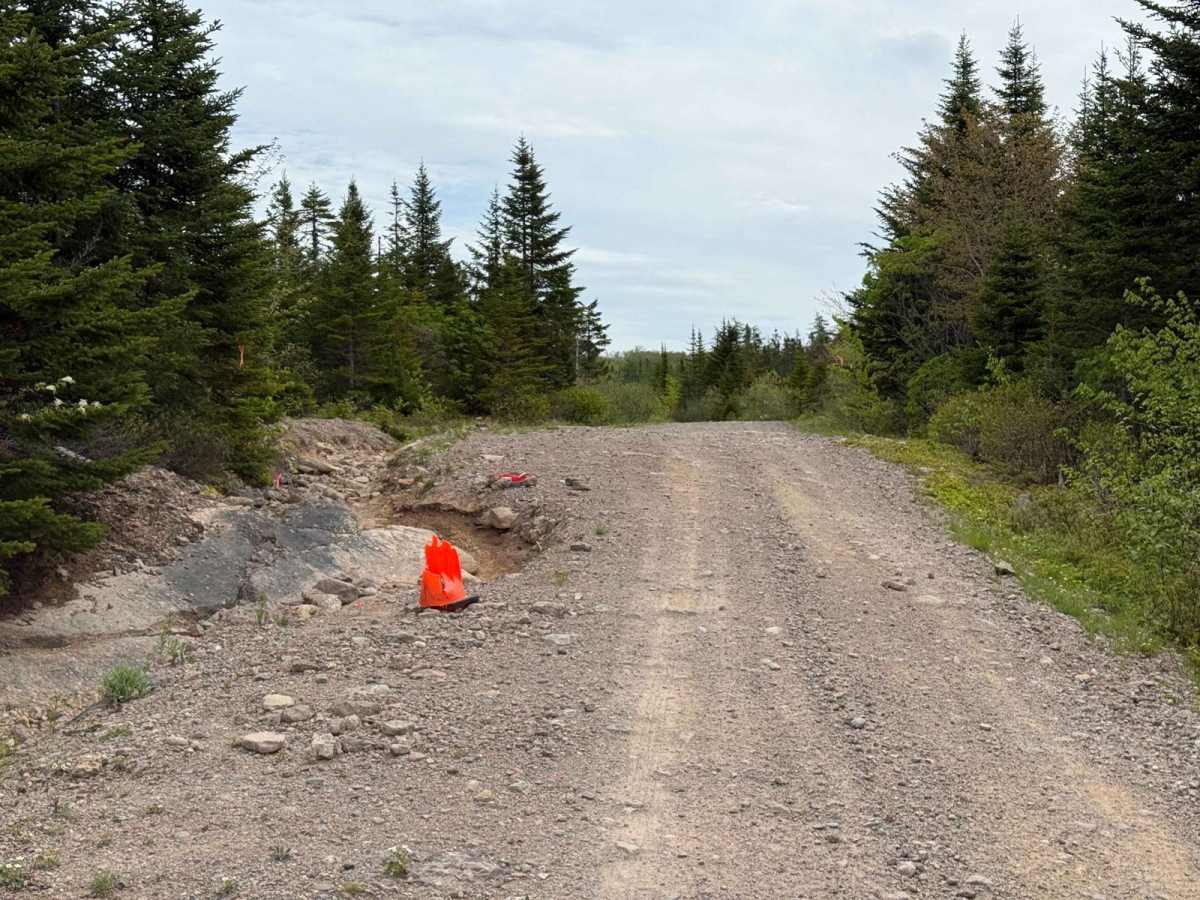
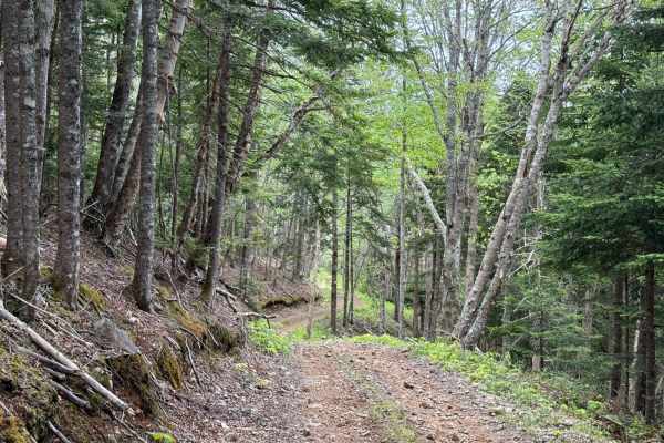
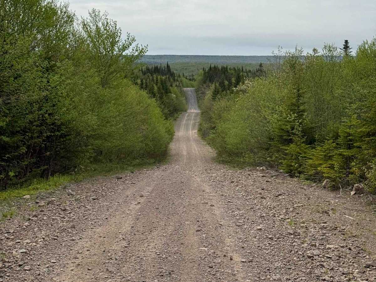
Trout Brook Road is a hard-packed dirt and loose gravel logging road running between the east side of the Trout Brook Wilderness Area and the west side of the Humes River Wilderness Area. It forms parts of ATVANS Routes 104 and 105 and is included in the Trans Canada Trail. The route is a main artery in the network, featuring loose rocks, exposed bedrock, potholes, and small washouts. The north end may host active logging operations, so be aware of vehicle activity.

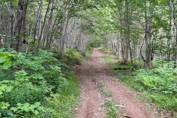
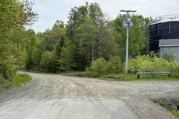
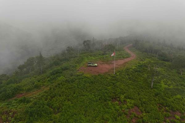
Photos of Trout Brook Road

Difficulty

Loose rock and small washouts may sneak up on you.

History

Trout Brook Road was originally built as a logging road for the Oxford Paper Company, which operated extensively in the region. The company's activities in the early to mid-20th century shaped much of the local trail network, now repurposed for recreation.

Technical Rating

1

Trout Brook Road Trail can be accessed by the following ride types:

  • Single Track
  • 50 Inch
  • 60 Inch
  • High Clearance
  • Full Width

Trout Brook Road Map

The onX Offroad Difference

onX Offroad combines trail photos, descriptions, difficulty ratings, width restrictions, seasonality, and more in a user-friendly interface. Available on all devices, with offline access and full compatibility with CarPlay and Android Auto. Discover what you're missing today!

Open Trail Map