Trail Overview
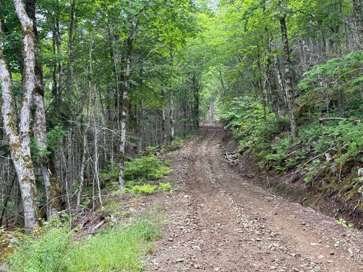
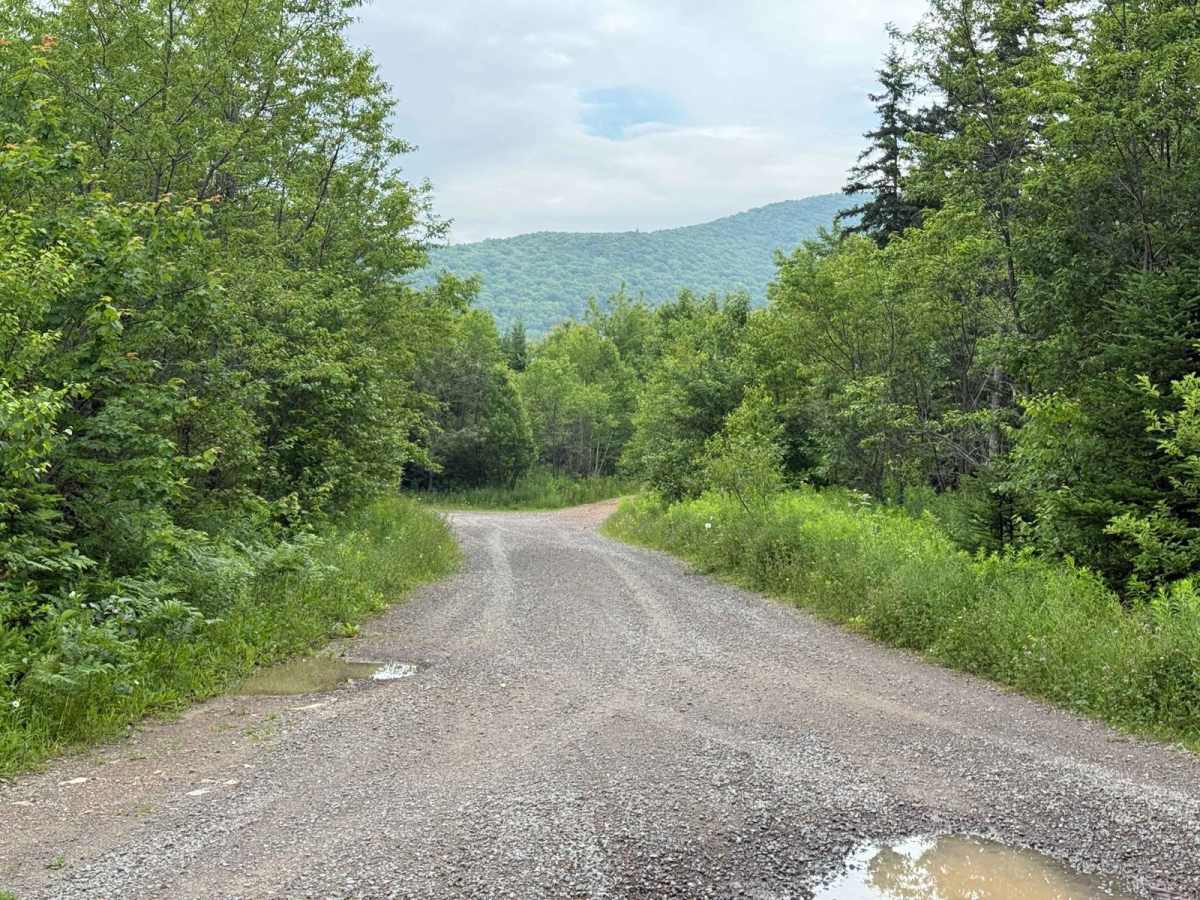
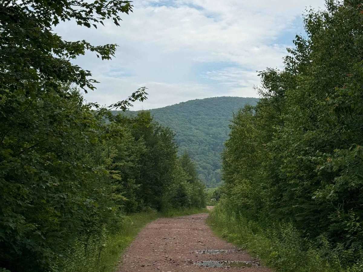
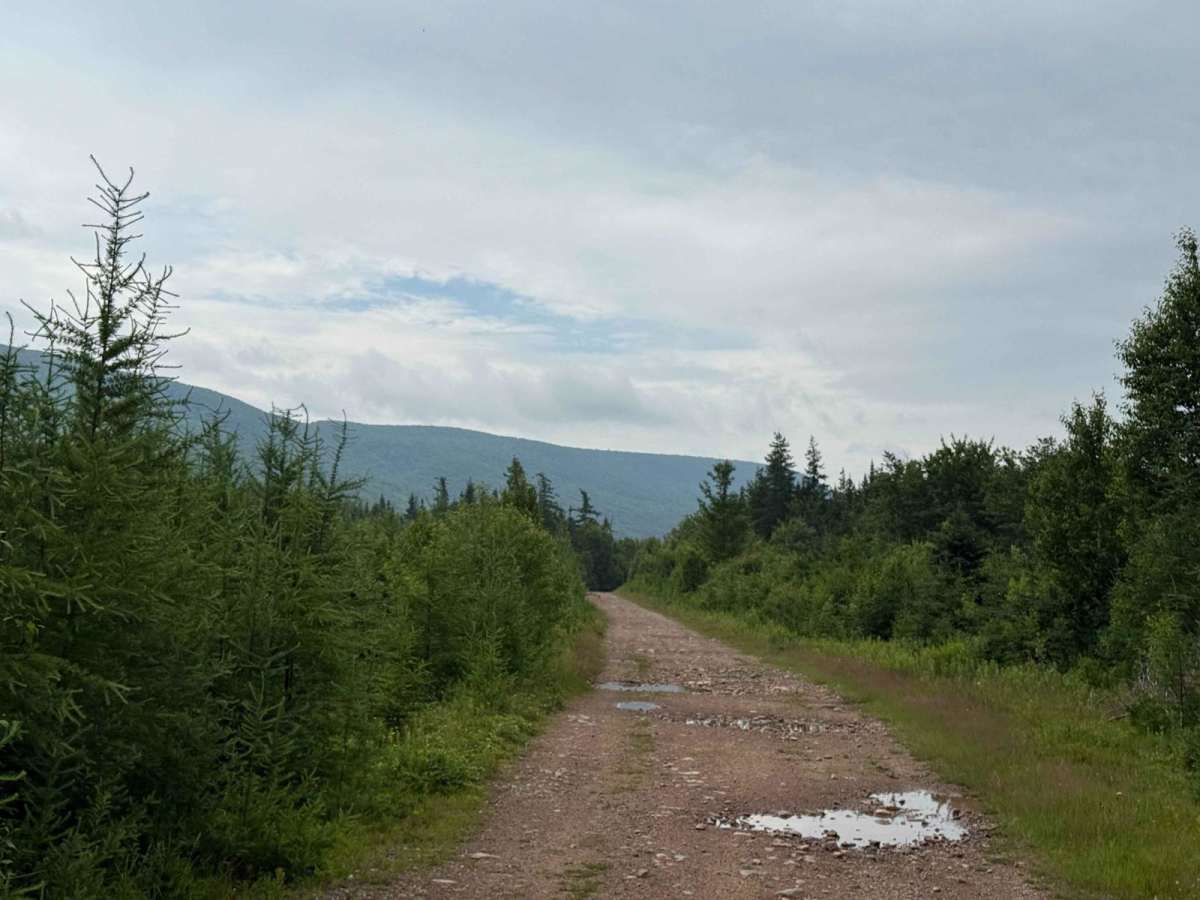
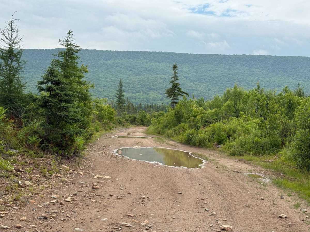
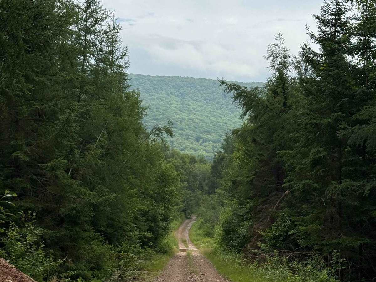
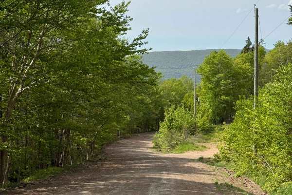
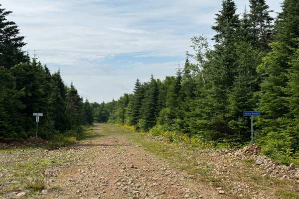
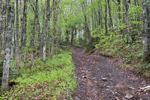
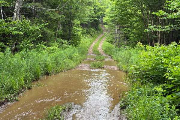
Starting at the northern end in North East Margaree, the trail is part of ATVANS Route 105. It begins as Stubbard Road on loose gravel, then quickly transitions to hard-packed dirt with scattered loose rock and large potholes. About 350 metres from the start, there is a Y-junction where you should stay right. At the 3 kilometre mark, the trail narrows into a single-lane mountain pass with steep shelf road sections, loose rock, and several switchbacks. This portion was recently reopened after a washout, and some areas still show signs of erosion. The climb up Twelve O'Clock Mountain is sustained and uneven. At the summit, the trail levels out and enters a heavily wooded area, continuing as a hard-packed two-track. There are some water holes and muddy sections depending on recent weather. The route still includes rolling grades, and steeper sections contain more loose rock and potential washouts. Around the 10 kilometre mark, the trail widens again into a smoother two-track with occasional potholes. From there to the end, it transitions to a wide logging road with a packed surface and good visibility. The trail ends at Keppoch Road, where there is a small clearing with an outhouse and an emergency kit.
Difficulty
This trail includes a long, steep climb with sections of loose rock and narrow shelf roads. Several switchbacks are located in the first half of the route. The trail has experienced washouts, particularly near the 3 to 6 kilometre mark, and surface conditions can change quickly due to erosion or rainfall.
History
This route appears to be a modern realignment of several older access routes. The northern portion follows a combination of early logging roads and land grant access roads. The southern section, especially beyond the 10 kilometre mark, is more recent and was developed as part of modern logging operations.

 Offroad