Trail Overview
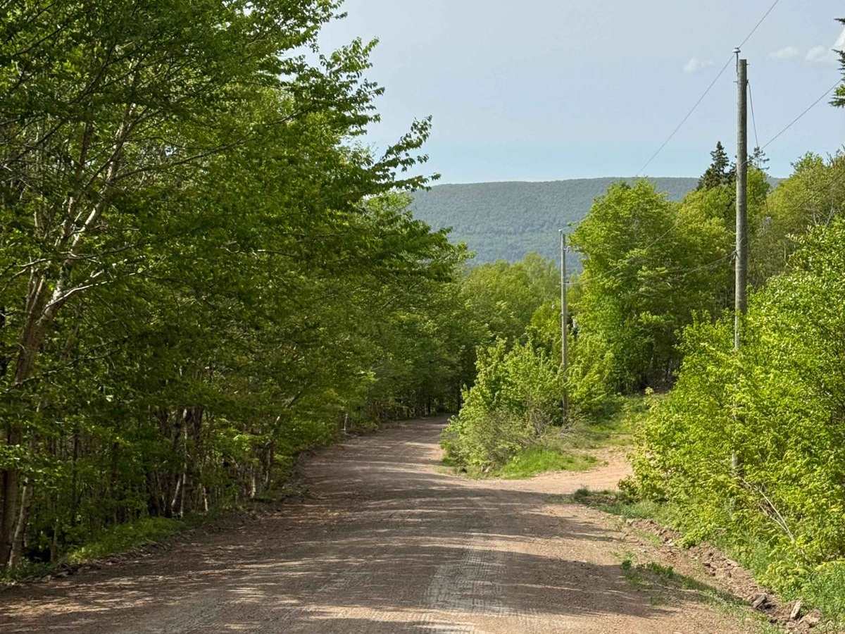
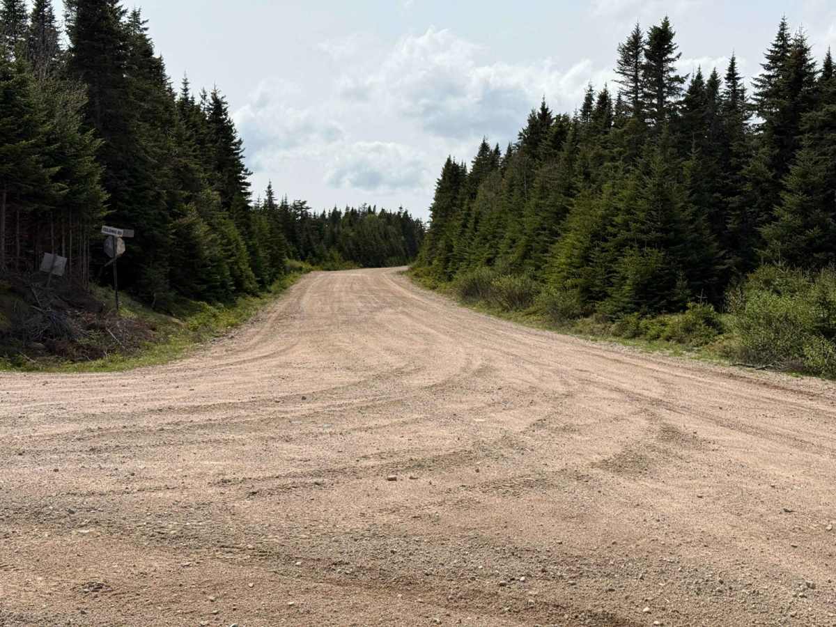
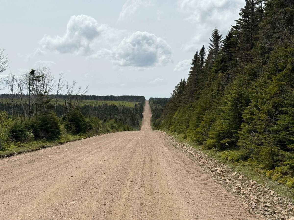
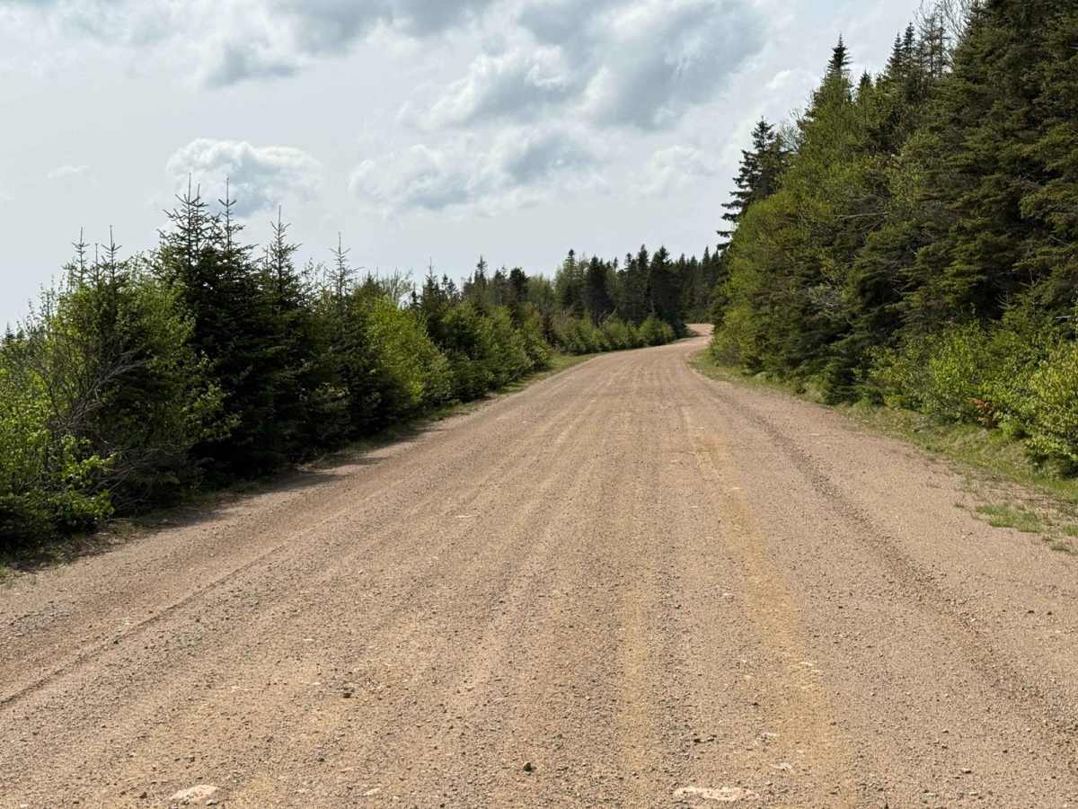
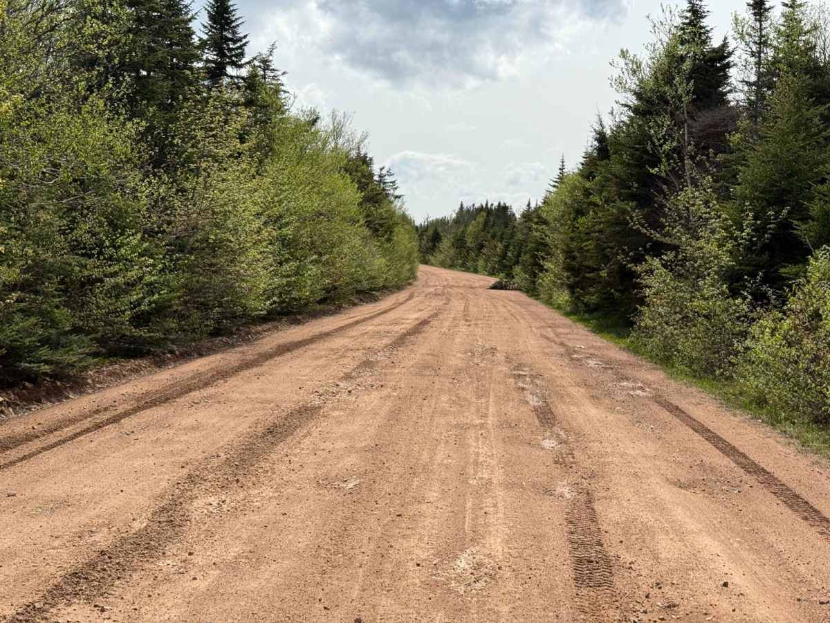
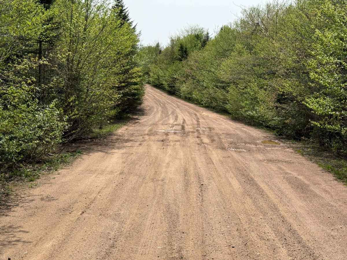
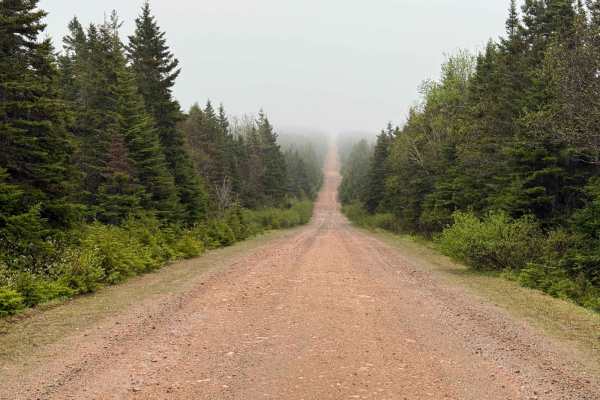
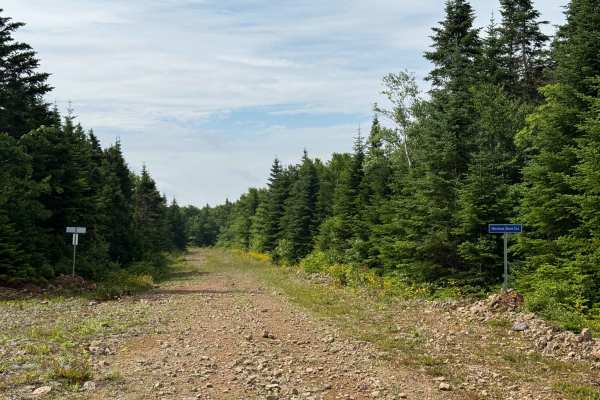
Fielding Road is a straightforward route leading from the Margaree Valley into the highlands. The eastern end starts at East Big Intervale Road, and the western terminus is at Highland Road, about 8.5 km south of the road to Cape Clear. This hard-packed, two-lane dirt road is primarily used by logging equipment and workers accessing the highlands' cultivated areas. Along the way, there are many smaller trails branching off Fielding Road.
History
Fielding Road is one of the oldest routes into the Cape Breton Highlands, originating in the 19th century near the former settlement of Frizzleton in Northeast Margaree. Named in 1891 after James Frizzle, a pioneer settler and postmaster, Frizzleton was a local hub before becoming part of Margaree Valley in 1961. Early settlers along Fielding Road, including the Crowdis, Greig, Fraser, McDonald, and Burton families, used the route to access homesteads and farmlands. By the mid-20th century, the road supported logging operations and continues to serve as a vital link for forestry and recreation today.