Trail Overview
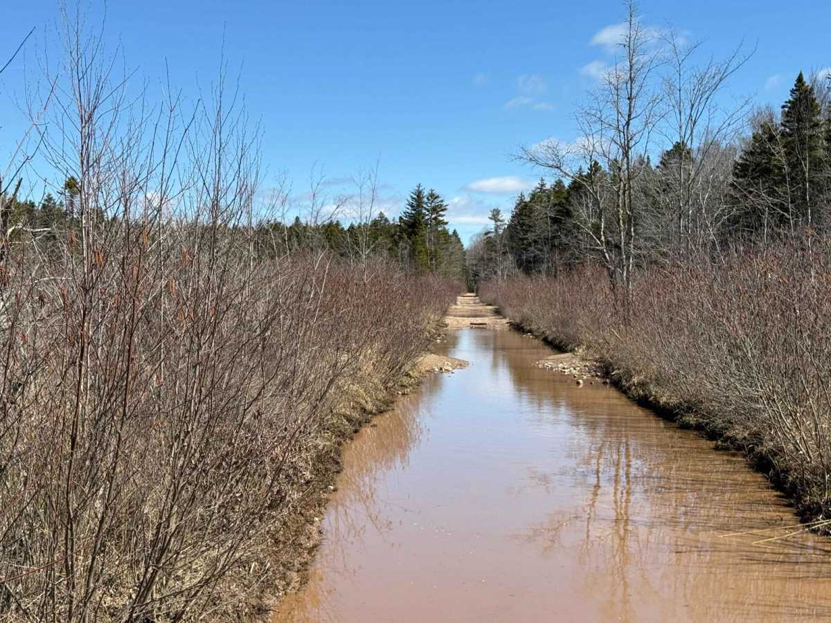
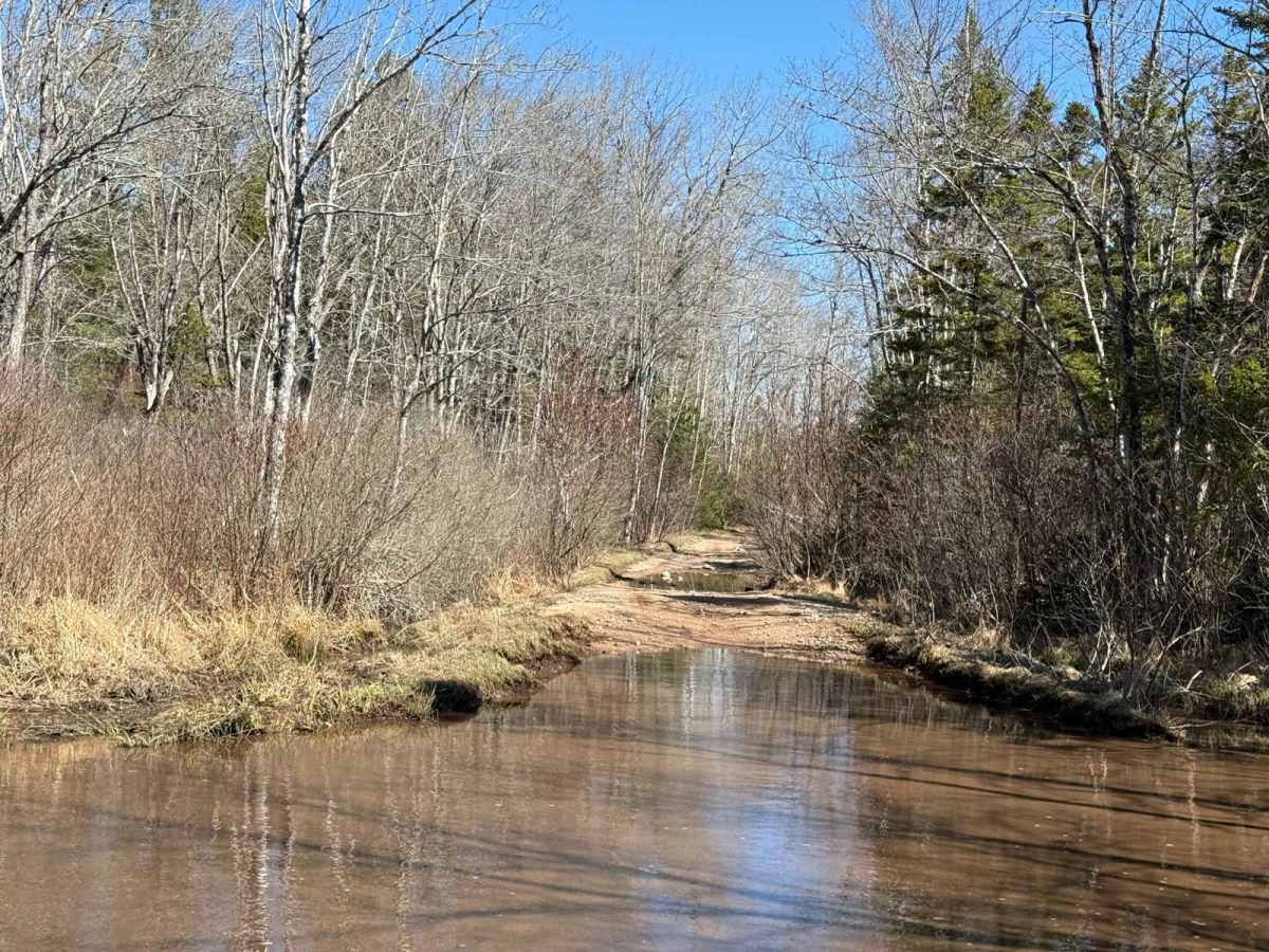
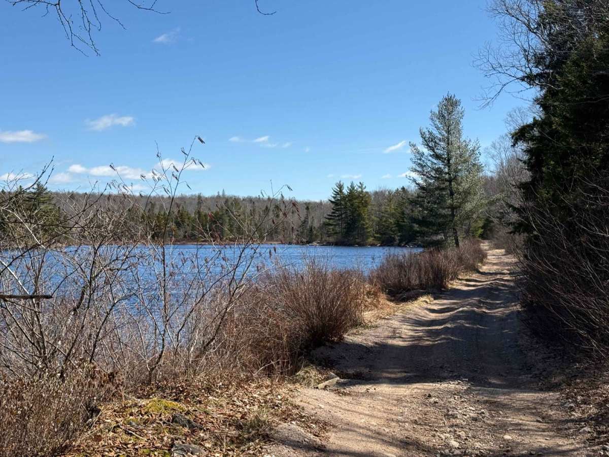
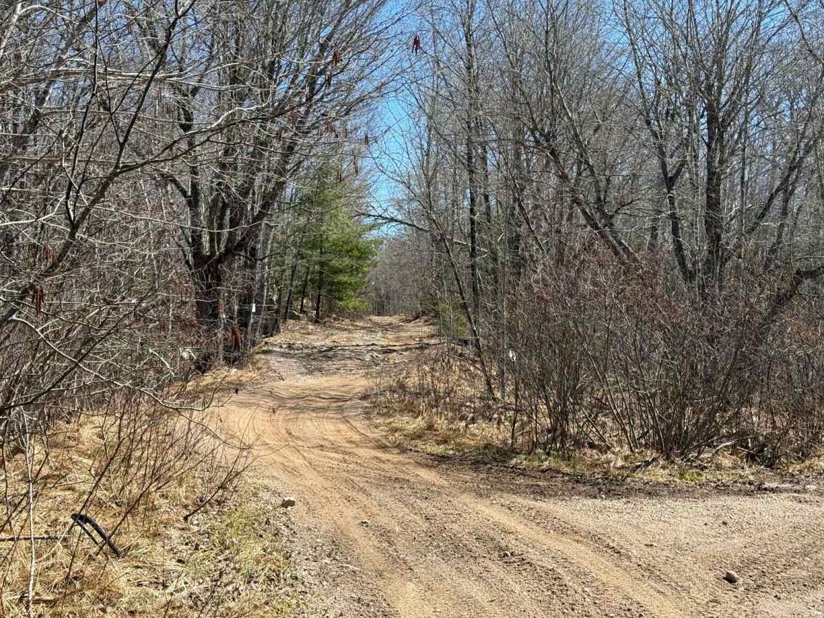
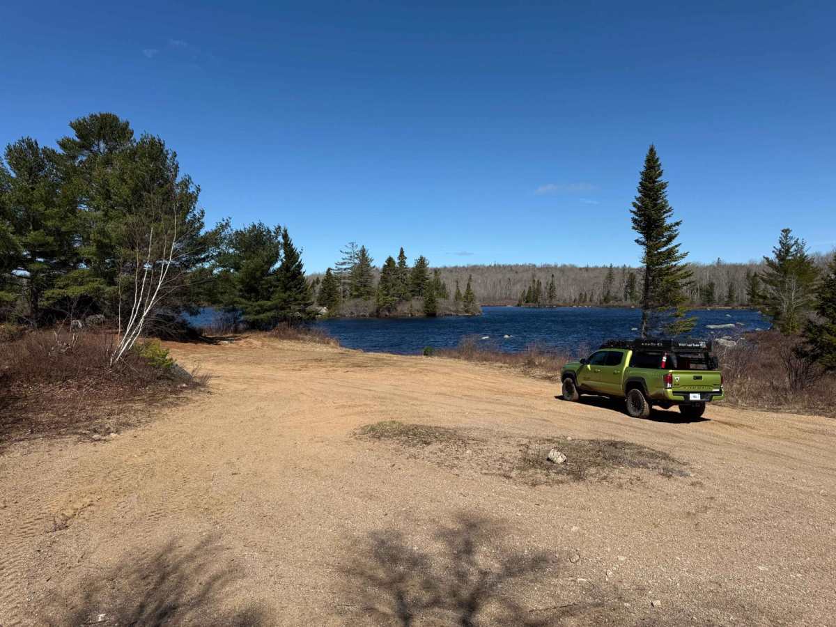
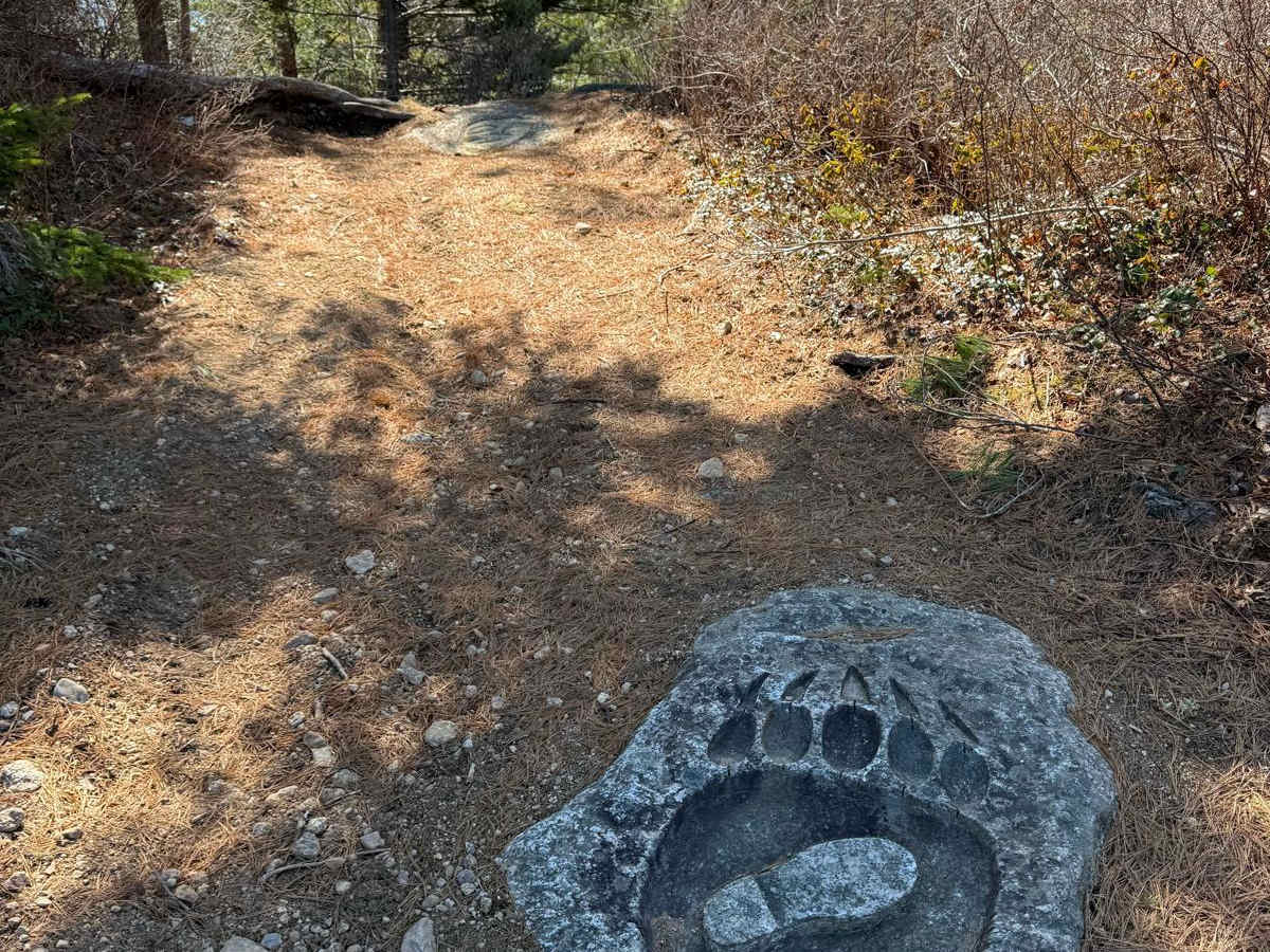
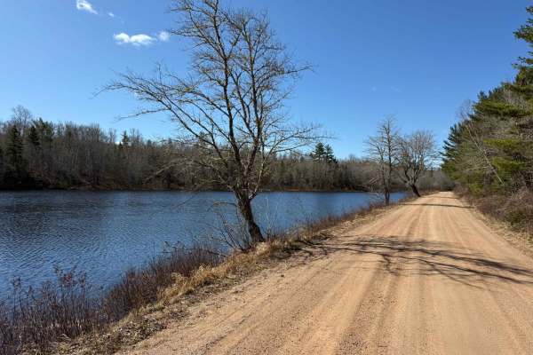
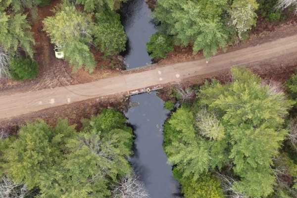
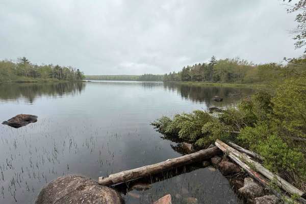
This trail follows a rail bed spur of the old Springfield railway, featuring a hard-packed dirt single-lane path with a few spots for passing. The trail begins with a few large flooded areas. As it's an old rail bed, the path is mostly straight with gradual curves. It's well-used, so you'll encounter some areas of exposed rock, though nothing overly challenging. At 2.2 km in, keep left at the Y intersection. Beyond this point, you'll encounter more flooded sections of the trail; stick to the edges and drive slowly. Upon reaching South River Lake, you may be able to access the far beach if the water level is low enough.
History
The South River Lake Trail traces a former rail bed of the Springfield Railway, a logging railway operated by the Davison Lumber Company in the early 20th century. Constructed beginning in 1905, the railway expanded over the years to cover more than 105 kilometres, facilitating access to 325,000 acres of company-owned woodland. The spur leading to South River Lake was completed in 1908, with ballasting finalized in 1909. Today, this repurposed rail bed offers a glimpse into Nova Scotia's rich logging history while providing a scenic route for outdoor enthusiasts.