Route 99

Total Miles9.7
Technical Rating
1Easy
Best TimeSpring, Summer, Fall
Trail TypeFull-Width Road
Accessible By
Open Trail Map

Trail Overview

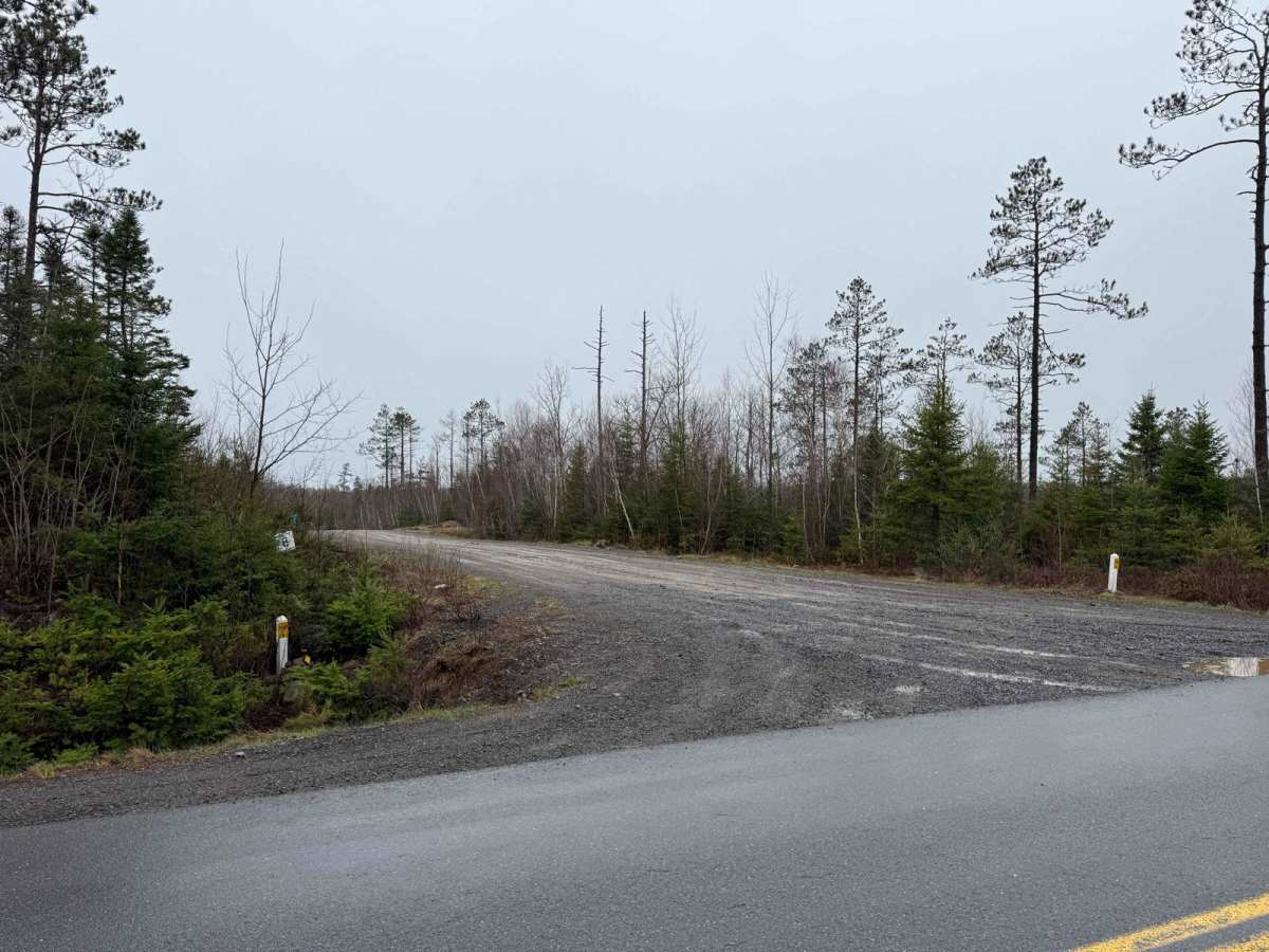
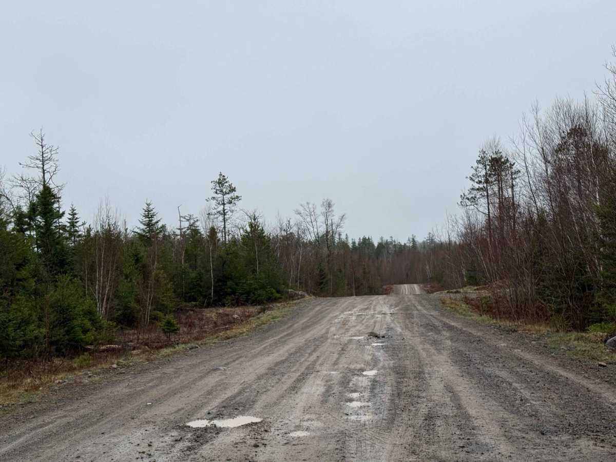
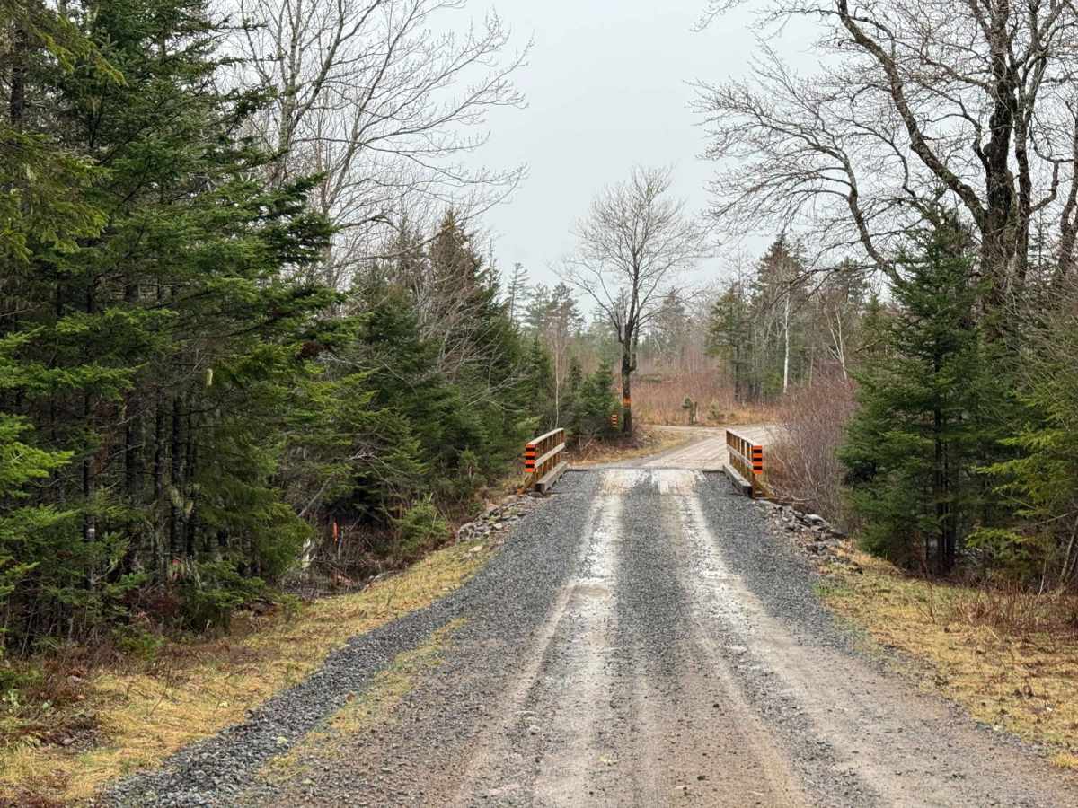
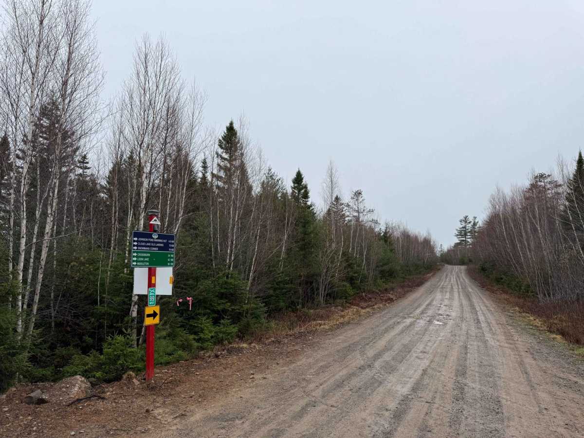
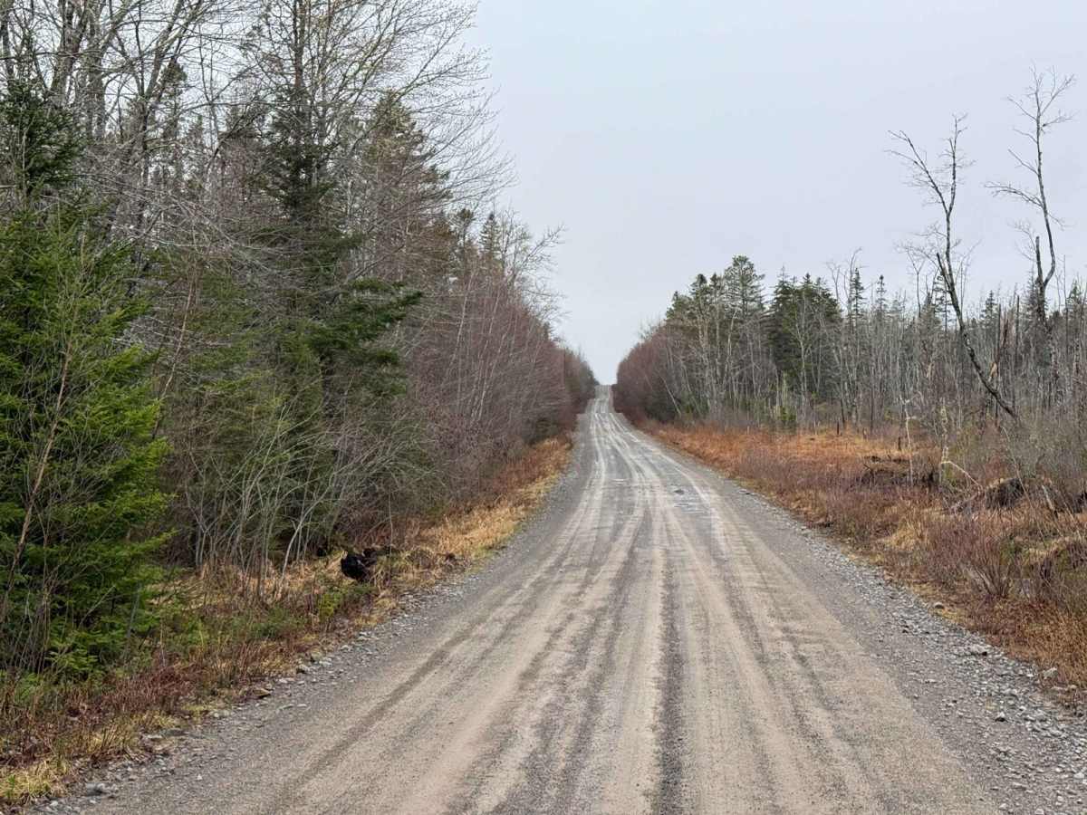
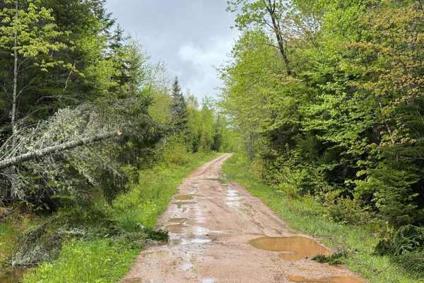
From the east end of Aylesford Road, Route 99 is a mix of hard-packed dirt and gravel. Initially composed of old logging roads, the east and west ends were connected to extend Route 99 from Aylesford Road to the Cloud Lake Wilderness Area. This extension resulted in a straight, wide gravel road suitable for high-speed off-road driving . Be cautious of loose gravel, dust, and possible washouts. Although the trail is broad, remain vigilant for oncoming traffic around blind corners and crests.

Photos of Route 99

Difficulty

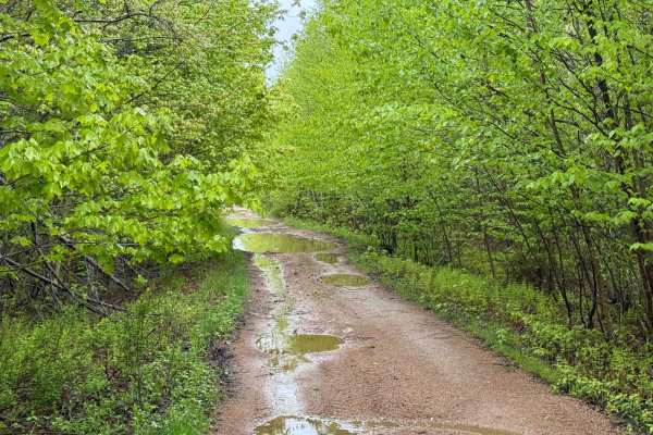
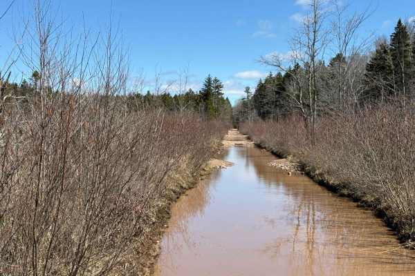
Potential for washouts and loose gravel.

History

Route 99 consists of segments of old private land access roads, old logging roads, turned into a modern forest service road for the Cloud Lake Wilderness area and the surrounding crown land.

Technical Rating

1

Route 99 Trail can be accessed by the following ride types:

  • Single Track
  • 50 Inch
  • 60 Inch
  • High Clearance
  • Full Width

Route 99 Map

The onX Offroad Difference

onX Offroad combines trail photos, descriptions, difficulty ratings, width restrictions, seasonality, and more in a user-friendly interface. Available on all devices, with offline access and full compatibility with CarPlay and Android Auto. Discover what you're missing today!

Open Trail Map