Trail Overview
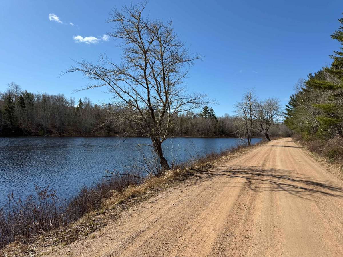
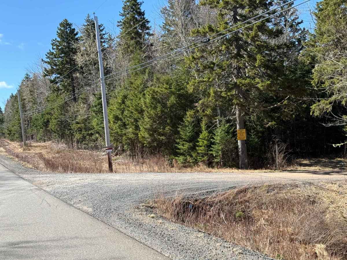
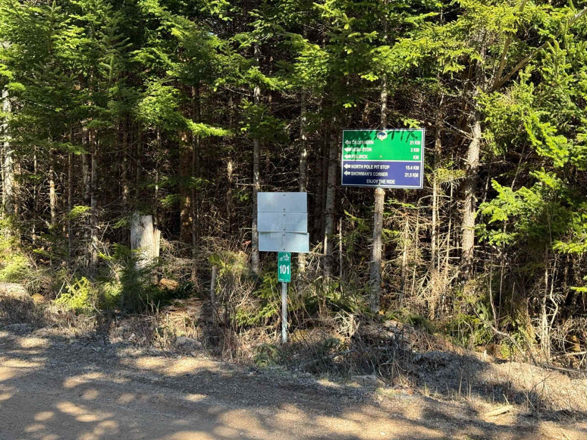
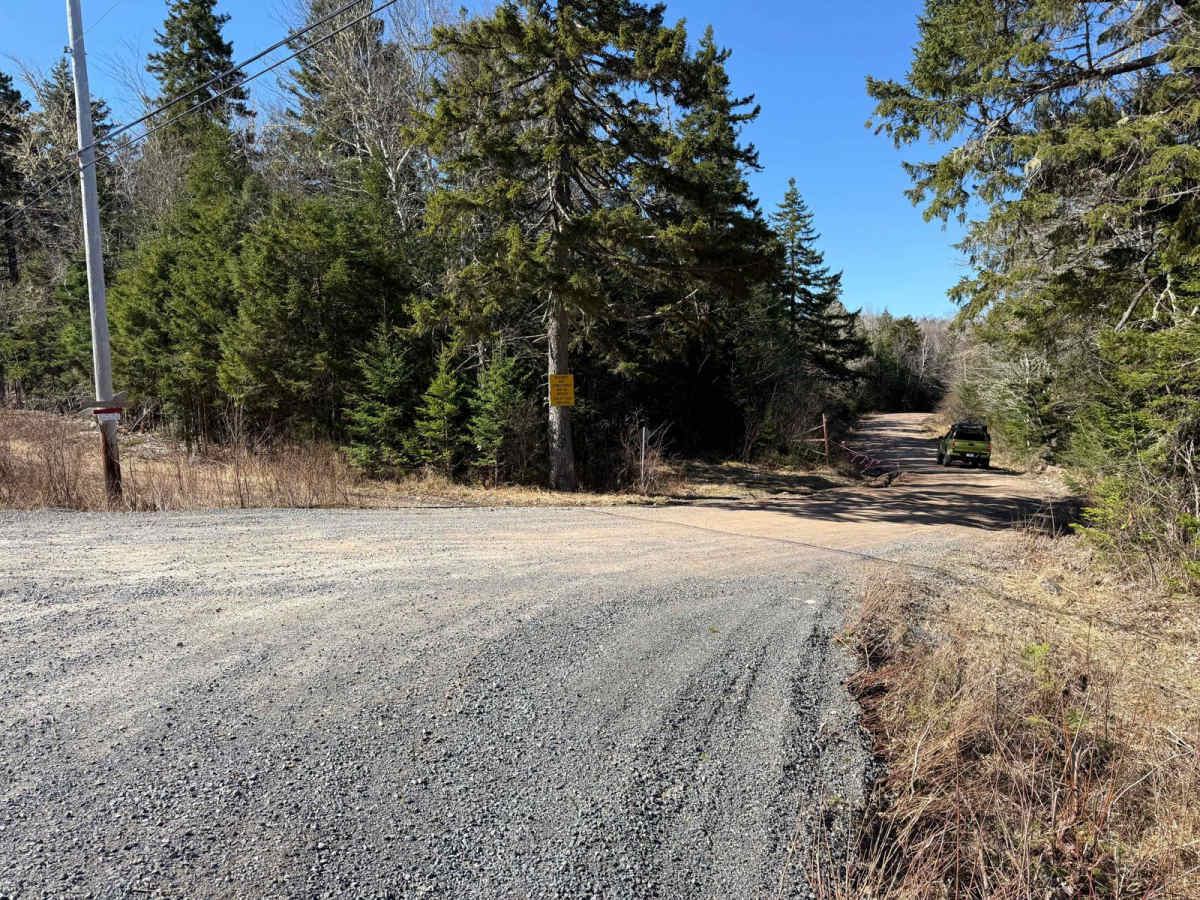
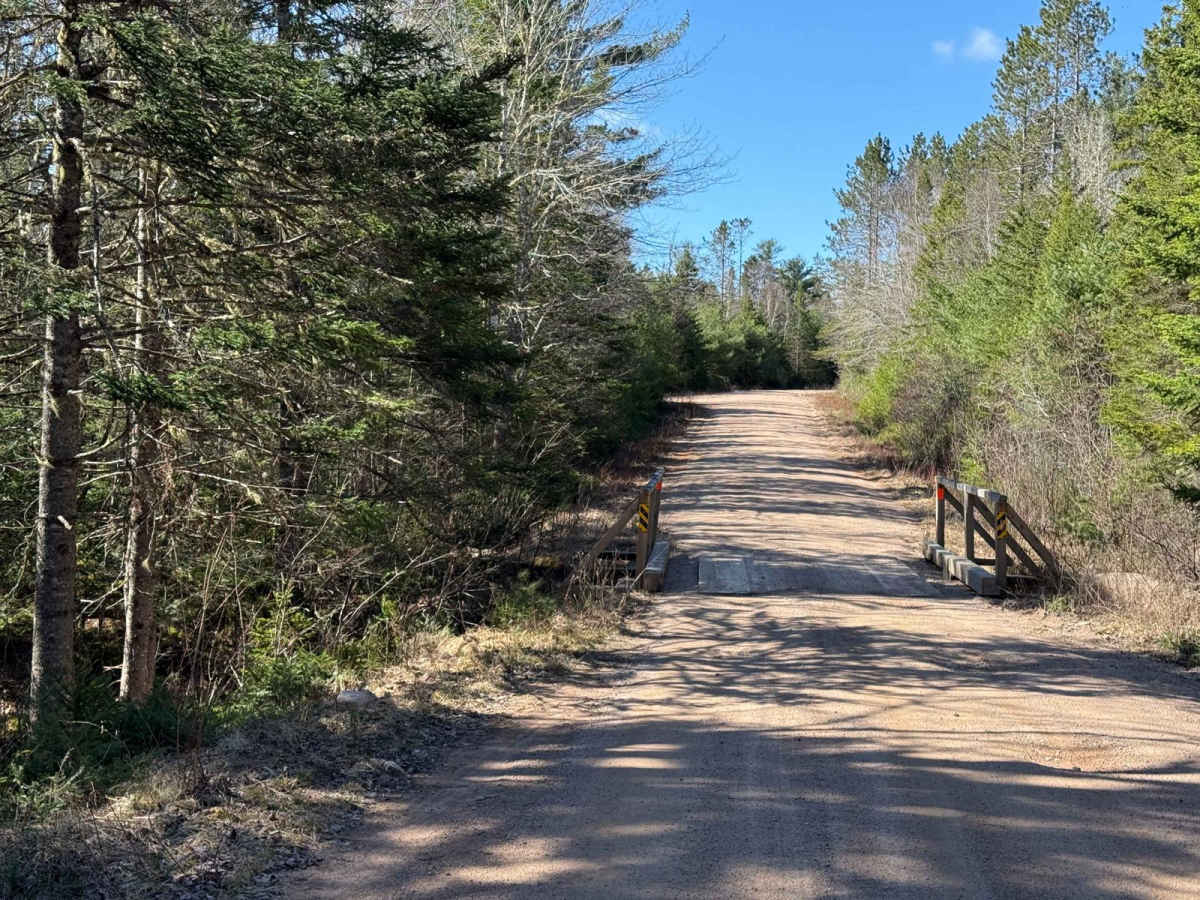
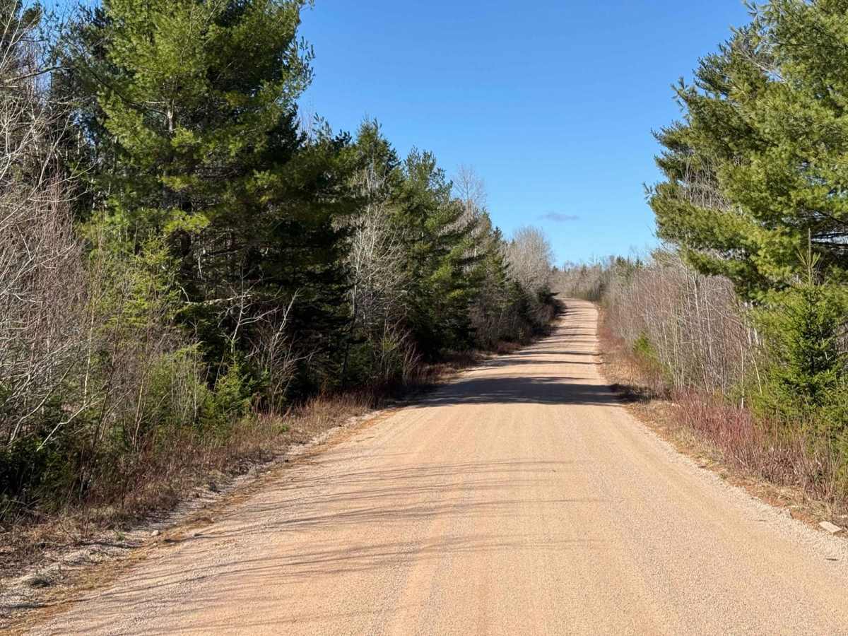
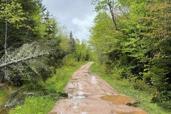
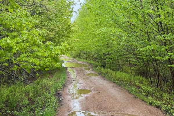
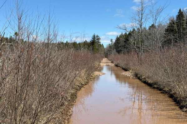
Fire Road is a 20-kilometre stretch of mostly two-lane, high-speed gravel road. While generally smooth, the trail can be quite dusty and may have small washouts in spots, so caution is advised. The road is part of the ATVANS Route 101, providing access to numerous trails within the system. It also partially overlaps with the historic Springfield rail bed. Along the way, you'll enjoy scenic views of several beautiful lakes, making it a great route for nature enthusiasts.
History
Fire Road follows part of the former Springfield Railway, a logging railway operated by the Davison Lumber Company in the early 20th century. Constructed in 1905, the railway expanded to cover more than 105 kilometres, connecting 325,000 acres of company-owned woodland. A section of Fire Road, from Lake Paul to Chain Lakes, is made up of this old rail bed, providing a glimpse into the area's logging heritage. The railway was eventually abandoned as the timber industry declined, but today the repurposed rail bed offers a scenic route through Nova Scotia's wilderness.