Trail Overview
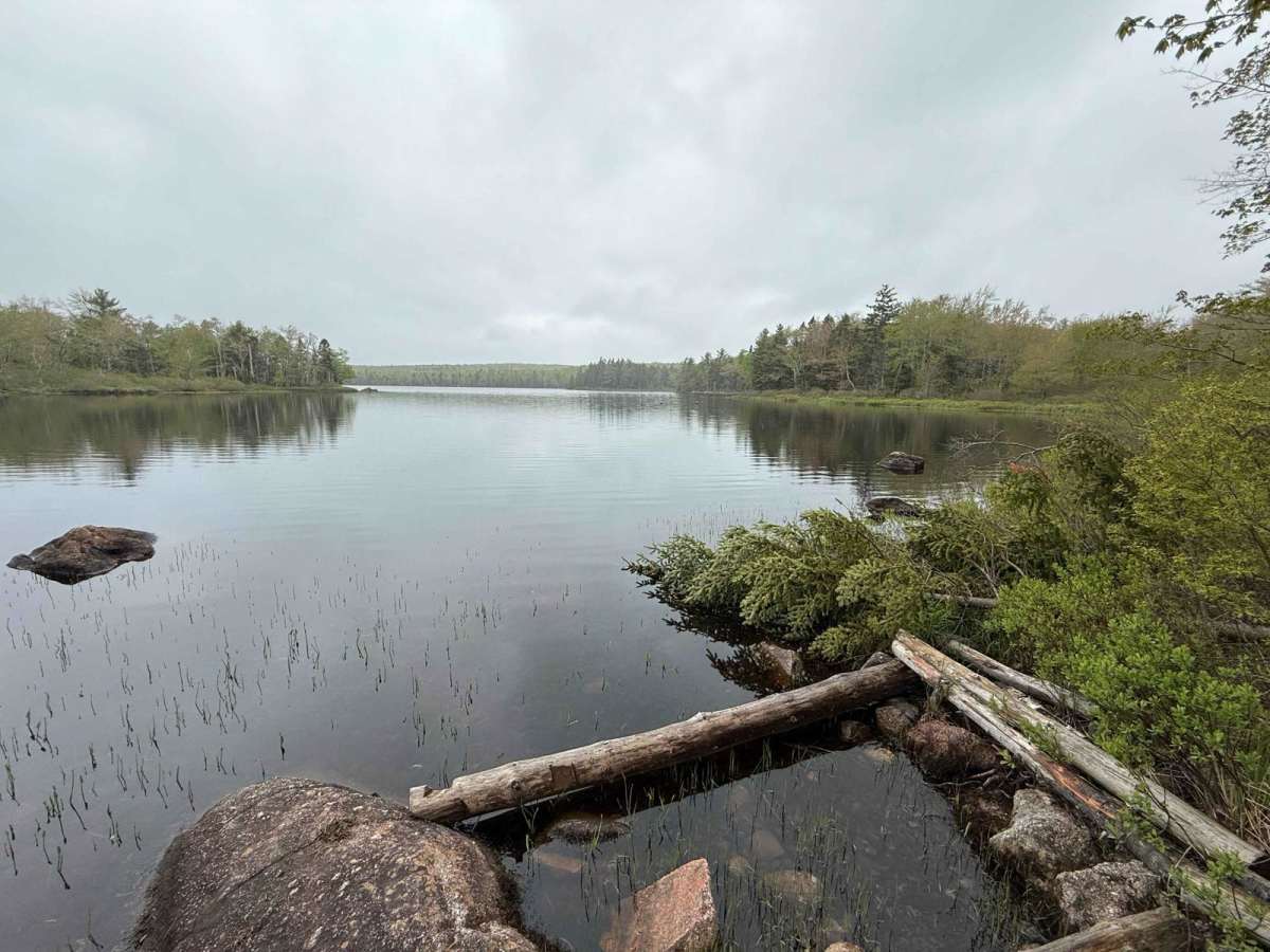
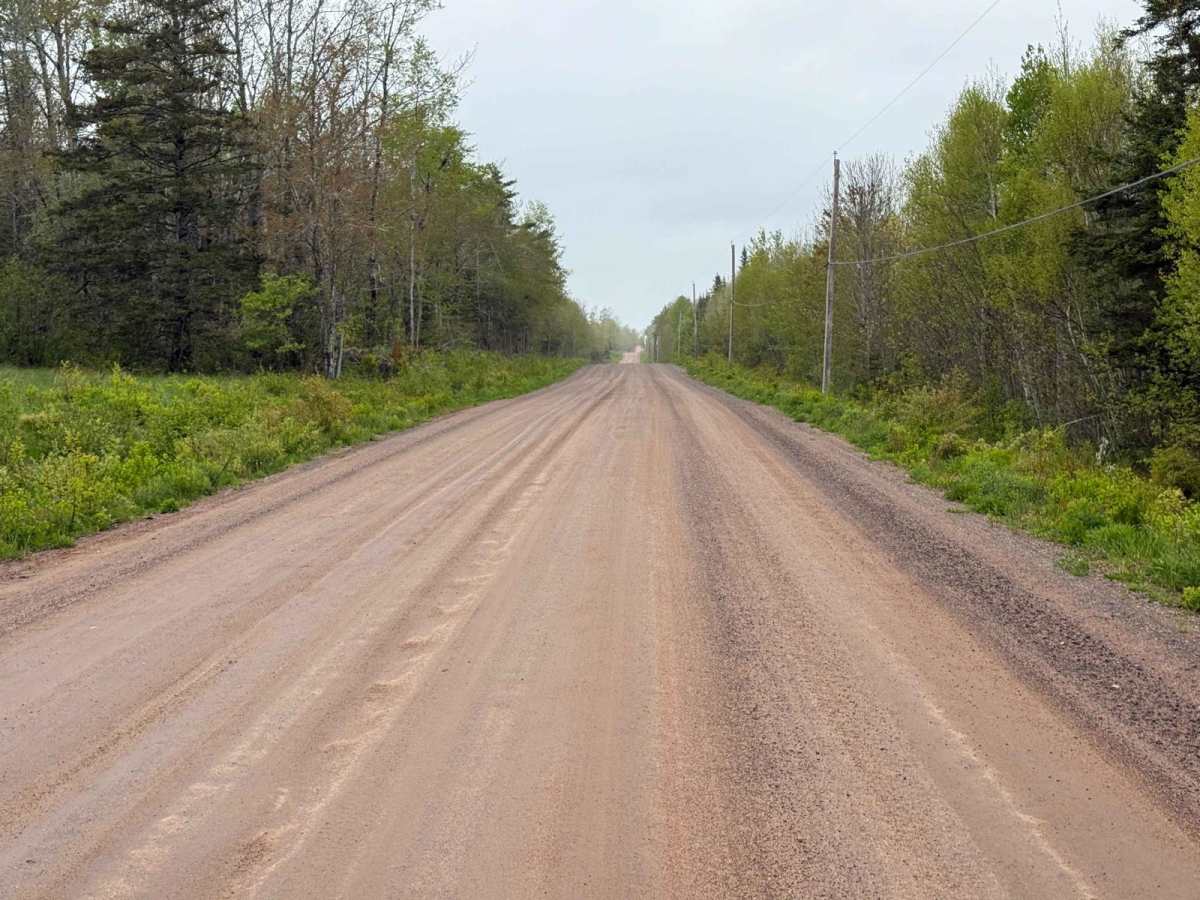
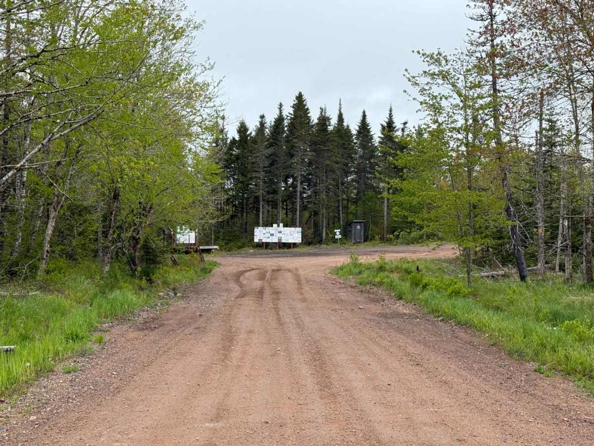
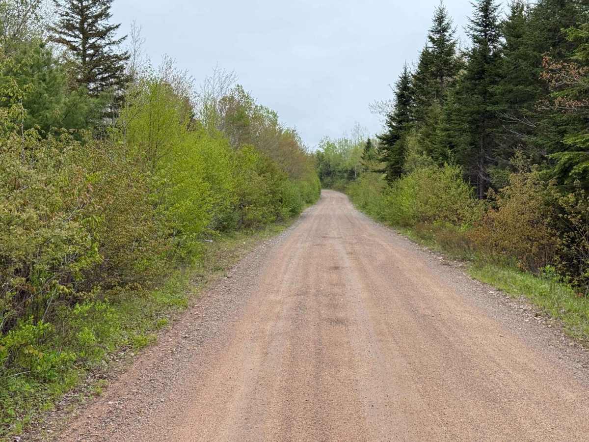
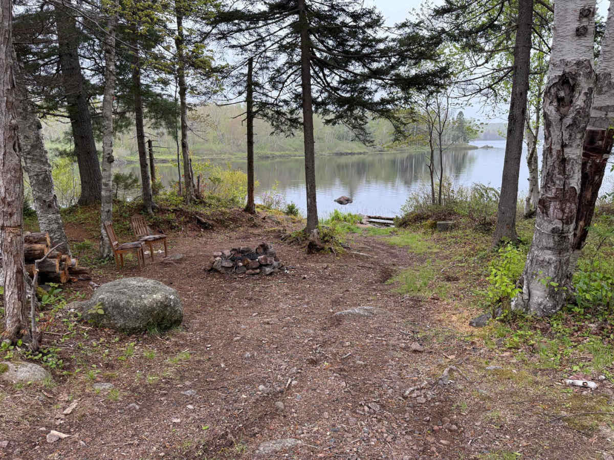
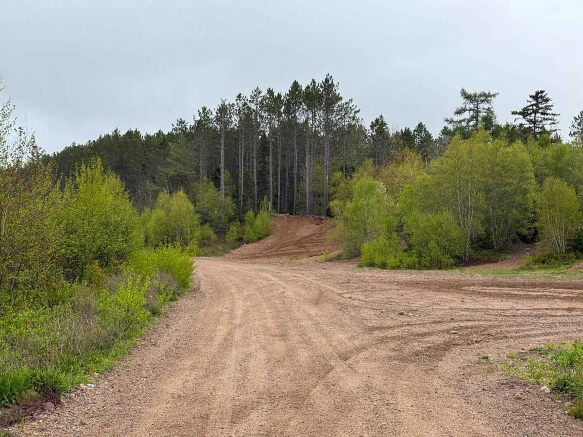
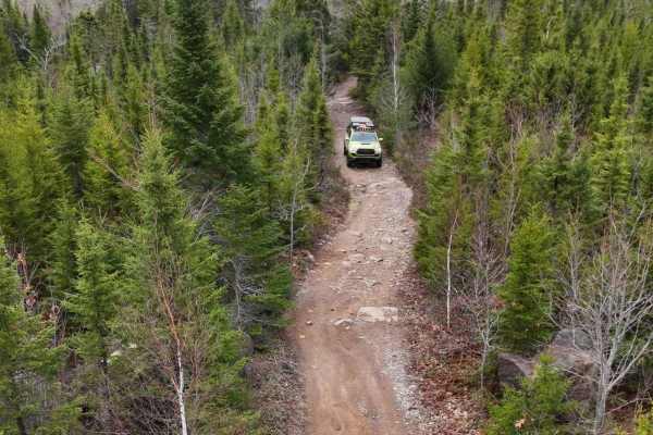
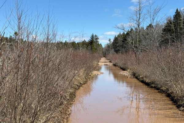
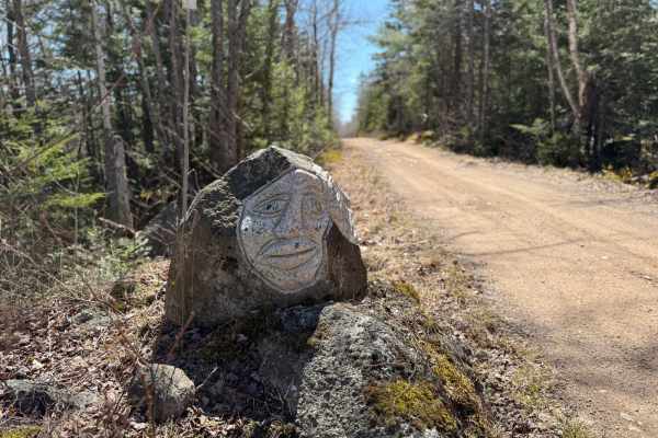
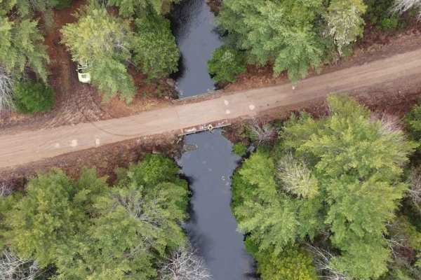
Alton Road is a wide, well-maintained, hard-packed dirt trail that is perfect for fast travel and easy navigation. The surface has very few potholes or washouts, making it suitable for all levels of riders. This route runs through scenic forested areas, connecting East Dalhousie to the Cloud Lake Wilderness Area, with access to numerous lakes and networked trails along the way.
Difficulty
This trail is straightforward and easy, with no technical challenges to note. Riders should expect dusty conditions, especially in dry weather, but the overall ride is smooth and accessible.
History
Alton Road passes through an area rich in history, with connections to the Springfield Railway, built by the Davison Lumber Company in the early 1900s. Crossburn served as the railway's headquarters, featuring facilities like a roundhouse and machine shop. The railway, which extended nearly 29 miles with several branches, operated until the company's liquidation in 1920, and by 1922, the tracks were removed.