Wolf Creek Trail

Total Miles4.4
Technical Rating
2Easy
Best TimeSpring, Summer, Fall
Trail TypeFull-Width Road
Accessible By
Open Trail Map

Trail Overview

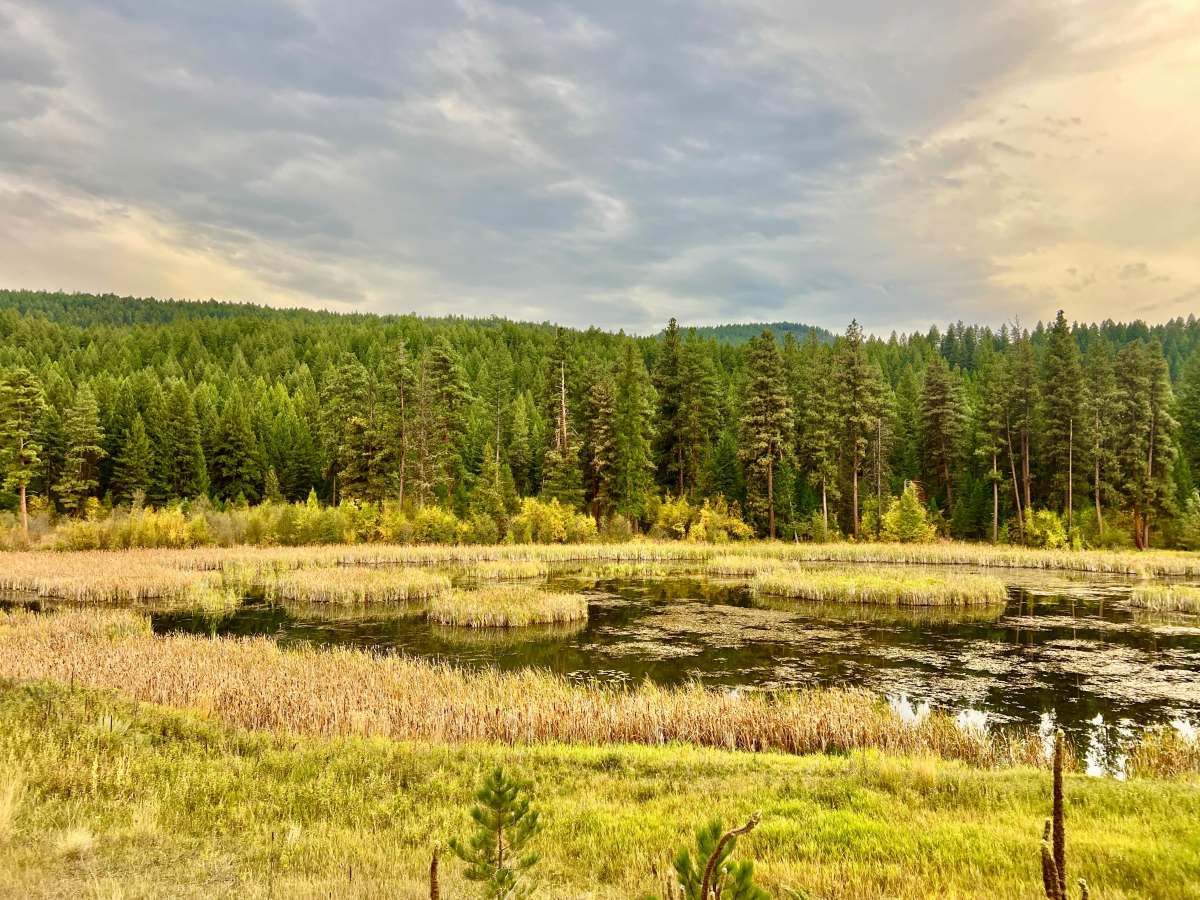
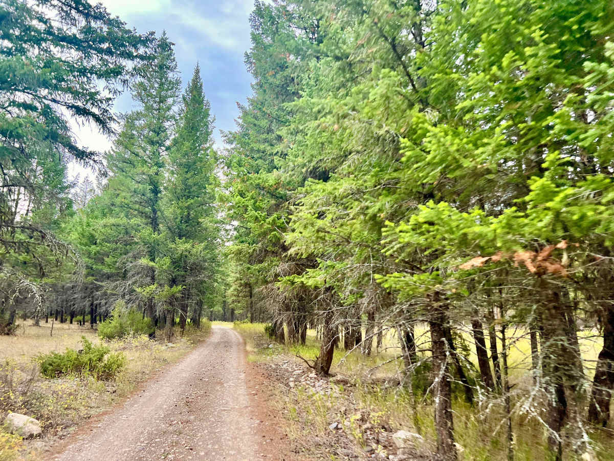
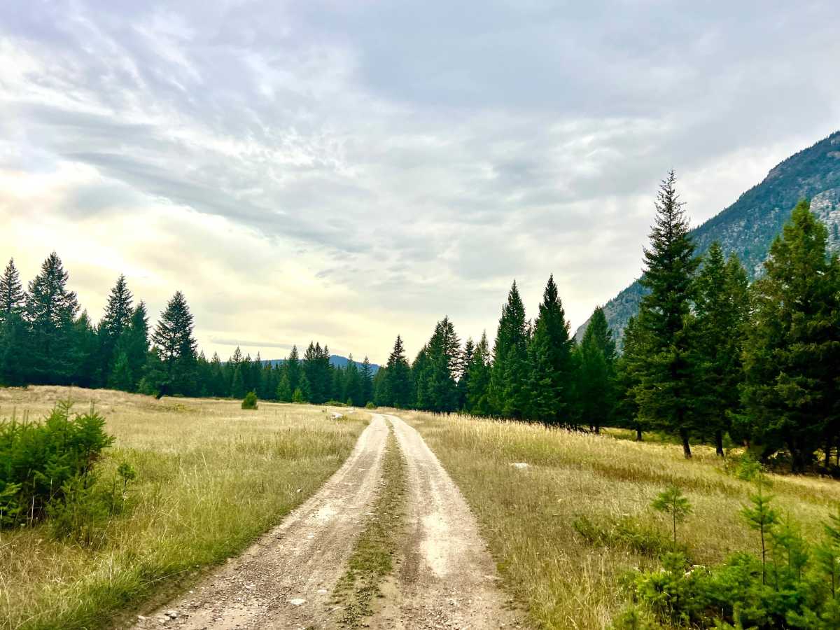
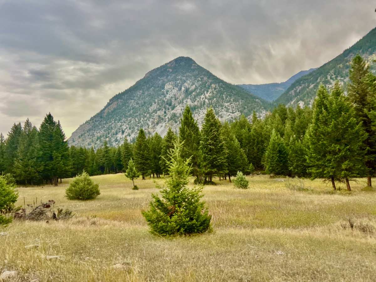
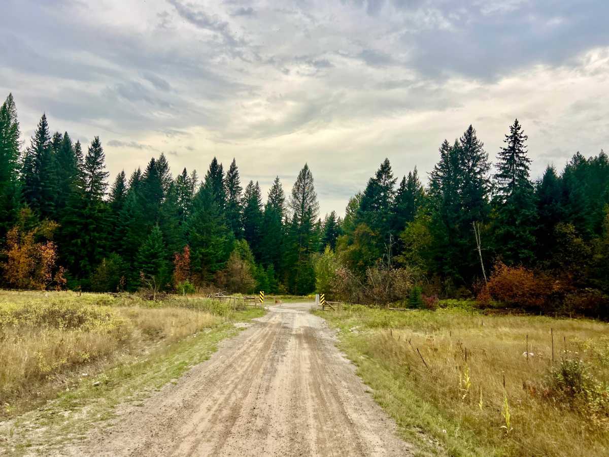
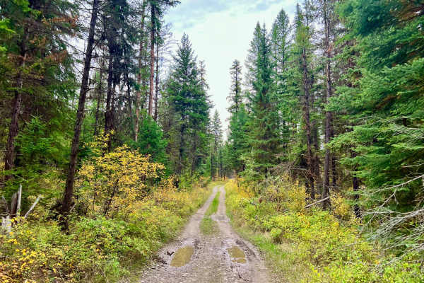
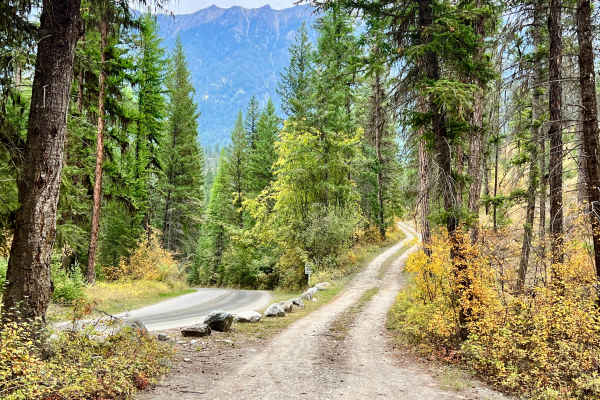
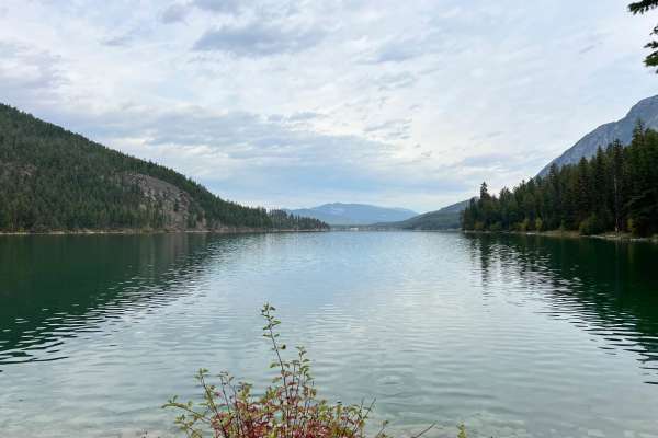
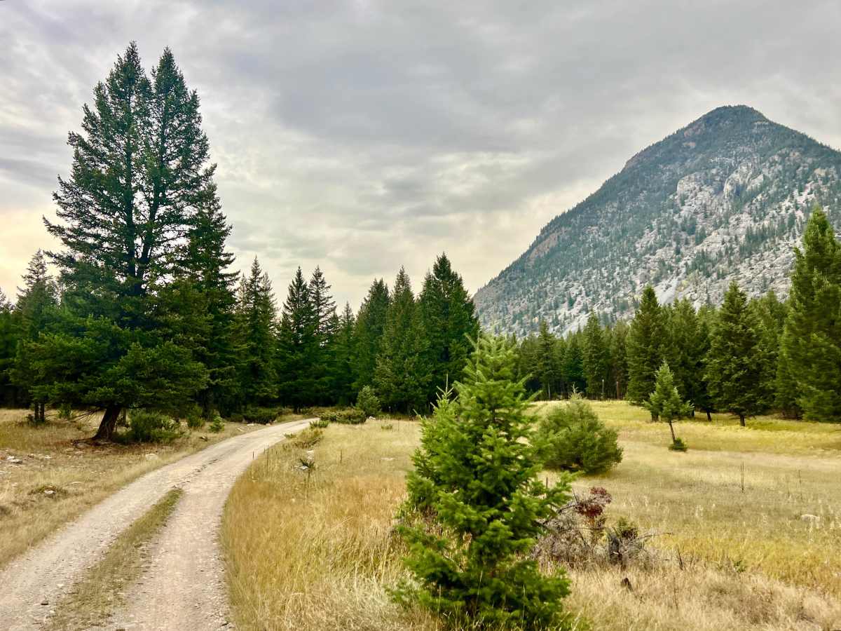
This is mostly a wide, well-graded gravel road and provides an easy connection between the Lazy Lake and Wasa areas. It is also a useful access route for reaching several other trails or taking a quieter dirt-road approach to Lazy Lake from the north. Most of the route is straightforward, though drivers should expect occasional potholes and a cattle guard. Near the southern end, where the trail connects with the Wasa-to-Lazy trail, conditions become noticeably more difficult. This final section is narrow, rocky, rutted, and somewhat deteriorated, with a short, steeper climb to negotiate. This rough portion is why the route is rated 2 overall. Near the western end, the trail passes a pleasant small lake surrounded by lily pads and reeds. Random camping may be available nearby. You can find additional random campsites closer to Lazy Lake. The route passes through private property where recreational access is permitted. Stay strictly on the established trail and respect all posted signs, gates, and property boundaries. Good views of changing autumn foliage. High likelihood of seeing deer, particularly during the fall. Expect no cell service; download offline maps before leaving.

Photos of Wolf Creek Trail

Difficulty

This trail is narrow on the southern end, with some ruts and possibly muddy sections. The rest of the trail is wide and well-maintained.

Technical Rating

2

Wolf Creek Trail Trail can be accessed by the following ride types:

  • Single Track
  • 50 Inch
  • 60 Inch
  • High Clearance
  • Full Width

Wolf Creek Trail Map

The onX Offroad Difference

onX Offroad combines trail photos, descriptions, difficulty ratings, width restrictions, seasonality, and more in a user-friendly interface. Available on all devices, with offline access and full compatibility with CarPlay and Android Auto. Discover what you're missing today!

Open Trail Map