Trail Overview
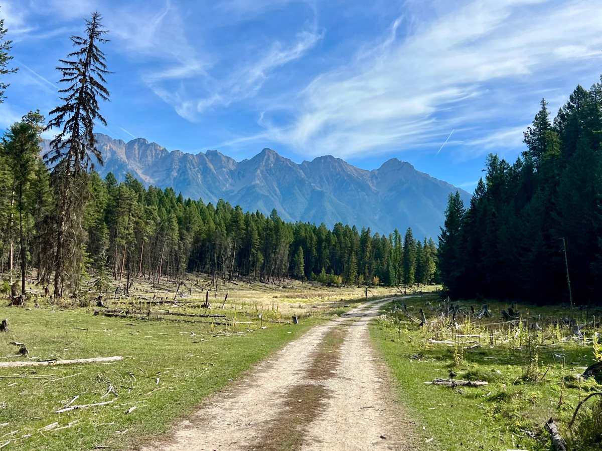
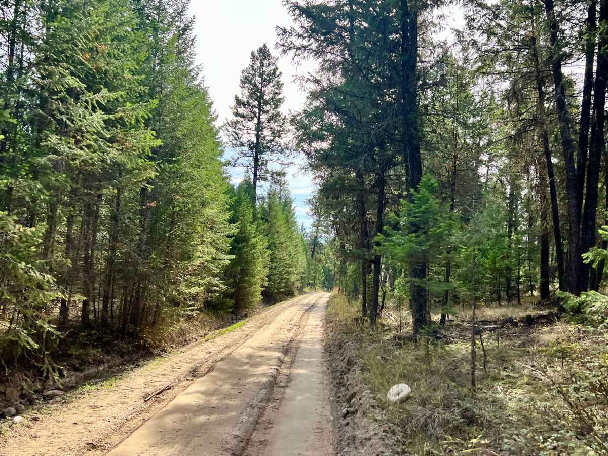
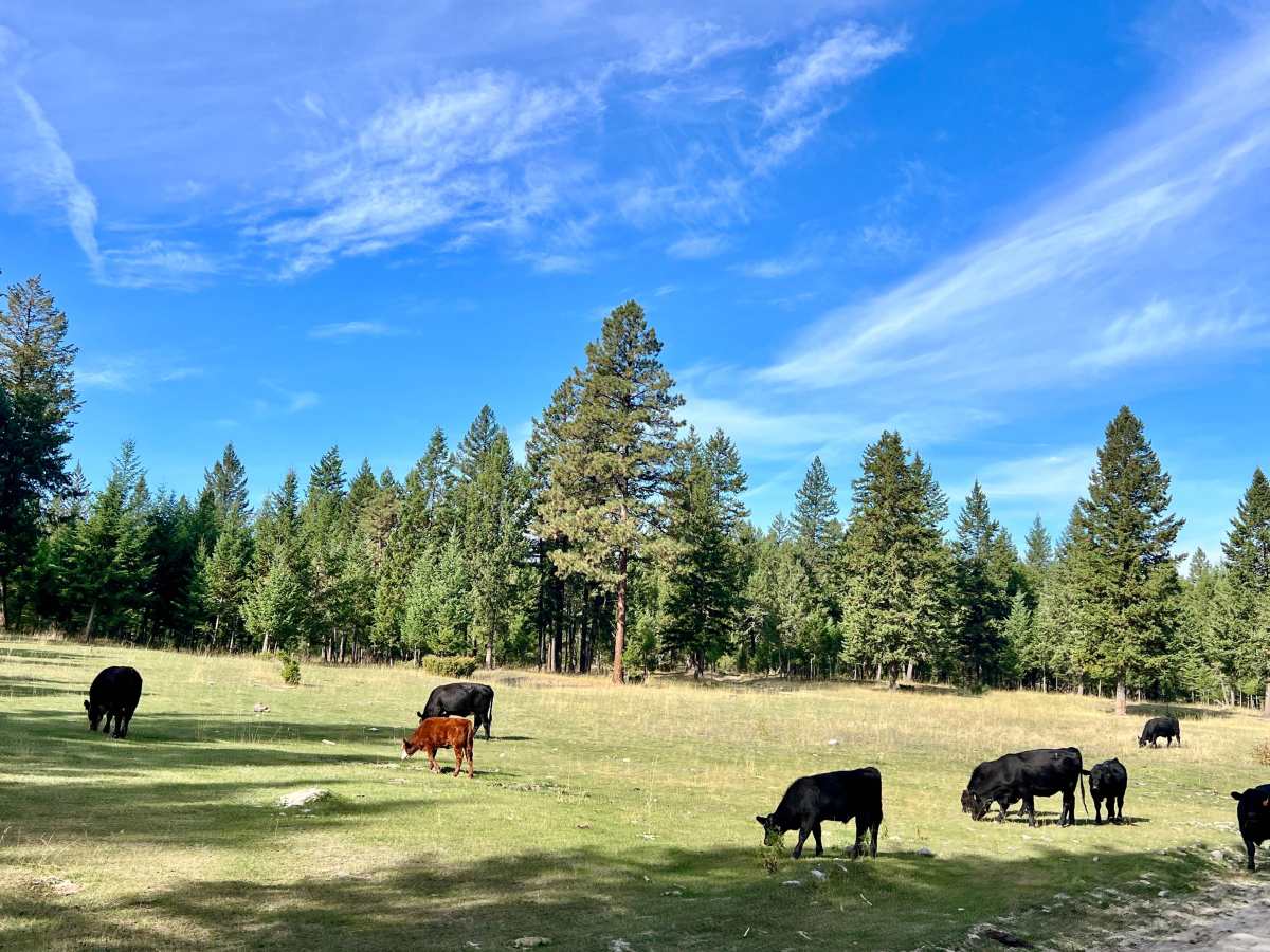
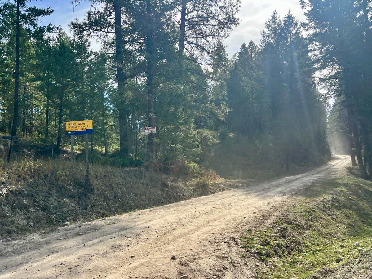
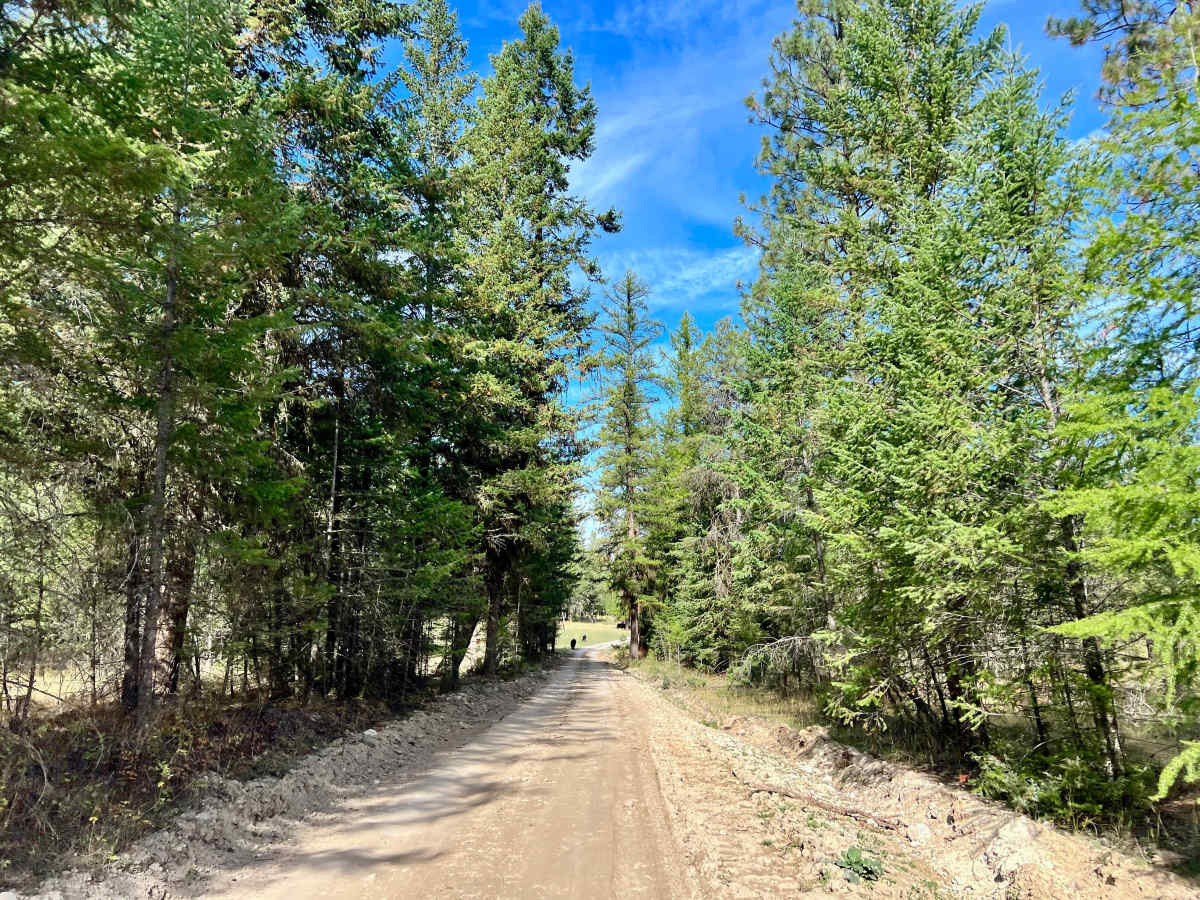
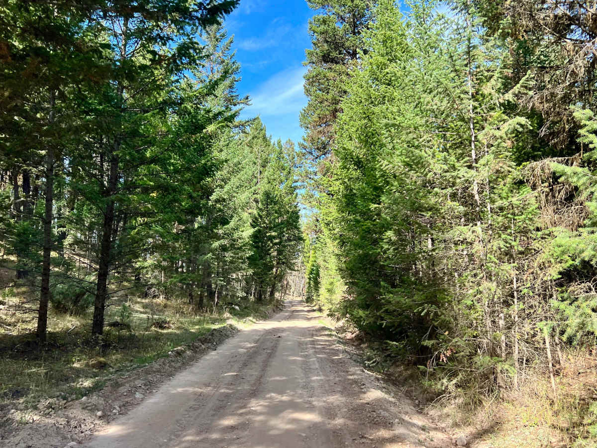
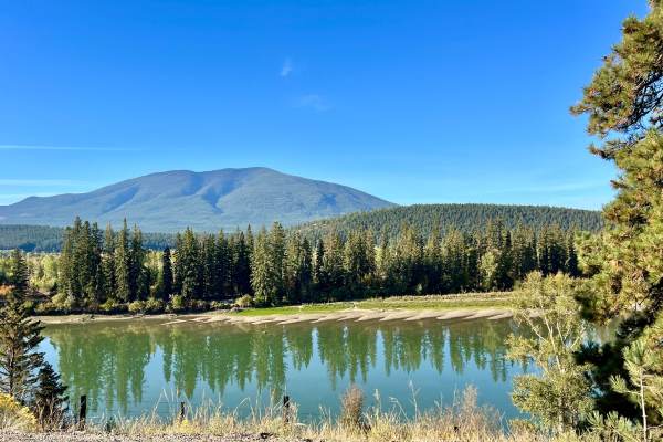
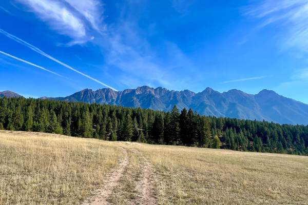
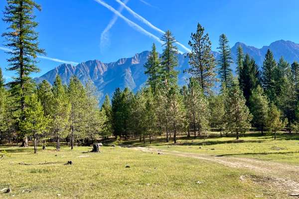
This Forest Service Road runs through the heart of the local Fort Steele OHV area, making it an excellent cross-area route to reach deeper sections of the trail network. The road passes through dense pine forest, forestry clearcuts, open meadows, and cattle-range country. The route is generally easy but noticeably rutted and bumpy. Drivers will spend much of the trip choosing the best line around uneven surfaces, mud holes, and deteriorating road sections. These areas may require careful navigation and can become difficult or impossible to pass when the trail is wet. Picture Valley FSR is marked as a logging road at both ends. Logging and forestry activity may be present, so users must watch carefully for heavy equipment and industrial vehicles, which may be traveling quickly on the road. Numerous side trails branch off this main route, creating opportunities for further OHV exploration. The road also passes along the edge of Alkaline Lake, a popular watering area for local cattle. Because the route crosses open range, cattle may be present on or beside the trail. Limited cell service, approximately two bars in some areas.
Difficulty
A standard SUV, truck, or capable high-clearance vehicle should be suitable in dry conditions. Four-wheel drive or all-wheel drive is recommended when the road is muddy or heavily rutted. After an early-spring storm or major wind event, fallen trees may block portions of the road. Clearing may be required before the route is passable.

 Offroad