Norbury Lake Forest Service Road

Total Miles1.9
Technical Rating
2Easy
Best TimeSpring, Summer, Fall
Trail TypeFull-Width Road
Accessible By
Open Trail Map

Trail Overview

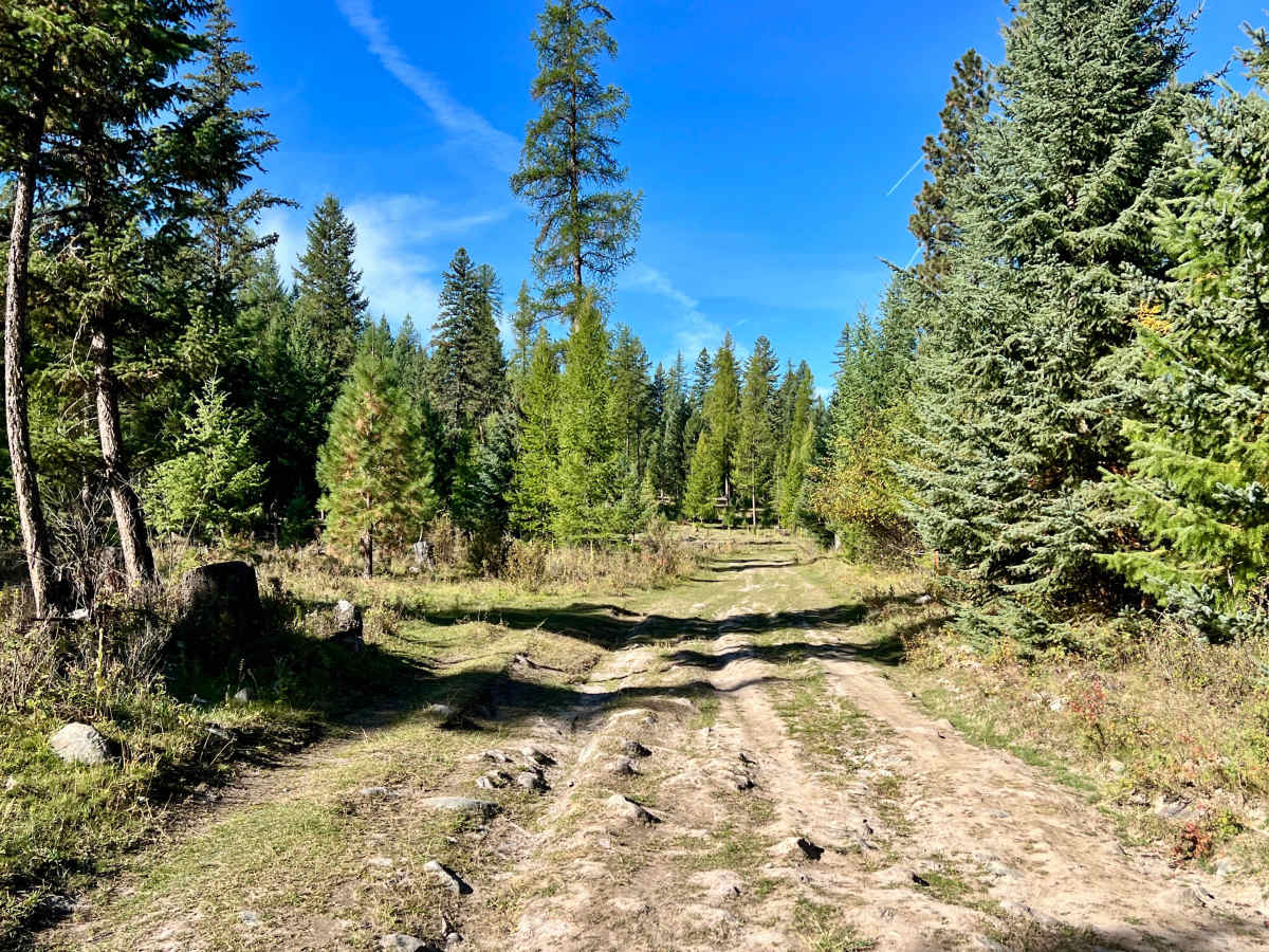
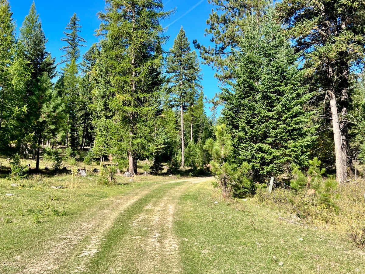
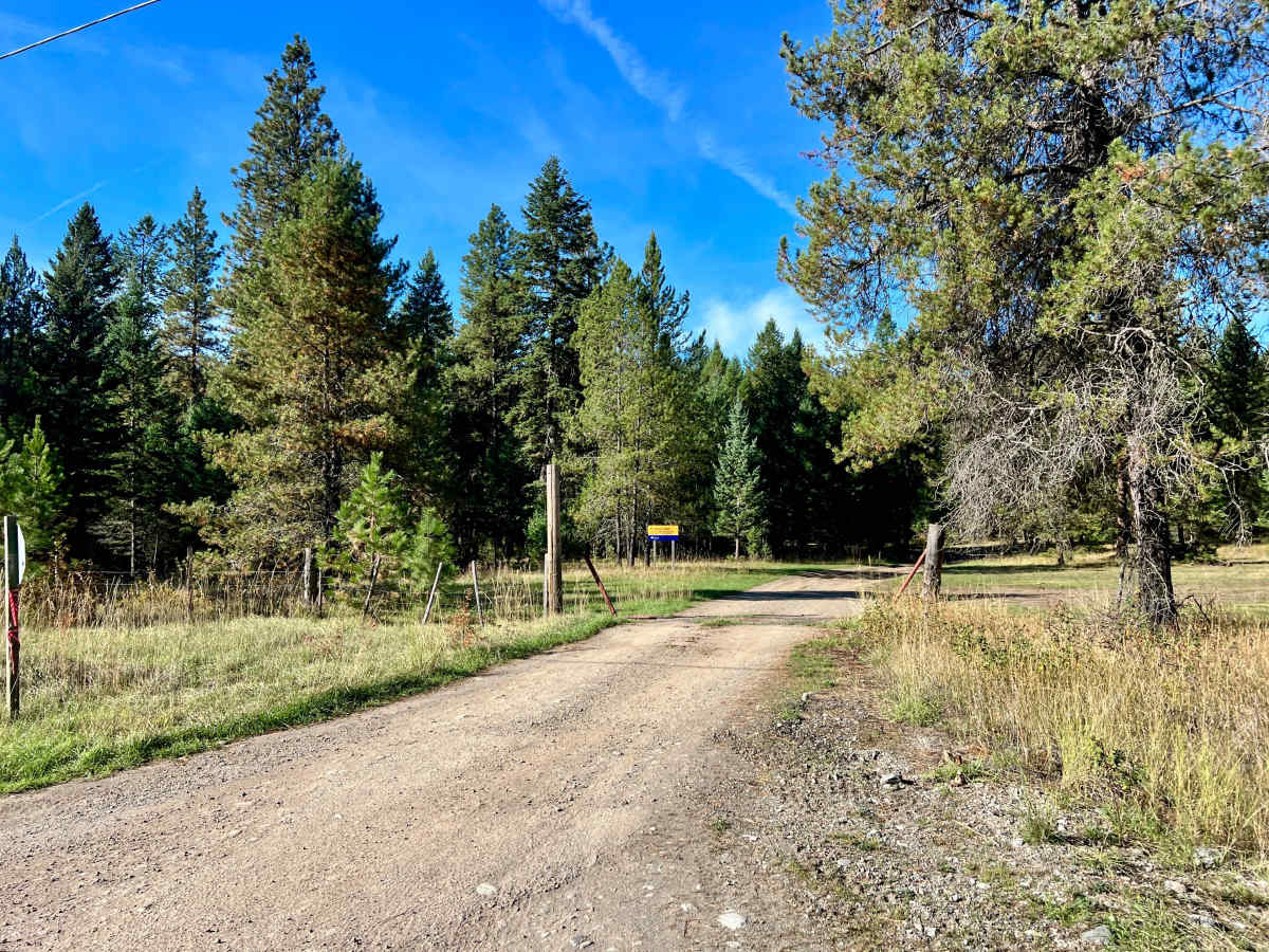
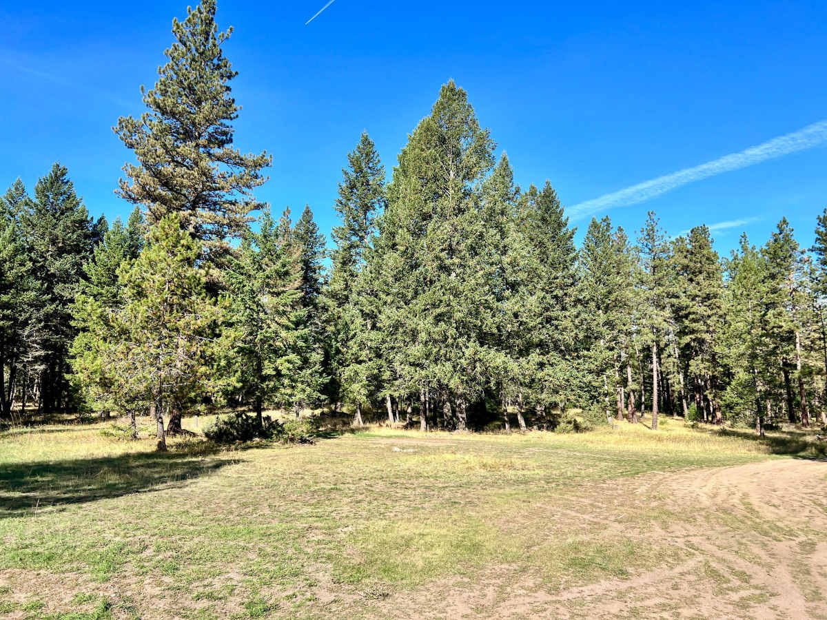
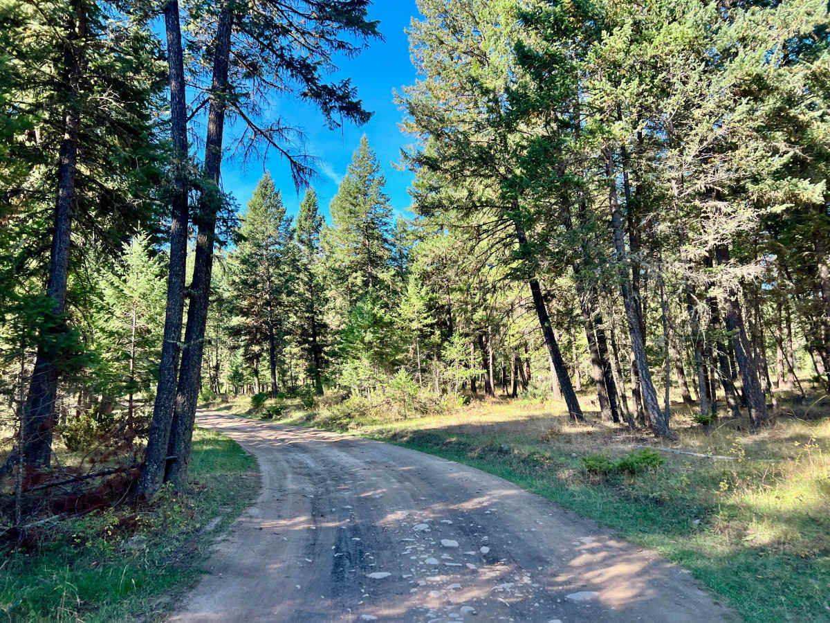
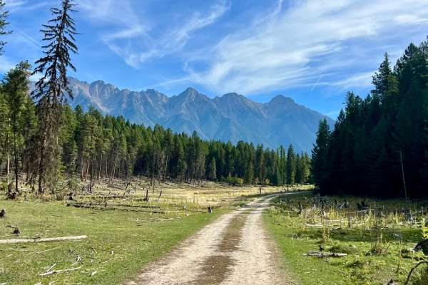
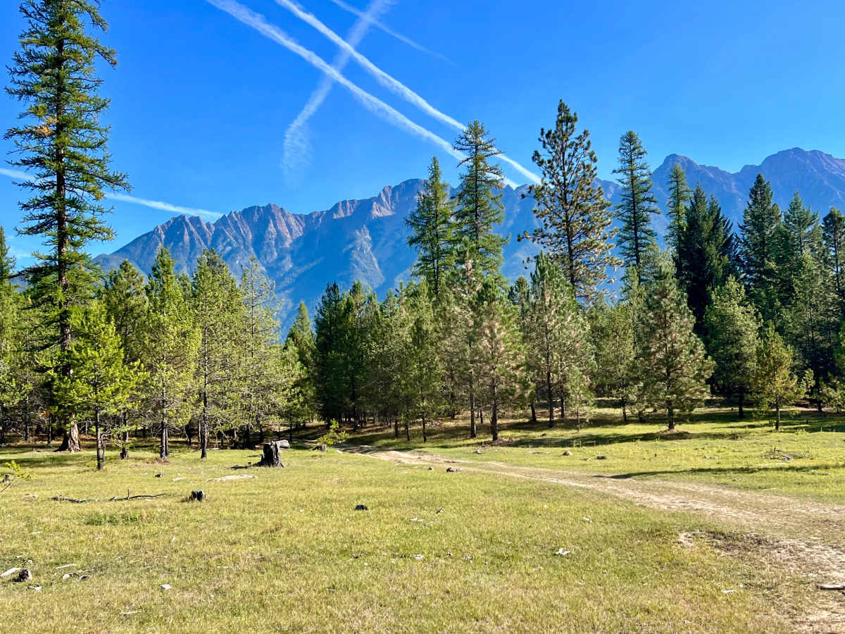
This is a short but rough access route that cuts through the forest toward the Norbury Lake area and the surrounding network of recreational trails. The road is generally bumpy, with numerous small rocky sections, deep ruts, and mud holes. Several portions become particularly difficult when Wet, indicating deep mud and standing water can make some ruts challenging or potentially impossible to pass without suitable clearance, traction, and recovery equipment. Long, uneven stretches of exposed rock also contribute to the route’s moderate difficulty. Along the way, the road passes through grassy meadows and areas with random camping campsites. Numerous small side trails and finger roads provide opportunities to explore farther into the surrounding forest, although users should confirm that each spur is open and permitted for public access. Norbury Lake FSR also connects the highway to the larger trail network in the area. Download offline maps before entering the area; cell service is weak and inconsistent.

Photos of Norbury Lake Forest Service Road

Difficulty

The trail can reasonably be considered a 2 when dry and firm, but a rating of 3 is more appropriate when wet or early in the season, deep mud, significant ruts, mud holes, and extended rocky sections are present.

Technical Rating

2

Norbury Lake Forest Service Road Trail can be accessed by the following ride types:

  • Single Track
  • 50 Inch
  • 60 Inch
  • High Clearance
  • Full Width

Norbury Lake Forest Service Road Map

The onX Offroad Difference

onX Offroad combines trail photos, descriptions, difficulty ratings, width restrictions, seasonality, and more in a user-friendly interface. Available on all devices, with offline access and full compatibility with CarPlay and Android Auto. Discover what you're missing today!

Open Trail Map