Trail Overview
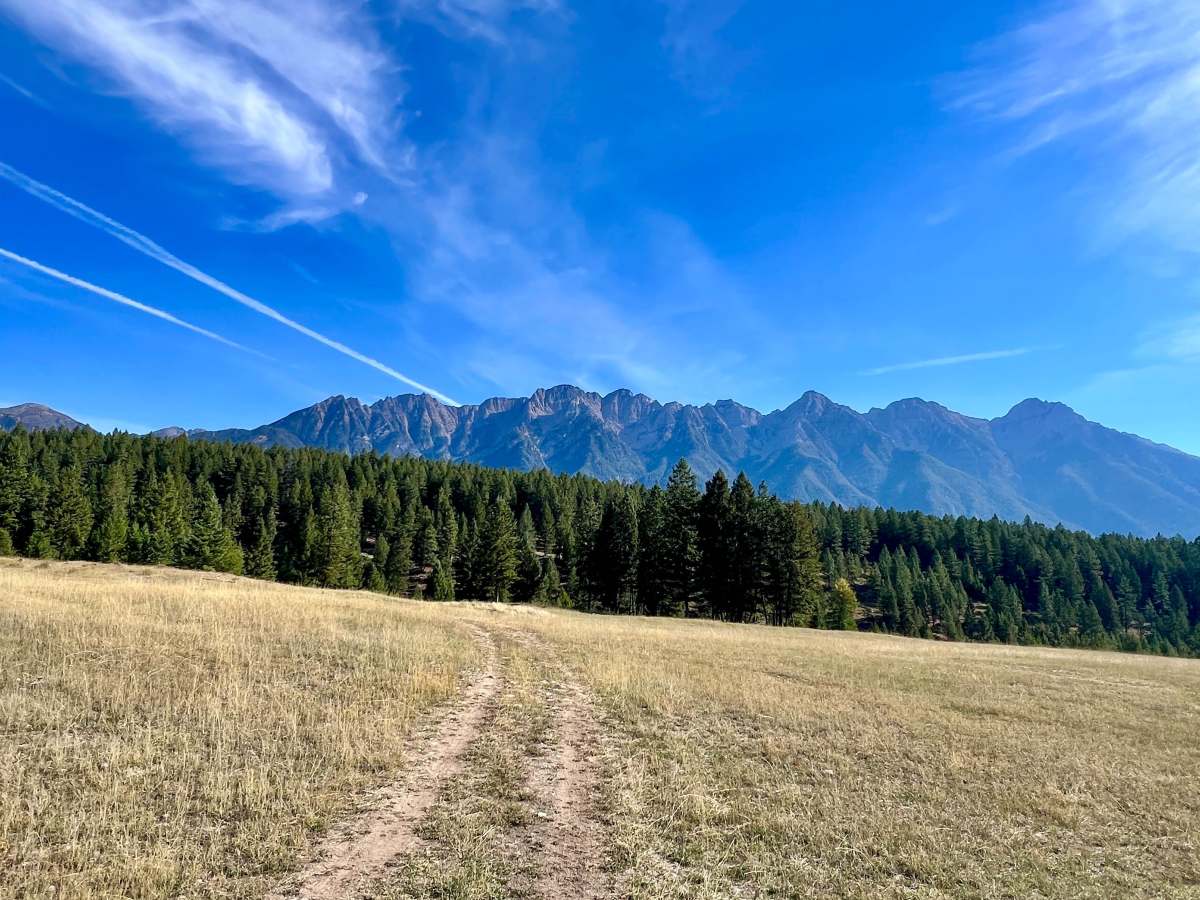
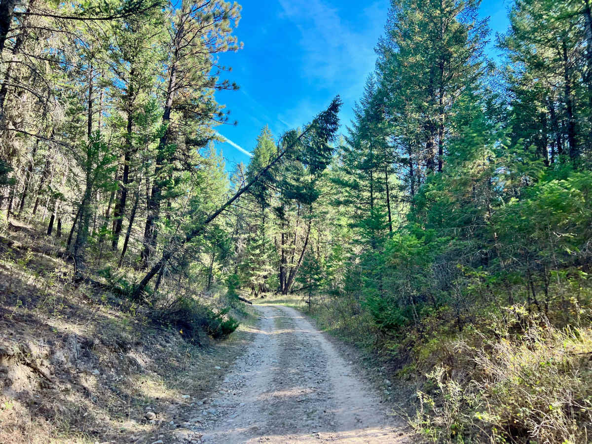
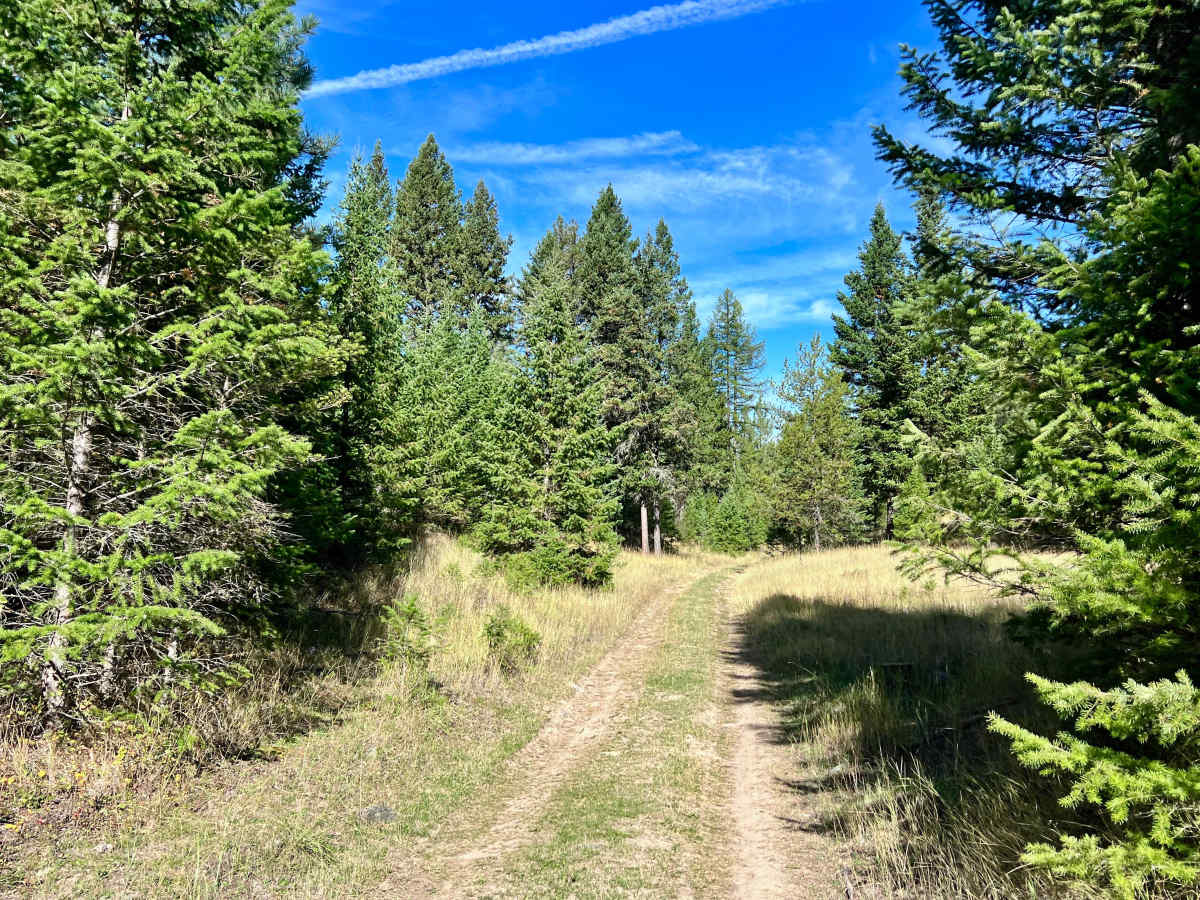
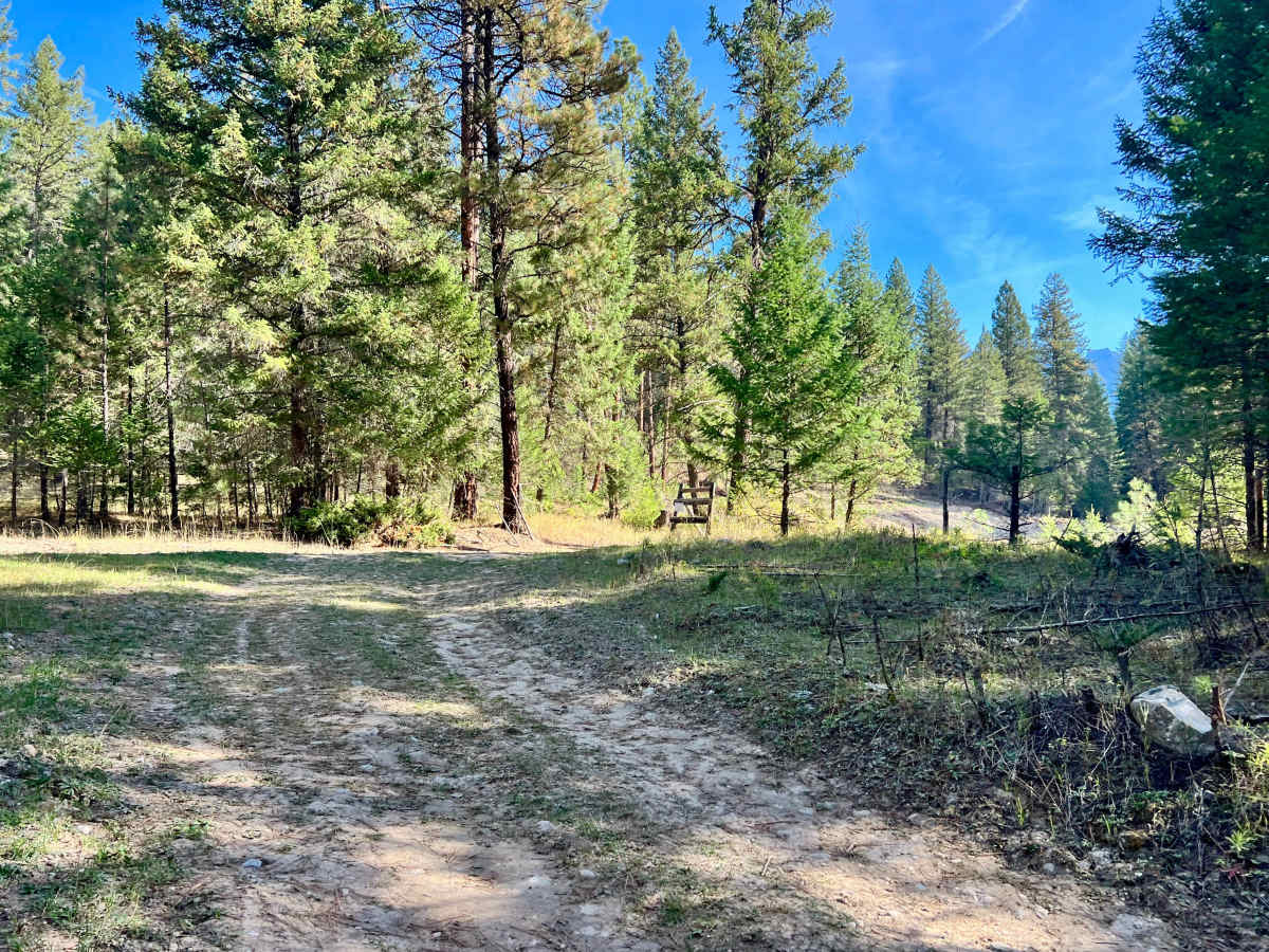
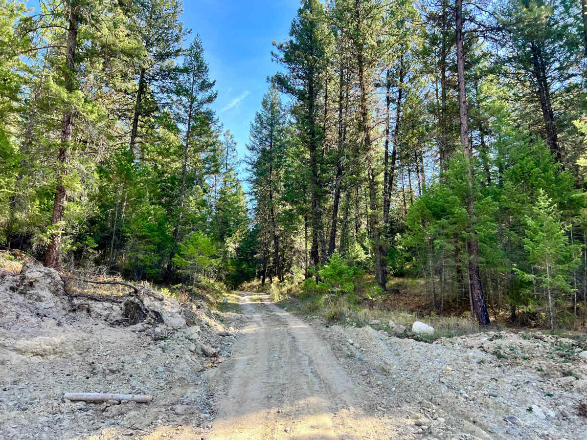
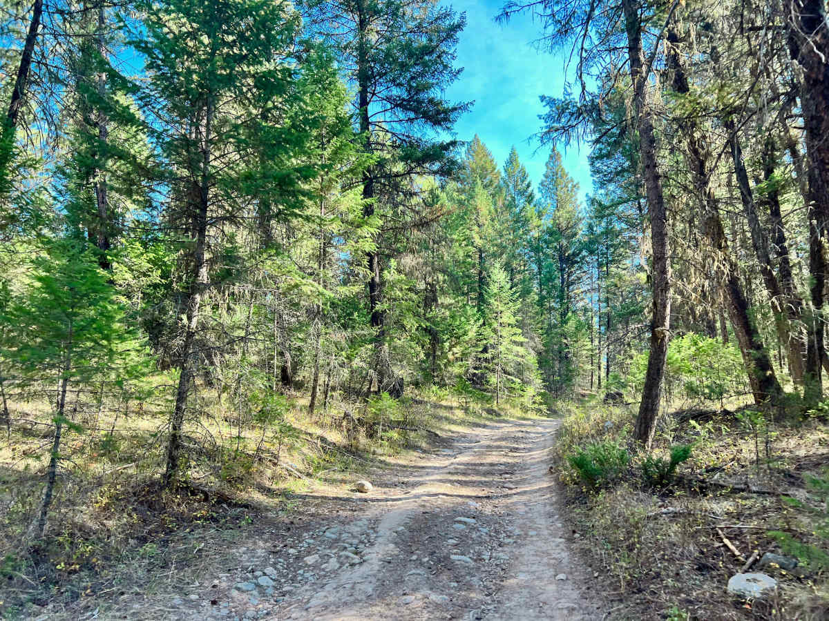
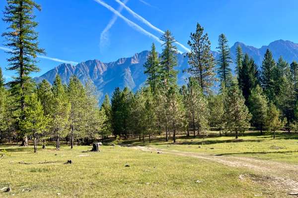
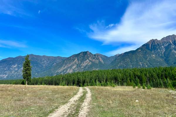
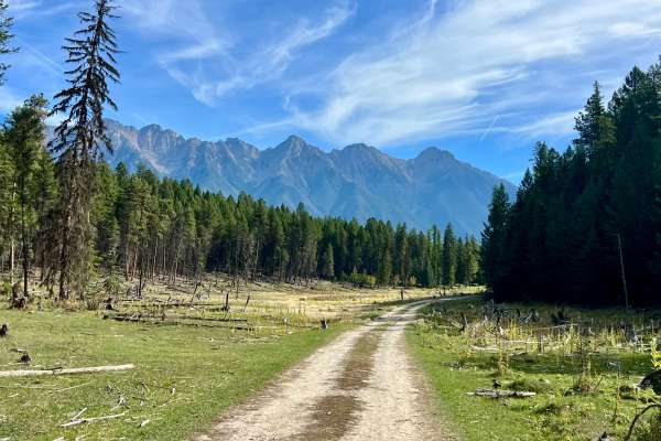
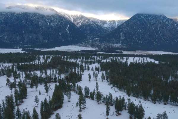
This Loop is a short, scenic route that travels through bright green meadows and denser sections of forest and offers outstanding views of the surrounding mountains. This trail also provides access to the central portion of the Fort Steele recreation area. Most of the route is relatively easy, but some of the rougher sections may become difficult or impassable when wet. The trail surface is generally bumpy, with occasional light ruts. Several flat areas in the meadows may be suitable for dispersed camping where permitted. Campers should use existing sites and avoid damaging vegetation or occupying areas that are not designated or clearly appropriate for camping. You may see wildlife, including deer and elk, moving through the meadows or forest. Download offline maps before starting; cell service is unreliable and may disappear along the loop.