Trail Overview
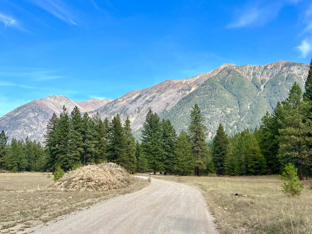
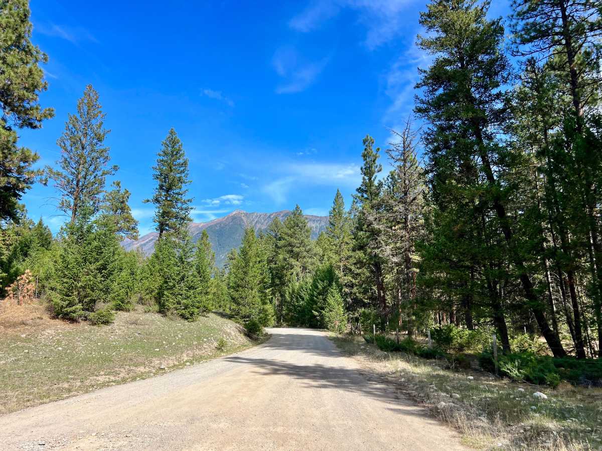
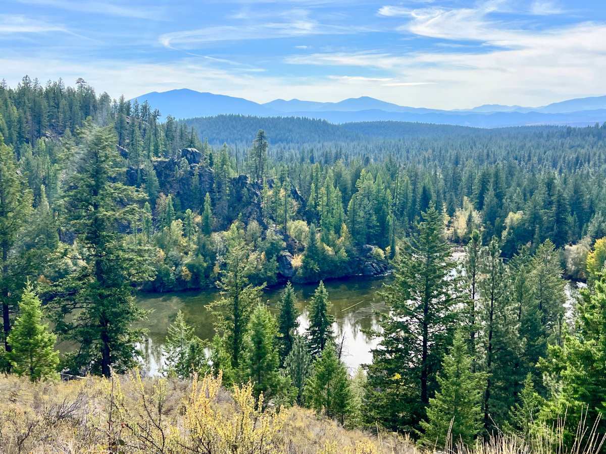
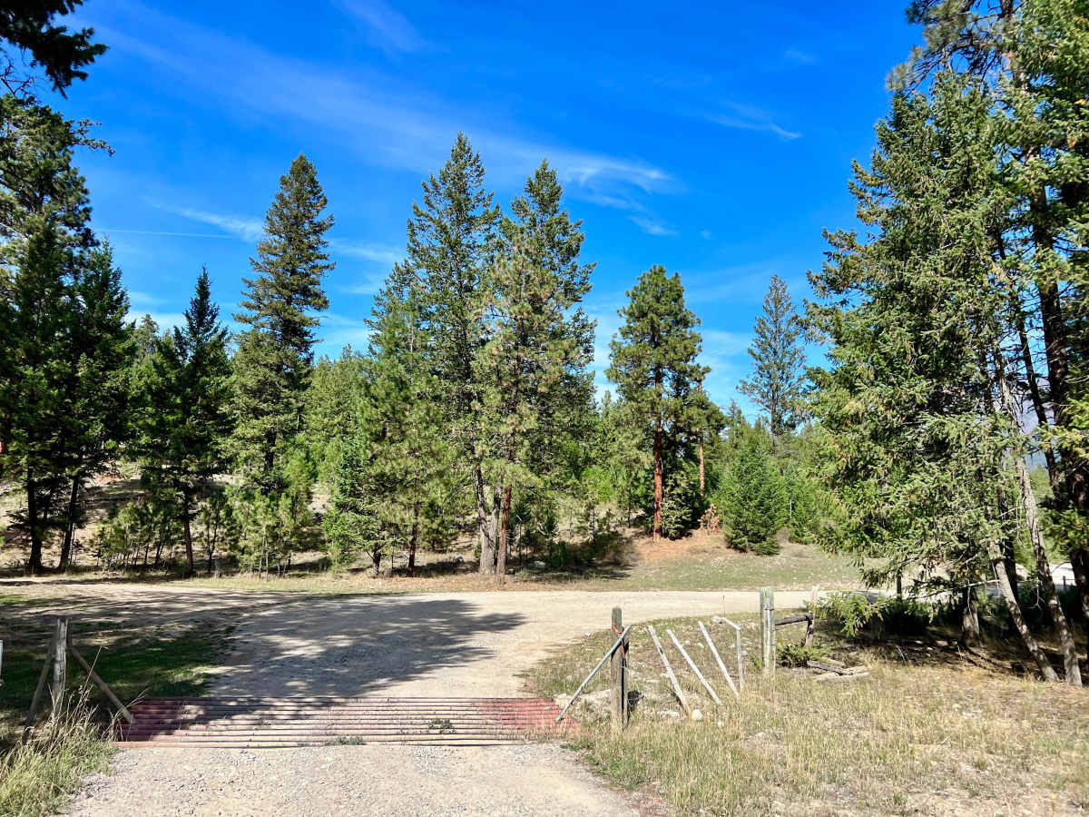
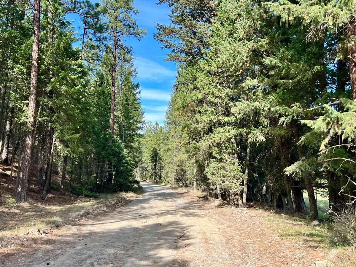
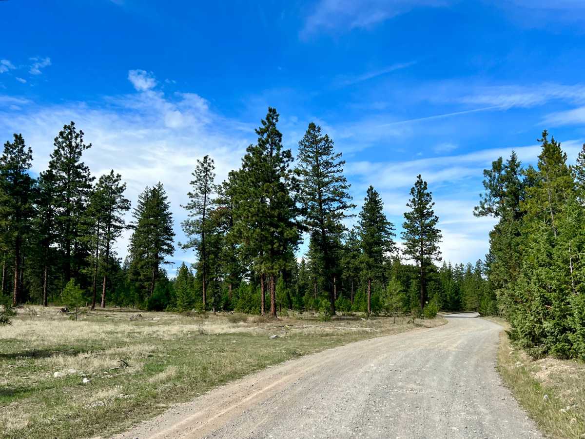
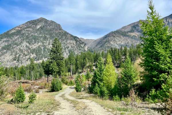
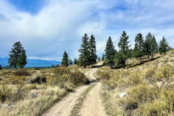
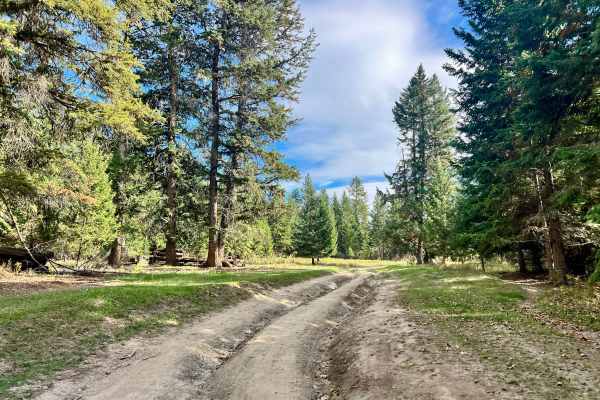
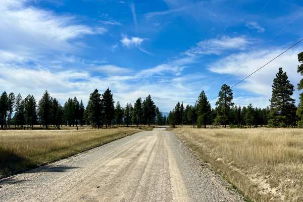
This trail is a narrow, bumpy route with numerous potholes that climbs toward the Lakit Lake Recreation Site and a smaller lake located beyond it. The road passes through forest and a large open meadow, with plentiful random camping opportunities along the way. Several shaded campsites are available beneath the trees. The Lakit Lake Recreation Site is a pleasant destination with a pit toilet, established fire rings, mountain views, and numerous exposed rock features. Continuing beyond the Rec site, the trail makes a light climb and continues toward the second lake. The trail also provides access to several connecting trails and offshoots, making it a useful starting point for further exploration. Unless connecting with the loop trail descending along the opposite side of the canyon, the recreation site is generally the best place to stop. The trail does not take you to the second lake it ends at private property and a locked gate. Cell service is limited and intermittent; approximately one bar.