Trail Overview
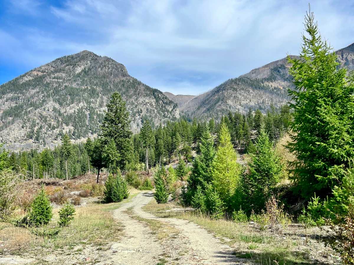
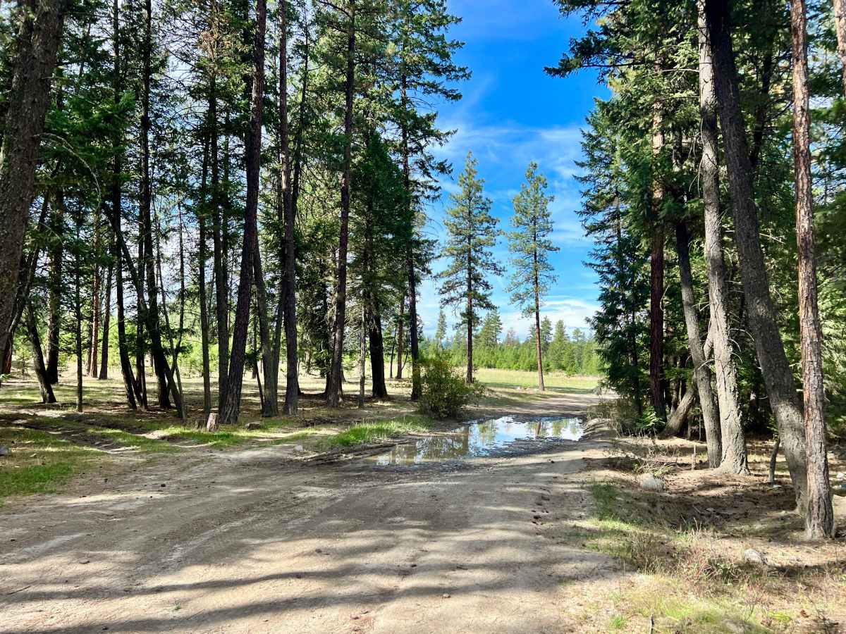
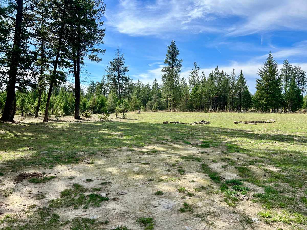
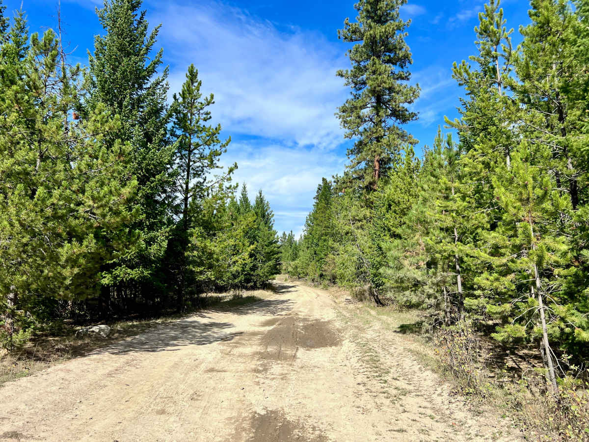
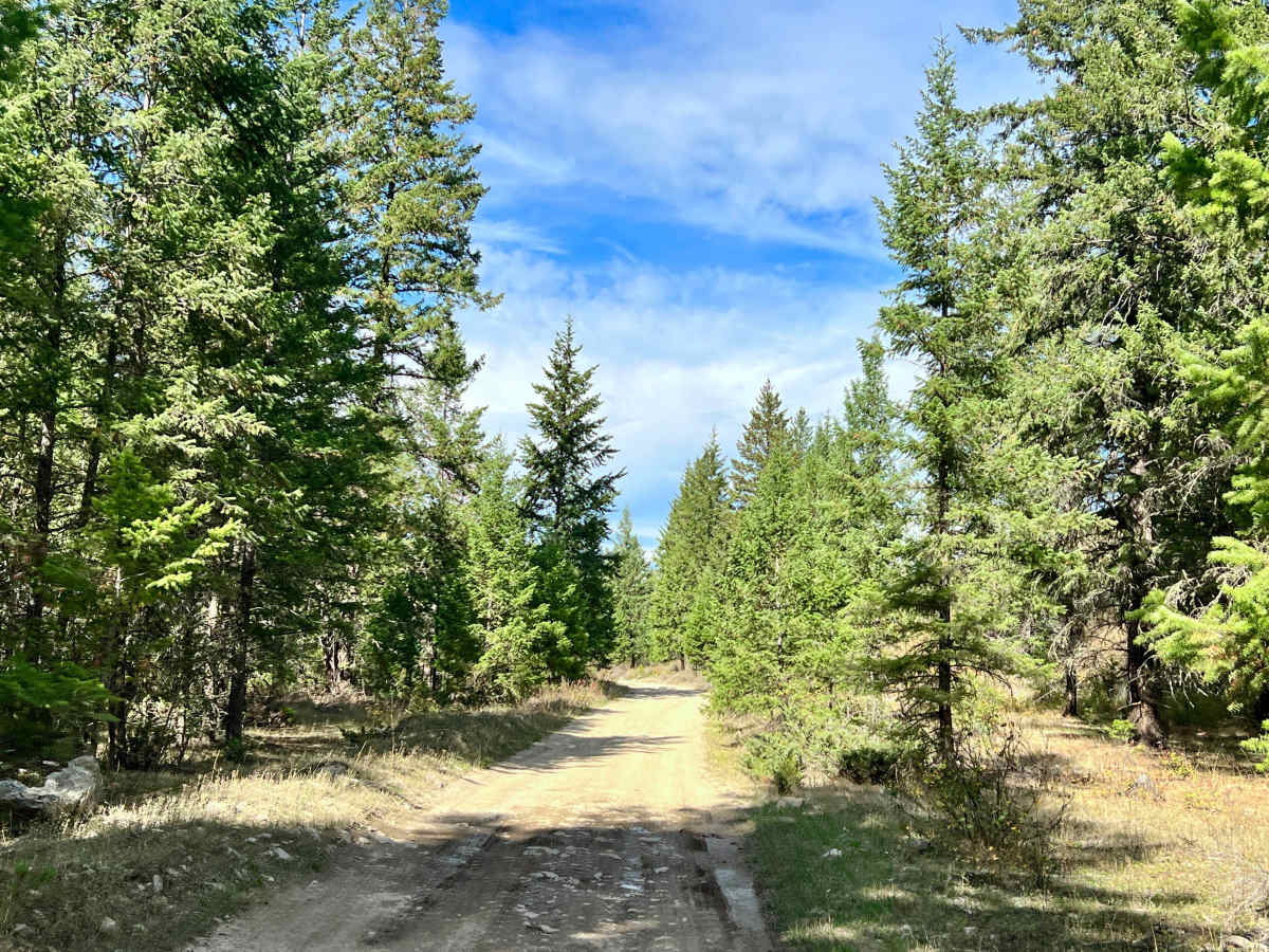
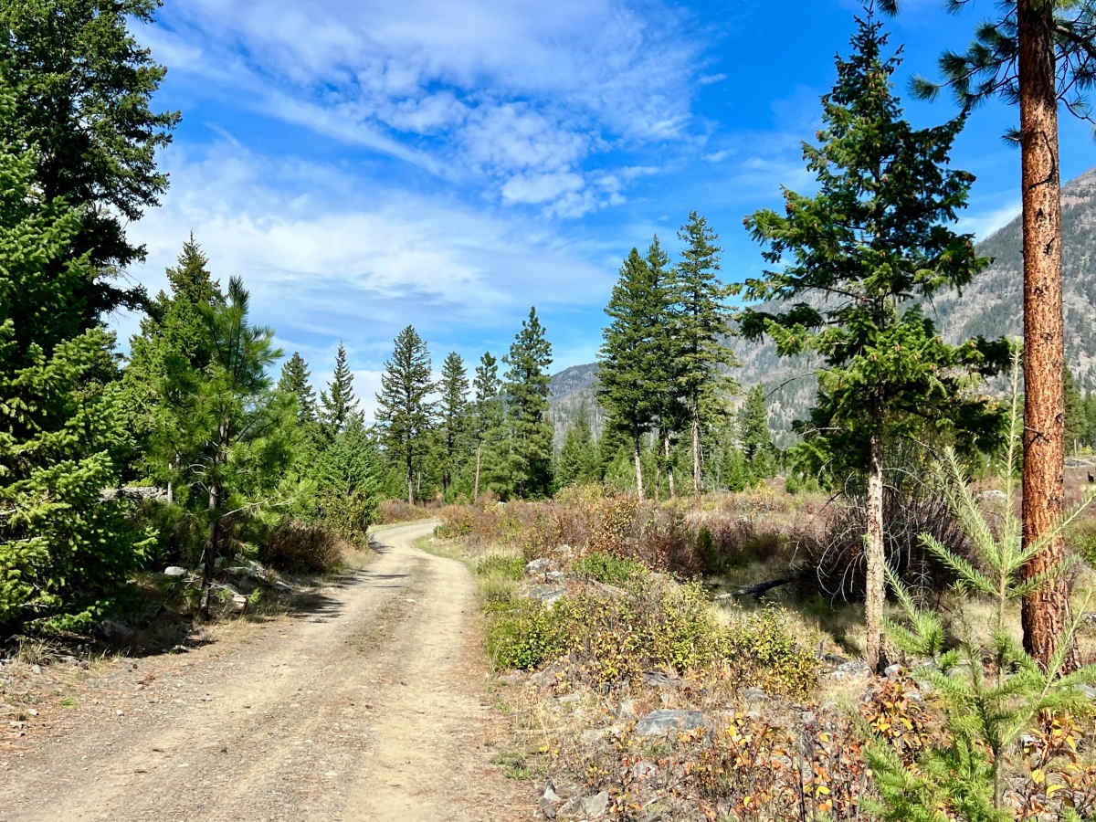
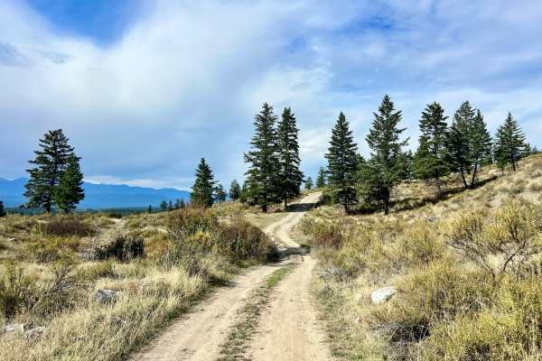
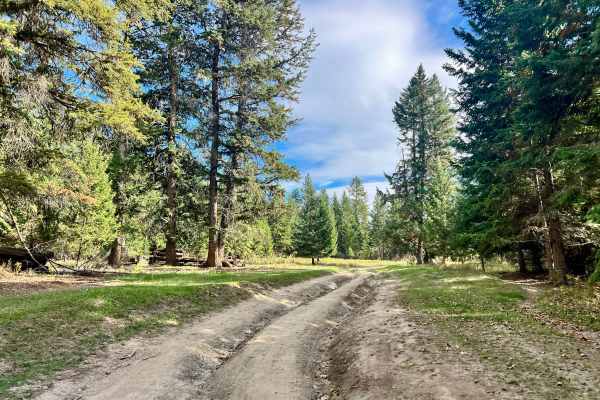
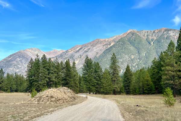
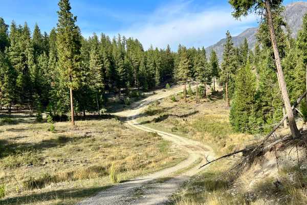
This bumpy trail branches away from the recreation site and climbs farther into the surrounding hills. The route follows a ridgeline above several smaller lakes, which are visible from the trail but generally require hiking to reach. The route is primarily rough and uneven, with rocky sections, shallow mud puddles, deteriorated road surfaces, short hill climbs, and occasional boulders. These features make it somewhat more challenging than the main road to the recreation site. The trail eventually descends or continues into a scenic valley meadow. Along the way, users will encounter a few random campsites, usually identifiable by established fire rings in flat areas. Several side trails branch off toward additional campsites and viewpoints, offering opportunities for further exploration. From the end of the trail, it may be possible to reach the north side of one of the lakes on foot; however, most of the lake is private property. Check boundaries and do not cross onto private land without confirmed permission. Cell service is limited and intermittent; approximately one bar.
Difficulty
Four-wheel drive or all-wheel drive is helpful when the trail is wet or rutted, although the route is generally manageable in dry conditions. Watch for mud puddles, soft ground, deteriorated sections, rocks, and small boulders.

 Offroad