Trail Overview
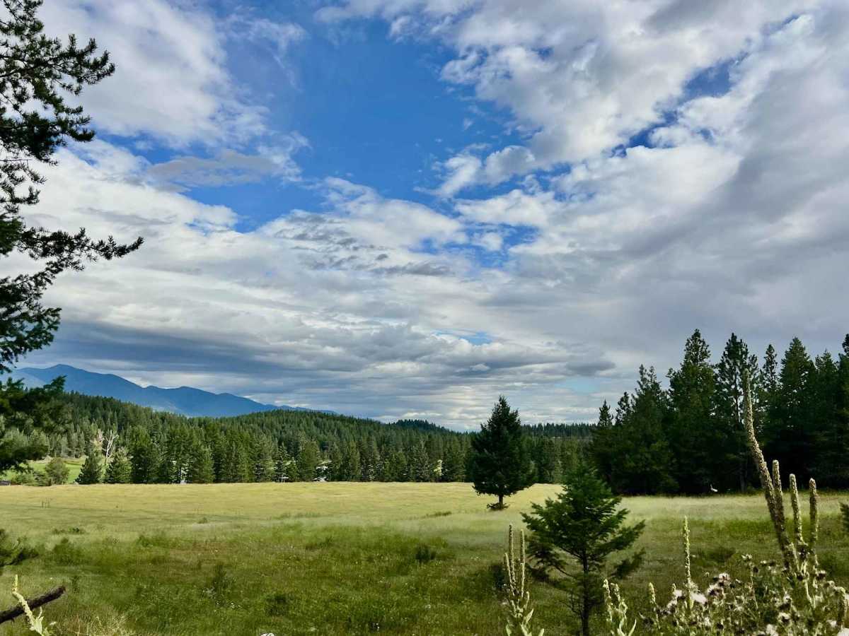
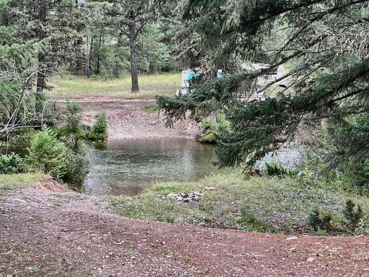
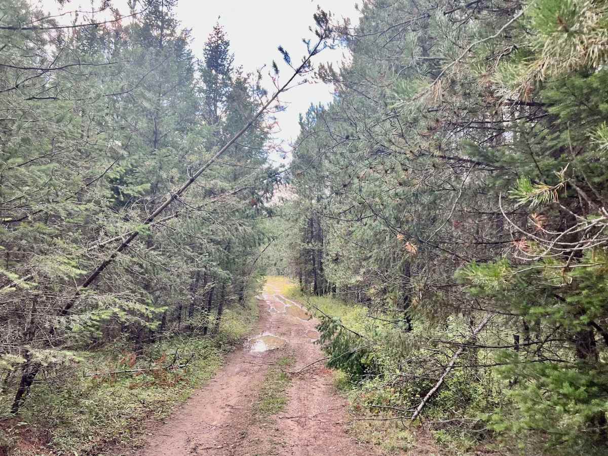
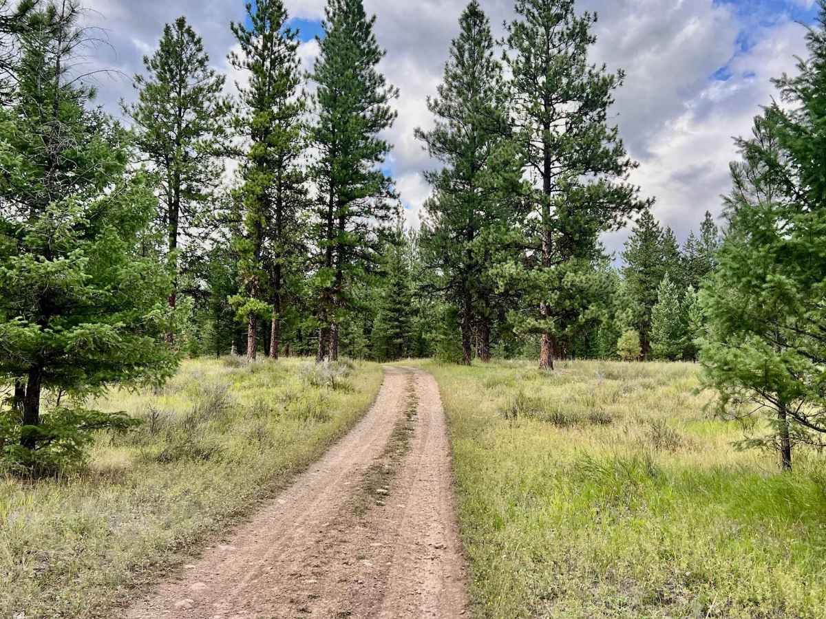
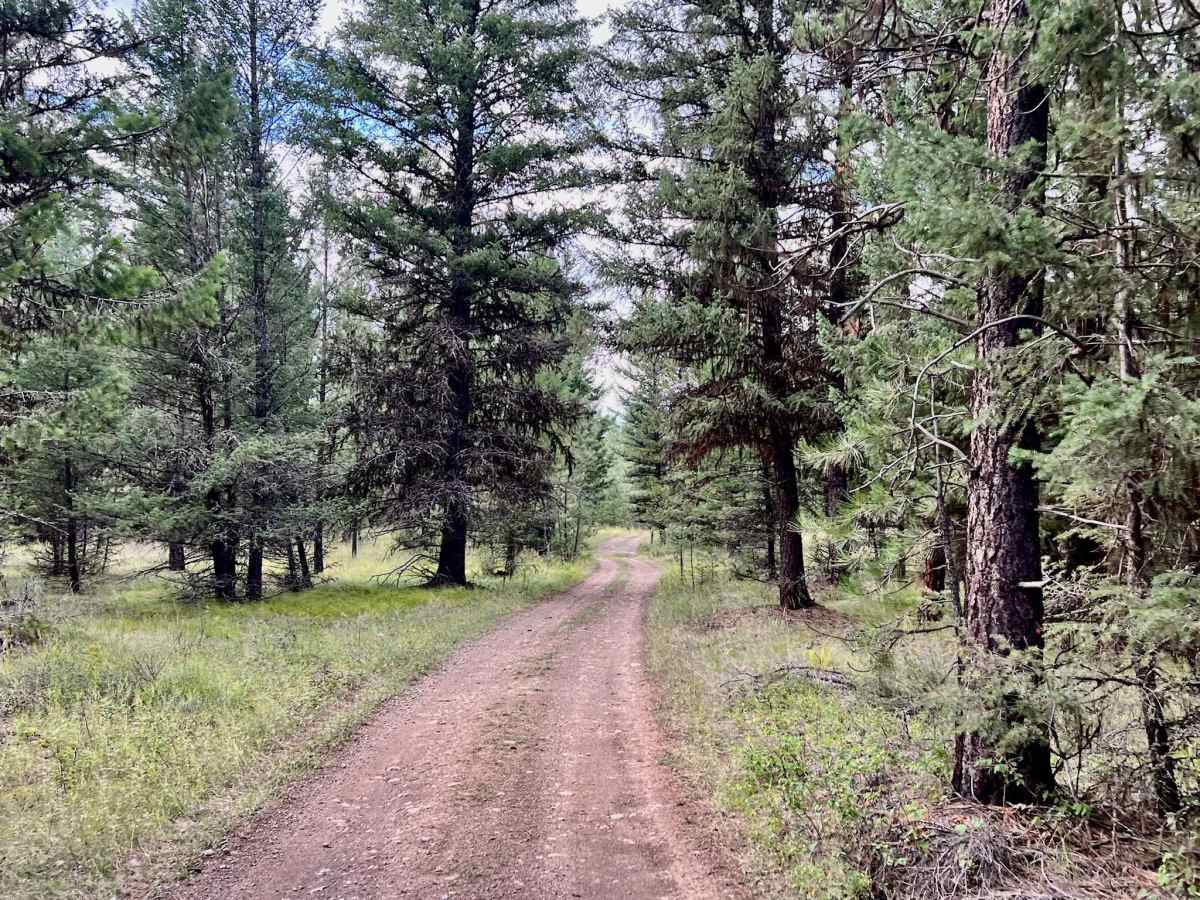
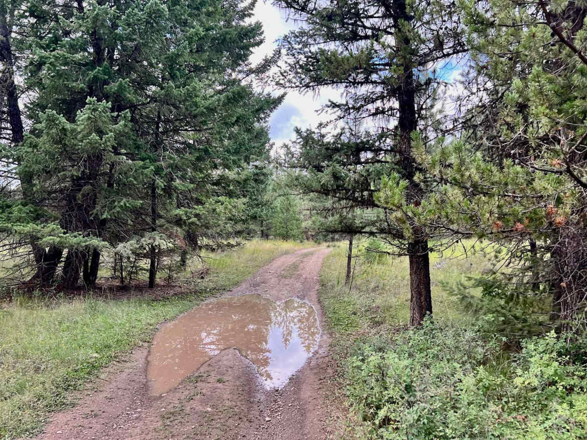
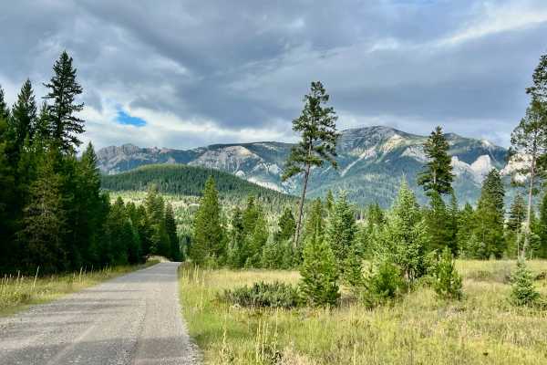
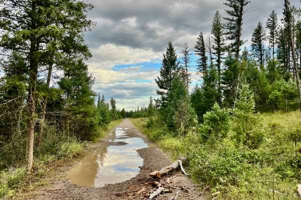
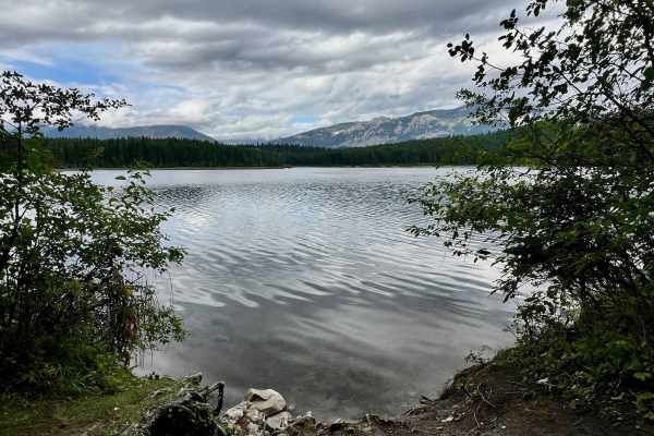
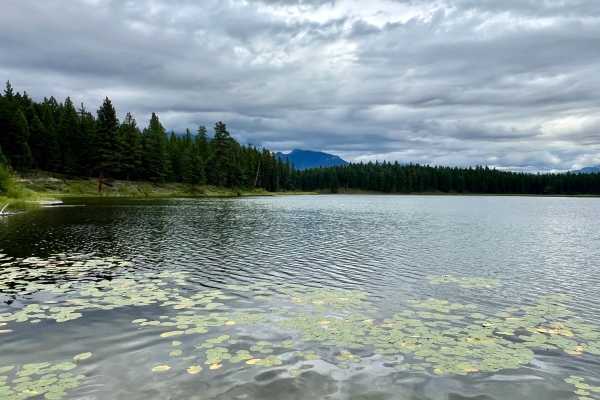
The Kikomun Creek Loop offers a diverse experience. The southern half of the loop is wide and super easy, with manageable potholes and ample room, making it accessible for even larger campers and RVs. The camping spots in this undeveloped area are limited, and some campers appear to be more settled than just temporarily camping. While it might not be the ideal spot for a quick recreational camp, a few suitable options are available in the vicinity. Once you pass the initial campground area, the trail transitions dramatically. It goes from wide and well-graded to super narrow and can be full of potholes or mud lots when wet. Despite these changes, it remains a scenic loop, winding through the trees. Expect only one bar of LTE service, so make sure to download your offline maps. There are no services, so remember to pack in everything you need and pack out everything you bring.
Difficulty
The southern half is wide and easy; the northern half is narrow with significant potholes or mud when wet. Suitable for most vehicles on the southern half; however, for the entire loop, especially the narrow, potentially muddy sections, a 4x4 vehicle with good clearance is recommended.
History
The Kikomun Creek area, nestled within the Koocanusa Recreation Management Area, lies within the traditional territory of the Ktunaxa people, who have thrived here for millennia. This loop, like many routes in the region, likely evolved from historical access trails used for resource gathering or early logging. The dramatic transformation of the landscape with the creation of Lake Koocanusa by the Libby Dam in the late 1960s and early 1970s reshaped the environment, turning this once wild river valley into the diverse recreational haven it is today.