Trail Overview
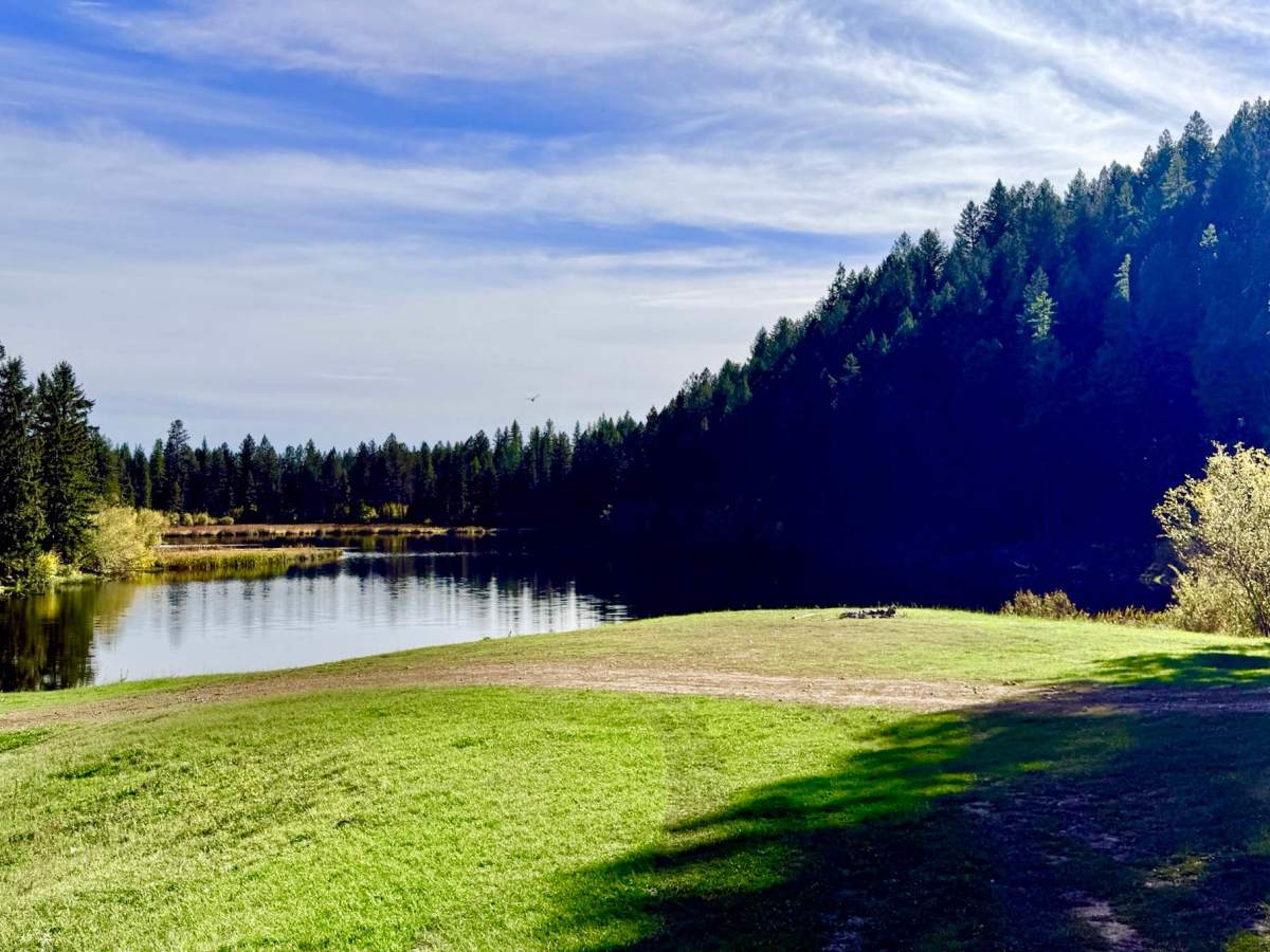
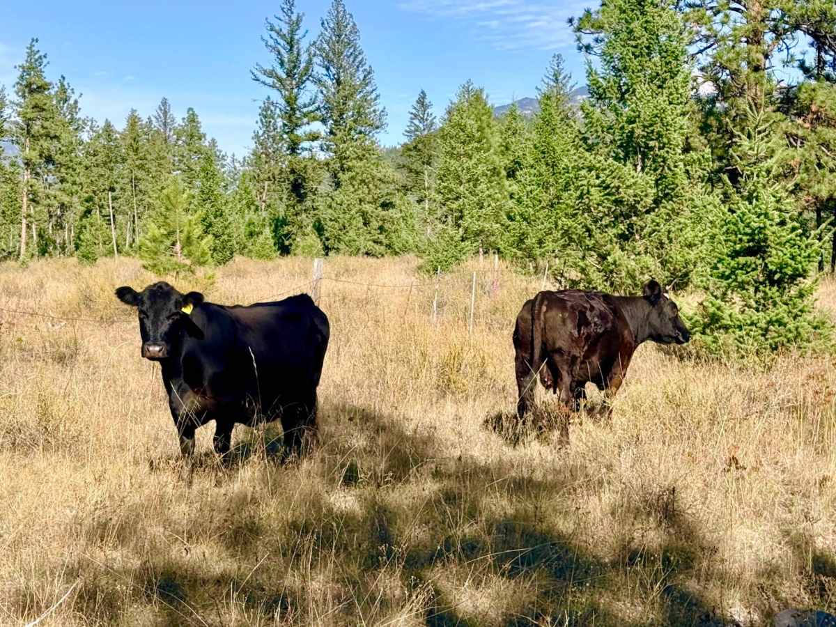
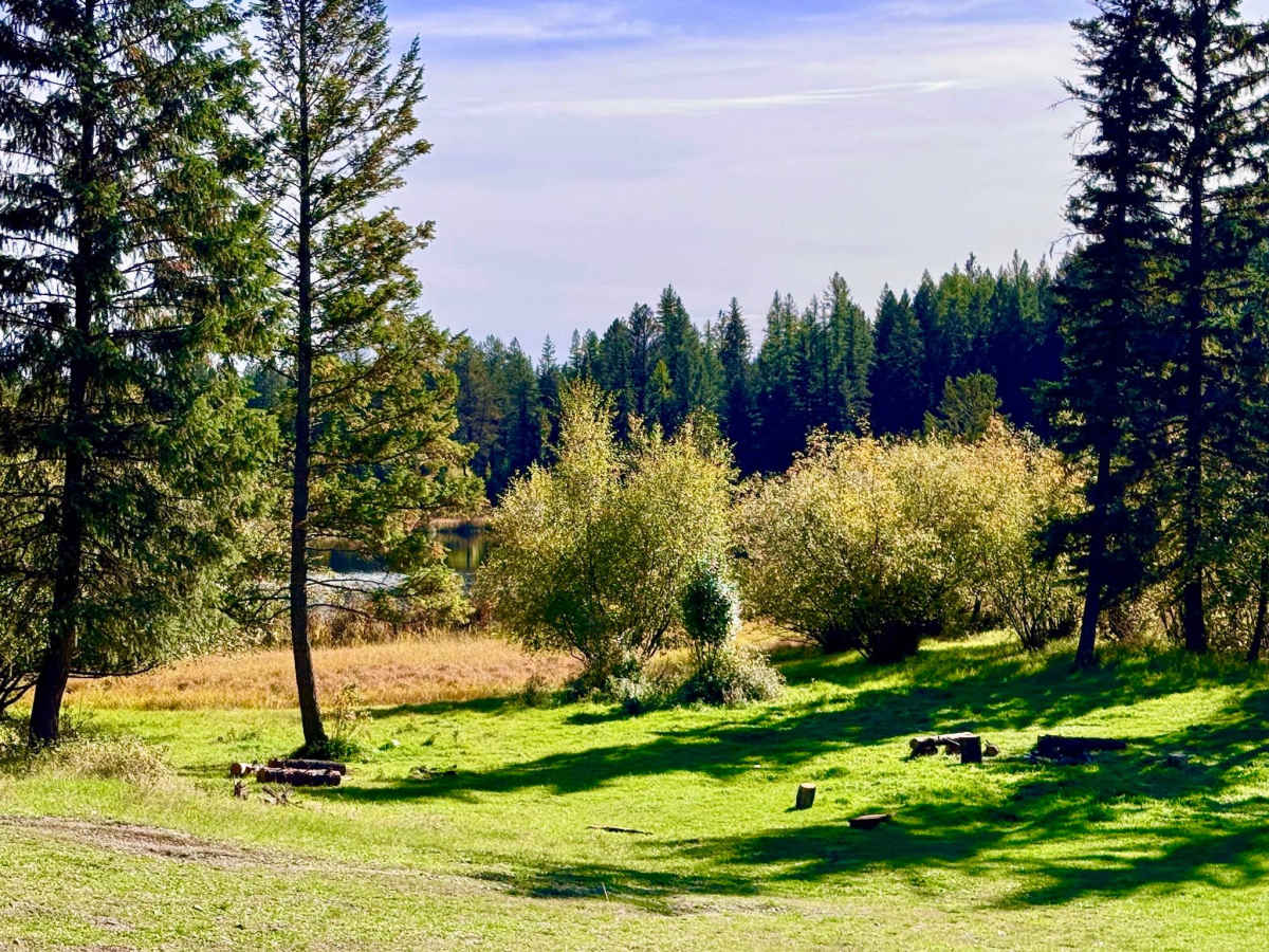
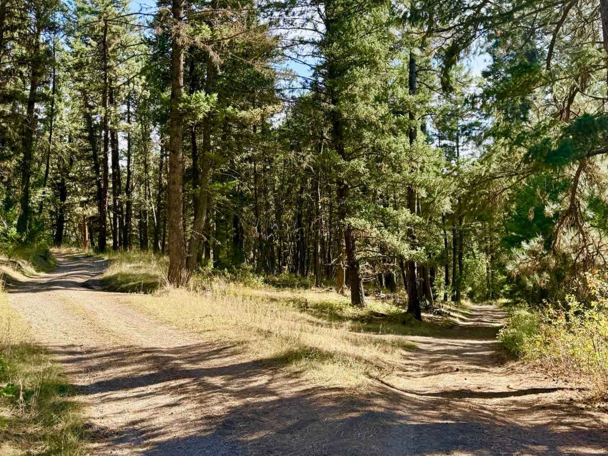
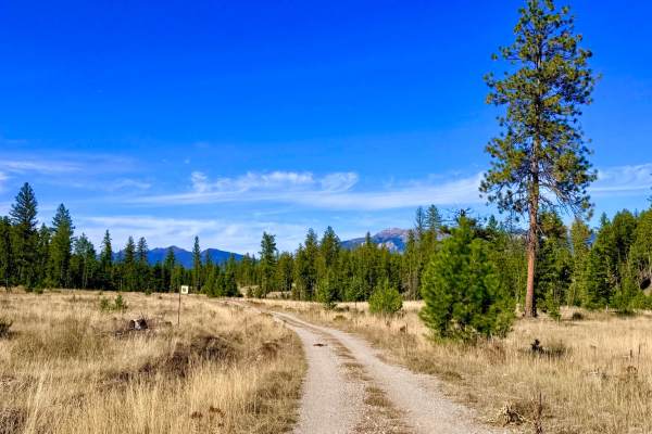
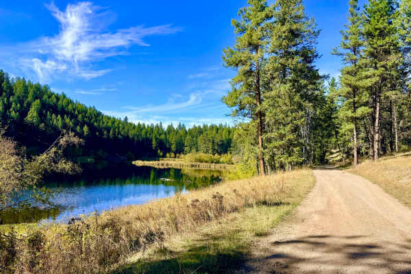
This short-and-sweet primary access route takes you directly to and from the shoreline of Fussee Lake. Conveniently close to the highway, this quick trail leads to a lovely, quiet backcountry lake that's an ideal overnight stop for travelers and campers looking to pull off the main road for the evening. Although the lake isn't very large, its surface is dotted with picturesque lily pads and offers a peaceful setting. Right at the lake, you will find a couple of prime undeveloped campsites featuring existing fire rings, level parking areas for setting up camp, and great vantage points overlooking the water. If you arrive and find the lakeside spots already occupied, there are plenty of offshoot spur trails in the immediate area that lead to alternative dispersed camping sites tucked into the surrounding timber. Keep a heads-up for free-roaming livestock along the way, as this is active open-range cattle territory. You can expect a reliable one to two bars of LTE cellular service around the lake and along the trail, giving you enough connectivity to check messages or weather updates from camp.
Difficulty
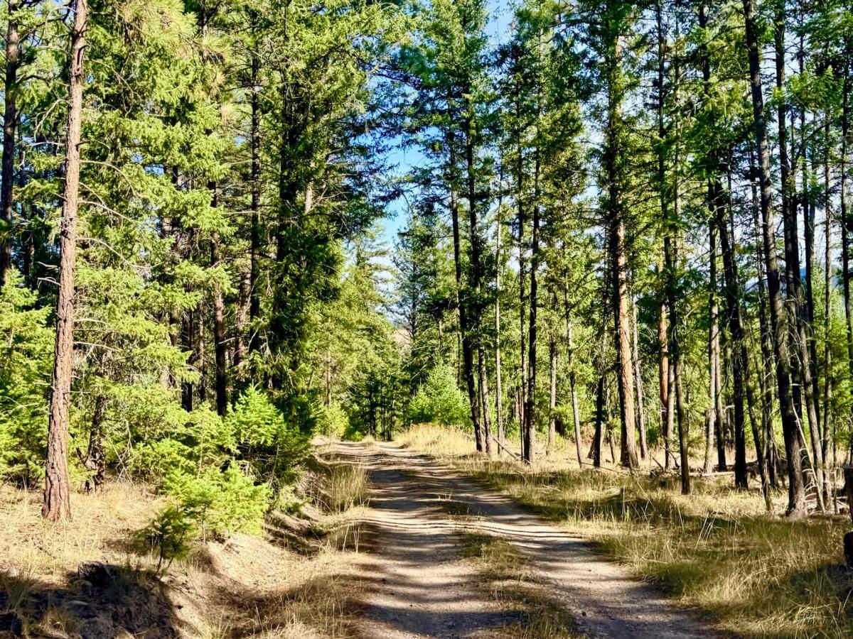
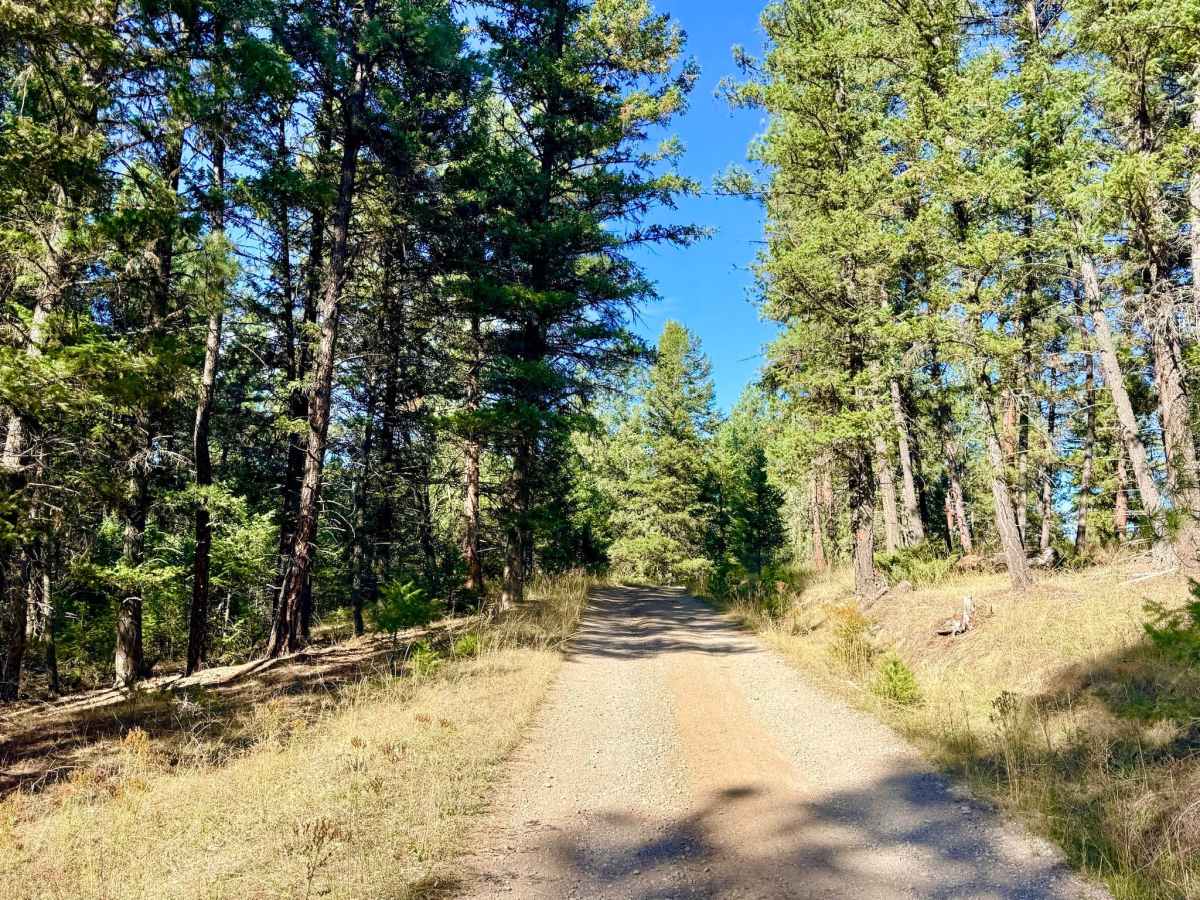
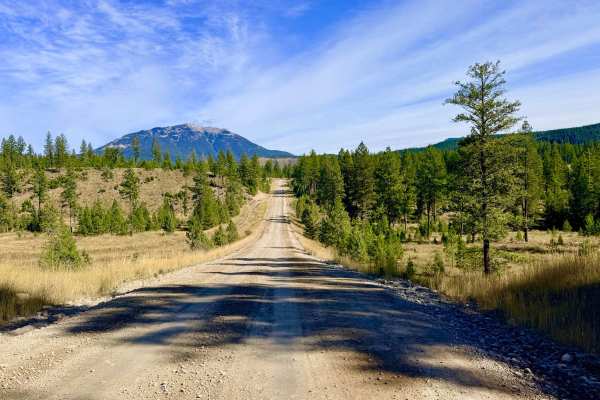
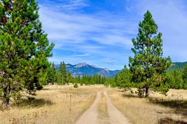
This is a mostly easy, straightforward drive suitable for any stock high-clearance 2WD or 4WD vehicle. The trail narrows in a few wooded sections and has occasional potholes, minor ruts, and small mud holes, but presents no major obstacles under normal conditions.

 Offroad