
Dirt Bike Trails
Near Wister, Oklahoma
Explore All Dirt Bike Trails Near Wister, Oklahoma
Dirt Bike Trails Near Wister, Oklahoma
Discover the best dirt bike trails near you. Browse trail maps, check difficulty ratings, and find your next adventure — whether you're looking for a quick ride or an all-day expedition.
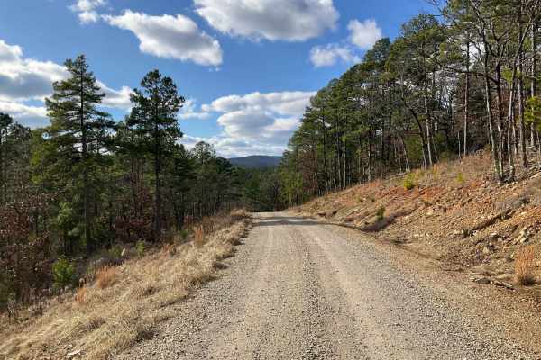
West Kelly (A45)
Forest Service Trail A45, affectionately known as West Kelly Trail, is a captivating journey through the dense, lush forests of the Ouachita National Forest in southeastern Oklahoma. Situated just north of the majestic Winding Stair Mountains, the trail is primarily a gravel road, accessible to most...
Learn more about West Kelly (A45)
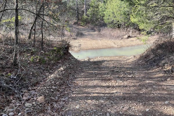
Merie Conser Trail (FS 6061)
The Merie Conser or Forest Service Road 6061 is a scenic trail nestled in the Ouachita National Forest, just north of the Winding Stair Mountains in Le Flore County, Oklahoma. The trail, just under three miles long, is relatively easy for most parts, except for the initial section. It begins with a ...
Learn more about Merie Conser Trail (FS 6061)
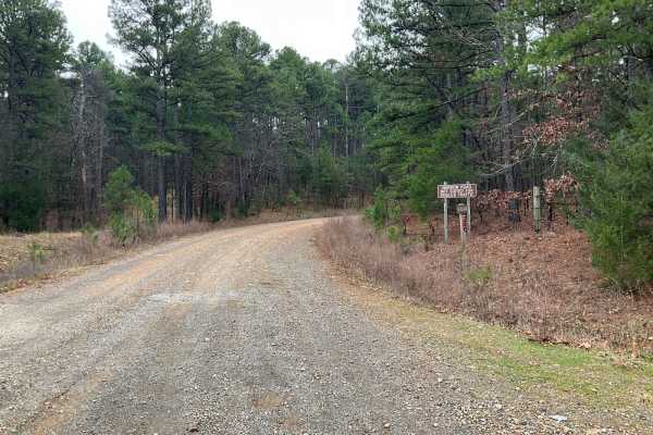
Tall Cedar Trail
"Tall Cedar," also known as Forest Service Road 6014, is a scenic passage nestled in the lush expanses of Le Flore County, Oklahoma, within the Ouachita National Forest. This 2.5-mile trail is an easy traverse, favored for its all-gravel and wide path, making it accessible to many. As it meanders up...
Learn more about Tall Cedar Trail
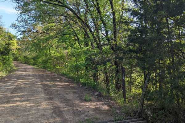
McMurtery Hollow
Nestled in the heart of the Ouachita Forest, this 6.8-mile OHV trail offers a dynamic off-road experience, perfect for enthusiasts looking to immerse themselves in nature. As you navigate the varied terrain, you're surrounded by the rich biodiversity of the Ouachita ecosystem. The trail is shaded by...
Learn more about McMurtery Hollow
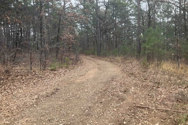
Tower Trail
The Tower Trail, also known as Forest Service A55A, is a concise and adventurous path in the Ouachita National Forest. Spanning only about 1.5 miles, this trail is relatively short but offers a unique journey as it ends in a large clearing, marked by a notable communications tower. Recently carved o...
Learn more about Tower Trail
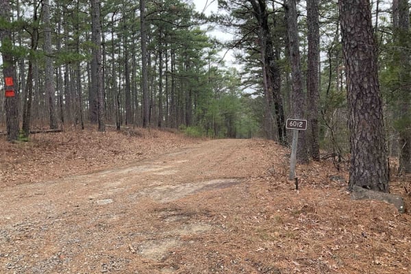
Goldville Trail
The Goldville Trail, also known as Forest Service Road 6012, is nestled in the picturesque Ouachita National Forest, just north of the Winding Stair Mountains. This challenging trail begins with an easy stretch, offering a gentle introduction before quickly transitioning into a more demanding rocky ...
Learn more about Goldville Trail
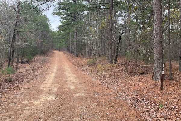
Tram Ridge Trail
Tram Ridge, also known as Forest Service Road 6018, is a scenic trail nestled in the Ouachita National Forest. Historically, the area is rich in natural beauty and has been a site for outdoor enthusiasts for generations. The trail is relatively easy, accessible to most vehicles, and is known for its...
Learn more about Tram Ridge Trail
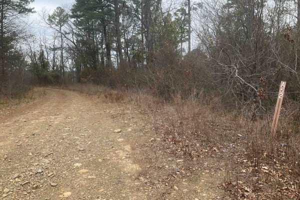
Upper Tram Trail
Upper Tram Trail, known locally as A52, is a picturesque trail set in the heart of the Ouachita National Forest. This trail is steeped in the area's rich history and offers an accessible route suitable for most vehicles. The journey along A52 is marked by mild ascents and descents as it follows the ...
Learn more about Upper Tram Trail
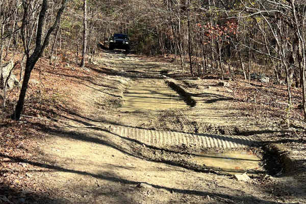
Sycamore Creek
Sycamore Creek can be run as an in-and-out trail or you can connect with many other trails in the area and travel right on through these trails get narrow and challenging, so beware. There are a few low spots that seem to always have a little mud and when it rains, they will become impossible, espec...
Learn more about Sycamore Creek

Morgan
The north portion of this trail is easy;the southern half is a bit more challenging. The trail can be traveled in either direction and has a variety of surfaces, such as mud bogs, creek crossings, and narrow sections. This is a gravel road, and it gets tight in the trees, especially for 4x4. The sou...
Learn more about Morgan
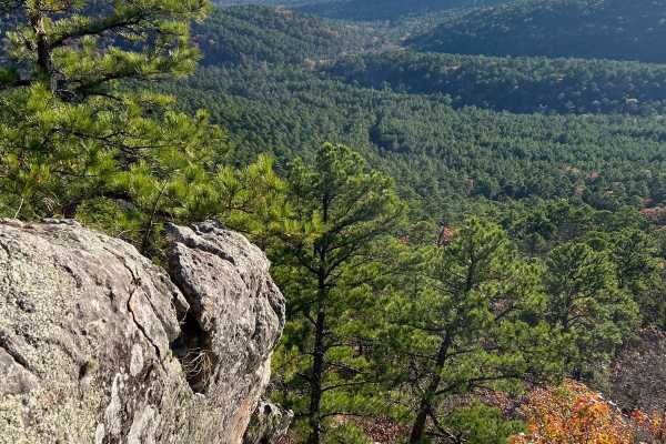
White Rock
This is a challenging trail with tight turns, narrow straits, steep climbs, and not many places to pass or turn around. If pinstripes are a deal breaker then you may want to reconsider. With that being said this trail will take you to one of the coolest rock formations and one of the best views in t...
Learn more about White Rock
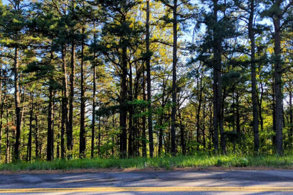
Page Smithville Route: OHV Trail 6007
Located off Highway 59 at the northeastern end and accessible via the Talimena Scenic Drive at the southwestern side, the Page Smithville route, also recognized as OHV trail 6007, offers an extraordinary off-road experience. This trail spans a diverse landscape with remarkable elevation changes as i...
Learn more about Page Smithville Route: OHV Trail 6007
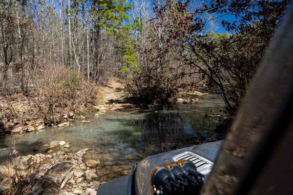
Billy Creek Spur Trail
We stumbled upon this little trail while exploring. It was rocky, tight, and super fun! There were a few small water crossings and breathtaking views. But, there are a few technical areas where proper lines are needed. I imagine it could get very interesting during rain or after heavy rain.
Learn more about Billy Creek Spur Trail
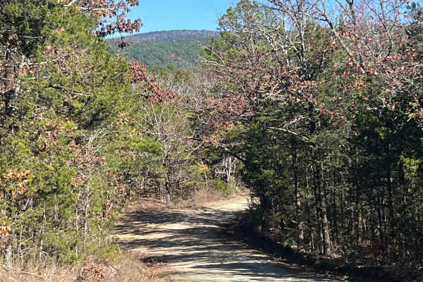
Muse
This is an easy and well maintained gravel road that cuts through the Quachita Wildlife Management Area near Muse, Oklahoma. Can be traveled in either direction, and you can access other activities along this route, like hunting, camping, and other off-road routes. Erosion can be an issue in some sp...
Learn more about Muse
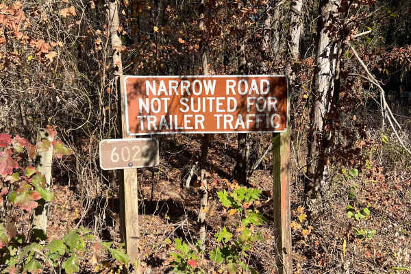
Lenox Ridge Road
Lenox Ridge Road is a mountain road that runs through the Quachita National Forest from Billy Creek campground to Oklahoma scenic Highway 1. The road is maintained with dirt and gravel, and signs are posted at each end advising against traveling it with trailers. There are a couple of nice campsites...
Learn more about Lenox Ridge Road
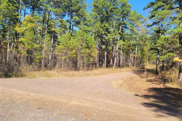
Haw Creek
This trail starts off Walker Mountain Road and ends at Champ Road. There are areas for dispersed camping in this area. Beautiful views and wildlife can be seen. Some sections of this gravel forest road can be rough and have mud when wet. This trail takes you further south into the Ouachita National ...
Learn more about Haw Creek
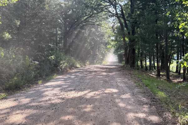
Black Fork Trail
This road is a rock-based road covered with gravel. The road can become slippery at times after heavy rains. The road is used by local farmers, and the farm equipment may cause congestion at times. There are potholes and small washes in the road, which cause the road to be bumpy. This road is easily...
Learn more about Black Fork Trail
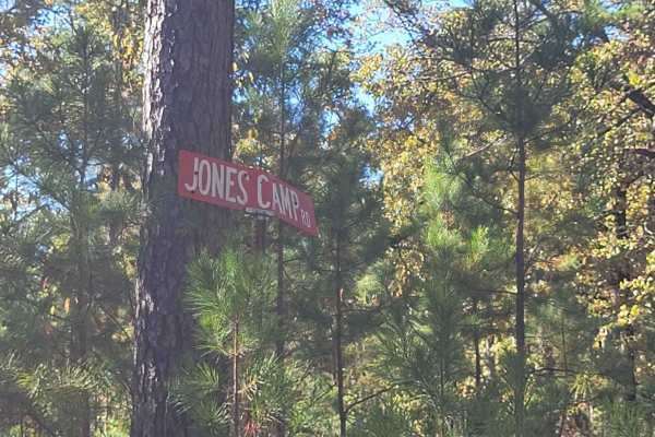
Jones Camp
This trail starts at Champ Road and ends on a narrow single-track dead end. There is an awesome dispersed campsite at the point you turn right on the single track. Champ Road is a gravel forest road that can be messy when wet. The single track has mud holes and undergrowth on it. Pinstripes can be p...
Learn more about Jones Camp
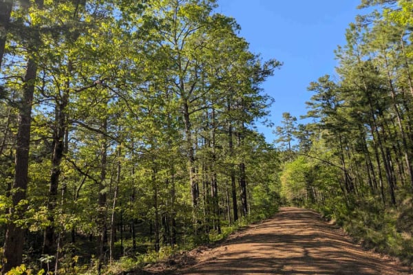
Jones Creek Road
This trail offers a scenic but rugged drive through a rural area where it passes small holdings and stretches of private land with grazing livestock on green pastures. The road is wet, potholed, and uneven in many areas, and drivers should proceed cautiously, especially near homes and through active...
Learn more about Jones Creek Road
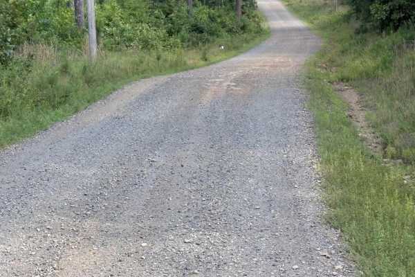
Lower Haw Creek Road
This road has a packed dirt base covered in gravel; there are wash areas where rock is exposed. The road may become slippery after heavy rains. There is an abundance of wildlife and some great views. Overall, this road is easily traveled by any type of vehicle without any issues.
Learn more about Lower Haw Creek Road
ATV trails near Wister, Oklahoma
Explore ATV-friendly trails near you. These trails are accessible for vehicles up to 50 inches wide, perfect for ATVs and smaller off-road machines.
West Kelly (A45)
Forest Service Trail A45, affectionately known as West Kelly Trail, is a captivating journey through the dense, lush forests of the Ouachita National Forest in southeastern Oklahoma. Situated just north of the majestic Winding Stair Mountains, the trail is primarily a gravel road, accessible to most...
Learn more about West Kelly (A45)
Merie Conser Trail (FS 6061)
The Merie Conser or Forest Service Road 6061 is a scenic trail nestled in the Ouachita National Forest, just north of the Winding Stair Mountains in Le Flore County, Oklahoma. The trail, just under three miles long, is relatively easy for most parts, except for the initial section. It begins with a ...
Learn more about Merie Conser Trail (FS 6061)
Tall Cedar Trail
"Tall Cedar," also known as Forest Service Road 6014, is a scenic passage nestled in the lush expanses of Le Flore County, Oklahoma, within the Ouachita National Forest. This 2.5-mile trail is an easy traverse, favored for its all-gravel and wide path, making it accessible to many. As it meanders up...
Learn more about Tall Cedar Trail
McMurtery Hollow
Nestled in the heart of the Ouachita Forest, this 6.8-mile OHV trail offers a dynamic off-road experience, perfect for enthusiasts looking to immerse themselves in nature. As you navigate the varied terrain, you're surrounded by the rich biodiversity of the Ouachita ecosystem. The trail is shaded by...
Learn more about McMurtery Hollow
UTV/side-by-side trails near Wister, Oklahoma
Find UTV and side-by-side trails near you. These trails accommodate vehicles up to 60 inches wide, ideal for UTVs, side-by-sides, and wider off-road rigs.
West Kelly (A45)
Forest Service Trail A45, affectionately known as West Kelly Trail, is a captivating journey through the dense, lush forests of the Ouachita National Forest in southeastern Oklahoma. Situated just north of the majestic Winding Stair Mountains, the trail is primarily a gravel road, accessible to most...
Learn more about West Kelly (A45)
Merie Conser Trail (FS 6061)
The Merie Conser or Forest Service Road 6061 is a scenic trail nestled in the Ouachita National Forest, just north of the Winding Stair Mountains in Le Flore County, Oklahoma. The trail, just under three miles long, is relatively easy for most parts, except for the initial section. It begins with a ...
Learn more about Merie Conser Trail (FS 6061)
Tall Cedar Trail
"Tall Cedar," also known as Forest Service Road 6014, is a scenic passage nestled in the lush expanses of Le Flore County, Oklahoma, within the Ouachita National Forest. This 2.5-mile trail is an easy traverse, favored for its all-gravel and wide path, making it accessible to many. As it meanders up...
Learn more about Tall Cedar Trail
McMurtery Hollow
Nestled in the heart of the Ouachita Forest, this 6.8-mile OHV trail offers a dynamic off-road experience, perfect for enthusiasts looking to immerse themselves in nature. As you navigate the varied terrain, you're surrounded by the rich biodiversity of the Ouachita ecosystem. The trail is shaded by...
Learn more about McMurtery Hollow
The onX Offroad Difference
onX Offroad combines trail photos, descriptions, difficulty ratings, width restrictions, seasonality, and more in a user-friendly interface. Available on all devices, with offline access and full compatibility with CarPlay and Android Auto. Discover what you're missing today!
Open Trail Map