Trail Overview
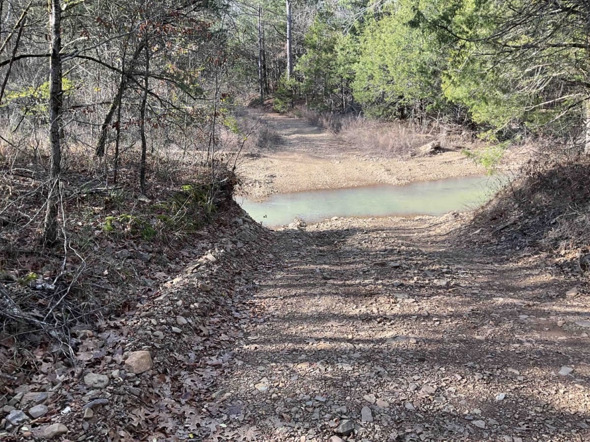
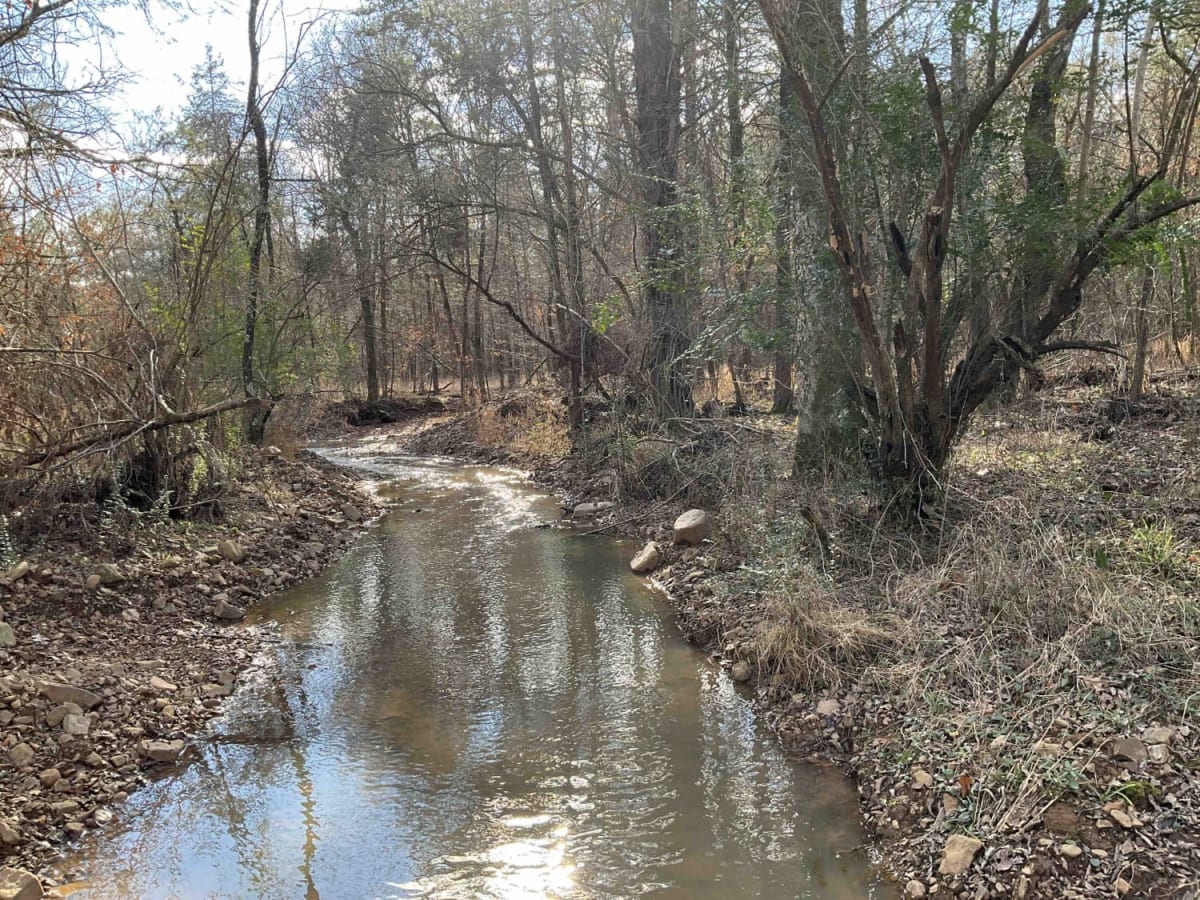
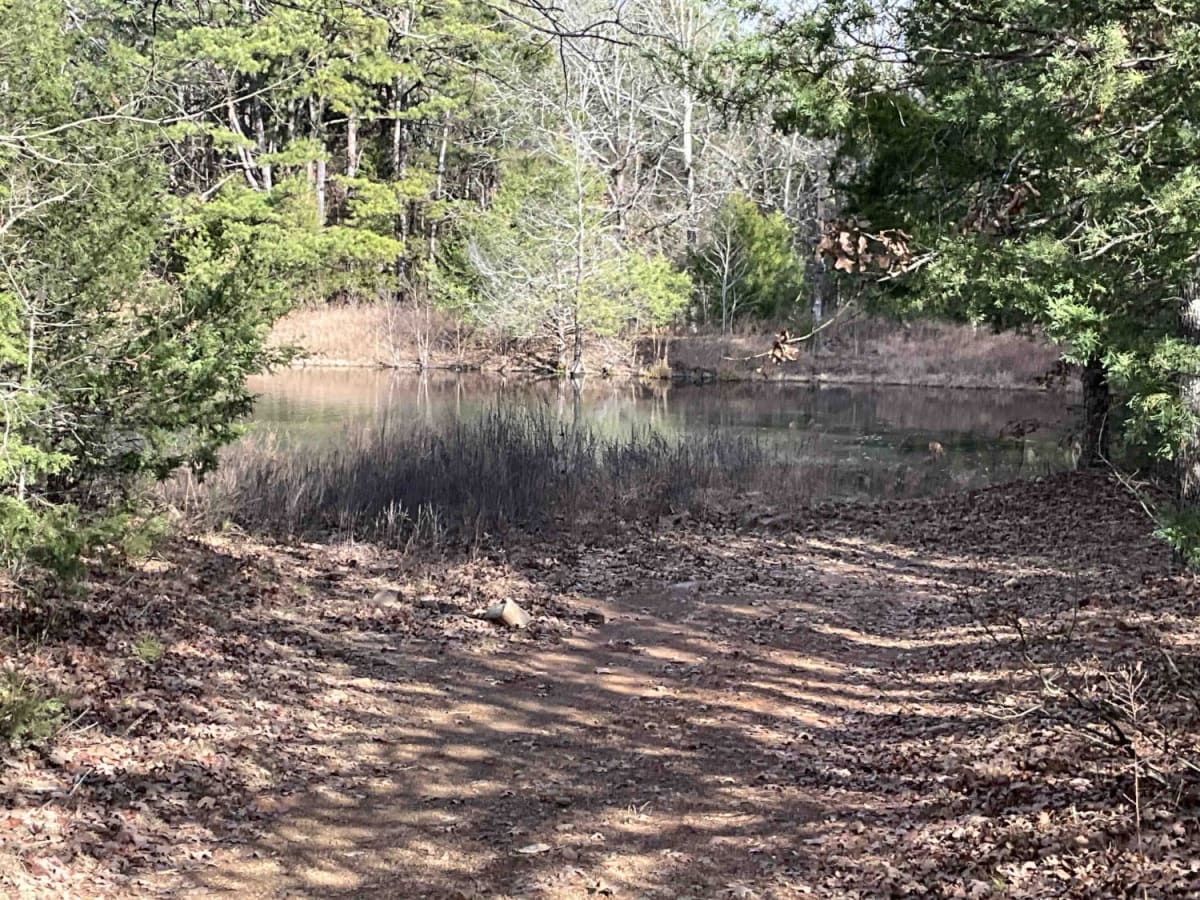
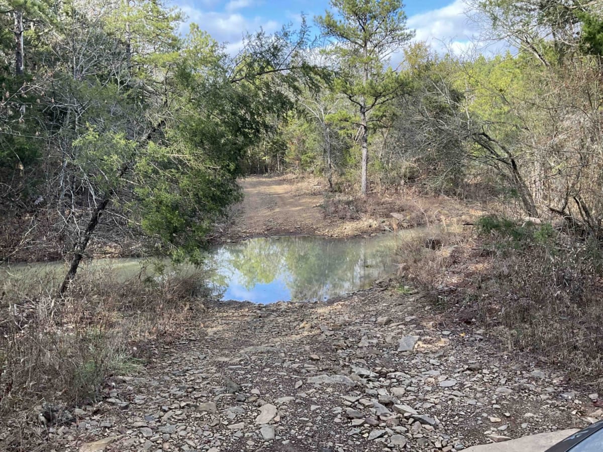
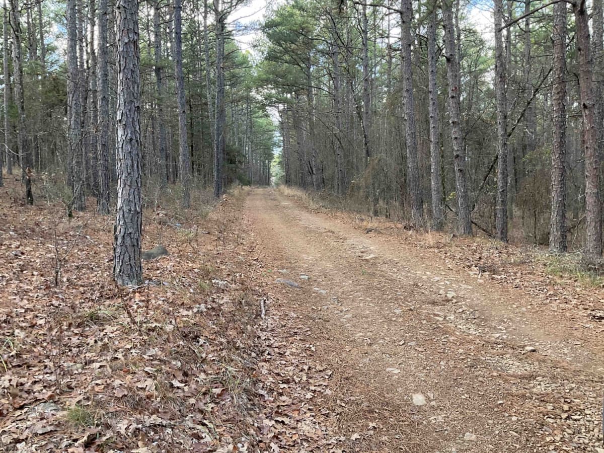
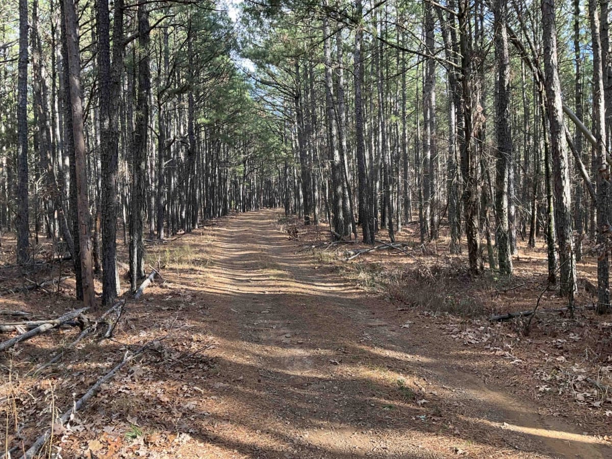
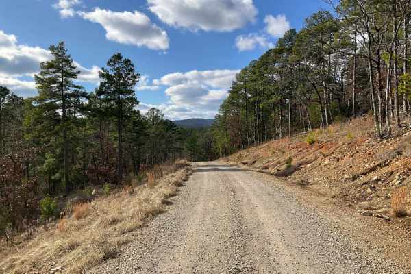
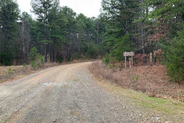
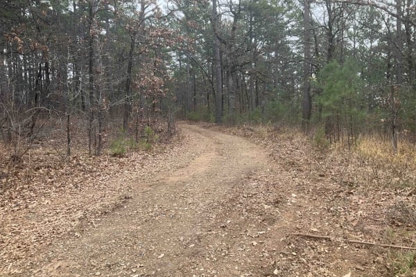
The Merie Conser or Forest Service Road 6061 is a scenic trail nestled in the Ouachita National Forest, just north of the Winding Stair Mountains in Le Flore County, Oklahoma. The trail, just under three miles long, is relatively easy for most parts, except for the initial section. It begins with a steep descent leading to the first of several water crossings, the most notable one being Conser Creek. As adventurers navigate this first stretch, they'll encounter a rocky terrain dominated by softball-sized stones that, while stable and solid, present a challenging start. Small washouts also mark this section, adding to the initial difficulty. The trail is dotted with a few appealing campsites, one of which sits beside a serene pond, offering a perfect spot for rest and enjoyment of the natural surroundings. The rocky path gives way to a more forgiving landscape as hikers progress. The terrain becomes easier, leading into a beautiful pine forest. Here, the trail is carpeted with soft pine needles, and the air is fresh with the scent of tall, thick pines that line the path. As the trail nears its end, hikers will encounter a cabin on private property, serving as a reminder of the human footprint in this otherwise wild area. It's important to respect private property by staying on the trail. Past the cabin, the path narrows due to overgrowth, signaling less frequent use. The trail concludes in a small clearing, a suitable spot for turning around, as established campsites are notably absent from this terminal point. Interestingly, the actual end of the trail is before what some maps may indicate, adding an element of surprise and exploration for those trekking it. Situated in a region rich in history, the area around the Merie Conser Trail is part of the Ouachita Mountains, a region known for its unique geology and lush forests. The Ouachita National Forest, established in 1907, is the oldest National Forest in the southern United States and provides a haven for a diverse range of wildlife and plants. Le Flore County, part of the larger Ouachita region, is an area steeped in Native American history, predominantly influenced by the Choctaw Nation. The nearby Winding Stair Mountains are part of the scenic Ouachita National Recreation Trail and are so named for their distinctive, winding appearance. This area's rich history and natural beauty make the Merie Conser Trail not just a hiking experience but also a journey through the living history and splendor of Oklahoma's natural world.
History
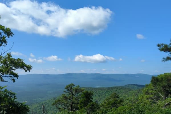
The nearby Winding Stair Mountains are part of the scenic Ouachita National Recreation Trail and are so named for their distinctive, winding appearance. This area's rich history and natural beauty make the Merie Conser Trail not just a hiking experience but also a journey through the living history and splendor of Oklahoma's natural world.