Trail Overview
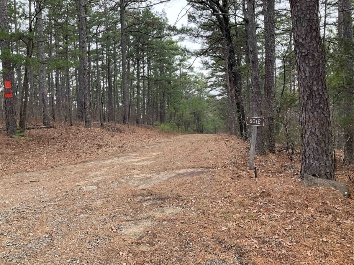
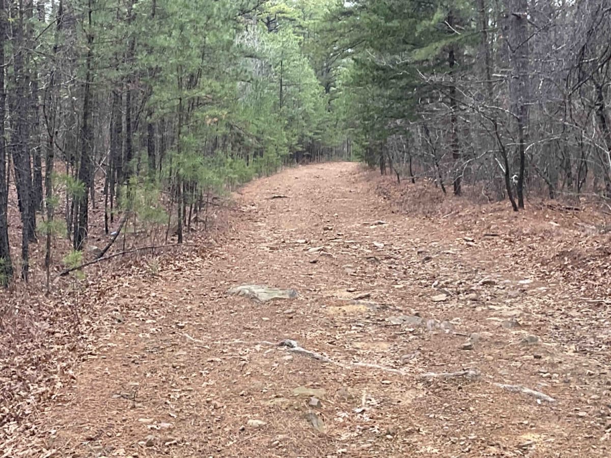
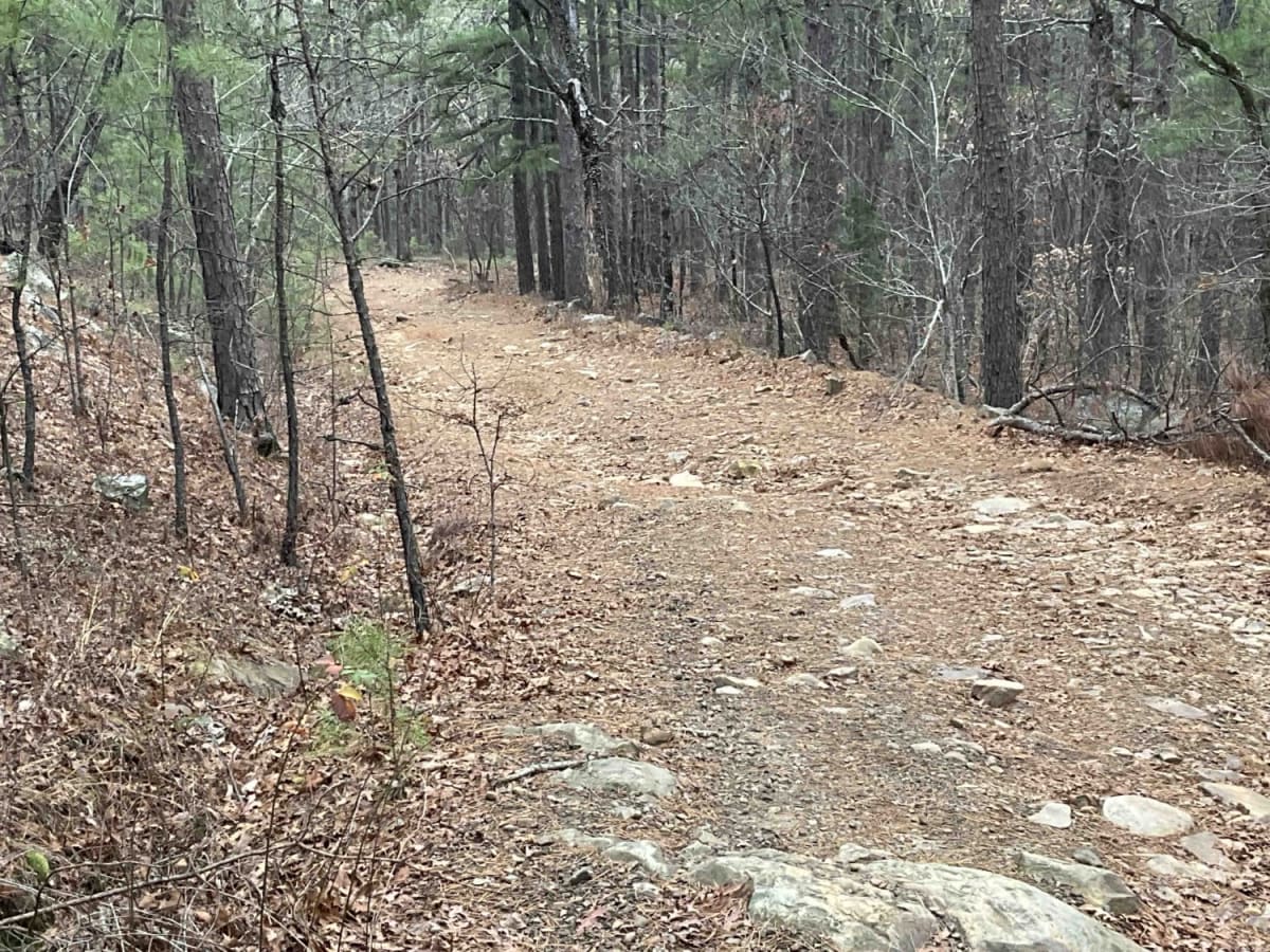
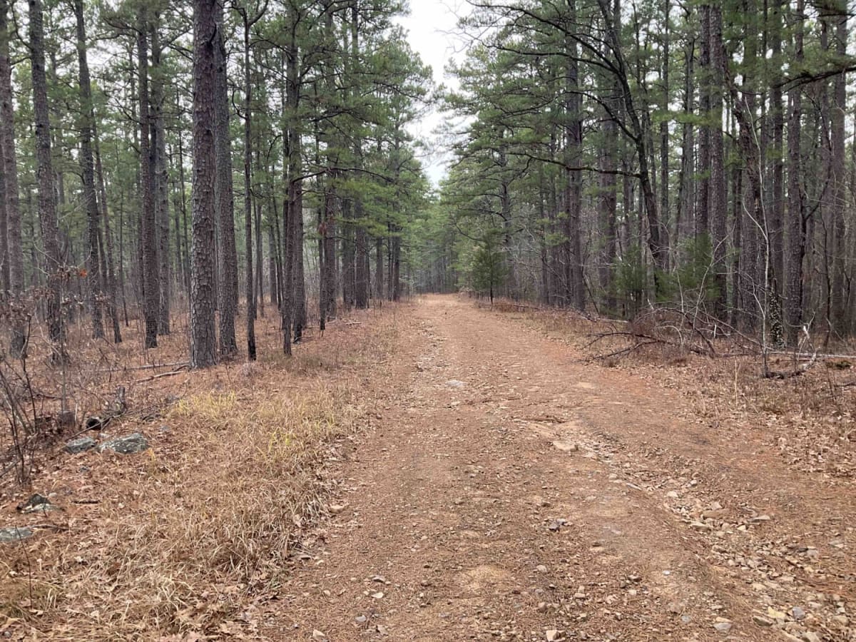
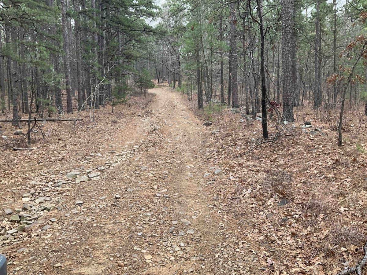
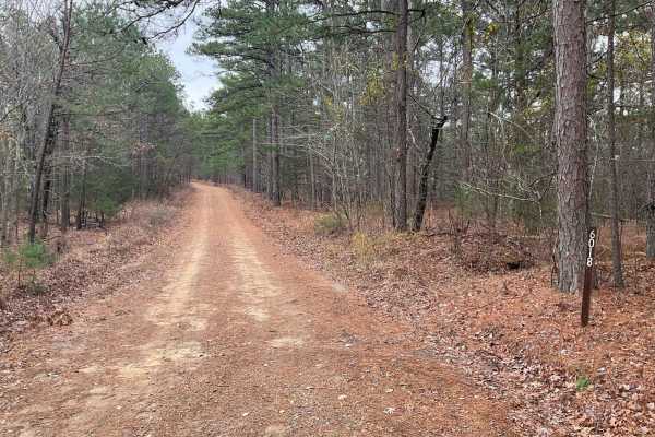
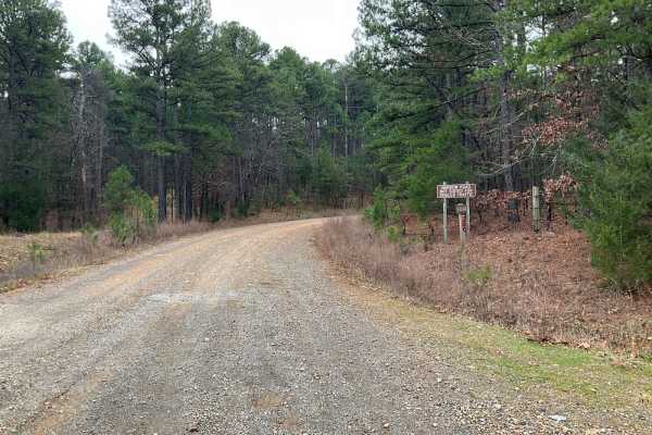
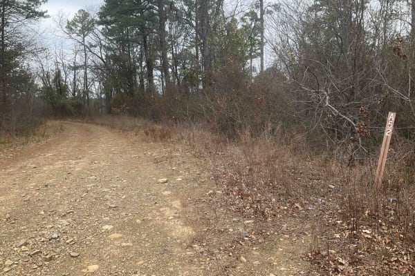
The Goldville Trail, also known as Forest Service Road 6012, is nestled in the picturesque Ouachita National Forest, just north of the Winding Stair Mountains. This challenging trail begins with an easy stretch, offering a gentle introduction before quickly transitioning into a more demanding rocky terrain, characterized by washouts and rugged surfaces that make for slow and technical navigation. As adventurers progress, they encounter several established campsites, with the most prominent one located approximately three-quarters into the journey. This large site can accommodate over ten rigs, making it a popular spot for groups. However, this area marks a shift to more severe conditions, featuring deep washouts and rock ledges with two-foot drop-offs descending at steep angles. Despite the rough conditions, the trail offers moments of respite as it levels out, though it predominantly remains rocky. Towards the end of the trail is a significant campsite offering relief after the challenging terrain. The trail then presents a major obstacle: a creek crossing that, depending on the season and weather conditions, may be impassable. This section highlights the unpredictable and wild nature of the trail. Goldville Trail is steeped in the rich history of the Ouachita National Forest, America's oldest national forest in the South. This area is known for its diverse landscapes, from dense woodlands to clear streams, and is home to a variety of wildlife. The trail itself, along with the surrounding forest, offers a glimpse into the area's past, with the possibility of encountering remnants of old homesteads or historical sites along the way. Hikers, off-roaders, and campers alike are drawn to Goldville for both its challenging terrain and the natural beauty and history it offers.
Difficulty
The washouts and the rock drop-offs make this one a little more on the challenging side. Could you do this in a stock vehicle? Yes, but with very careful tire placement and a good spotter. In the spring it could get a little more technical as the rocks and soil become more loose and slippery. The photos don't do it justice, but the last half is a challenge.