
Dirt Bike Trails
Near Wilsall, Montana
Explore All Dirt Bike Trails Near Wilsall, Montana
Dirt Bike Trails Near Wilsall, Montana
Discover the best dirt bike trails near you. Browse trail maps, check difficulty ratings, and find your next adventure — whether you're looking for a quick ride or an all-day expedition.
Olsen Creek
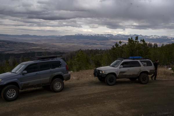
This is a nice drive through the Bridger range that most vehicles can do. The trail forks to Skunk Creek, which has some deep puddles, but nothing a stock truck or SUV wouldn't be able to handle. There are nice views of the Bangtail divide and Crazy Mountains when you reach the top.
Learn more about Olsen Creek
Fairy Creek - FS 500
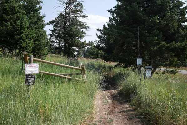
Fairy Creek is an ATV Trail for vehicles 50" or less. It's also a snowmobile path after December 2. It leaves from the Battle Ridge dirt parking lot on the west side of Highway 86 and starts out as a wide, smooth, dirt path lined with tall grass and white fir trees. It has wide-open views through th...
Learn more about Fairy Creek - FS 500
Bishop Park ATV
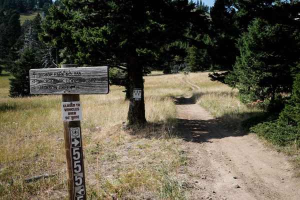
Bishop Park ATV trail is almost 7 miles long running north to south through the Gallatin National Forest. The north end starts on Miles Creek Road, and it ends at the intersection with the Jackson Creek ATV Loop. The majority is a very easy and wide two-track on smooth dirt. It gradually climbs up f...
Learn more about Bishop Park ATV
Bangtail Divide Trail #504
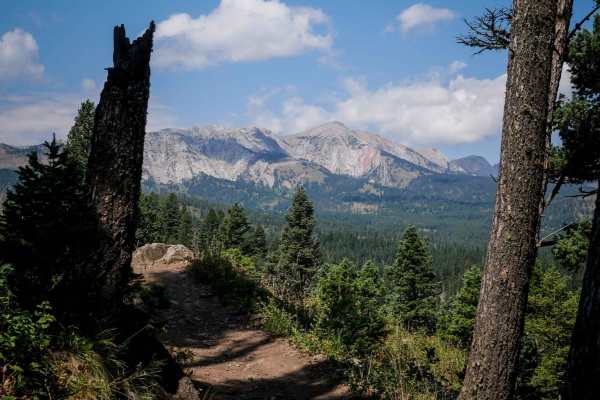
Bangtail Divide is an almost 13 mile long single track through the Gallatin National Forest. It starts at the Bracket Creek Trailhead off Highway 86, north of Bozeman, Montana. It leaves the large dirt parking lot by crossing a wooden bridge, then immediately goes into several easy and wide switchba...
Learn more about Bangtail Divide Trail #504
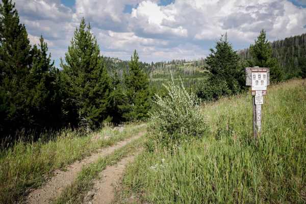
Canyon Creek Trail
This 3.4-mile-long ATV trail goes through the Gallatin National Forest and makes a loop off of Miles Creek Road. This trail is more faint and overgrown and less trafficked compared to the other ATV trails in the area. It's very curvy along the shelfy edge of a mountain, lined with lots of pine trees...
Learn more about Canyon Creek Trail
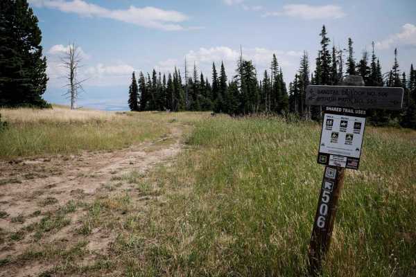
Bangtail Creek Loop ATV
The Bangtail Creek Loop Trail is a straightforward ATV trail open June 16th to Oct 14th to vehicles 50" or less. It starts on a mountain top as a grassy, overgrown two-track. The trail's most challenging part is small ruts, small loose rocks, and wide gradual switchbacks. Sometimes, there are sudden...
Learn more about Bangtail Creek Loop ATV
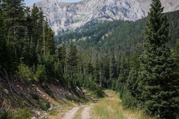
Carrol Creek
Carrol Creek is an easy 5 miles of ATV trail, designated for vehicles 50" or less. The south ends starts as a Jeep road, near the intersection with the Fairy Creek trail. After 1,000 feet or so, it turns into the ATV trail. It's still a very wide path though for the entire route. It goes pretty stra...
Learn more about Carrol Creek
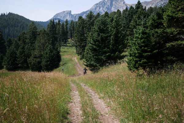
Benchmark
Benchmark is a 1.5-mile long 50" trail through the Gallatin National Forest north of Bozeman, Montana. It's easy for the entire route, going through grassy valleys on an overgrown dirt trail. This one looks less ridden, with grass growing down the middle of the trail, and not many tracks. It starts...
Learn more about Benchmark
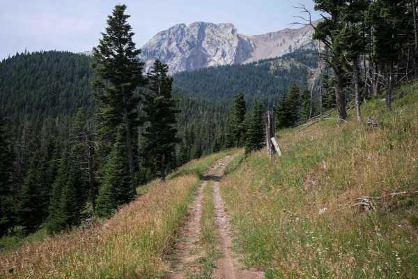
South Fork Flathead Creek
This is a 4.5-mile-long ATV trail designated for vehicles 50" or less. It's overall very easy, but does have some sections that have a bit of a rocky surface. The rocks are just small loose rocks and nothing that significantly increases the difficulty. It goes through beautiful grassy valleys undern...
Learn more about South Fork Flathead Creek
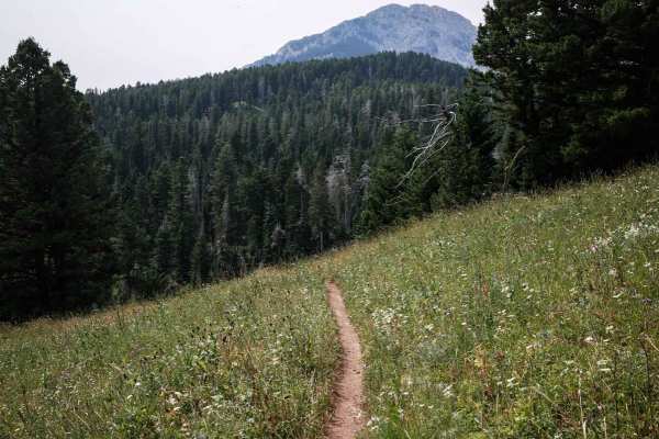
Upper Brackett Creek
Upper Brackett Creek Single Track is an easy and really scenic single track through the Gallatin National Forest north of Bozeman, Montana in the Bridger Mountain Range. It's a narrow skinny single track through wide open grassy meadows, with few white fir trees lining the trail. This one is fast, f...
Learn more about Upper Brackett Creek
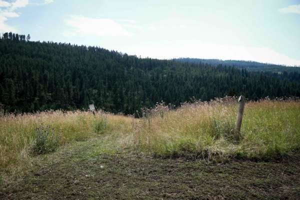
Willow Creek North Spur ATV
This is an easy ATV route through the Gallatin National Forest. This trail connects North Fork Willow Creek Road #6901 and Willow Creek Road #6600. From the north end, the first 2 miles climb up several hundred feet elevation, with several steeper spots. It's overall an easy two-track though, with s...
Learn more about Willow Creek North Spur ATV
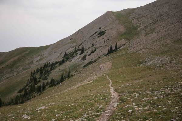
Corbly Gulch
Corbly Gulch is a 6.7-mile-long single track in the Gallatin National Forest north of Bozeman, Montana. From east to west, it's a steep descent almost the entire way, dropping down the mountain from the intersection of Bridger Ridge. It starts in the high elevation at the intersection with Bridger R...
Learn more about Corbly Gulch
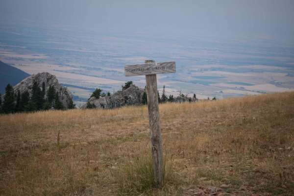
Ross Pass
Ross Pass is a 2.5-mile-long single track through the Gallatin National Forest. From the west end, it drops down from the summit of Ross Pass and the intersection with the Bridger Foothills, Bridger Ridge, and Upper Brackett Creek single tracks. It's a gradual descent the whole way, dropping 1,000 f...
Learn more about Ross Pass
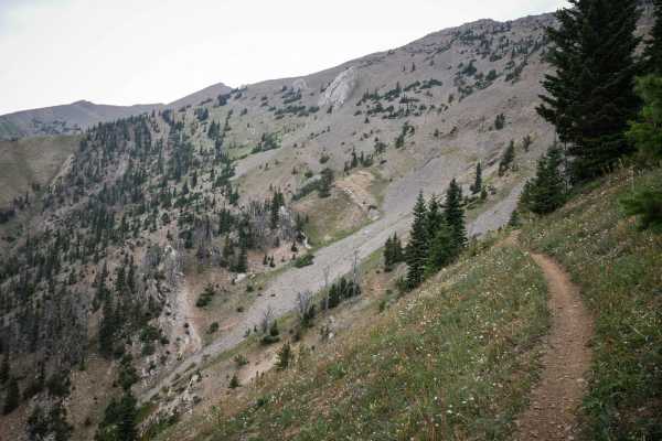
Bridger Ridge
Bridger Ridge is a top-tier single track in Montana's Bridger Mountain Range. It's full of incredible views and technical challenges and is mostly an epic skinny trail atop a ridge line around 8,000 feet elevation. It starts at the top of Ross Pass at the intersection with Upper Brackett Creek. It's...
Learn more about Bridger Ridge
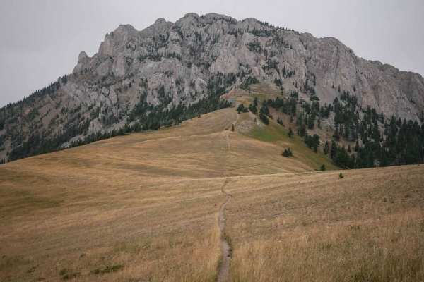
Bridger Foothills
Bridger Foothills is a long singletrack through the Gallatin National Forest, almost 7 miles long of challenging rocks, epic views, and technical switchbacks. The south end is more like a continuation of the Bridger Mountain trail. From the south, it starts on a narrow shelfy trail mid-way up the mo...
Learn more about Bridger Foothills
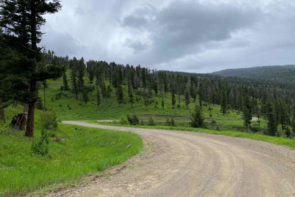
Start of Olsen Creek
The start of Olsen Creek Road is your basic gravel road, with somewhat deep potholes and parts of it washed out. There are no real obstacles or technical portions. There are tight switchbacks, so be mindful of oncoming traffic as well as the steep shoulders. There are privately owned parcels the rou...
Learn more about Start of Olsen Creek
Willow Creek South ATV
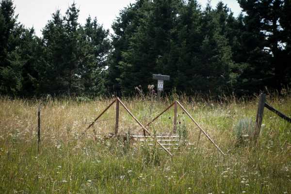
Willow Creek South is a less trafficked and easy ATV trail through the Gallatin National Forest. The east entrance to this trail is on Willow Creek Divide Road #6957 when the road fades and it turns into more of a two-track, but there is no sign right at the beginning. If you keep following the trac...
Learn more about Willow Creek South ATV
Bishop Park Connector
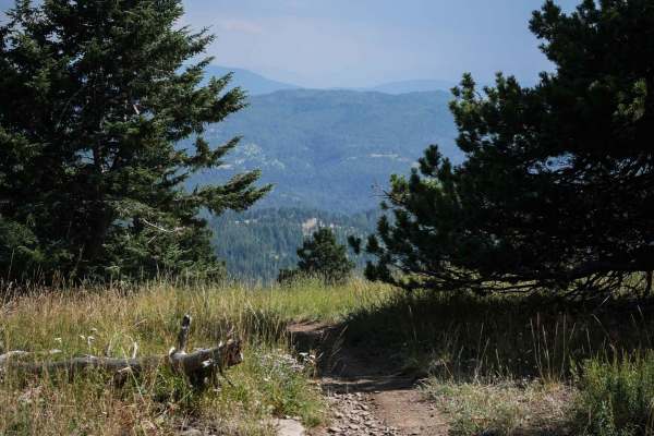
This is a half mile long single track that connects the Bishop Park ATV trail to the Bangtail Divide single track. It's easy, fast, flowy, and smooth, with no rocks. It goes through grassy meadows, and has some braided lines up some of the steeper hills. The first quarter mile is flat, and then it g...
Learn more about Bishop Park Connector
Bangtail Divide
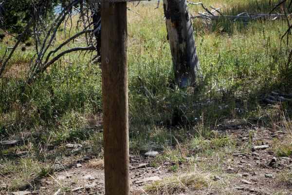
This is a 2.7-mile segment of the Bangtail Divide single track that parallels the Bishop Park ATV Trail. The south end starts at the intersection with the Bishop Park Connector Trail and a nonmotorized trail that goes to the Doyle Cabin. It goes north as a narrow trail through pine trees along the e...
Learn more about Bangtail Divide
Jackson Divide ATV
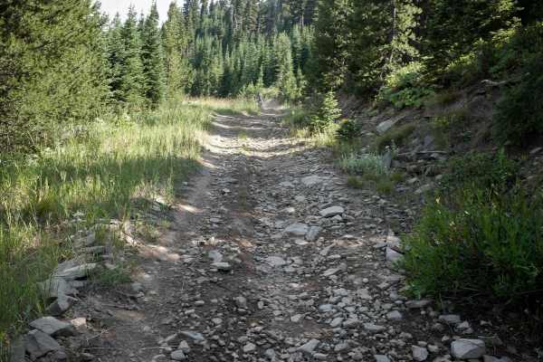
Jackson Divide Trail is a 1-mile connector ATV trail between the Willow Creek North ATV Trail and the Bishop Park ATV Trail. It's very easy, the majority of it being a smooth dirt two-track that is very similar to the rest of the ATV trails in the area. There are small loose rocks on the surface of ...
Learn more about Jackson Divide ATV
ATV trails near Wilsall, Montana
Explore ATV-friendly trails near you. These trails are accessible for vehicles up to 50 inches wide, perfect for ATVs and smaller off-road machines.
Olsen Creek
This is a nice drive through the Bridger range that most vehicles can do. The trail forks to Skunk Creek, which has some deep puddles, but nothing a stock truck or SUV wouldn't be able to handle. There are nice views of the Bangtail divide and Crazy Mountains when you reach the top.
Learn more about Olsen Creek
Fairy Creek - FS 500
Fairy Creek is an ATV Trail for vehicles 50" or less. It's also a snowmobile path after December 2. It leaves from the Battle Ridge dirt parking lot on the west side of Highway 86 and starts out as a wide, smooth, dirt path lined with tall grass and white fir trees. It has wide-open views through th...
Learn more about Fairy Creek - FS 500
Bishop Park ATV
Bishop Park ATV trail is almost 7 miles long running north to south through the Gallatin National Forest. The north end starts on Miles Creek Road, and it ends at the intersection with the Jackson Creek ATV Loop. The majority is a very easy and wide two-track on smooth dirt. It gradually climbs up f...
Learn more about Bishop Park ATV
Canyon Creek Trail
This 3.4-mile-long ATV trail goes through the Gallatin National Forest and makes a loop off of Miles Creek Road. This trail is more faint and overgrown and less trafficked compared to the other ATV trails in the area. It's very curvy along the shelfy edge of a mountain, lined with lots of pine trees...
Learn more about Canyon Creek Trail
UTV/side-by-side trails near Wilsall, Montana
Find UTV and side-by-side trails near you. These trails accommodate vehicles up to 60 inches wide, ideal for UTVs, side-by-sides, and wider off-road rigs.
Start of Olsen Creek
The start of Olsen Creek Road is your basic gravel road, with somewhat deep potholes and parts of it washed out. There are no real obstacles or technical portions. There are tight switchbacks, so be mindful of oncoming traffic as well as the steep shoulders. There are privately owned parcels the rou...
Learn more about Start of Olsen Creek
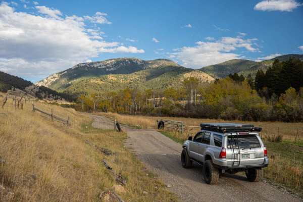
Flathead Pass
Flathead Pass is a short and sweet, easy trail filled with great views, a few off-camber sections, and some small to medium washouts. The trail starts after turning off Rocky Mountain Road and onto Flathead Pass Road. At first, it may seem like you are driving through a private ranch, but shortly af...
Learn more about Flathead Pass
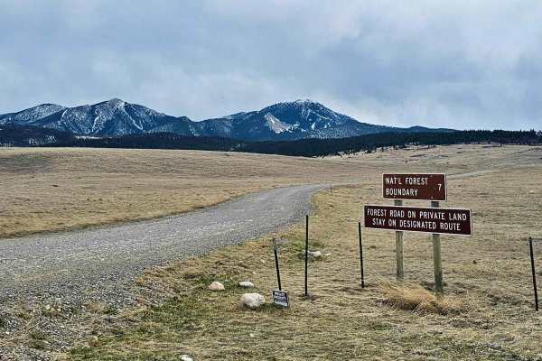
Livingston Peak Road
The trailhead is located just minutes from the historic downtown of Livingston, with plenty of opportunities to get fuel and other supplies. The trailhead is also roughly 29 miles from Chico Hot Springs and Resort. The trail consists mostly of gravel but does degrade into a dirt road toward the top ...
Learn more about Livingston Peak Road
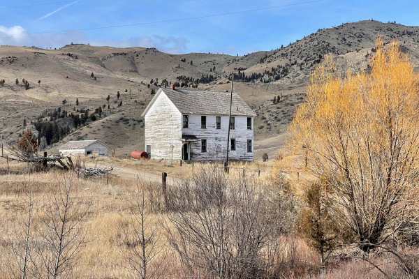
Dry Creek Road
Point-to-point, moderately traveled road north of Belgrade in the Gallatin Valley. Maintained dirt and gravel surface, typically two vehicles wide. Should not require 4WD in dry conditions. Expect muddy conditions when wet, and some drifting snow over the road in winter. If starting from the south, ...
Learn more about Dry Creek Road
The onX Offroad Difference
onX Offroad combines trail photos, descriptions, difficulty ratings, width restrictions, seasonality, and more in a user-friendly interface. Available on all devices, with offline access and full compatibility with CarPlay and Android Auto. Discover what you're missing today!
Open Trail Map