Trail Overview
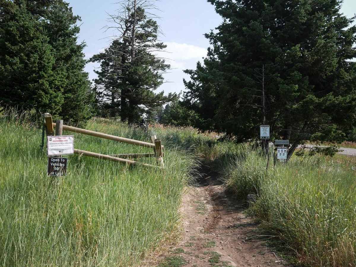
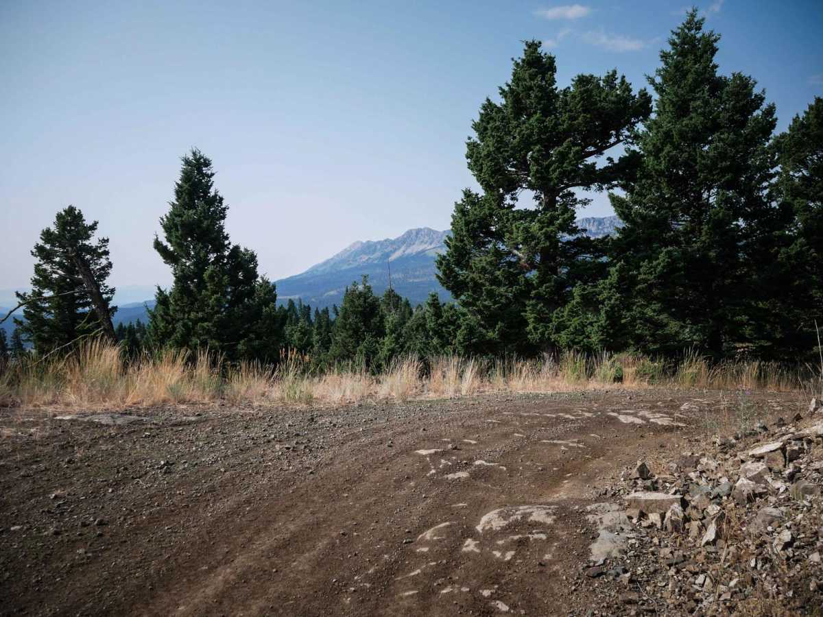
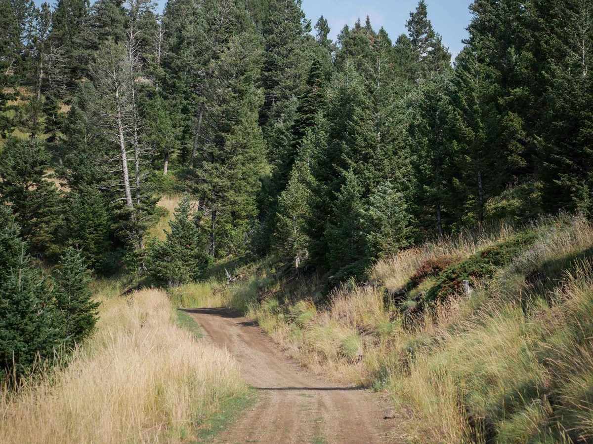
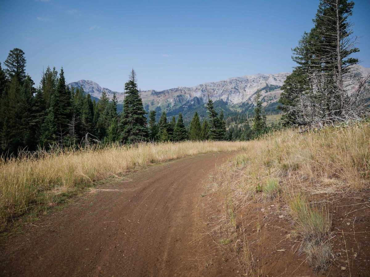
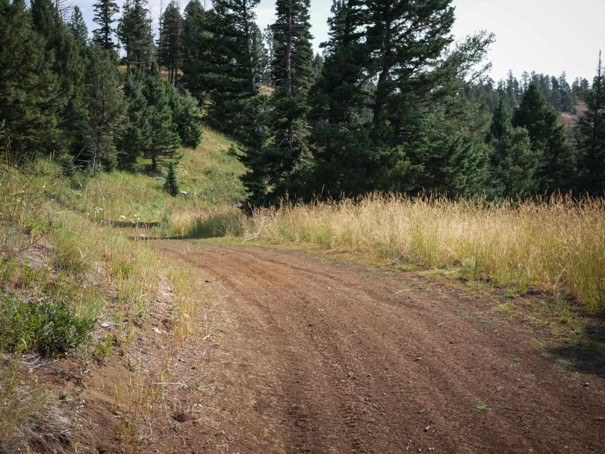
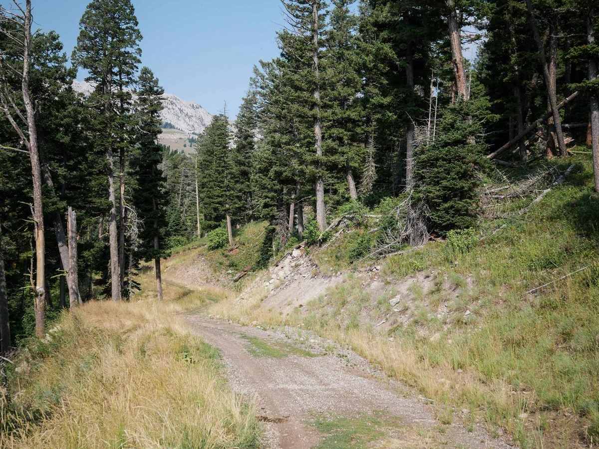
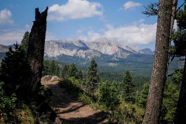
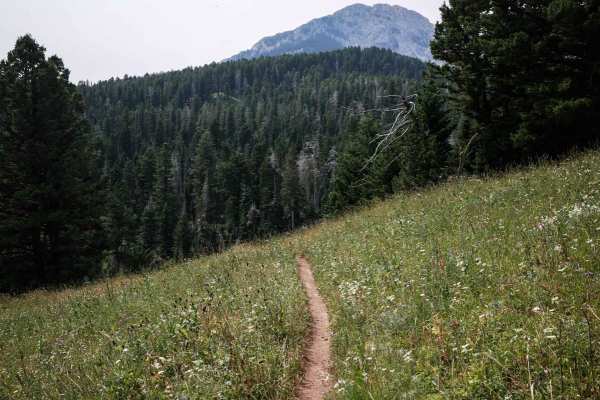
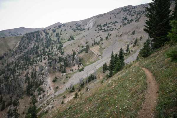
Fairy Creek is an ATV Trail for vehicles 50" or less. It's also a snowmobile path after December 2. It leaves from the Battle Ridge dirt parking lot on the west side of Highway 86 and starts out as a wide, smooth, dirt path lined with tall grass and white fir trees. It has wide-open views through the trees of the stunning Bridger Range. It's curvy along a shelf of a mountainside in the beginning, but later goes through wide open meadows and flat valleys, and over wooden bridges. The northern half gets a bit rockier, with small embedded rocks, and small loose rocks. Watch out for ruts, mud, and loose rolling rocks, but it's overall pretty easy for the entire 9.5 miles. The first 7 miles of the trail is a gradual ascent towards Fairy Lake, with the last couple miles being a gradual downhill. At 7.3 miles the trail crosses the short nonmotorized trail 501 that will take you to the lake. Fairy Creek Trail is open to motorized use from 6/16 - 10/14.
Difficulty
Fairy Creek No. 500 is an easy ATV trail that is mostly easy for the entire route but does have some mildly rockier sections with embedded and loose rock. There are no significant obstacles, but the length of the trail does make it a bit more of an effort to get through all the rocky sections.