
Dirt Bike Trails
Near Williamsville, Missouri
Explore All Dirt Bike Trails Near Williamsville, Missouri
Dirt Bike Trails Near Williamsville, Missouri
Discover the best dirt bike trails near you. Browse trail maps, check difficulty ratings, and find your next adventure — whether you're looking for a quick ride or an all-day expedition.
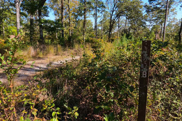
Miller Creek - FS 3750B
Miller Creek (FS 3750B) is a dirt and gravel forest service road within the Poplar Bluff Unit of Mark Twain National Forest, and is seasonally open from 6/1 to 3/14 yearly. Miller Creek leaves the ridge top along the western end of the High Ridge FS 3750, heading south downhill going over mild erosi...
Learn more about Miller Creek - FS 3750B
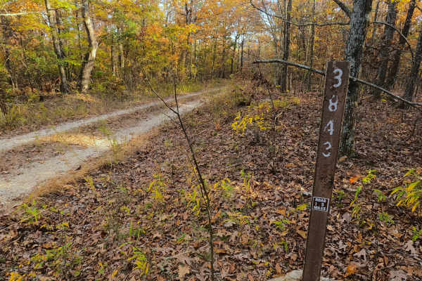
Tango - FS 3843B
Tango (FS 3843B) is a semi-maintained gravel Forest Service road within the Poplar Bluff Unit of Mark Twain National Forest. Tango takes off from the Foxtrot (FS 3843) heading south towards the Otter Creek valley to the south. The road consists of dropping down some moderate grades, over natural coa...
Learn more about Tango - FS 3843B
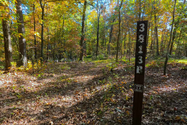
Prospect B - FS 3813B
Prospect B (FS 3813B) is a low-standard natural gravel and dirt forest service road within the Poplar Bluff Unit of Mark Twain National Forest. The road heads south from the New Prospect (FS 3813), featuring mild grade changes, as the road surface fades quickly from maintained gravel into natural co...
Learn more about Prospect B - FS 3813B
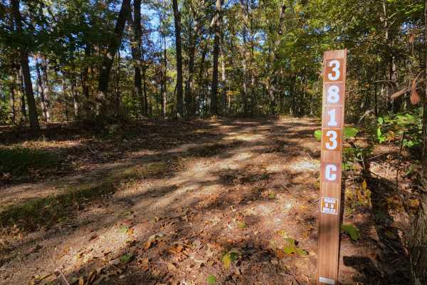
Prospect C - FS 3813C
Prospect C (FS 3813C) is a low-standard natural gravel and dirt forest service road, within the Poplar Bluff Unit of Mark Twain National Forest. The road begins at the intersection with the New Prospect FS 3813 and Prospect B (FS 3813B), where Prospect C continues eastward, gradually going downhill,...
Learn more about Prospect C - FS 3813C
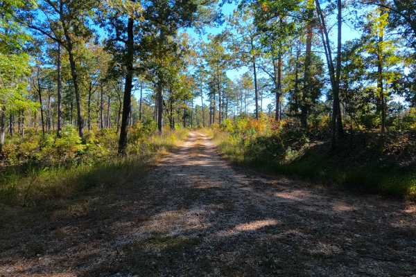
High Ridge - FS 3750
High Ridge (FS 3750) is a semi-maintained gravel forest service road within the Poplar Bluff Unit of Mark Twain National Forest, with seasonal open dates of 6-1 to 3-14 yearly. The High Ridge Road begins leaving the Wayne County Road 426, heading east past a closure gate, onto the ridge road, lined ...
Learn more about High Ridge - FS 3750
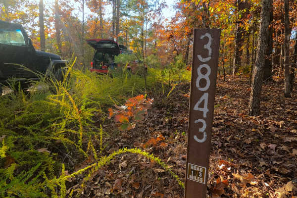
Fox Trot - FS 3843
Fox Trot (FS 3843) is a semi-maintained gravel Forest Service road within the Poplar Bluff Unit of Mark Twain National Forest. Fox Trot takes off from the Wayne County 403 heading west towards the Otter Creek Valley, following the small elevation changes of the lower spines of the ridge, passing by ...
Learn more about Fox Trot - FS 3843
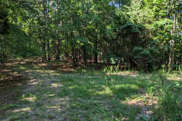
East Kelly Ridge
East Kelly Ridge, designated as Forest Service Road 3077 branching off from Kelly Ridge, offers a journey through well-maintained gravel paths. In the summer, parts of the trail may be partially obscured by tall grass growth. Expect narrow sections along the route that may leave pinstripes on vehicl...
Learn more about East Kelly Ridge
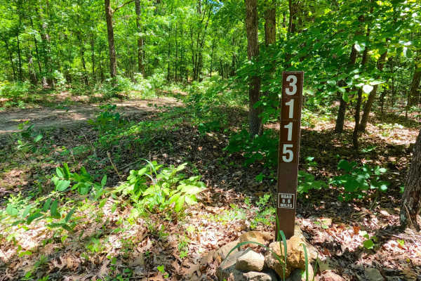
Bunny Hop - FS 3115
Bunny Hop (FS 3115) is a natural dirt terrain forest service road within the Poplar Bluff Unit of Mark Twain National Forest. Starting from the County Road 412 heading south, the road wastes no time showing its condition, being a well-beaten dirt road with ruts and erosion within the main path of th...
Learn more about Bunny Hop - FS 3115
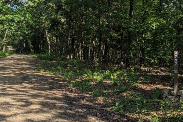
Little Brushy Ridge
Little Brushy Ridge (FSR 3797) is a forest service road branching off Kelly Ridge (FSR 3075). Initially, it is a well-maintained gravel road for the first 3/4 of the trail, suitable for all vehicle types without concern. At this point, an open area appears where the trail veers to the right. This ar...
Learn more about Little Brushy Ridge

Breeze Tower Spur A - FS 3113A
Breeze Tower Spur A (FS 3113A) is a natural gravel and dirt road within the Poplar Bluff Unit of Mark Twain National Forest. Starting from the Breeze Tower (FS 3113), heading north, the road starts with a small section of mudholes before coming back to a gravel surface, heading to the former Breeze ...
Learn more about Breeze Tower Spur A - FS 3113A
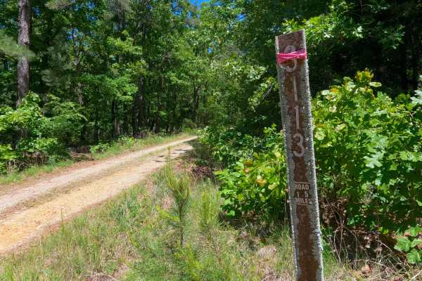
Breeze Tower - FS 3113
Breeze Tower (FS 3113) is a dirt and gravel Forest Service road within the Poplar Bluff Unit of Mark Twain National Forest. Starting from the County Road 415 heading north, passing an entry marked by large natural rocks poking out of the surface, before climbing slightly uphill to the point where it...
Learn more about Breeze Tower - FS 3113
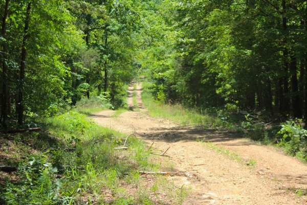
Shiloh School - FS 3114
Shiloh School (FS 3114) is a dirt and natural gravel forest service road within the Poplar Bluff Unit of Mark Twain National Forest. Starting from the Butler County Road 412, the Shiloh School heads north, immediately down the first eroded hill with exposed natural rock and loose cobbles, into the v...
Learn more about Shiloh School - FS 3114

VICTORY SCHOOL (FS 3117)
This is a smooth, well-maintained gravel road until 1.25 miles in then slightly rougher with a few small washouts. The trail is a dead-end trail but has a good turnaround point and would be a good place to camp overnight. There may be hunters in the area during the hunting season in fall and spring.
Learn more about VICTORY SCHOOL (FS 3117)

SOUTH GOOSE (FS3116)
This is a nice single-lane, maintained gravel road. The trail has a small creek crossing with some good views. This trail is closed from 3/15-5/31 for the spring turkey season. It is walk in only for those dates. It has a nice turn around along with a great camping spot at the end of the trail.
Learn more about SOUTH GOOSE (FS3116)
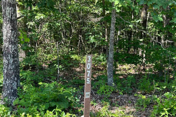
Kelly Ridge- FSR 3075
Kelly Ridge, located within the Mark Twain National Forest, is Forest Service Road 3075 located off Highway A, between Williamsville and Ellsinore. This scenic off-road trail predominantly consists of gravel and is generally well-maintained. While there are a couple of small washouts along the route...
Learn more about Kelly Ridge- FSR 3075
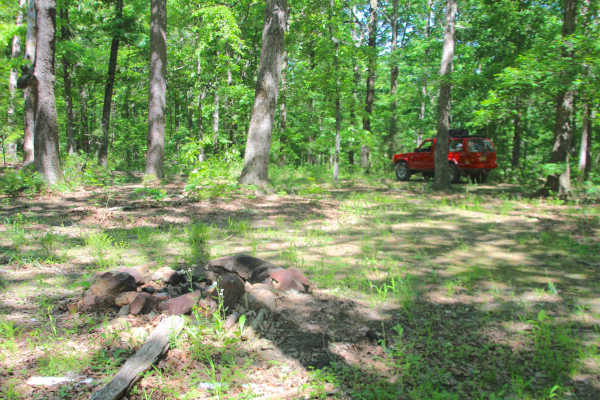
Bluegrass - FS 3528
Bluegrass (FS 3528) is a gravel and dirt forest service road within the Poplar Bluff Unit of Mark Twain National Forest. Starting from the intersection with Grassy Hollow FS 3714, from here Bluegrass heads northeast on the ridge top, crossing a few water collection holes, before coming to an opening...
Learn more about Bluegrass - FS 3528
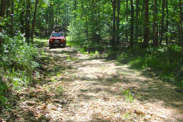
Grassy Hollow - FS 3714
Grassy Hollow (FS 3714) is a natural gravel and dirt forest service road within the Poplar Bluff Unit of Mark Twain National Forest. Starting from County Road 415, heading east into the dense forest, going down into the valley bottom, crossing a small creek with large cobbles and natural rock, to cl...
Learn more about Grassy Hollow - FS 3714
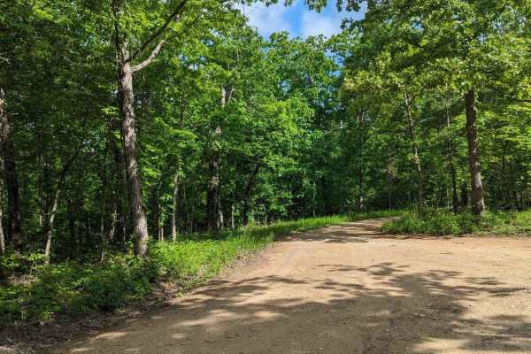
FSR 3136- Brown's Ridge
FSR 3136 is a well-maintained Forest Service road with a gravel surface. This trail winds through the dense forest and offers the chance to see wildlife such as deer, turkey, turtles, etc. At the end of this trail, there is an open area large enough for 1-2 vehicles to camp. The trail is easy enough...
Learn more about FSR 3136- Brown's Ridge
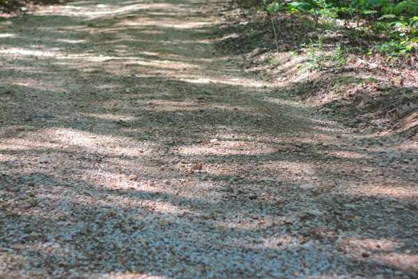
Bradley Ridge - FS 3521
Bradley Ridge (FS 3521) is a gravel and dirt forest service road within the Poplar Bluff Unit of Mark Twain National Forest. Starting from the Bear Creek FS 3715, the Bradley Ridge forks to the left and would appear as the road that continued from where it began at US-60, but is actually a new road,...
Learn more about Bradley Ridge - FS 3521
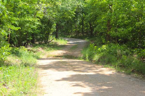
Malady Hollow - FS 3776
Malady Hollow (FS 3776) is a gravel and dirt forest service road within the Poplar Bluff Unit of Mark Twain National Forest. Starting from the eastbound lanes of US-60, the road heads south, climbing a right-of-way hillside along the highway, to level out before dropping down a hill into the valley ...
Learn more about Malady Hollow - FS 3776
ATV trails near Williamsville, Missouri
Explore ATV-friendly trails near you. These trails are accessible for vehicles up to 50 inches wide, perfect for ATVs and smaller off-road machines.
Miller Creek - FS 3750B
Miller Creek (FS 3750B) is a dirt and gravel forest service road within the Poplar Bluff Unit of Mark Twain National Forest, and is seasonally open from 6/1 to 3/14 yearly. Miller Creek leaves the ridge top along the western end of the High Ridge FS 3750, heading south downhill going over mild erosi...
Learn more about Miller Creek - FS 3750B
Tango - FS 3843B
Tango (FS 3843B) is a semi-maintained gravel Forest Service road within the Poplar Bluff Unit of Mark Twain National Forest. Tango takes off from the Foxtrot (FS 3843) heading south towards the Otter Creek valley to the south. The road consists of dropping down some moderate grades, over natural coa...
Learn more about Tango - FS 3843B
Prospect B - FS 3813B
Prospect B (FS 3813B) is a low-standard natural gravel and dirt forest service road within the Poplar Bluff Unit of Mark Twain National Forest. The road heads south from the New Prospect (FS 3813), featuring mild grade changes, as the road surface fades quickly from maintained gravel into natural co...
Learn more about Prospect B - FS 3813B
Prospect C - FS 3813C
Prospect C (FS 3813C) is a low-standard natural gravel and dirt forest service road, within the Poplar Bluff Unit of Mark Twain National Forest. The road begins at the intersection with the New Prospect FS 3813 and Prospect B (FS 3813B), where Prospect C continues eastward, gradually going downhill,...
Learn more about Prospect C - FS 3813C
UTV/side-by-side trails near Williamsville, Missouri
Find UTV and side-by-side trails near you. These trails accommodate vehicles up to 60 inches wide, ideal for UTVs, side-by-sides, and wider off-road rigs.
Miller Creek - FS 3750B
Miller Creek (FS 3750B) is a dirt and gravel forest service road within the Poplar Bluff Unit of Mark Twain National Forest, and is seasonally open from 6/1 to 3/14 yearly. Miller Creek leaves the ridge top along the western end of the High Ridge FS 3750, heading south downhill going over mild erosi...
Learn more about Miller Creek - FS 3750B
Tango - FS 3843B
Tango (FS 3843B) is a semi-maintained gravel Forest Service road within the Poplar Bluff Unit of Mark Twain National Forest. Tango takes off from the Foxtrot (FS 3843) heading south towards the Otter Creek valley to the south. The road consists of dropping down some moderate grades, over natural coa...
Learn more about Tango - FS 3843B
Prospect B - FS 3813B
Prospect B (FS 3813B) is a low-standard natural gravel and dirt forest service road within the Poplar Bluff Unit of Mark Twain National Forest. The road heads south from the New Prospect (FS 3813), featuring mild grade changes, as the road surface fades quickly from maintained gravel into natural co...
Learn more about Prospect B - FS 3813B
Prospect C - FS 3813C
Prospect C (FS 3813C) is a low-standard natural gravel and dirt forest service road, within the Poplar Bluff Unit of Mark Twain National Forest. The road begins at the intersection with the New Prospect FS 3813 and Prospect B (FS 3813B), where Prospect C continues eastward, gradually going downhill,...
Learn more about Prospect C - FS 3813C
The onX Offroad Difference
onX Offroad combines trail photos, descriptions, difficulty ratings, width restrictions, seasonality, and more in a user-friendly interface. Available on all devices, with offline access and full compatibility with CarPlay and Android Auto. Discover what you're missing today!
Open Trail Map