
Dirt Bike Trails
Near Wilburn, Arkansas
Explore All Dirt Bike Trails Near Wilburn, Arkansas
Dirt Bike Trails Near Wilburn, Arkansas
Discover the best dirt bike trails near you. Browse trail maps, check difficulty ratings, and find your next adventure — whether you're looking for a quick ride or an all-day expedition.
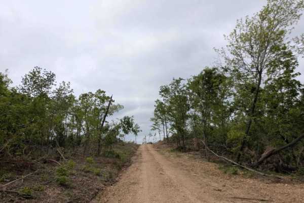
1113
This trail begins as a relatively wide and well-maintained road but gradually narrows and becomes bumpier and rockier as you continue. The trail winds through beautiful old-growth forest, passing pockets of private land with cabins and mobile homes. Further along, the landscape shows extensive damag...
Learn more about 1113
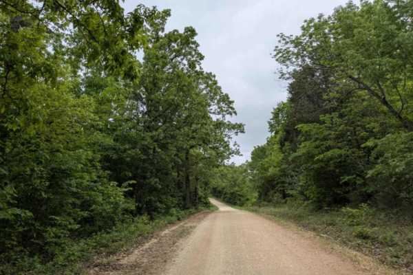
Hayden Road
Hayden Road is a maintained trail as of late April 2025, offering a scenic drive through beautiful old-growth forest. The route features relatively steep ascents and descents, with sections that can be bumpy and rocky. Several hiking and biking trails branch off from the main road, inviting further ...
Learn more about Hayden Road
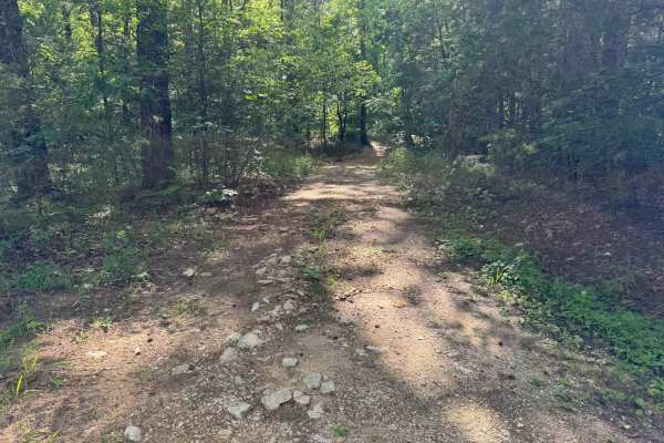
91028A
This route winds through dense Ozark forest with tight sections that close in heavily around the vehicle. Brush, branches, and narrow tree gaps are constant throughout the route, so pinstripes and paint scratches should be expected. The route features several shallow creek crossings with clear flowi...
Learn more about 91028A
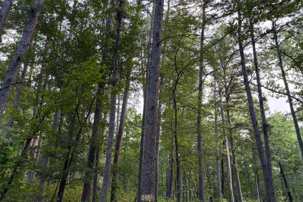
Climbers Loop - FS 91038E
Climbers loop starts off of Bee Hollow Trail and heads East going uphill on some loos/rocky terrain. You will pass a few small creek crossings that are normally dry during summer but can have some flow during heavy rain or spring and fall seasons. This terrain varries from loose small rock to sand s...
Learn more about Climbers Loop - FS 91038E
Sandy Flats
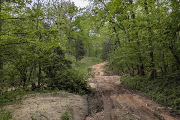
Sandy Flats is a maintained trail that shows clear signs of storm damage and features several steep ascents and descents, particularly as the route drops down into a creek. The creek crossing has a muddy bottom and no concrete bridge, which could make it challenging to navigate during or after heavy...
Learn more about Sandy Flats
1102
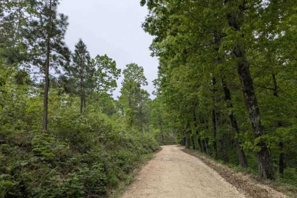
Trail 1113 is a long, winding route that passes through beautiful forest and either begins or ends near a cluster of homesteads off the paved road. The trail surface is rocky and bumpy in sections, with visible storm damage, and includes several steep ascents and descents. As one of the main trails ...
Learn more about 1102
Gunner Pool Road
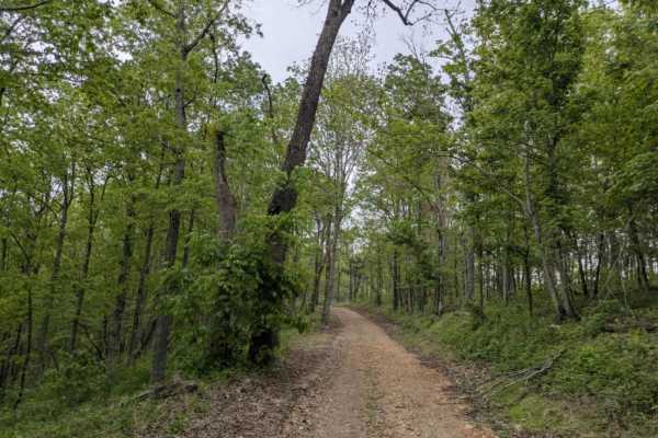
This wide and well-maintained trail descends toward the Gunner Pool Recreation Area, a scenic campground set along a river with both deep and shallow swimming areas. It is a peaceful place to camp and explore the forest during the week, although weekends can become quite busy and noisy. As one of th...
Learn more about Gunner Pool Road
Ohana Trail
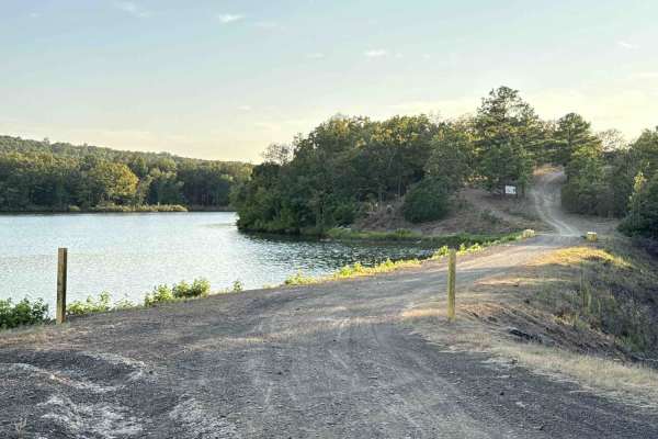
This two-track trail leads you from the park to the OHV trails area. Please go slowly near the lake until you are in the woods. At the top, there are some loose softball and football-sized rocks to watch for, but after you get down the hil,l it smooths out. One or two mud holes that are not deep. Th...
Learn more about Ohana Trail
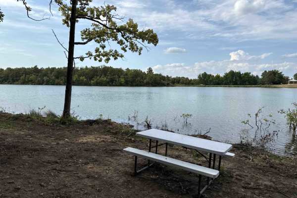
Plumeria Picnic
This smooth two track trail is used to access a scenic and secluded lakefront picnic area.
Learn more about Plumeria Picnic
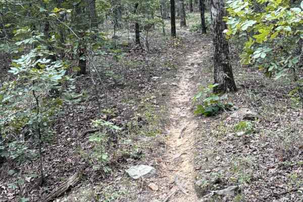
Keola Run
This fun, flowy singletrack is a great way to start the park. Mostly easy singletrack with narrow sections and rocky gardens. The rock garden hill climb toward the end will get you warmed up for the more difficult sections in other parts of the park.
Learn more about Keola Run
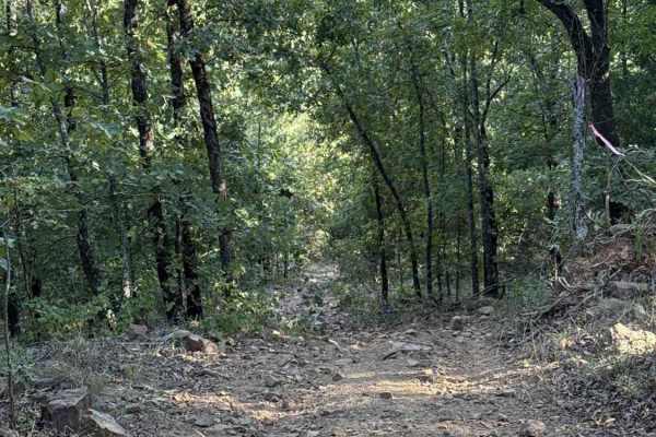
Iwa Ridge
This two-track ridge road starts near the lake and flows across the highest points of the park and ending at the west boundary. Rock gardens are common, as are steep hills with loose rocks. High point views are common when the leaves are down. Several connector trails branch off if you need to loop ...
Learn more about Iwa Ridge

Waterway Trail
Check in at the office before riding. Currently, this trail holds a lot of water when the lake rises after rain. It will remain closed except in case of emergency or in the summer when lake levels are lower and the mudholes dry up. 5ST does intersect with this trail multiple times and crossing at th...
Learn more about Waterway Trail
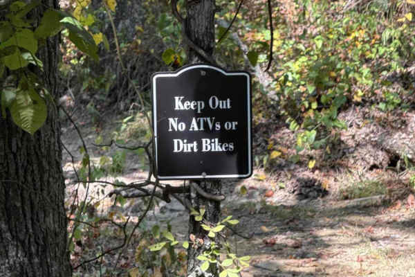
Kauai Lane
This connector from Mana Ridge to Ohana Trail offers access to several singletrack trails. This trail has some mild hills with ruts and loose rocks. It's a great spot to kick up the speed and knock the dirt off. At the east end, there is a closed trail heading to a part of the park that is under con...
Learn more about Kauai Lane
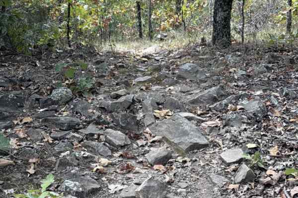
Koa Trail
This trail begins to up the rock level and the slope angle. You'll encounter several rock gardens, some with ledges under 18". You'll find the hill to be loose rock and dirt similar to other parts of the park. If you started on Keola Run, this will be a descent.
Learn more about Koa Trail
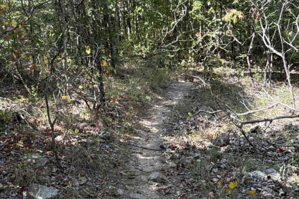
Pineapple Express
This fun, flowy singletrack connects Ohana Trail up to Mana Ridge. It maintains a smooth and gradual flow across mild slopes and shallow, seasonal water crossings. The eastern terminus of the trail is near a closed section of the park. Continue on Mana Ridge to other trails.
Learn more about Pineapple Express
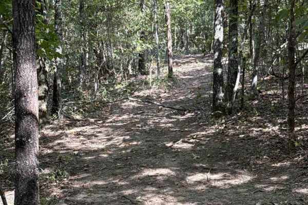
Nalu Run
Use this smooth two-track trail to avoid seasonal mud holes and flooding on Ohana Trail.
Learn more about Nalu Run
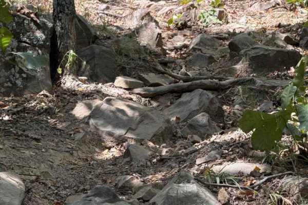
Pele's Fury
This trail puts you on the steep, rocky, gnarly hill climb multiple times and includes the largest single obstacle in the park - a 30-inch rock ledge that is very fun to drop off of or climb up. It crosses the Ohana Trail multiple times in case you need to bail out.
Learn more about Pele's Fury
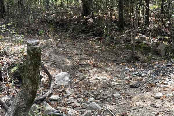
Kane's Spring
This is a very fun way to connect Iwa Ridge to Bamboo Bend. It includes a seasonal water crossing and a steep hill climb with large rocks and loose soil. 4WD is required as this hill is straightforward yet loose and rough. Potential for scenic views at the top when the leaves are down.
Learn more about Kane's Spring
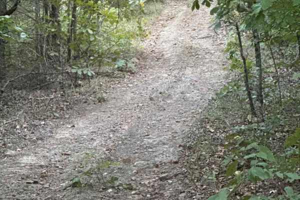
Hibiscus Hollow
This smooth connector trail includes an easy slope as the trail winds between Mana Ridge and Ohana Trail. Expect a mostly smooth trail with the occasional loose rock. Be on the lookout for dirt bikes, as there is a single-track intersection about halfway through the trail.
Learn more about Hibiscus Hollow
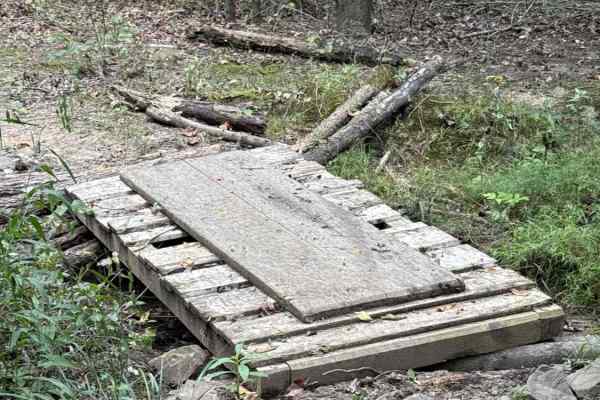
Honu Crossing
This trail jumps into a lowland area of the park where you'll find seasonal mud and water crossings, but overall is a reprieve from the rocky hillside nearby. There's even a bridge to help keep you out of the mud. Take a deep breath here as the nearby trails start to get serious on the hillside.
Learn more about Honu Crossing
ATV trails near Wilburn, Arkansas
Explore ATV-friendly trails near you. These trails are accessible for vehicles up to 50 inches wide, perfect for ATVs and smaller off-road machines.
1113
This trail begins as a relatively wide and well-maintained road but gradually narrows and becomes bumpier and rockier as you continue. The trail winds through beautiful old-growth forest, passing pockets of private land with cabins and mobile homes. Further along, the landscape shows extensive damag...
Learn more about 1113
Hayden Road
Hayden Road is a maintained trail as of late April 2025, offering a scenic drive through beautiful old-growth forest. The route features relatively steep ascents and descents, with sections that can be bumpy and rocky. Several hiking and biking trails branch off from the main road, inviting further ...
Learn more about Hayden Road
91028A
This route winds through dense Ozark forest with tight sections that close in heavily around the vehicle. Brush, branches, and narrow tree gaps are constant throughout the route, so pinstripes and paint scratches should be expected. The route features several shallow creek crossings with clear flowi...
Learn more about 91028A
Climbers Loop - FS 91038E
Climbers loop starts off of Bee Hollow Trail and heads East going uphill on some loos/rocky terrain. You will pass a few small creek crossings that are normally dry during summer but can have some flow during heavy rain or spring and fall seasons. This terrain varries from loose small rock to sand s...
Learn more about Climbers Loop - FS 91038E
UTV/side-by-side trails near Wilburn, Arkansas
Find UTV and side-by-side trails near you. These trails accommodate vehicles up to 60 inches wide, ideal for UTVs, side-by-sides, and wider off-road rigs.
1113
This trail begins as a relatively wide and well-maintained road but gradually narrows and becomes bumpier and rockier as you continue. The trail winds through beautiful old-growth forest, passing pockets of private land with cabins and mobile homes. Further along, the landscape shows extensive damag...
Learn more about 1113
Hayden Road
Hayden Road is a maintained trail as of late April 2025, offering a scenic drive through beautiful old-growth forest. The route features relatively steep ascents and descents, with sections that can be bumpy and rocky. Several hiking and biking trails branch off from the main road, inviting further ...
Learn more about Hayden Road
91028A
This route winds through dense Ozark forest with tight sections that close in heavily around the vehicle. Brush, branches, and narrow tree gaps are constant throughout the route, so pinstripes and paint scratches should be expected. The route features several shallow creek crossings with clear flowi...
Learn more about 91028A
Climbers Loop - FS 91038E
Climbers loop starts off of Bee Hollow Trail and heads East going uphill on some loos/rocky terrain. You will pass a few small creek crossings that are normally dry during summer but can have some flow during heavy rain or spring and fall seasons. This terrain varries from loose small rock to sand s...
Learn more about Climbers Loop - FS 91038E
The onX Offroad Difference
onX Offroad combines trail photos, descriptions, difficulty ratings, width restrictions, seasonality, and more in a user-friendly interface. Available on all devices, with offline access and full compatibility with CarPlay and Android Auto. Discover what you're missing today!
Open Trail Map