
Dirt Bike Trails
Near West Yellowstone, Montana
Explore All Dirt Bike Trails Near West Yellowstone, Montana
Dirt Bike Trails Near West Yellowstone, Montana
Discover the best dirt bike trails near you. Browse trail maps, check difficulty ratings, and find your next adventure — whether you're looking for a quick ride or an all-day expedition.
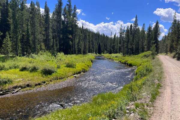
South Fork Madison Road (478)
This is a well-maintained Forest Service Road that joins Highway 20 just west of West Yellowstone and runs to the Idaho Border. At Reas Pass, you can explore Two Tops if your machine is 50 inches or less. There is also a restroom facility at this point. For those who enjoy biking or hiking, there is...
Learn more about South Fork Madison Road (478)
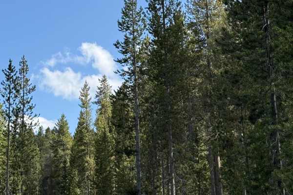
Frog Pond Road
A simple, short trail with some beautiful views overlooking the Yellowstone Valley at times. Lots of water bars, some short, simple, steep grades. The road narrows as you get onto the trail. It would be difficult to pass in some areas. There are a few areas of rocks and some short areas of trail tha...
Learn more about Frog Pond Road
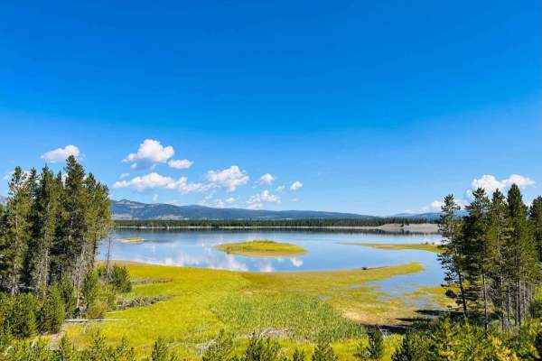
Madison Arm
This broad, well-maintained dirt and gravel trail runs along Hegben Lake. It can be accessed from Highway 191 and Highway 20 just outside the town of West Yellowstone. The Madison Arm Resort Camp and Marina is at the halfway point on this trail and appears to be the reason this trail is so well main...
Learn more about Madison Arm
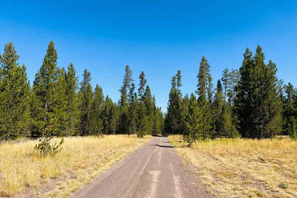
Stage Trail
This is a fun twisty 4x4 trail through the trees. It runs from the beginning of the Madison Arm Trail off Highway 20 and links back up with the Madison Arm Trail near some seasonal Forest Service cabins on Stoddard Point. This trail can get pretty muddy and has lots of significant dips and puddles t...
Learn more about Stage Trail
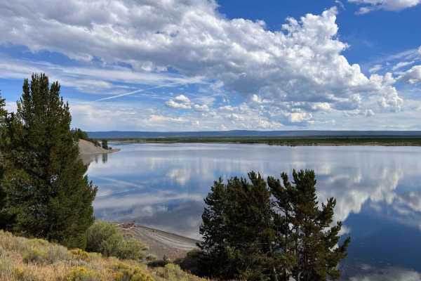
Whisky Bay Trail
Whisky Bay Trail is a scenic, 4.3-mile off-road route along the northern shore of Hebgen Lake's Madison Arm, offering excellent day-use waterfront access and secluded lake views for high-clearance four-wheel-drive vehicles and SxSs. This slow-going trail features a mix of dirt and packed sand, but d...
Learn more about Whisky Bay Trail
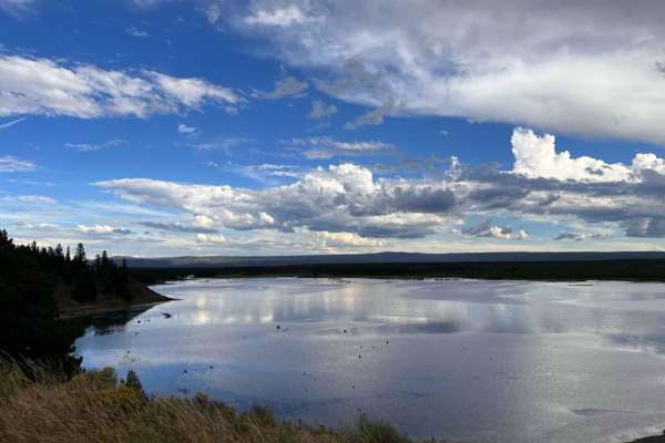
Whisky Bay Day Use 1
Whisky Bay Day Use 1 is a scenic, easy-going lakeside trail along Hebgen Lake that is perfect for offroaders, SxSs, and high-clearance four-wheel-drive vehicles looking for a quiet afternoon on the water. Spanning approximately 1.5 miles with a virtually flat profile hovering around 6,600 feet, this...
Learn more about Whisky Bay Day Use 1
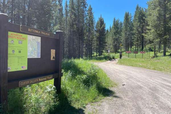
Buttermilk Creek Trail
Buttermilk Creek Trail is a scenic, 2.6-mile, 50-inch two-track route near West Yellowstone, Montana, offering an accessible off-road adventure through dense tree cover and open valleys for riders of OHVs and dirt bikes. Beginning right off Highway 20 near Targhee Pass, this route climbs from an ele...
Learn more about Buttermilk Creek Trail
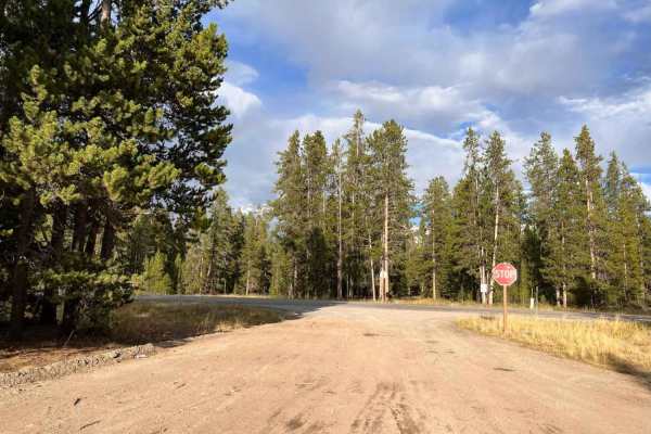
Cougar C Trail
This is a nice connection trail between Highway 191 and the Whisky Bay trail. It is a broad, well-maintained dirt and gravel trail primarily through tall trees. It's longer but much smoother than the whisky bay trail. If you're looking to get to the second-day use area off the whisky bay trail but w...
Learn more about Cougar C Trail
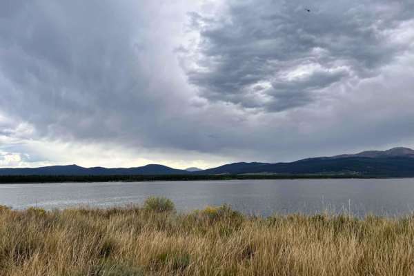
Whisky Bay Day Use 2
This easy, scenic spur trail along the forested shores of Hebgen Lake is perfect for recreational offroaders and SxSs seeking a quiet afternoon with panoramic ridge-line views of the water. Spanning just over 1.1 miles with minimal elevation change, this route branches off the main Whisky Bay trail ...
Learn more about Whisky Bay Day Use 2
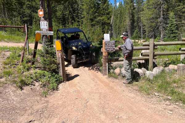
Slab Pile Road (1727)
This is a short side trail that leads to the 50-inch gate that you must traverse to get up to Two Tops. This road is not restricted and is a fun little adventure. You will travel along a tree-lined forest road. This is a two-lane maintained Forest Service road with a bathroom at the trail junction. ...
Learn more about Slab Pile Road (1727)
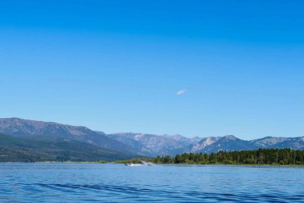
Stoddard Point
This is an easy out-and-back offshoot trail through some seasonal Forest Service cabins off the main Madison Arm Trail. Follow the onX track carefully and obey all signs;there are lots of dirt roads that lead off to cabins, and it can be a bit confusing mid-way along the trail. The beauty of taking ...
Learn more about Stoddard Point
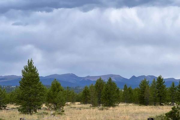
Rainbow Point
Rainbow Point is an easy, family-friendly trail perfect for beginners, scenic cruisers, and those looking for a direct route between the campground and the shoreline of Hebgen Lake. This 2.7-mile trail features a flat, wide dirt surface with minimal elevation change, staying around 6,550 feet, makin...
Learn more about Rainbow Point
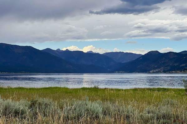
Horse Butte Lake Trail
In the West Yellowstone area and looking for something outside the park to do? How about a lake day? This is a primarily easy dirt trail with quite a few day-use areas on Hegben Lake. Some of the pull-offs are relatively private, with access right down to the water. The further along the trail you e...
Learn more about Horse Butte Lake Trail
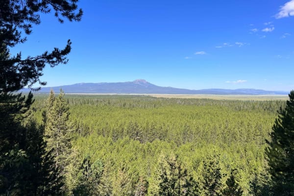
Continental Divide National Scenic Trail (20001) (Partial)
This route is a fun trail that follows the old Railroad Right-of-Way. Take the time to read the signs along the way that describe the large trestle that was built to span an elevated area, as they are interesting and you realize how high this trestle was. To the west, you will also encounter some be...
Learn more about Continental Divide National Scenic Trail (20001) (Partial)
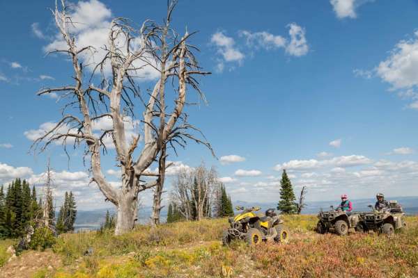
Lionhead
The Lionhead ATV Trail is an exceptional, moderately challenging ride designed specifically for riders of ATVs, dirt bikes, and narrow SxSs under 50 inches in width, offering breathtaking panoramic views of the Hebgen Lake basin and the surrounding Rocky Mountains. Starting near Targhee Pass on High...
Learn more about Lionhead
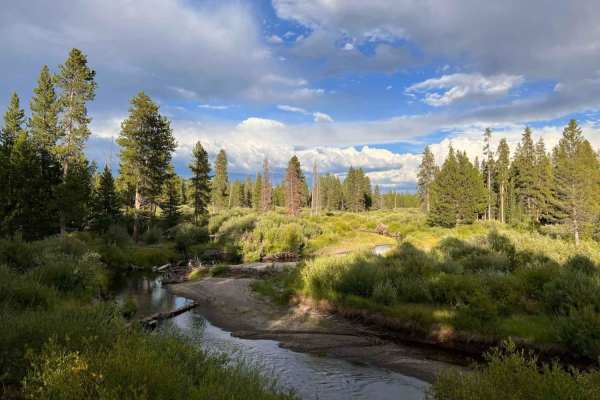
Cougar Cr Park Boundary
If you want to experience a little Yellowstone but are not planning on going to the park, this trail has a few hidden gems. It is a day-use area and runs right along the Yellowstone park boundary. There are a couple of day-use pull-offs at scenic spots, and you do have to drive down them to enjoy th...
Learn more about Cougar Cr Park Boundary
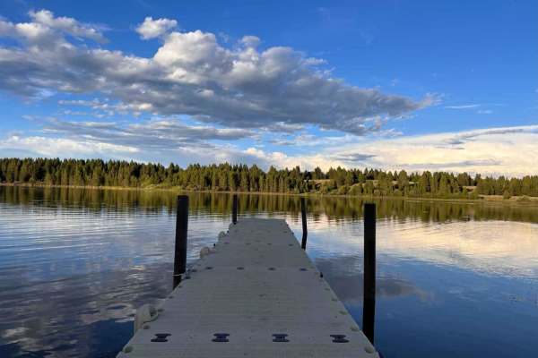
Hegben Lake Trail
This wide, well-maintained gravel and dirt trail runs along Hegben Lake. Some sections of the trail have a bit of bumpy washboard. Most lake access is from established campgrounds and designated dispersed camping areas. Most of the trail runs along the lake but above it in the trees. The best views ...
Learn more about Hegben Lake Trail
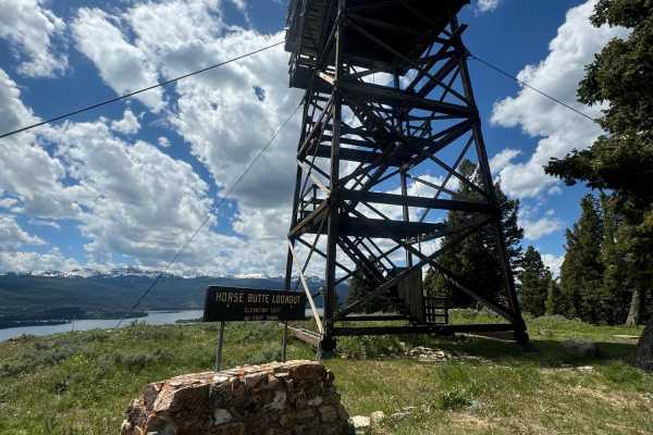
Horse Butte Fire Lookout Road
This trail is left from West Yellowstone on US Highway 191 going north. You'll turn left onto Rainbow Point Road/US Forest Road 610 and then left onto House Butte Road. There is a turn-off on the right for Horse Butte Lookout Road. The dirt road is passable for most SUVs when it's dry. It's probably...
Learn more about Horse Butte Fire Lookout Road
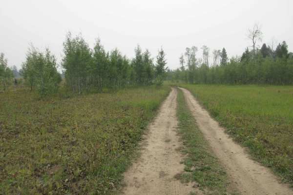
Garner Canyon
This is a short, fun adventure through a small mountain meadow and tree-lined trails. This is a great place to take a family hike, enjoy a peaceful picnic lunch and take in the beauty of the forest and the surrounding area. The trail is primarily two-track. The Two Tops Mountain is directly uphill f...
Learn more about Garner Canyon
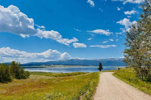
Whits Lake Trail
This is a beautiful dirt and gravel trail that heads up to a couple of hiking trailheads. There are two designated dispersed campsites on the way up. One had an Airstream parked at it when this was run. The lower part of this trail has views out over Hegben Lake, and then the trail continues uphill ...
Learn more about Whits Lake Trail
ATV trails near West Yellowstone, Montana
Explore ATV-friendly trails near you. These trails are accessible for vehicles up to 50 inches wide, perfect for ATVs and smaller off-road machines.
South Fork Madison Road (478)
This is a well-maintained Forest Service Road that joins Highway 20 just west of West Yellowstone and runs to the Idaho Border. At Reas Pass, you can explore Two Tops if your machine is 50 inches or less. There is also a restroom facility at this point. For those who enjoy biking or hiking, there is...
Learn more about South Fork Madison Road (478)
Frog Pond Road
A simple, short trail with some beautiful views overlooking the Yellowstone Valley at times. Lots of water bars, some short, simple, steep grades. The road narrows as you get onto the trail. It would be difficult to pass in some areas. There are a few areas of rocks and some short areas of trail tha...
Learn more about Frog Pond Road
Madison Arm
This broad, well-maintained dirt and gravel trail runs along Hegben Lake. It can be accessed from Highway 191 and Highway 20 just outside the town of West Yellowstone. The Madison Arm Resort Camp and Marina is at the halfway point on this trail and appears to be the reason this trail is so well main...
Learn more about Madison Arm
Stage Trail
This is a fun twisty 4x4 trail through the trees. It runs from the beginning of the Madison Arm Trail off Highway 20 and links back up with the Madison Arm Trail near some seasonal Forest Service cabins on Stoddard Point. This trail can get pretty muddy and has lots of significant dips and puddles t...
Learn more about Stage Trail
UTV/side-by-side trails near West Yellowstone, Montana
Find UTV and side-by-side trails near you. These trails accommodate vehicles up to 60 inches wide, ideal for UTVs, side-by-sides, and wider off-road rigs.
South Fork Madison Road (478)
This is a well-maintained Forest Service Road that joins Highway 20 just west of West Yellowstone and runs to the Idaho Border. At Reas Pass, you can explore Two Tops if your machine is 50 inches or less. There is also a restroom facility at this point. For those who enjoy biking or hiking, there is...
Learn more about South Fork Madison Road (478)
Frog Pond Road
A simple, short trail with some beautiful views overlooking the Yellowstone Valley at times. Lots of water bars, some short, simple, steep grades. The road narrows as you get onto the trail. It would be difficult to pass in some areas. There are a few areas of rocks and some short areas of trail tha...
Learn more about Frog Pond Road
Madison Arm
This broad, well-maintained dirt and gravel trail runs along Hegben Lake. It can be accessed from Highway 191 and Highway 20 just outside the town of West Yellowstone. The Madison Arm Resort Camp and Marina is at the halfway point on this trail and appears to be the reason this trail is so well main...
Learn more about Madison Arm
Stage Trail
This is a fun twisty 4x4 trail through the trees. It runs from the beginning of the Madison Arm Trail off Highway 20 and links back up with the Madison Arm Trail near some seasonal Forest Service cabins on Stoddard Point. This trail can get pretty muddy and has lots of significant dips and puddles t...
Learn more about Stage Trail
The onX Offroad Difference
onX Offroad combines trail photos, descriptions, difficulty ratings, width restrictions, seasonality, and more in a user-friendly interface. Available on all devices, with offline access and full compatibility with CarPlay and Android Auto. Discover what you're missing today!
Open Trail Map