Lionhead

Total Miles13.4
Technical Rating
5Moderate
Best TimeSummer, Fall
Trail Type50" Trail
Accessible By
Open Trail Map

Trail Overview

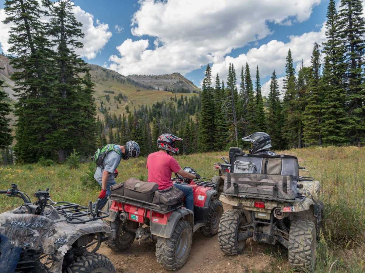
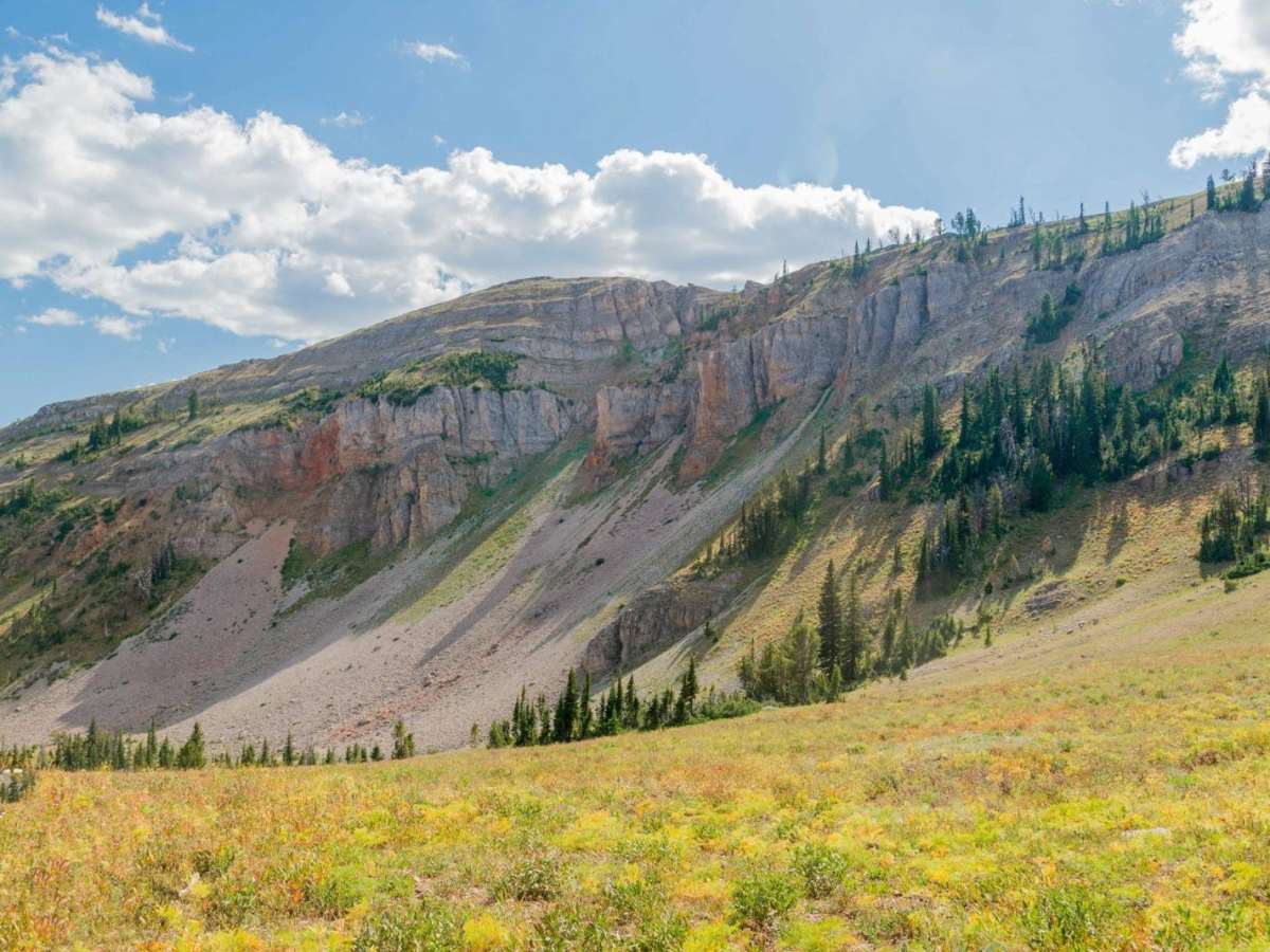
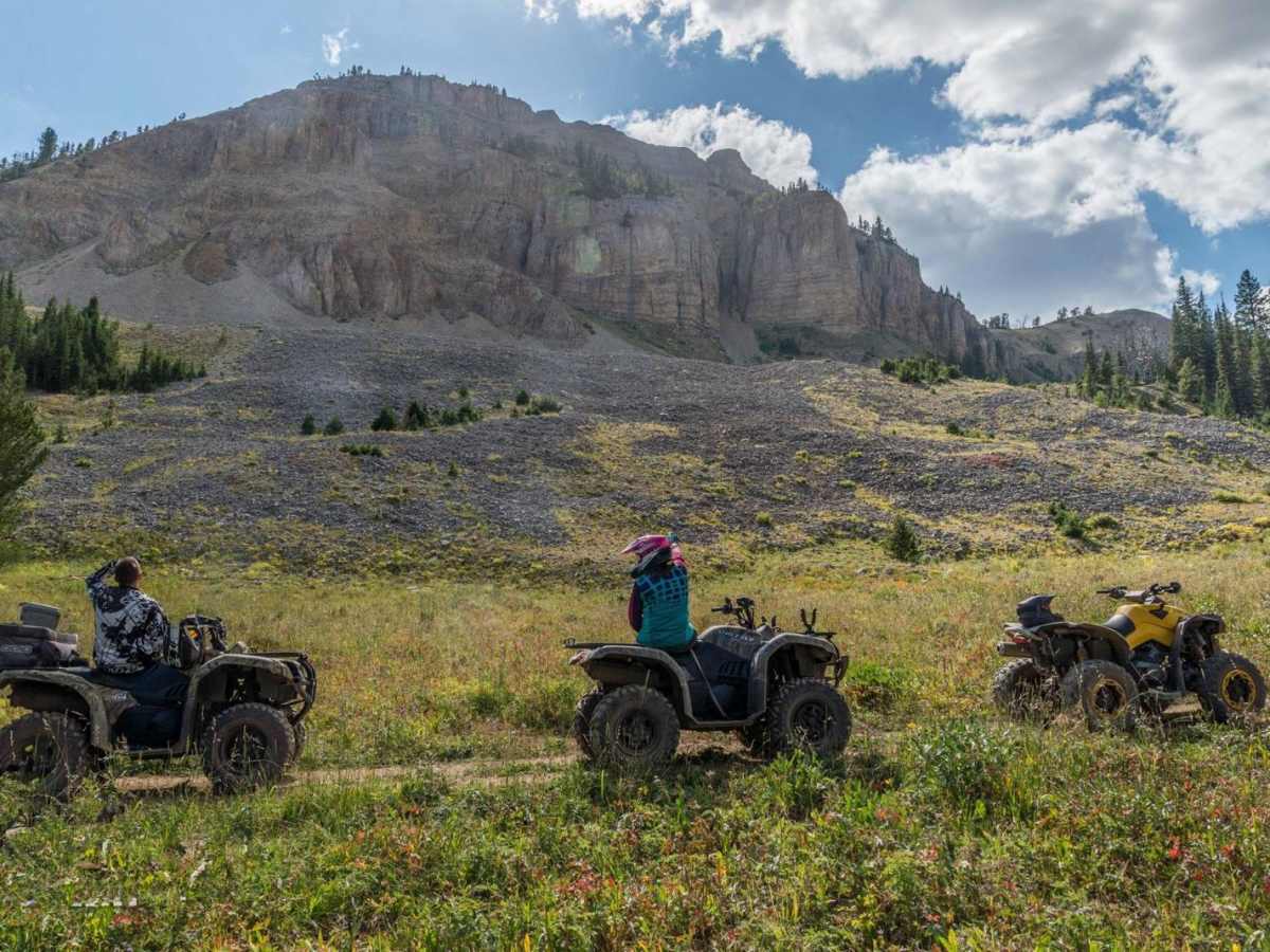
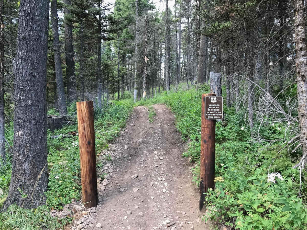
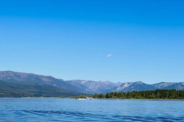
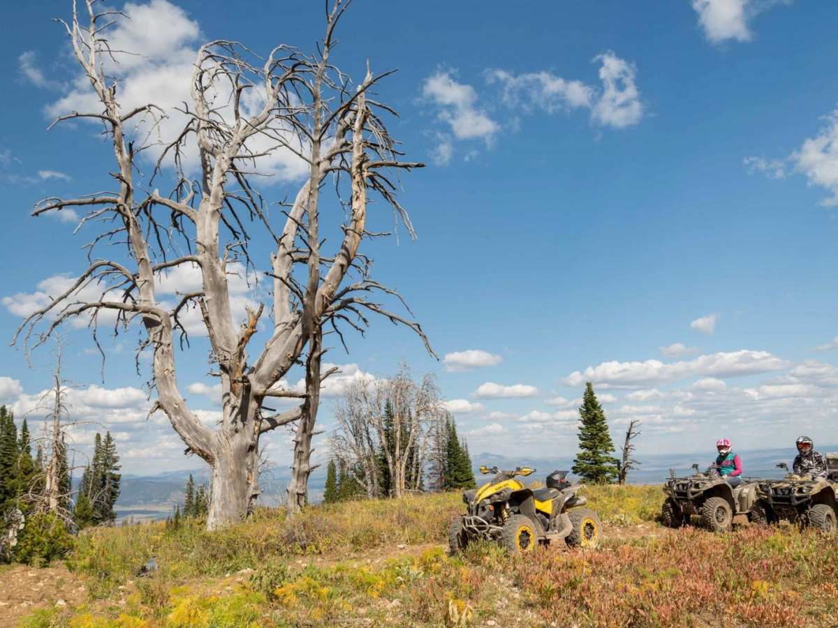
The Lionhead ATV Trail is an exceptional, moderately challenging ride designed specifically for riders of ATVs, dirt bikes, and narrow SxSs under 50 inches in width, offering breathtaking panoramic views of the Hebgen Lake basin and the surrounding Rocky Mountains. Starting near Targhee Pass on Highway 20, right on the border of Montana and Idaho, this 13.4-mile route climbs steadily from an elevation of 6,745 feet up to 8,778 feet near the towering cliffs of Lionhead Peak. Offroaders will navigate a mix of dirt, loose gravel, and rocky sections that require careful line selection, especially along the steeper switchbacks where the trail gains over 2,560 feet of cumulative elevation. Due to its technical rating of 5, a four-wheel-drive vehicle with high clearance is highly recommended to safely negotiate the occasional rock ledges and rutted climbs. Along the route, riders are treated to stunning alpine scenery, vibrant summer wildflowers, and the distinct possibility of spotting native mountain goats grazing on the high cliffs of Lionhead Peak. The trail is best ridden from late June through October, as heavy winter snows keep the route closed to wheeled vehicles and open only to snowmobiles during the winter months. For those looking to extend their adventure, the trail lies directly across US Highway 20 from the popular Two Top Trail system, allowing riders to easily combine both routes for a full-day, multi-terrain excursion. Parking is available at the trailhead off the highway, but riders should ensure their machines meet the strict 50-inch width restriction, as trail gates are actively monitored and physically limit wider vehicles.

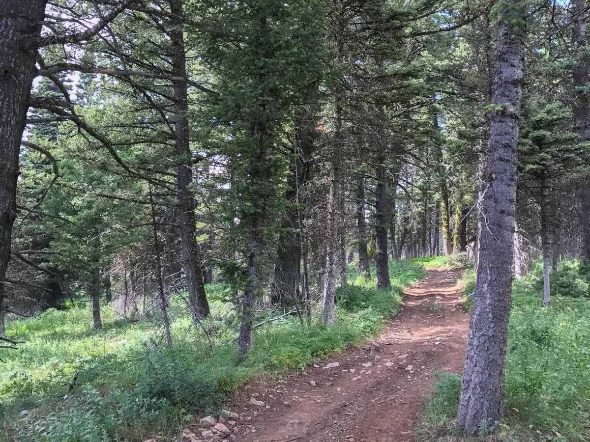
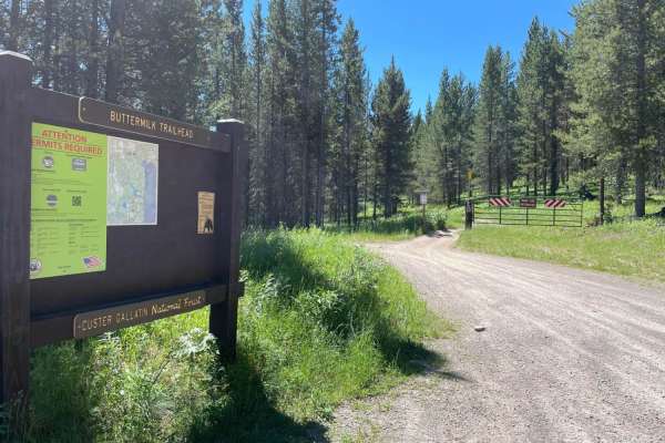
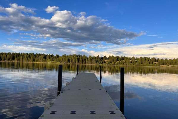
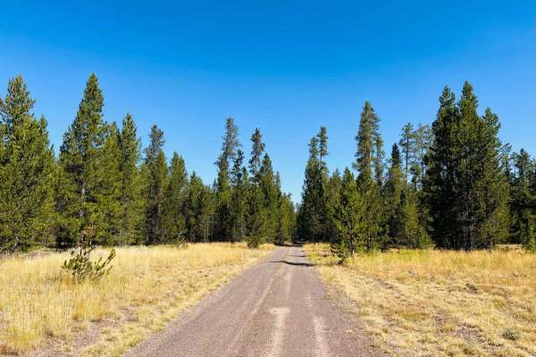
Photos of Lionhead

Technical Rating

5

Status Reports

Add Status Report
Doug Greene
Sep 05, 2025
Open
Dusty
I agree with Chad James regarding difficulty. There are some pretty tight, steep and loose switchbacks. Had to get off and walk the bike a couple times. Be sure to take some time to stop and enjoy the amazing views.
ripper dobis
Aug 07, 2025
Open
NormalDusty
No single track on this loop. Whole thing was fun and pretty easy. Did this lion loop and then crossed the highway and did the butter trail down and back in about an hour
Chad James
Jul 22, 2025
Open
Normal
This trail is rated a 5/10, and i would say that's probably accurate overall, but there are certainly 8/10 sections that make this much harder than the rating. Long story short....don't ride the Lionhead section of this route on a big bike. It's a skilled rider on a dirt bike that will enjoy this ride. Encountered side by sides who struggled with the switchbacks on this trail. Fun trail, but if you can't handle the first switchbacks, don't keep going.
Luke C
Jul 27, 2023
2021 Toyota Tacoma
Open
Normal
Tristan Carisch
Jul 19, 2023
Open
Dusty
Cj Conklin
Jun 28, 2023
Obstructed
Deep SnowDowned Tree
Tiffany Butler
Jun 02, 2023
Obstructed
Deep SnowDowned Tree
Brad Long
May 20, 2023
Obstructed
Deep Snow
Rory Edwards
Feb 22, 2023
1988 Jeep Wrangler
Seasonally Closed

Lionhead Trail can be accessed by the following ride types:

  • Single Track
  • 50 Inch

Access Description

A strict 50-inch vehicle width limit is enforced by physical gates at the trailhead. An OHV permit is required for Montana or Idaho depending on where the vehicle is registered. The trail is open to wheeled vehicles in the summer and fall before closing for winter snowmobile use.

Lionhead Map

The onX Offroad Difference

onX Offroad combines trail photos, descriptions, difficulty ratings, width restrictions, seasonality, and more in a user-friendly interface. Available on all devices, with offline access and full compatibility with CarPlay and Android Auto. Discover what you're missing today!

Open Trail Map