Trail Overview
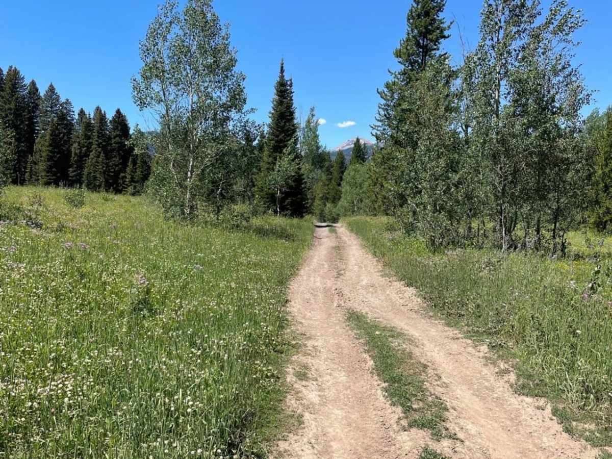
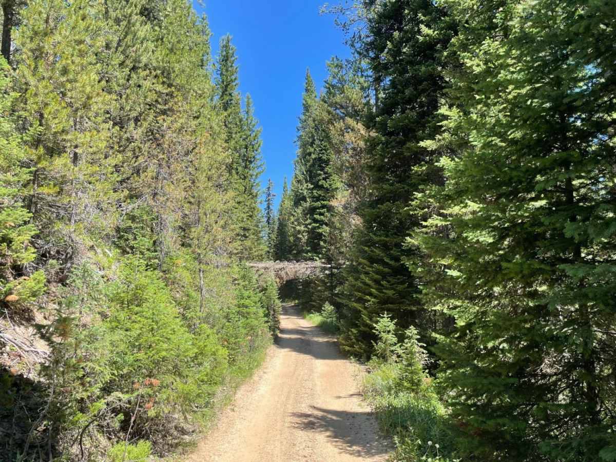
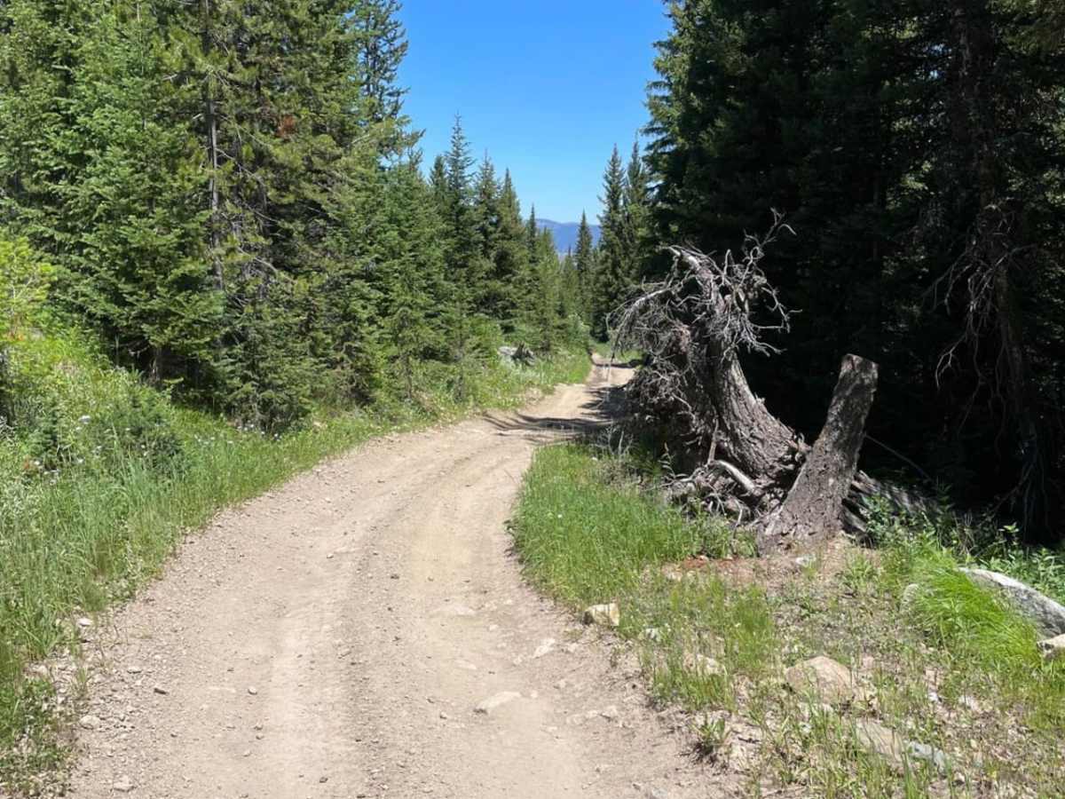
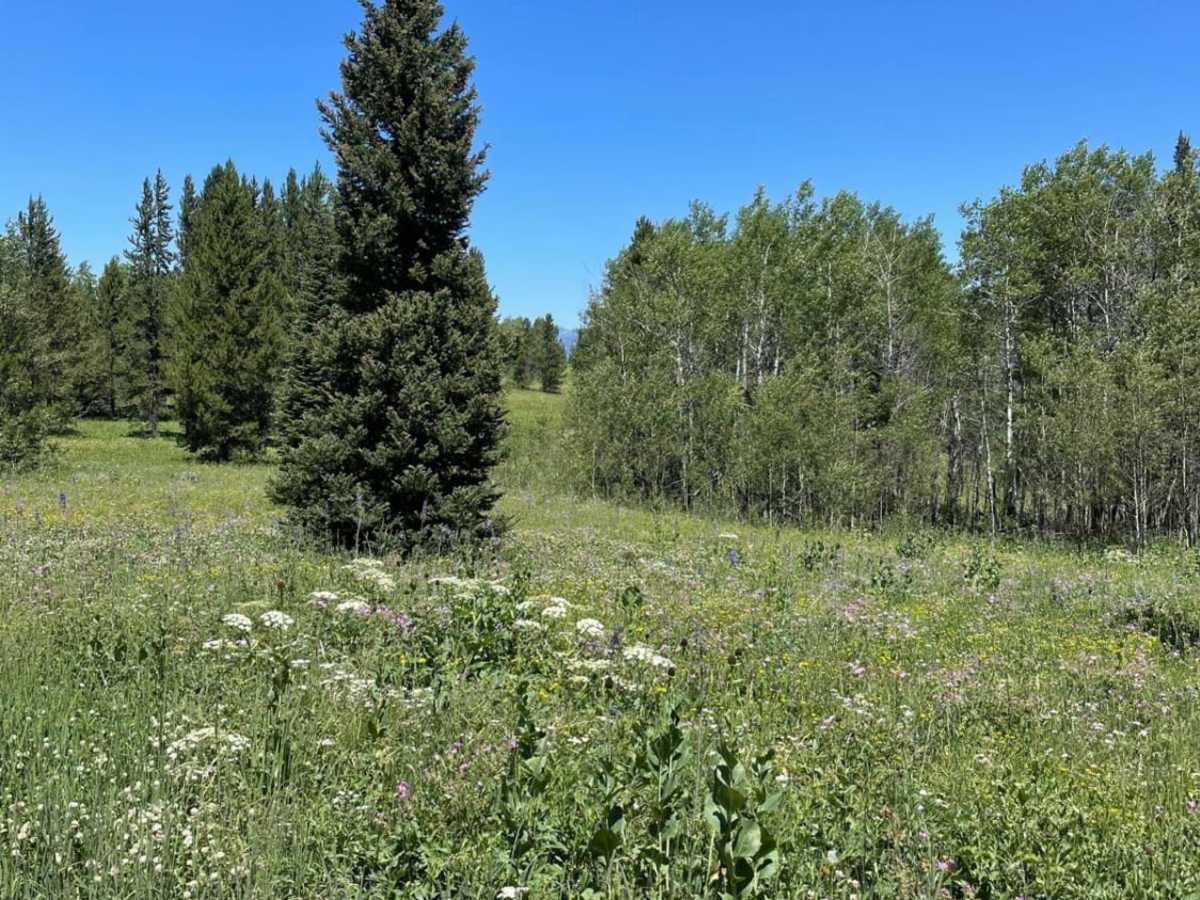
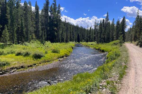
Buttermilk Creek Trail is a scenic, 2.6-mile, 50-inch two-track route near West Yellowstone, Montana, offering an accessible off-road adventure through dense tree cover and open valleys for riders of OHVs and dirt bikes. Beginning right off Highway 20 near Targhee Pass, this route climbs from an elevation of approximately 6,750 feet up to nearly 7,180 feet, winding through the beautiful Custer Gallatin National Forest. The trail features a moderate rating of 3 out of 10, characterized by some ruts, muddy sections, and loose rock fields that require careful line selection. The dense forest canopy periodically opens up into scenic meadows where wildlife like deer are frequently spotted, making it a great option for those looking to experience the Montana backcountry.
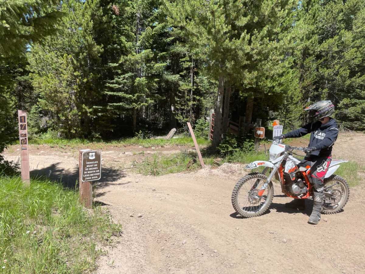
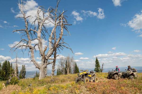
Designed primarily for vehicles up to 50 inches wide, such as SxSs, ATVs, and dirt bikes, this route provides a gateway to more expansive riding areas. Upon reaching the end of the trail, riders can connect with the Two Top Loop to extend their journey further up to the high-altitude ridgelines. Due to its elevation and mountain location, the route is typically accessible from late spring through autumn, though wet areas can persist early in the season. Visitors should prepare for changing mountain weather and ensure their vehicles are equipped with four-wheel-drive capabilities to navigate the steeper, rutted sections and loose rocks comfortably.
Access Description
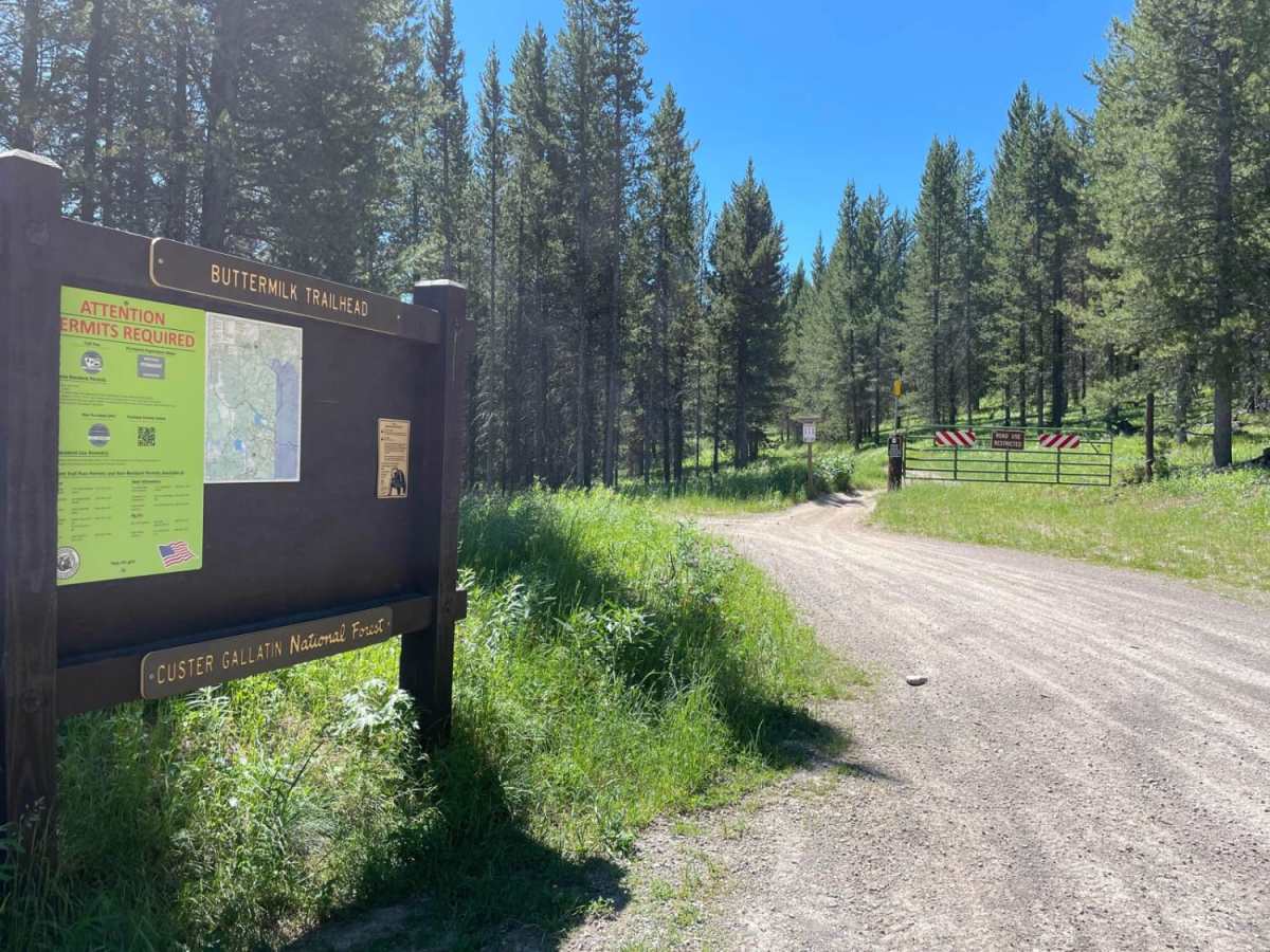
This route is limited to motorized vehicles 50 inches or less in width, such as ATVs, SxSs, and dirt bikes. A Montana OHV registration decal is required for residents, while out-of-state riders must obtain a non-resident temporary use permit. The trail is managed by the U.S. Forest Service and is subject to seasonal closures based on snow and trail conditions.

 Offroad