
Dirt Bike Trails
Near Watchtower, New York
Explore All Dirt Bike Trails Near Watchtower, New York
Dirt Bike Trails Near Watchtower, New York
Discover the best dirt bike trails near you. Browse trail maps, check difficulty ratings, and find your next adventure — whether you're looking for a quick ride or an all-day expedition.
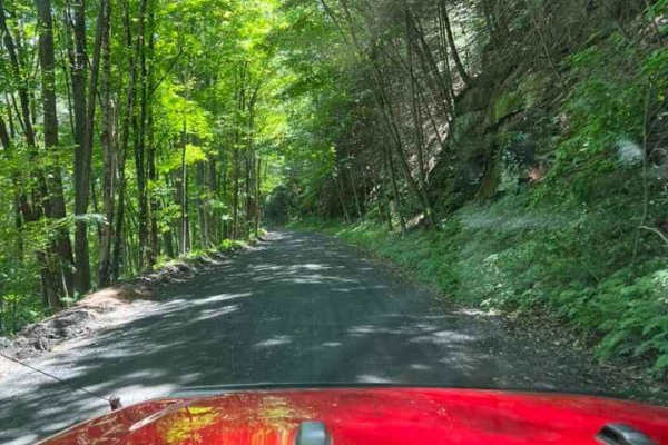
T-743/T-727
The trail starts off in Poyntelle as Township-727 and in Winterdale as T-743. This section of the O and W Trail is a recognized Township route open to street-licensed 4x4s. The trail follows the former route of the Ohio and Western Railroad. Multiple former stations can be observed along the route. ...
Learn more about T-743/T-727
Thomaston Dam Loop
Thomaston Dam Loop is a moderate dual-sport style ride best suited for experienced dirt bike riders looking for a mix of flowing singletrack and faster gravel segments within a controlled OHV area. Located along the Naugatuck River corridor just north of Thomaston Dam, this motorcycle-only trail sys...
Learn more about Thomaston Dam Loop
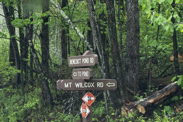
Mount Wilcox Road
Mount Wilcox Road is the main loop that meanders through Beartown State Forest. The loop is 4.3 miles and climbs from 1,600 feet to 2,100 feet. The trail begins and ends off Benedict Pond Road. Halfway through the route from either direction is a short spur that breaks off and provides access to the...
Learn more about Mount Wilcox Road
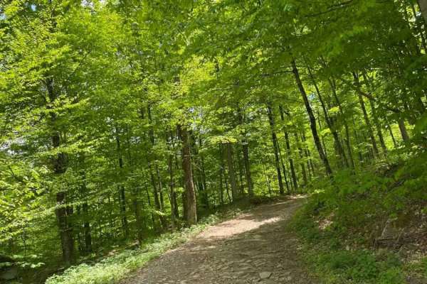
Big Valley Road
Big Valley Road offers a scenic and highly accessible offroad driving experience for novice drivers and seasoned explorers alike, serving as a tranquil passage through Pennsylvania's dense State Game Lands. Stretching approximately 2.2 miles, this winding forest road climbs from an elevation of 1,29...
Learn more about Big Valley Road
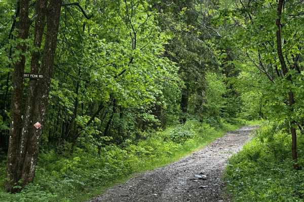
Sky Peak Road
Sky Peak Road is a short connector between Beartown Mountain Road and Wilcox Mountain Road. The trail begins from Beartown and climbs from 1760 to 1900 feet in the short 0.7 miles of the trail over loose rock. The trail is well-graded in most sections, with some showing exposed rock. The trail ends...
Learn more about Sky Peak Road
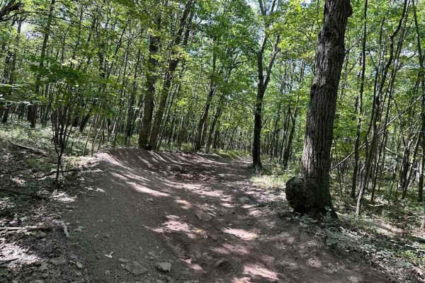
31 Green - A
If you need some variety in your life, 31 Green is your trail. This uneven, dirt trail will throw some curveballs at you with various-sized rocks, up and down slopes, rocky ledges and shallow muddy obstacles. You may encounter a downed tree here and there as this trail does take you through some woo...
Learn more about 31 Green - A
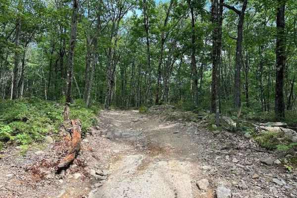
32 Blue
Ready for an adventure!? Check out 32 Blue! Just after the tunnel, this rocky uphill has some nice challenges. This includes a nice ledge to climb and some deep ruts. This is a rougher trail that can be worked through with proper line choice. The fun part is there are multiple lines to choose from.
Learn more about 32 Blue
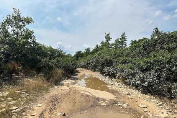
31 Blue
This dirt trail presents a series of challenges with rocks of various sizes, undulating hills, and shallow muddy obstacles. Looking for a lunch spot? The 31 Blue trail leads you around the Lake, offering a scenic location to pause and appreciate the lakeside views. No swimming or driving in the lake...
Learn more about 31 Blue

32 Green
Get ready for an adventure and explore 32 Green! This uneven, rugged, rocky dirt path features numerous shallow water and mud holes, whose depths may vary depending on any recent rainfall. The trail mostly winds through the forest, leading to an exciting feature: a tunnel you can actually drive thro...
Learn more about 32 Green
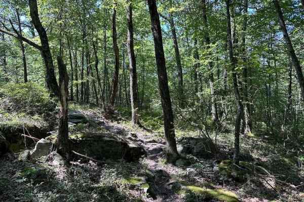
Red Single Track - A
This single-track trail can range in severity but is designed to be tight and flow with some slight speed. The obstacles can include hills, rocks, logs, twists, turns, and off-camber sections. There are usually drop-offs nearby and plenty of areas that can catch the novice rider. Be cautious on the ...
Learn more about Red Single Track - A
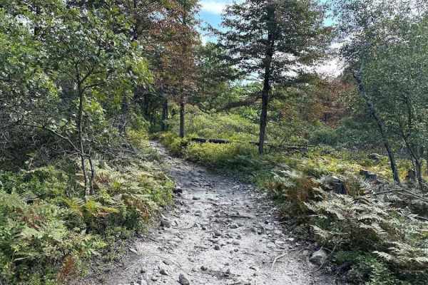
31 Blue - Alternate
This is an alternate trail that runs parallel to 31 Green. It is a more challenging trail with plenty of rocks and twists and turns. There are some hills to play on or take this to the mud play area (dippers) to mix it up. There is plenty to explore in this area.
Learn more about 31 Blue - Alternate
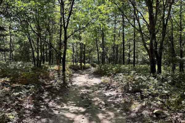
28 Blue
28 is the main return trail for the property. Starting at the 40 and 31 intersection it leads over to trail 11. The trail has plenty of small rocks and puddles with some more challenging spots. This is a fun trail with multiple choices to make the trail more challenging if you would like.
Learn more about 28 Blue
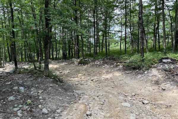
31 Green - B
If you need some variety in your life, 31 Green is your trail. This uneven, dirt trail will throw some curveballs at you with various-sized rocks, up-and-down slopes, rocky ledges, and shallow muddy obstacles. You may encounter a downed tree here and there as this trail does take you through some wo...
Learn more about 31 Green - B
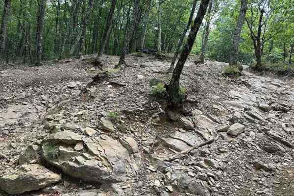
40 Green - B
40 Green is going to become one of your favorite Lost Trails! The variety that this trail offers includes various-sized rocky sections where the lines you choose to drive will determine the level of difficulty. There are quite a few water crossings that tend to be shallow but can increase/decrease d...
Learn more about 40 Green - B
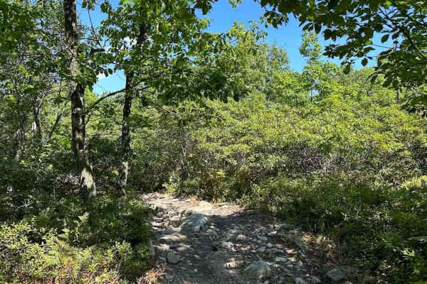
30 Expert Red
You should be an expert or at least have previous off-road driving experience if you are going to attempt 30 Expert Red. This trail is all about the rocks and they vary in size. The rocks range in size from small and medium to large and in charge.
Learn more about 30 Expert Red
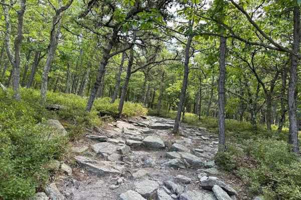
28 Red - A
This middle section of Trail 28 is a challenging alternative route to normal Trail 28. There are three choices in trail and each has its own challenges. Taking this route expect rocks and you weave through the side brush and trees. Some of the rocks can be 12" high and numerous.
Learn more about 28 Red - A
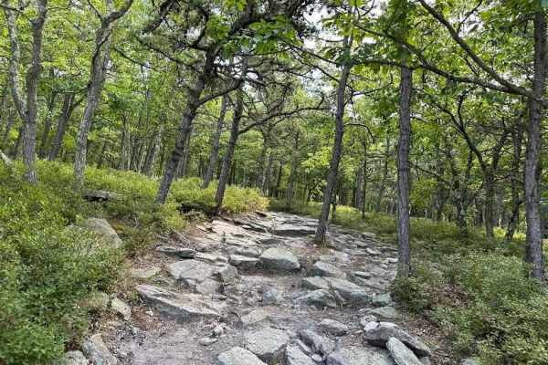
28 Red - B
This section of the trail is a challenging alternative route to Trail 28. There are three choices on the trail and each has its own challenges. Taking this route expect rocks and you weave through the side brush and trees. Some of the rocks can be 12" high and numerous.
Learn more about 28 Red - B
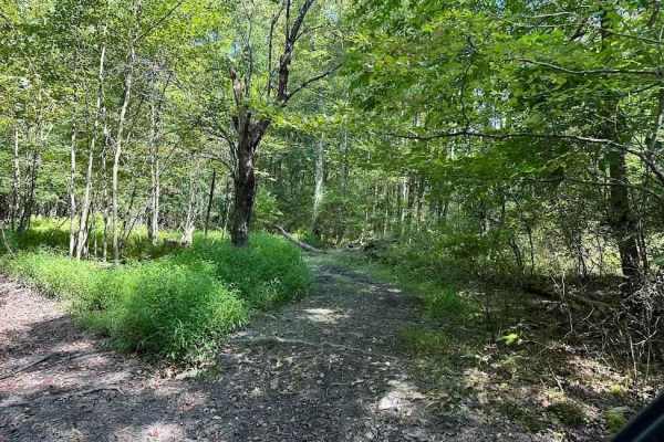
Single Track Blue
This single-track trail can range in severity but are designed to be tight and flow with some slight speed. The obstacles can include hills, rocks, logs, twists, turns and off-camber. There are usually drop-offs nearby and plenty of areas that can catch the novice rider. Be cautious on single-track ...
Learn more about Single Track Blue
30 Blue
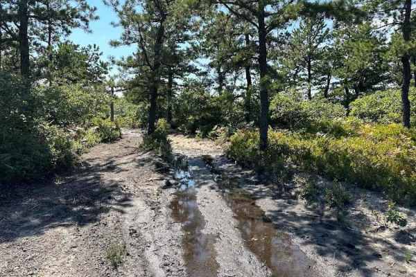
Trail 30 is an alternate loop that can be taken to mix up your trail route. This includes "shipwreck". Shipwreck is a boat off to the side of the trail. The trail includes plenty of rocks, wash outs, and puddles while working through the brush and trees.
Learn more about 30 Blue
11 Blue
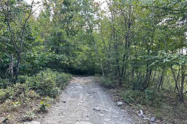
Trail 11 is a very mixed terrain trail. There are plenty of water puddles and rocks all over this trail. Then add in the hills and slightly off camber areas and it is a great mix. The bear caves are also along this trail. It is also fun to look out to the highway as it runs parallel to the trail.
Learn more about 11 Blue
ATV trails near Watchtower, New York
Explore ATV-friendly trails near you. These trails are accessible for vehicles up to 50 inches wide, perfect for ATVs and smaller off-road machines.
T-743/T-727
The trail starts off in Poyntelle as Township-727 and in Winterdale as T-743. This section of the O and W Trail is a recognized Township route open to street-licensed 4x4s. The trail follows the former route of the Ohio and Western Railroad. Multiple former stations can be observed along the route. ...
Learn more about T-743/T-727
Mount Wilcox Road
Mount Wilcox Road is the main loop that meanders through Beartown State Forest. The loop is 4.3 miles and climbs from 1,600 feet to 2,100 feet. The trail begins and ends off Benedict Pond Road. Halfway through the route from either direction is a short spur that breaks off and provides access to the...
Learn more about Mount Wilcox Road
Big Valley Road
Big Valley Road offers a scenic and highly accessible offroad driving experience for novice drivers and seasoned explorers alike, serving as a tranquil passage through Pennsylvania's dense State Game Lands. Stretching approximately 2.2 miles, this winding forest road climbs from an elevation of 1,29...
Learn more about Big Valley Road
Sky Peak Road
Sky Peak Road is a short connector between Beartown Mountain Road and Wilcox Mountain Road. The trail begins from Beartown and climbs from 1760 to 1900 feet in the short 0.7 miles of the trail over loose rock. The trail is well-graded in most sections, with some showing exposed rock. The trail ends...
Learn more about Sky Peak Road
UTV/side-by-side trails near Watchtower, New York
Find UTV and side-by-side trails near you. These trails accommodate vehicles up to 60 inches wide, ideal for UTVs, side-by-sides, and wider off-road rigs.
T-743/T-727
The trail starts off in Poyntelle as Township-727 and in Winterdale as T-743. This section of the O and W Trail is a recognized Township route open to street-licensed 4x4s. The trail follows the former route of the Ohio and Western Railroad. Multiple former stations can be observed along the route. ...
Learn more about T-743/T-727
Mount Wilcox Road
Mount Wilcox Road is the main loop that meanders through Beartown State Forest. The loop is 4.3 miles and climbs from 1,600 feet to 2,100 feet. The trail begins and ends off Benedict Pond Road. Halfway through the route from either direction is a short spur that breaks off and provides access to the...
Learn more about Mount Wilcox Road
Big Valley Road
Big Valley Road offers a scenic and highly accessible offroad driving experience for novice drivers and seasoned explorers alike, serving as a tranquil passage through Pennsylvania's dense State Game Lands. Stretching approximately 2.2 miles, this winding forest road climbs from an elevation of 1,29...
Learn more about Big Valley Road
Sky Peak Road
Sky Peak Road is a short connector between Beartown Mountain Road and Wilcox Mountain Road. The trail begins from Beartown and climbs from 1760 to 1900 feet in the short 0.7 miles of the trail over loose rock. The trail is well-graded in most sections, with some showing exposed rock. The trail ends...
Learn more about Sky Peak Road
The onX Offroad Difference
onX Offroad combines trail photos, descriptions, difficulty ratings, width restrictions, seasonality, and more in a user-friendly interface. Available on all devices, with offline access and full compatibility with CarPlay and Android Auto. Discover what you're missing today!
Open Trail Map