
Dirt Bike Trails
Near Victorville, California
Explore All Dirt Bike Trails Near Victorville, California
Dirt Bike Trails Near Victorville, California
Discover the best dirt bike trails near you. Browse trail maps, check difficulty ratings, and find your next adventure — whether you're looking for a quick ride or an all-day expedition.
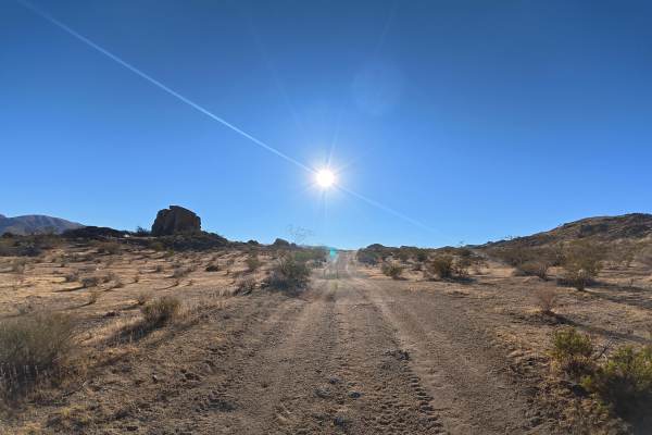
Fairview View
Fairview View travels over fine, loose sand that can become more difficult when wet. Whoops reach 12–20 inches tall but are relatively easy to navigate. Around 0.8 miles, a steep hill climb makes 4WD or AWD highly recommended. The route provides continuous views of Fairview Mountain and the surround...
Learn more about Fairview View

Ruts & Roots
This out-and-back route offers a refreshing change of pace, featuring several fun water crossings that are rare in this high-desert environment. The trail winds through surprisingly lush vegetation, requiring some quick reflexes to dodge overhanging branches while maintaining your flow. Since there ...
Learn more about Ruts & Roots
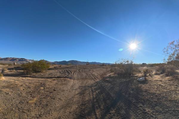
BLM SV2613
BLM SV2613 travels over fine, loose sand that can become more difficult when wet. The route weaves through unique rock formations with repeated 12–24 inch whoops and ruts reaching 10–12 inches deep. Several smooth rock ledges reach approximately 20 inches tall but are relatively easy to drive over. ...
Learn more about BLM SV2613
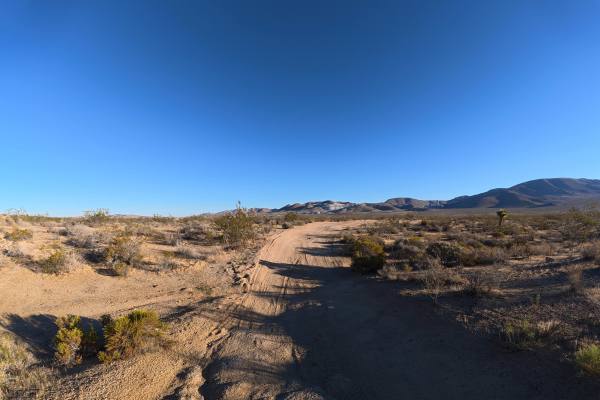
Mountain View Cut-Off
Mountain View Cut-Off travels over fine, loose sand that can become more difficult when wet. The trail passes through a scenic section of BLM land near Mountain View Road, surrounded by unique rock formations. Some overgrown vegetation is present, although most pinstriping is avoidable. Ruts and who...
Learn more about Mountain View Cut-Off

BM Bush Run
This cool little access trail serves as a vital connector, smoothly linking you to several other major OHV areas in the region. While it lacks heavy technical obstacles, it makes up for it with a fun series of elevation changes that keep the ride engaging from start to finish. You will find yourself...
Learn more about BM Bush Run

Desert Front Trail
This trail is mainly a dirt road with sand in some areas, and off-camber turns with slight hills. When the trails are mainly dry in spring and summer, it is possible in 2WD. There are forks in the trail with break-offs for ATVs and Dirtbikes, so be aware of sections where the trails connect. Cell se...
Learn more about Desert Front Trail

Spice Drawer
For riders seeking a more challenging alternative to the main access road, these technical offshoots provide a thrilling climb toward the Baldy Mesa ridge. These paths are unique because they constantly criss-cross the primary dirt road, allowing you to jump in and out of the difficult sections as y...
Learn more about Spice Drawer
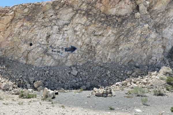
The "Shooting Range" Quarry
The "Shooting Range" Quarry is an easy, scenic 1.7-mile out-and-back trail in Juniper Flats that is ideal for novice offroaders looking for stunning mountain views and a quick backcountry escape. Branching off from Juniper Flats Road, this short route climbs gently through elevations between 4,334 a...
Learn more about The "Shooting Range" Quarry

Sand Rip Loop
This fun little sand loop section is a treat for those who enjoy higher-speed desert riding and the unique sensation of floating over soft terrain. You have to access it via the Manzanita Trail, which keeps it tucked away from the more casual crowds and provides a more secluded feel. There is a dist...
Learn more about Sand Rip Loop
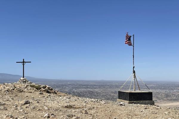
Flagpole Point
This moderately difficult trail leads out of Juniper Flats and up to the flagpole and cross. You can see all across Victorville and, on a clear day, even the San Gabriel mountains in the distance. It features a few dispersed camping spots and an old mine. The trail Itself is rocky in some parts, san...
Learn more about Flagpole Point
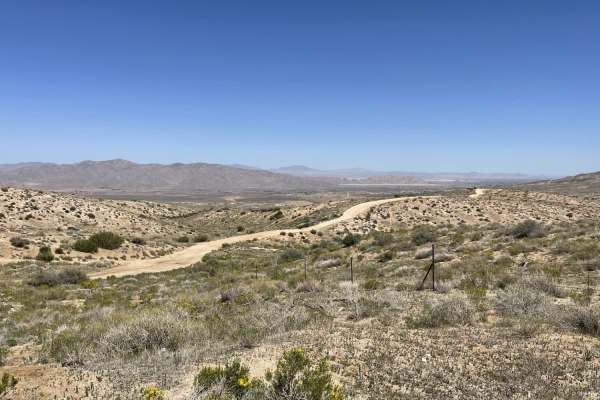
Japatul Road
This trail heads up toward Juniper flats and splits to either Flagpole trail or continues to the flats. The valley views below are pretty great once you ascend to the ridgeline. Once you pass the residential section, the lower section of trail has some heavily rutted and washed-out sections. If you ...
Learn more about Japatul Road
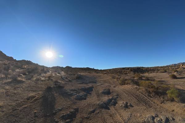
BLM SV2614
BLM SV2614 continues from BLM SV2616 over fine, loose sand and dirt that can become more difficult when wet. The trail is very narrow with no room for passing and heads directly toward the rock formations of the Sawtooth Hills. Small whoops reach 10–12 inches tall, while overgrown vegetation and tig...
Learn more about BLM SV2614

Wrap Around Way
This technical offshoot provides the perfect "choose your own adventure" experience for riders who aren't satisfied with the standard dirt road. It is designed to offer a series of more demanding options, allowing you to branch off and test your machine’s suspension and your own balance on more aggr...
Learn more about Wrap Around Way

Mission Ridge
This fun little single-track section is a hidden gem for riders who prefer a narrower, more intimate path through the desert landscape. As you wind through the sagebrush, you will be treated to expansive views of the valley floor stretching out toward the horizon. It features several engaging techni...
Learn more about Mission Ridge
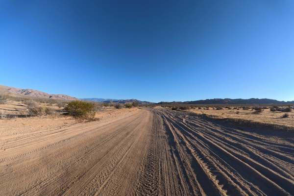
BLM SV2607
BLM SV2607 travels over fine, loose sand and dirt that can become more difficult when wet. The trail is wide with plenty of room for vehicles to pass, and ruts at the beginning remain around 2–3 inches deep with no significant obstacles. The route travels through a scenic section of BLM land with ex...
Learn more about BLM SV2607
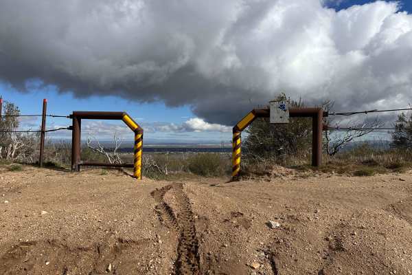
P-Town Loop Out
As a recent legal addition to the local OHV network, this trail represents the ongoing effort to provide sustainable and sanctioned riding opportunities in the area. It features a great variety of technical sections and numerous offshoots that allow you to customize your experience based on your ski...
Learn more about P-Town Loop Out

Dougies Dip
This section is a playground for riders who crave variety, as the area is densely packed with technical offshoot options. It serves as an official "skills test" cutoff, specifically designed to push you beyond the standard trail experience and challenge your technical precision. Depending on the cur...
Learn more about Dougies Dip

Dori's Downhill
This cool little technical section is specifically designed to let you test your skills and see how your rig handles more precise maneuvers. It offers a concentrated dose of obstacles that will keep you on your toes, requiring steady throttle control and smart line choices to clear. Because it is a ...
Learn more about Dori's Downhill
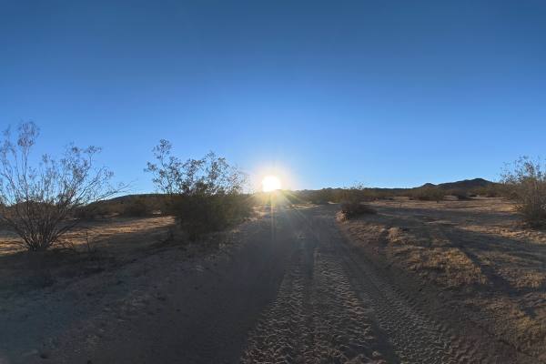
BLM SV2611
BLM SV2611 travels over fine, loose sand and dirt that can become considerably more difficult when wet. The trail has sections reaching approximately 8° off-camber, along with repeated whoops and ruts measuring 12–16 inches. Overgrown vegetation is also common, making pinstriping difficult to avoid ...
Learn more about BLM SV2611
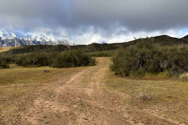
Power Line Lip
This short out-and-back trail is a great option for riders who want a quick dose of scenery without committing to a full-day expedition. Its convenient location makes it an easy addition to any ride, offering some truly impressive vantage points of the surrounding mountains and the Interstate 15 cor...
Learn more about Power Line Lip
ATV trails near Victorville, California
Explore ATV-friendly trails near you. These trails are accessible for vehicles up to 50 inches wide, perfect for ATVs and smaller off-road machines.
Fairview View
Fairview View travels over fine, loose sand that can become more difficult when wet. Whoops reach 12–20 inches tall but are relatively easy to navigate. Around 0.8 miles, a steep hill climb makes 4WD or AWD highly recommended. The route provides continuous views of Fairview Mountain and the surround...
Learn more about Fairview View
BLM SV2613
BLM SV2613 travels over fine, loose sand that can become more difficult when wet. The route weaves through unique rock formations with repeated 12–24 inch whoops and ruts reaching 10–12 inches deep. Several smooth rock ledges reach approximately 20 inches tall but are relatively easy to drive over. ...
Learn more about BLM SV2613
Mountain View Cut-Off
Mountain View Cut-Off travels over fine, loose sand that can become more difficult when wet. The trail passes through a scenic section of BLM land near Mountain View Road, surrounded by unique rock formations. Some overgrown vegetation is present, although most pinstriping is avoidable. Ruts and who...
Learn more about Mountain View Cut-Off
Desert Front Trail
This trail is mainly a dirt road with sand in some areas, and off-camber turns with slight hills. When the trails are mainly dry in spring and summer, it is possible in 2WD. There are forks in the trail with break-offs for ATVs and Dirtbikes, so be aware of sections where the trails connect. Cell se...
Learn more about Desert Front Trail
UTV/side-by-side trails near Victorville, California
Find UTV and side-by-side trails near you. These trails accommodate vehicles up to 60 inches wide, ideal for UTVs, side-by-sides, and wider off-road rigs.
Fairview View
Fairview View travels over fine, loose sand that can become more difficult when wet. Whoops reach 12–20 inches tall but are relatively easy to navigate. Around 0.8 miles, a steep hill climb makes 4WD or AWD highly recommended. The route provides continuous views of Fairview Mountain and the surround...
Learn more about Fairview View
BLM SV2613
BLM SV2613 travels over fine, loose sand that can become more difficult when wet. The route weaves through unique rock formations with repeated 12–24 inch whoops and ruts reaching 10–12 inches deep. Several smooth rock ledges reach approximately 20 inches tall but are relatively easy to drive over. ...
Learn more about BLM SV2613
Mountain View Cut-Off
Mountain View Cut-Off travels over fine, loose sand that can become more difficult when wet. The trail passes through a scenic section of BLM land near Mountain View Road, surrounded by unique rock formations. Some overgrown vegetation is present, although most pinstriping is avoidable. Ruts and who...
Learn more about Mountain View Cut-Off
Desert Front Trail
This trail is mainly a dirt road with sand in some areas, and off-camber turns with slight hills. When the trails are mainly dry in spring and summer, it is possible in 2WD. There are forks in the trail with break-offs for ATVs and Dirtbikes, so be aware of sections where the trails connect. Cell se...
Learn more about Desert Front Trail
The onX Offroad Difference
onX Offroad combines trail photos, descriptions, difficulty ratings, width restrictions, seasonality, and more in a user-friendly interface. Available on all devices, with offline access and full compatibility with CarPlay and Android Auto. Discover what you're missing today!
Open Trail Map