Trail Overview
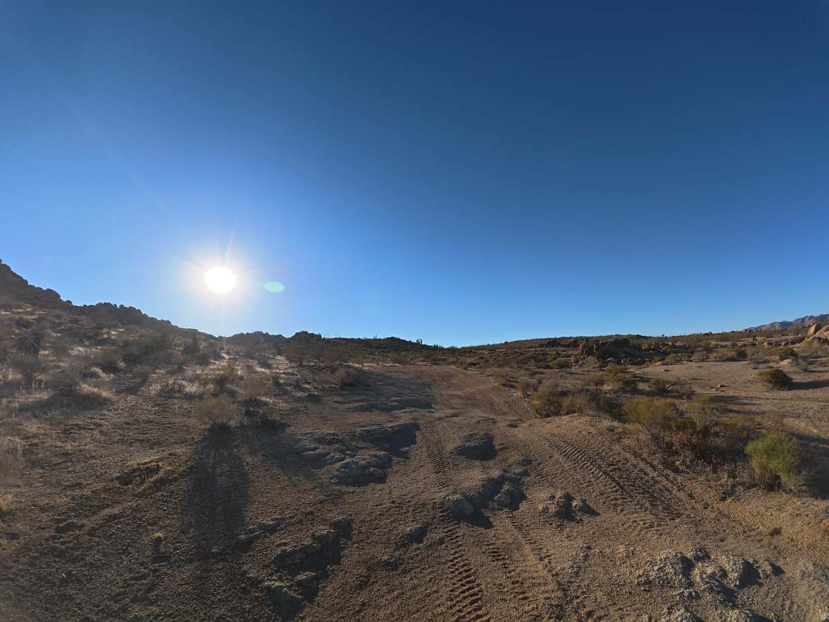
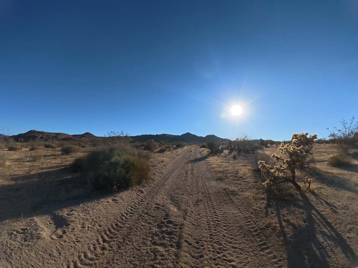
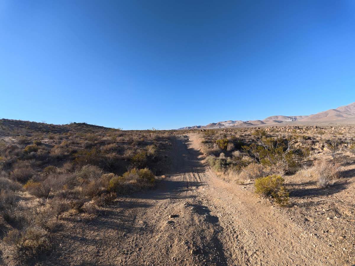
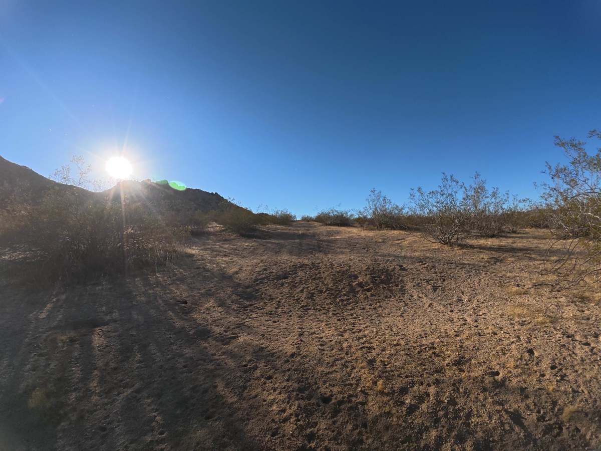
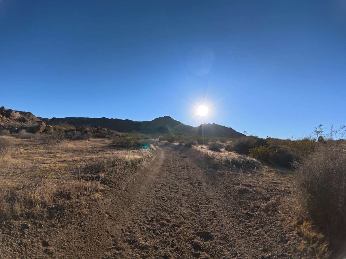
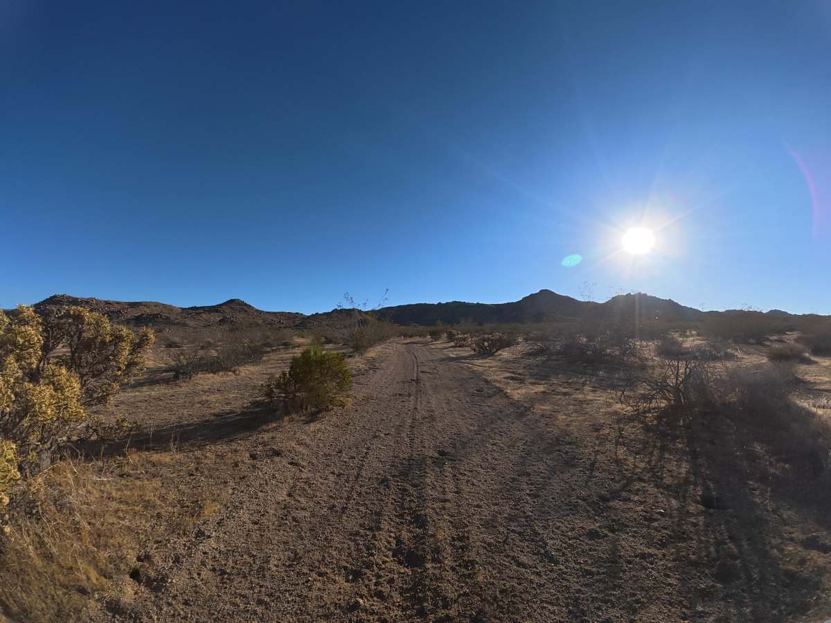
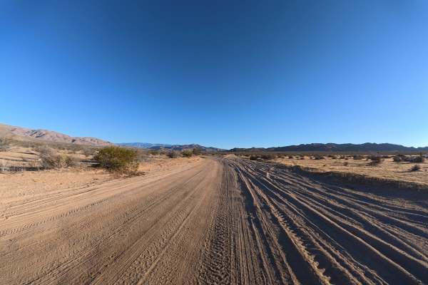
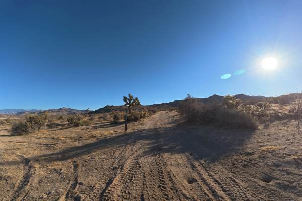
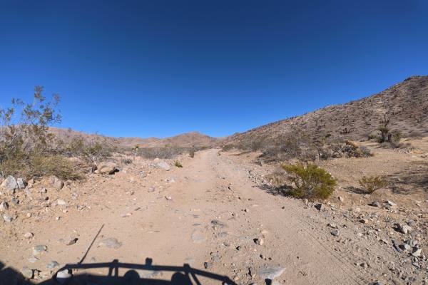
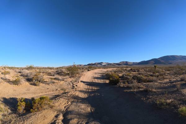
BLM SV2614 continues from BLM SV2616 over fine, loose sand and dirt that can become more difficult when wet. The trail is very narrow with no room for passing and heads directly toward the rock formations of the Sawtooth Hills. Small whoops reach 10–12 inches tall, while overgrown vegetation and tight trees make pinstriping difficult to avoid in some sections. Around 0.5 miles, more than six campsites appear alongside the Sawtooth Hills. These scenic sites receive considerable shade from the surrounding hills and rock formations, providing excellent camping opportunities within the rugged desert landscape.
Difficulty
This trail is rated Level 2 because of its loose surface, narrow terrain, 10–12 inch whoops, and tight, overgrown sections. The terrain is not highly technical, but careful driving is needed to navigate the vegetation and avoid vehicle damage.
History
The BLM lands around Sawtooth Canyon reflect the long history of California’s Mojave Desert, where Indigenous peoples traveled and lived for thousands of years before miners, ranchers, and settlers arrived in the 1800s. The surrounding desert also contains remnants of the region’s mining and homesteading era, while its rugged volcanic rock formations preserve a much older geologic history.

 Offroad