
Dirt Bike Trails
Near Valentine, Arizona
Explore All Dirt Bike Trails Near Valentine, Arizona
Dirt Bike Trails Near Valentine, Arizona
Discover the best dirt bike trails near you. Browse trail maps, check difficulty ratings, and find your next adventure — whether you're looking for a quick ride or an all-day expedition.
Hackberry Road
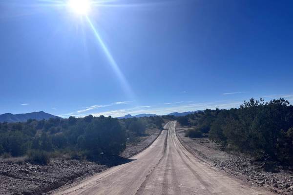
This 13.9 mile road connects the small town of Hackberry (Historic Route 66) to Interstate 40. This is a maintained dirt road with some washboarding. Enjoy the expansive views of the surrounding mountains and rock formations. Then stop at one of the local shops on Route 66. This trail is passable by...
Learn more about Hackberry Road
Music Mountains Trail
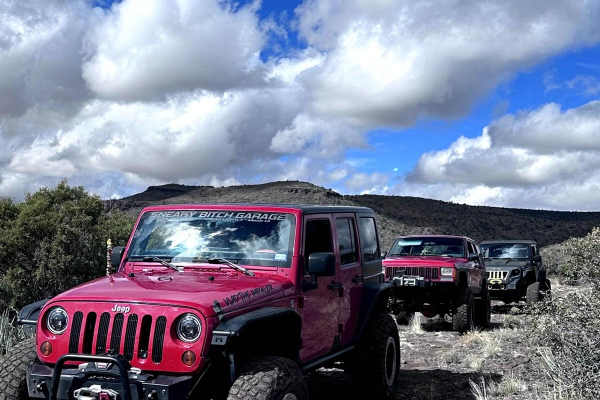
This 16.9-mile trail takes you up into the scenic Music Mountains with great views of the Kingman Valley. Starting at the southern end, you will travel up a large wash. There is overgrowth along this section of the trail that may cause pin-stripping. Obstacles up to 12 inches in height will be found...
Learn more about Music Mountains Trail
H1320
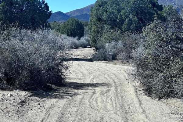
This short 1.7 mile point to point trail is a fun side trail when traveling on the Old HWY 93 trail. It follows a small wash up to Blake Ranch Road (Hualapai Scenic Bypass Trail). The majority of the trail is sand. There is a sharp turn where the wash narrows and has rocks up to 12" in height, some ...
Learn more about H1320
Hualapai Singletrack
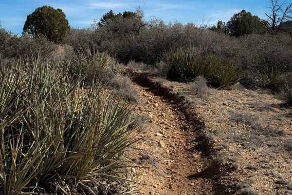
This is a short 0.8-mile-long singletrack through the BLM land below the Hualapai Mountains near Kingman, Arizona. It is easily accessible off of Sweetwater Road – but the entrance to this trail is farther south on route H1350 than the map shows. The trail itself is curvy, with small dips into rocky...
Learn more about Hualapai Singletrack
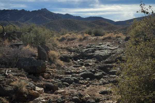
H1333
This is a fun rocky trail through the Hualapai mountains. It is not marked with width designations and lacks trail markers, so you may see wider vehicles out here, although it is supposed to be for dirt bikes only. The north end starts out in a wide sandy wash between tall bushes, and it climbs up a...
Learn more about H1333
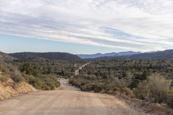
Hualapai Mountain Scenic Bypass
This is a great side trip to take if you are traveling through and need a break from the interstate. There is stunning scenery and lots of camping, not to mention the plethora of side trails just waiting to be explored. The road is very easy. There are a lot of potholes and gaps in the edges of the ...
Learn more about Hualapai Mountain Scenic Bypass
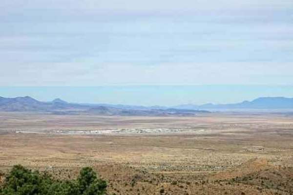
Devil's Dip Parallel
An easier Jeep trail parallel to Devil's Dip rock crawling trail can also be used to access Devil's Dip. Both Devil's Dip rock crawling trail and this one start at Exit 59 from I-40. Devil's Dip goes up the bottom of an unnamed wash, while this one follows easy roads higher above the same wash. De...
Learn more about Devil's Dip Parallel
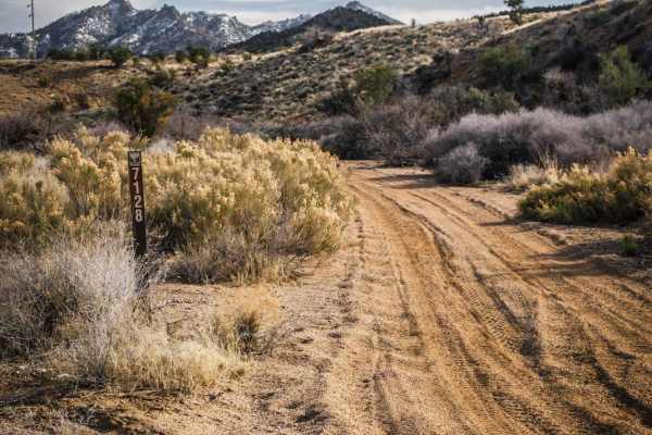
I-40 Parallel ATV Trail
This is an unmarked ATV trail starting from the DW Ranch Road exit of I-40 near Kingman, Arizona. It's a mix of sand wash and hard pack dirt with loose rock. There are three segments of the ATV trail, separated by short segments of jeep road in between. The beginning and end of the trail are both th...
Learn more about I-40 Parallel ATV Trail

H1332/BLM 7226
This is a short route that goes from Blake Ranch Road out to the Century Mine that is fun to explore. It’s mostly flat with a very gradual increase in grade from east to west. The trail surface is pretty bony from lots of loose rock in the trail of various sizes, but mostly medium round rocks. The r...
Learn more about H1332/BLM 7226
H1315
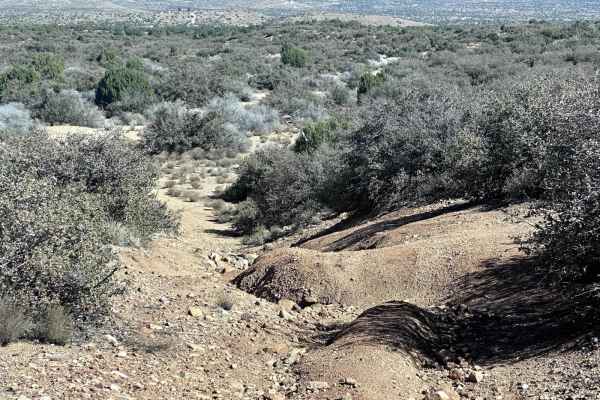
This short 2.1 mile point to point trail is a great side trail to the Old Highway 93 trail. This connects the intersection of Mountain Shadow Road and Blake Ranch Road. Most of this trail is sand, with one section close to the tank (livestock watering hole) which is washed out but passable (under 12...
Learn more about H1315
Old Highway 93
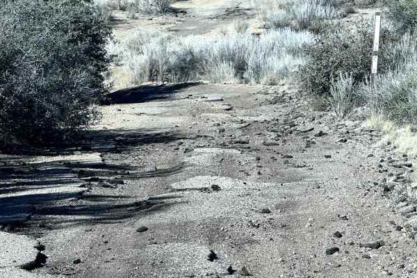
This 9.4 mile point to point trail follows a section of the original US Highway 93 that was decommissioned around 1959 upon the completion of Interstate 40. The first half of the trail starting from Highway 93 is a well-maintained dirt road with some washboarding. When the road makes a sharp right t...
Learn more about Old Highway 93
H1297
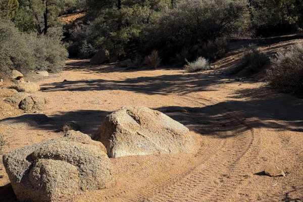
This is a 0.8-mile-long easy ATV trail through a sand wash in the Hualapai mountains. It is mostly flat and curvy through the tall pinyon trees, with a slight decrease in grade from north to south. It has deep sand in spots, with a few big boulders within the wash to watch out for that can mostly be...
Learn more about H1297
H1447
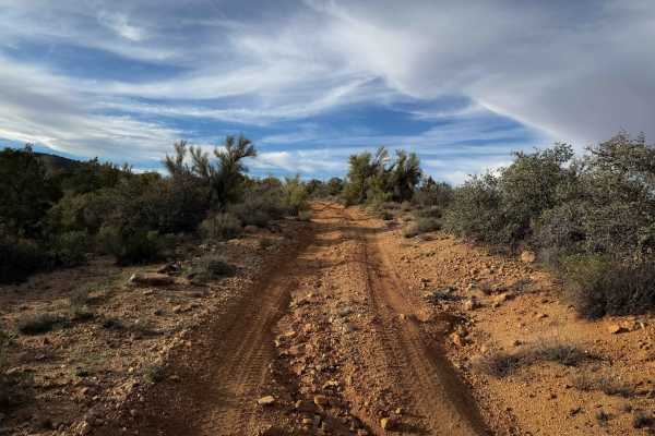
H1447 is a very gradual and easy ATV route for 2.2 miles. It is accessed on the north end through a rocky sand wash road and connects to another primitive BLM road on the south end. The trail is decently wide, meandering between the scrub oak and pinyon pine trees, with lots of scraggly bushes and c...
Learn more about H1447
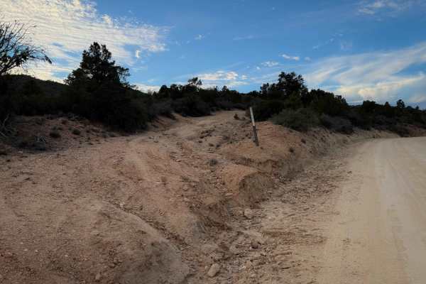
H1371
This is a short parallel trail to Blake Ranch Road to avoid some of the main dirt roads. It meanders up into the hills and winds its way through the pinyon pine and scrub oak, curving along the hillsides above the main road. It is mostly wide and easy, on a smooth surface with some shallow ruts, dip...
Learn more about H1371
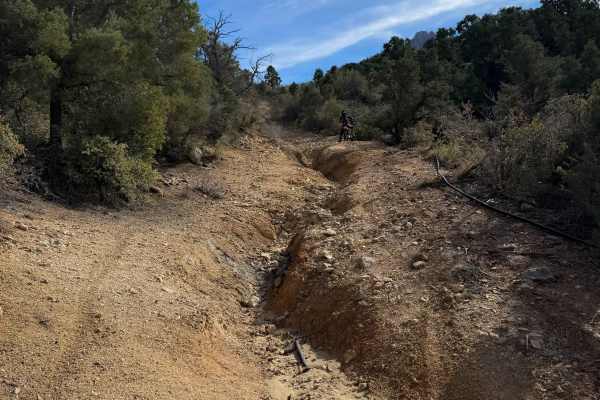
H1335/BLM 7127
This is a fun and scenic ATV trail at the base of the Hualapai Mountains. The south end ends at private property, so you have to ride it as an out-and-back. The north end starts as a continuation of the road segment of H1334 without any trail marker or width designation, but later, you’ll see signs ...
Learn more about H1335/BLM 7127
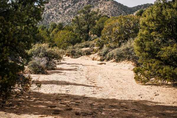
ATV Sand Wash Trail
This is a short ATV connector trail through a sand wash accessed off of DW Ranch Road near Kingman, Arizona. The trail goes through a smooth sandy wash that is a bit narrower than a road. It connects the Devil's Dip Parallel Jeep Trail to a nearby residential area. There are some narrow sections bet...
Learn more about ATV Sand Wash Trail
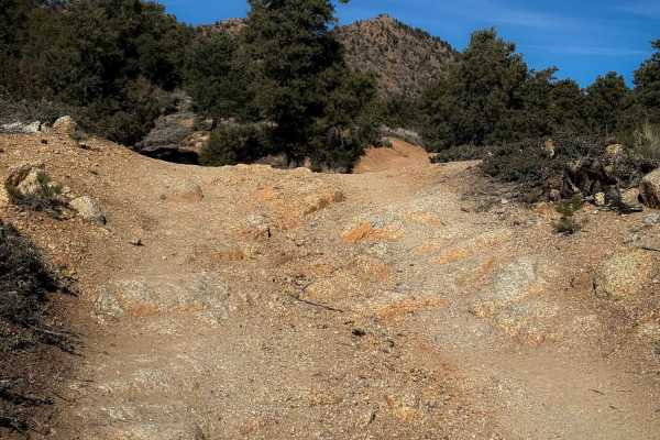
BLM Route 7125
This is a 1.6-mile-long dirt bike trail through the Hualapai Mountains that is road-width for its entire length. It’s not overly difficult for dirt bikes, but it looks like this trail gets used by wider vehicles, as the trail signs do not have width designations in this system, so watch out for onco...
Learn more about BLM Route 7125
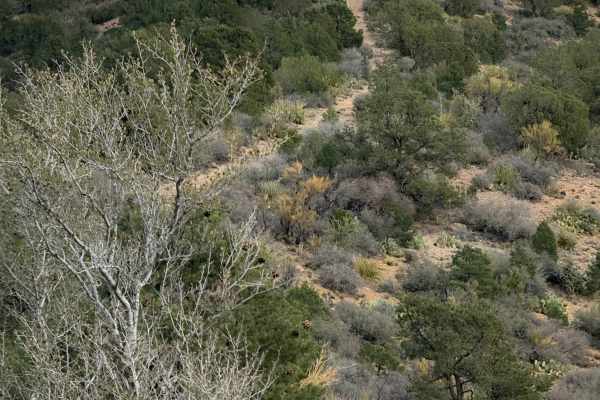
BLM Route 7188
BLM Route 7188 is a 2.5-mile-long ATV trail that is a fun and scenic, more primitive route. The west end is unmarked, starting at the edge of a livestock corral after going through a fence, and starts off more primitive, with not many tracks. Overall, it is a narrower path ideal for ATVs. The first ...
Learn more about BLM Route 7188
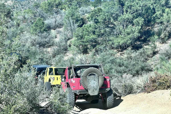
Safelite
Safelite is a challenging 6.1-mile technical loop trail that begins from Blake Ranch Road in the Hualapai Mountain range. The trail meanders through scenic Pinyon-Juniper woodlands and Mojave Desert vegetation. While on this trail, keep a sharp eye out for the several old mining sites in this narrow...
Learn more about Safelite
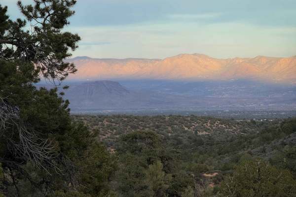
H1590
This is a more difficult ATV trail that makes a short loop off of Blake Ranch Road. Going clockwise, it starts at a telephone pole and steeply climbs up through a narrow rocky ravine, onto a more primitive trail following a fence line. There are spots of erosion in the beginning with foot-deep ruts ...
Learn more about H1590
ATV trails near Valentine, Arizona
Explore ATV-friendly trails near you. These trails are accessible for vehicles up to 50 inches wide, perfect for ATVs and smaller off-road machines.
Hackberry Road
This 13.9 mile road connects the small town of Hackberry (Historic Route 66) to Interstate 40. This is a maintained dirt road with some washboarding. Enjoy the expansive views of the surrounding mountains and rock formations. Then stop at one of the local shops on Route 66. This trail is passable by...
Learn more about Hackberry Road
Music Mountains Trail
This 16.9-mile trail takes you up into the scenic Music Mountains with great views of the Kingman Valley. Starting at the southern end, you will travel up a large wash. There is overgrowth along this section of the trail that may cause pin-stripping. Obstacles up to 12 inches in height will be found...
Learn more about Music Mountains Trail
H1320
This short 1.7 mile point to point trail is a fun side trail when traveling on the Old HWY 93 trail. It follows a small wash up to Blake Ranch Road (Hualapai Scenic Bypass Trail). The majority of the trail is sand. There is a sharp turn where the wash narrows and has rocks up to 12" in height, some ...
Learn more about H1320
Hualapai Mountain Scenic Bypass
This is a great side trip to take if you are traveling through and need a break from the interstate. There is stunning scenery and lots of camping, not to mention the plethora of side trails just waiting to be explored. The road is very easy. There are a lot of potholes and gaps in the edges of the ...
Learn more about Hualapai Mountain Scenic Bypass
UTV/side-by-side trails near Valentine, Arizona
Find UTV and side-by-side trails near you. These trails accommodate vehicles up to 60 inches wide, ideal for UTVs, side-by-sides, and wider off-road rigs.
Hackberry Road
This 13.9 mile road connects the small town of Hackberry (Historic Route 66) to Interstate 40. This is a maintained dirt road with some washboarding. Enjoy the expansive views of the surrounding mountains and rock formations. Then stop at one of the local shops on Route 66. This trail is passable by...
Learn more about Hackberry Road
Music Mountains Trail
This 16.9-mile trail takes you up into the scenic Music Mountains with great views of the Kingman Valley. Starting at the southern end, you will travel up a large wash. There is overgrowth along this section of the trail that may cause pin-stripping. Obstacles up to 12 inches in height will be found...
Learn more about Music Mountains Trail
H1320
This short 1.7 mile point to point trail is a fun side trail when traveling on the Old HWY 93 trail. It follows a small wash up to Blake Ranch Road (Hualapai Scenic Bypass Trail). The majority of the trail is sand. There is a sharp turn where the wash narrows and has rocks up to 12" in height, some ...
Learn more about H1320
Hualapai Mountain Scenic Bypass
This is a great side trip to take if you are traveling through and need a break from the interstate. There is stunning scenery and lots of camping, not to mention the plethora of side trails just waiting to be explored. The road is very easy. There are a lot of potholes and gaps in the edges of the ...
Learn more about Hualapai Mountain Scenic Bypass
The onX Offroad Difference
onX Offroad combines trail photos, descriptions, difficulty ratings, width restrictions, seasonality, and more in a user-friendly interface. Available on all devices, with offline access and full compatibility with CarPlay and Android Auto. Discover what you're missing today!
Open Trail Map