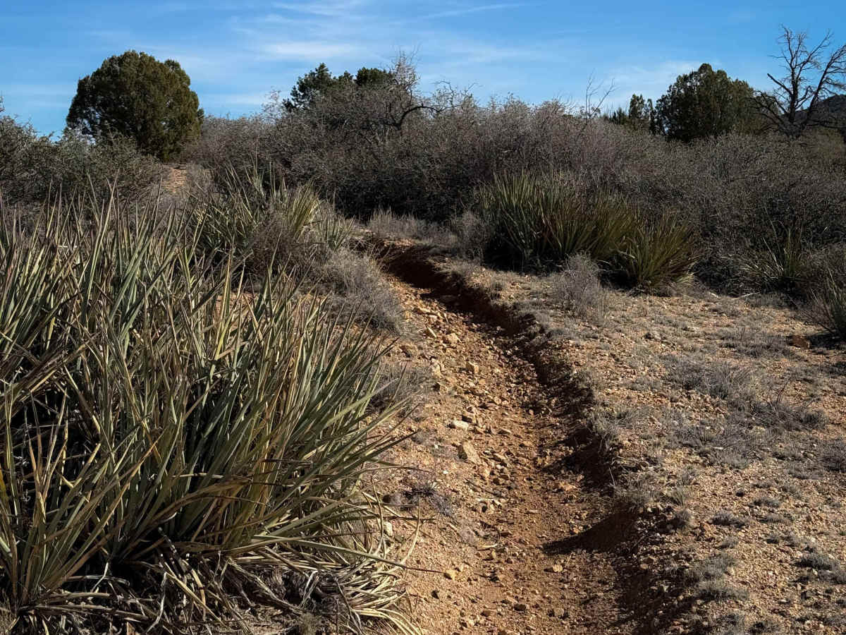
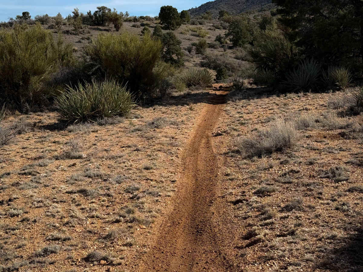
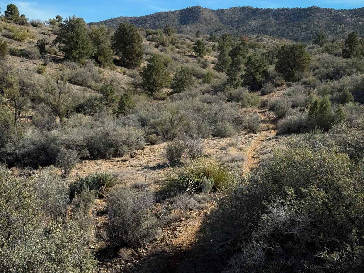
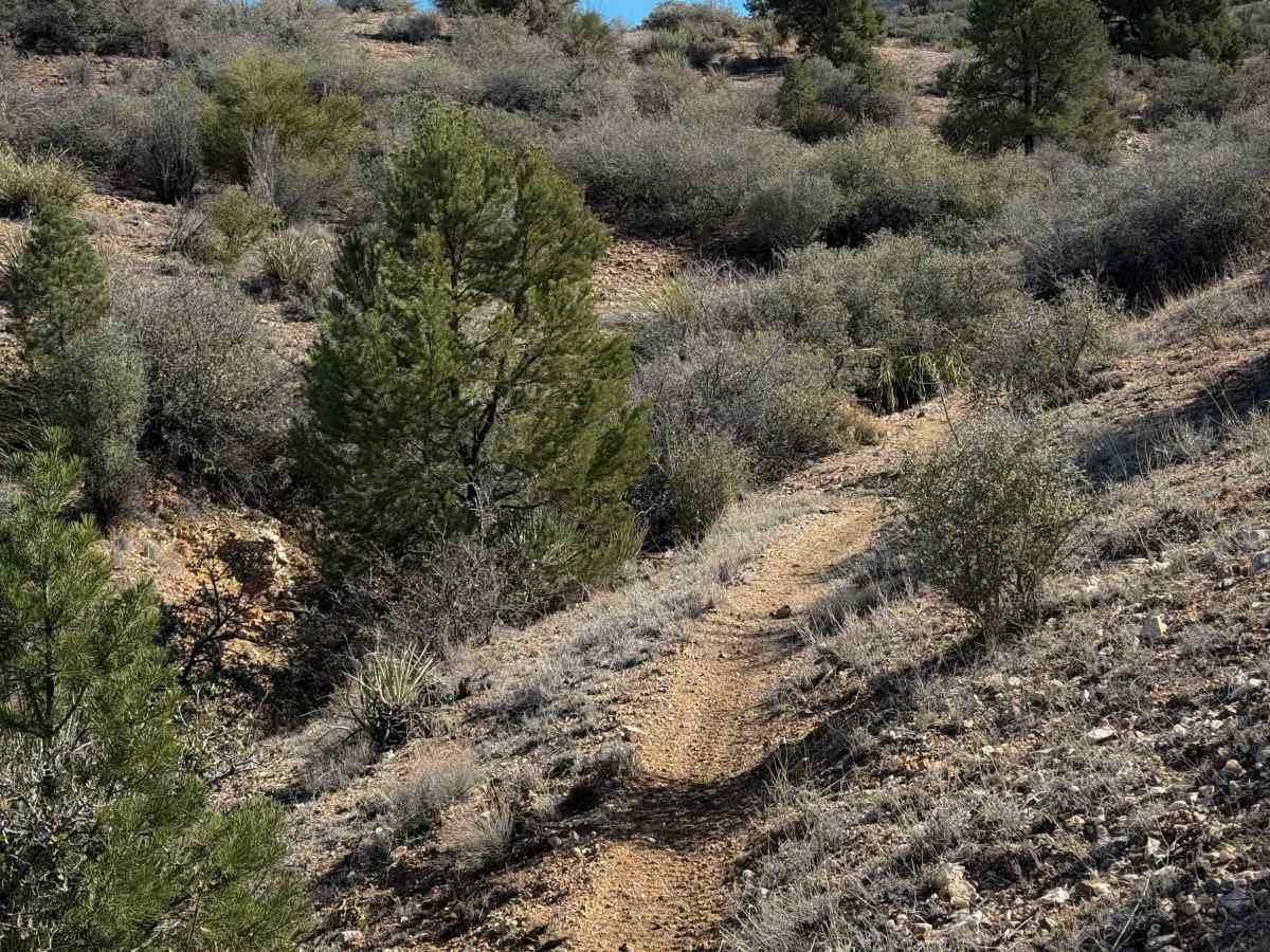
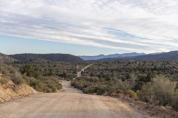
Trail Overview
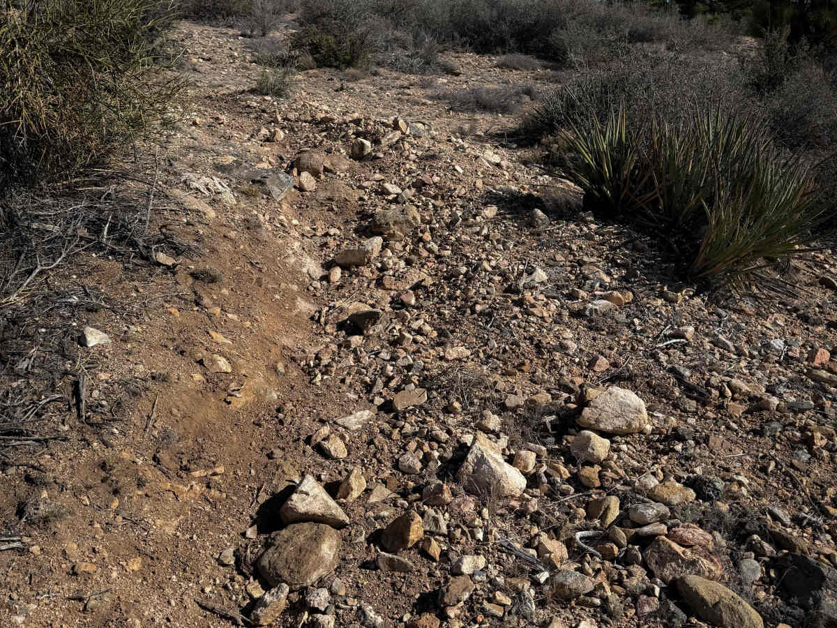
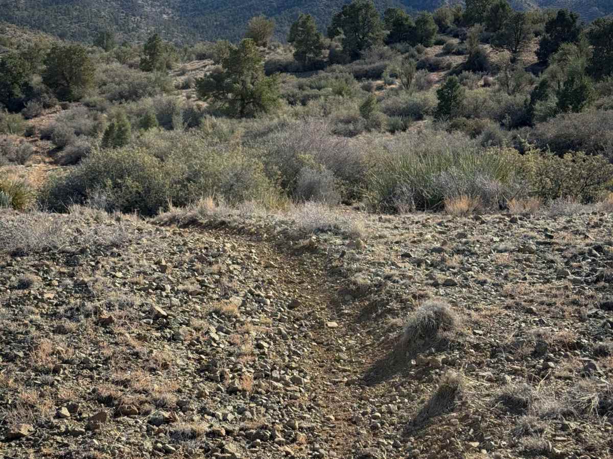
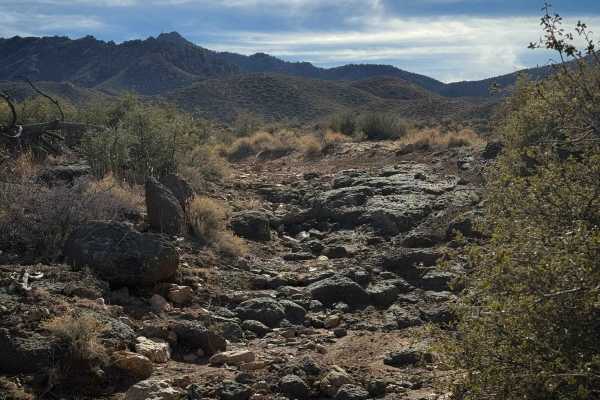
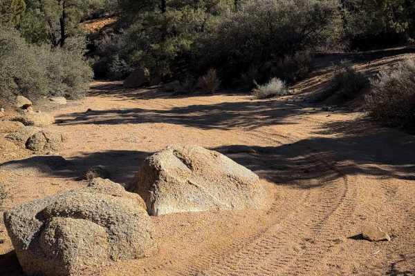
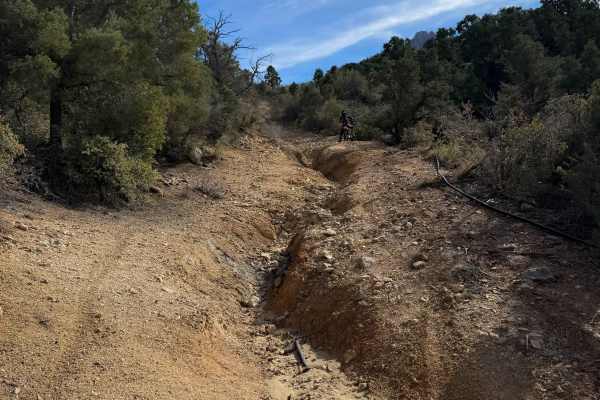
This is a short 0.8-mile-long singletrack through the BLM land below the Hualapai Mountains near Kingman, Arizona. It is easily accessible off of Sweetwater Road – but the entrance to this trail is farther south on route H1350 than the map shows. The trail itself is curvy, with small dips into rocky ravines, tight turns through the bushes, and a few embedded rocks creating small stair steps. It’s a narrow trail like a true singletrack, climbing up and over small rolling desert hills. The legal trail dead ends after 0.8 miles, so you’ll have to ride this as an out-and-back. There are lots of spiky cacti and bushes to watch out for. The trail surface is small loose rocks and pea gravel, with a few sections with bigger loose rocks on a steeper climb. Overall, it is still an easy trail and an opportunity to ride singletrack compared to the many full-width trails in this trail system.
Difficulty
Although quite rocky, this is an easy dirt bike trail because it doesn’t have any major ledges or obstacles, and is pretty gradual for the short route, and easy to follow. Watch for loose baby heads in the trail and a couple of steeper spots.