
Dirt Bike Trails
Near Upton, Wyoming
Explore All Dirt Bike Trails Near Upton, Wyoming
Dirt Bike Trails Near Upton, Wyoming
Discover the best dirt bike trails near you. Browse trail maps, check difficulty ratings, and find your next adventure — whether you're looking for a quick ride or an all-day expedition.
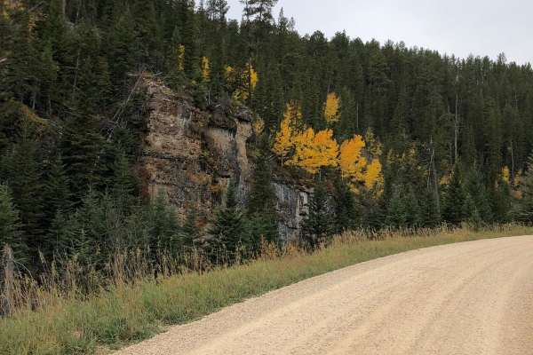
Beaver Creek Road (FS 111)
Beaver Creek Road (FS 111) is an easy, scenic gravel route through the Black Hills National Forest, making it an excellent option for scenic drivers, campers, and overlanders seeking a peaceful mountain escape. Spanning approximately 5.6 miles across the Wyoming and South Dakota border, this well-ma...
Learn more about Beaver Creek Road (FS 111)
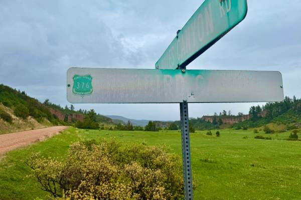
Redbird Canyon Road
Redbird Canyon Road (FS 376) is a scenic gravel route nestled within the Black Hills National Forest, offering a tranquil drive through dense pine forests and striking red rock outcrops. The road meanders through a series of homesteads before the canyon narrows, revealing a diverse mix of pine and d...
Learn more about Redbird Canyon Road
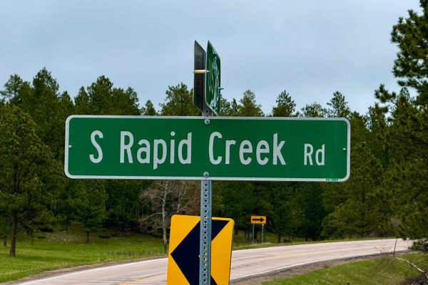
South Rapid 231.5
Don't sleep on 231.5 -- this is a full-on 12-mile run through classic northern Black Hills country, starting muddy and tight in subalpine fir and opening up as it drops toward Black Fox Campground. It runs parallel to the creek in spots, winding through some steep cuts and shaded drainages where you...
Learn more about South Rapid 231.5
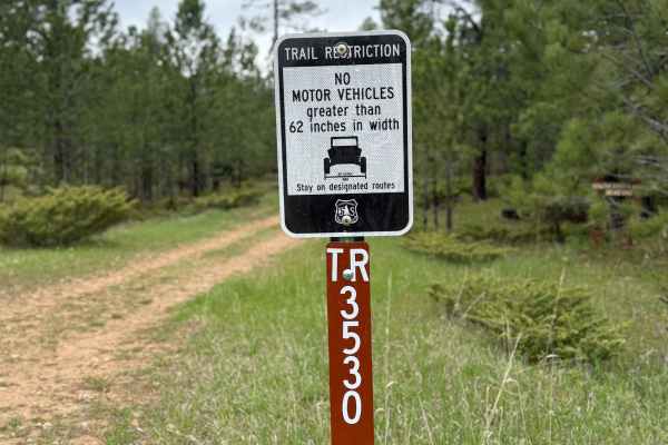
Stots Ridge
Stots Ridge is a rugged, lesser-known route that runs the spine of a long ridgeline in the southern Black Hills. It's a mix of gravel and dirt depending on the stretch, with rolling terrain that dips in and out of pine forest and scattered meadow. The vibe out here is peaceful and remote--exactly wh...
Learn more about Stots Ridge
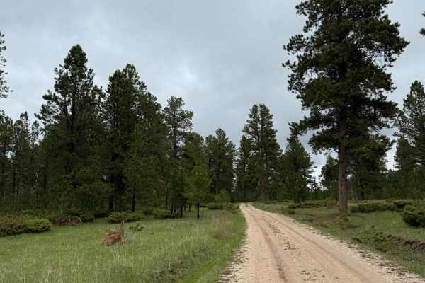
Bear Run
This trail is short, sweet, and challenging. The trail offers a slice of everything and runs underneath the power lines for a fair bit. It's not a long route, but it's a fun little challenge and a great connection if you're piecing together a loop in the area. There are no formal campsites, but ther...
Learn more about Bear Run
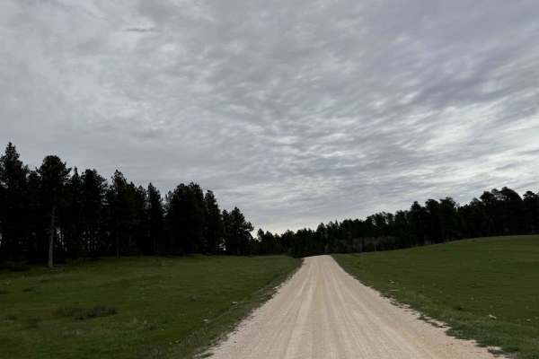
Boles Canyon North
This is a short, lesser-traveled spur branching off Boles Canyon Road (FS 117) within the Black Hills National Forest. This gravel route meanders through dense pine forests and open meadows, offering a tranquil escape for those seeking solitude. While specific details about FS 117.1 are limited, the...
Learn more about Boles Canyon North
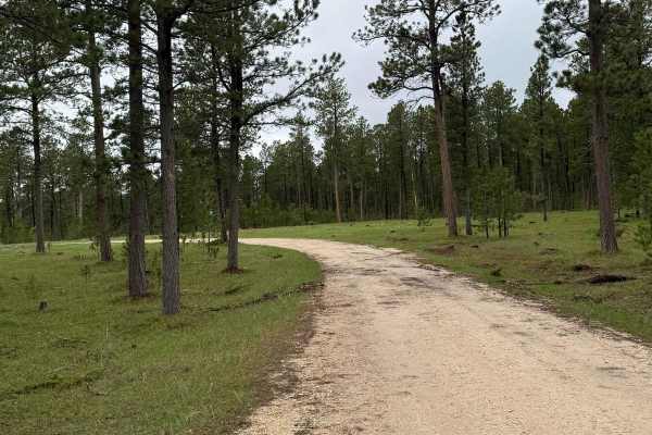
New Moon Loop
New Moon Road heading toward Rudenvale is a quiet, scenic ride through classic Black Hills country--gravel surface, lightly traveled, and surrounded by big pines and open ridges. It's one of those routes that feels like it belongs in a storybook: peaceful, remote, and perfect for folks looking to sl...
Learn more about New Moon Loop
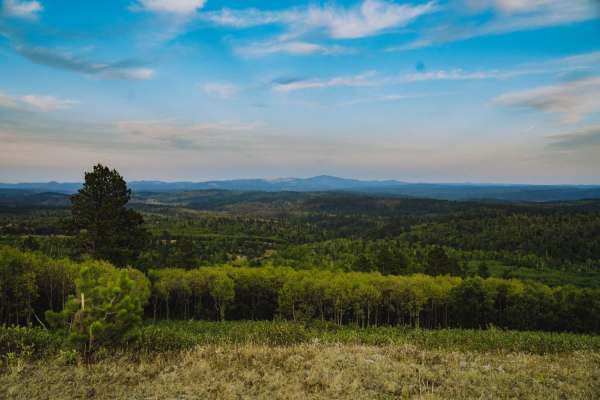
Boundary Gulch
Boundary Gulch trail is a Black Hills favorite for off-road enthusiasts of all kinds. The trail leads you to the Cement Ridge Fire lookout. Along the way, you will find ponds, scenic outlooks and the remnants of Tinton Town, an old mining town that turned into a sawmill for the area. There is privat...
Learn more about Boundary Gulch
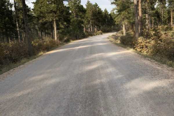
Tinton Road
Tinton Road (Forest Service Road 134) is a scenic, 25.2-mile graded gravel road connecting Spearfish, South Dakota, to the western Black Hills National Forest. Reaching 6,533 feet, this wide, flat corridor is suitable for all vehicles in dry conditions, winding through pine forests and open valleys....
Learn more about Tinton Road
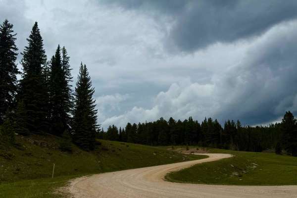
West DeerField - FS 110
West Deerfield Road (FS 110) is a scenic gravel route in the Black Hills National Forest, stretching northwest from Deerfield Reservoir. This well-maintained road meanders through dense pine forests and open meadows, offering a tranquil drive suitable for most vehicles in dry conditions. The road pr...
Learn more about West DeerField - FS 110
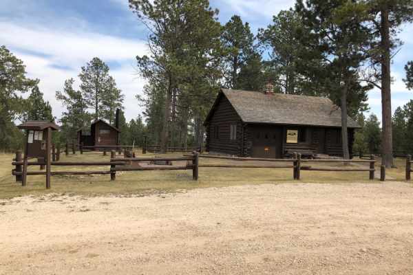
Summit Road(FS 265)
Summit Road (FS 265) is an easy, scenic gravel drive in the Black Hills National Forest that is perfect for beginners, families, and any off-road vehicle looking for a relaxing cruise with a historic reward. Spanning approximately 3.6 miles, this wide, well-maintained dirt and gravel road winds thro...
Learn more about Summit Road(FS 265)
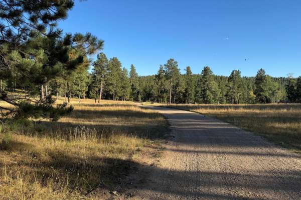
Boles Canyon
Boles Canyon is an easy route from South Rapid to Highway 85, which you can connect to Tinton Road. There is a 400-foot elevation change during this 4.9-mile route. It's a single-lane road that is navigable with any vehicle. The area is used for cattle grazing, so be on the lookout for them.
Learn more about Boles Canyon
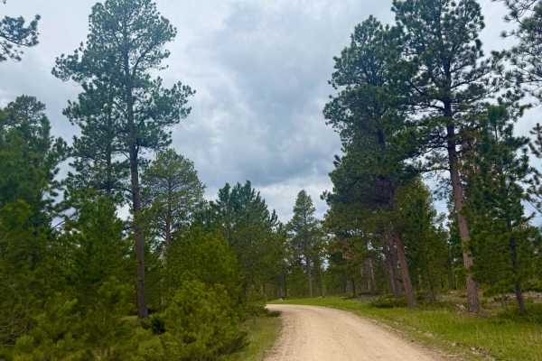
South Castle Creek
While designated camping spots are limited, the road provides access to nearby dispersed camping areas, making it suitable for those seeking a peaceful retreat. The route is characterized by its smooth surface and gentle grades, accommodating most vehicles in dry conditions. South Castle Creek Road ...
Learn more about South Castle Creek
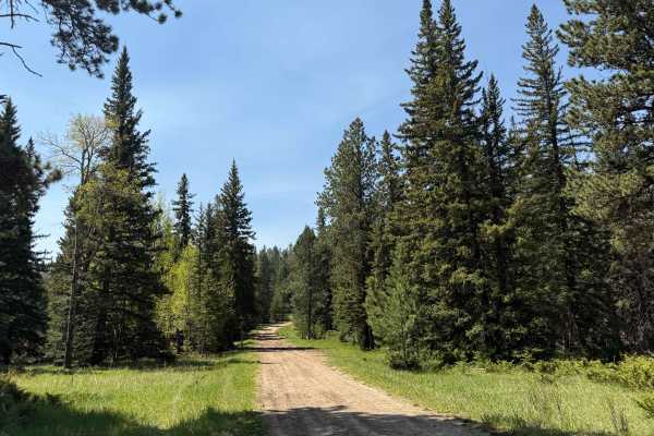
Flag Mountain - FS 189.2
This route begins near Flag Mountain’s summit—just off steep pine ridges—and follows Forest Service Road 189.2 down into the wide-open Northern Hills side of the forest. The climb starts rough: expect loose gravel, bare rock ledges, and uneven tread that’ll challenge a stock pickup from the outset. ...
Learn more about Flag Mountain - FS 189.2
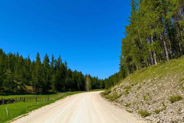
Black Fox Camp Road - FS 233
FS 233, also known as Black Fox Camp Road, is a scenic gravel road that winds through the heart of a lush, narrow valley west of Rochford. It follows the creek most of the way and is lined with willows, spruce, and open meadow, giving it a high-country alpine feel without needing to climb. The road ...
Learn more about Black Fox Camp Road - FS 233
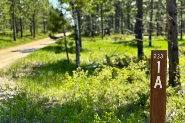
Sholt Draw FS 233.1A
This narrow two-track is rocky, rutted, and tight in spots—definitely more suited for short-wheelbase rigs until the lower portion, where it opens up into beautiful flowing tracks. It winds through pine forest and dips in and out of small draws, with occasional overgrowth and uneven tread. The trai...
Learn more about Sholt Draw FS 233.1A
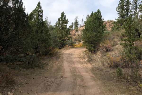
Roby Canyon FS 264
Roby Canyon FS 264 is a scenic, rocky two-track trail in the Black Hills designed for high-clearance 4x4s and smaller OHVs seeking a moderately challenging climb to a historic lookout. Stretching approximately 5.25 miles near the South Dakota and Wyoming border, the trail begins at an elevation of 4...
Learn more about Roby Canyon FS 264
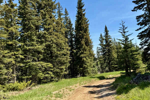
Trebor Draw - FS 631.2
Trebor Draw starts off Forest Service Road 631 and winds through the heart of Trebor Draw in the Mystic Ranger District. It’s a beautiful stretch—tight pine forest gives way to big, open plains the higher you climb. Rocky in spots with loose tread and tight turns, the trail is rough enough to keep t...
Learn more about Trebor Draw - FS 631.2
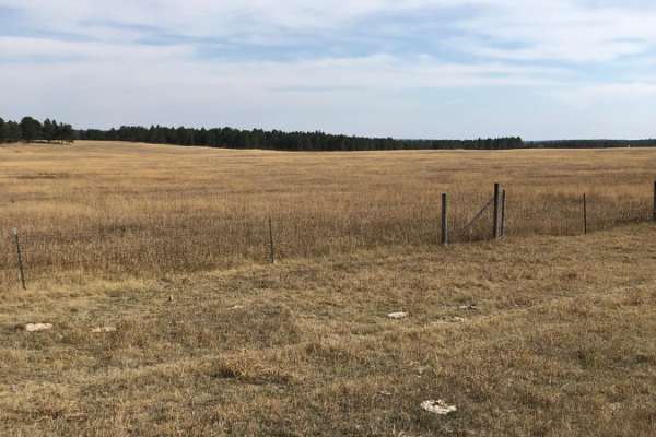
Boles Canyon (FS 117)
Boles Canyon (FS 117) is an easy-going, scenic route with dispersed camping opportunities along the Wyoming and South Dakota border. Spanning approximately 3.2 miles, this wide, well-maintained gravel road features gentle elevation changes and requires no specialized off-road equipment, making it ac...
Learn more about Boles Canyon (FS 117)
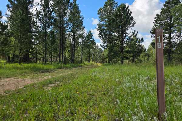
Rhoads Fork - FS 233.1B
Rhoads Fork is a Forest Service Road open to all, offering scenic views along an aspen-lined path before climbing a ridge to its designated endpoint at 44.073767, -103.904839. Although logging extends the road beyond this point, it is closed to motor vehicles. The trail provides wildflowers in seaso...
Learn more about Rhoads Fork - FS 233.1B
ATV trails near Upton, Wyoming
Explore ATV-friendly trails near you. These trails are accessible for vehicles up to 50 inches wide, perfect for ATVs and smaller off-road machines.
Beaver Creek Road (FS 111)
Beaver Creek Road (FS 111) is an easy, scenic gravel route through the Black Hills National Forest, making it an excellent option for scenic drivers, campers, and overlanders seeking a peaceful mountain escape. Spanning approximately 5.6 miles across the Wyoming and South Dakota border, this well-ma...
Learn more about Beaver Creek Road (FS 111)
Redbird Canyon Road
Redbird Canyon Road (FS 376) is a scenic gravel route nestled within the Black Hills National Forest, offering a tranquil drive through dense pine forests and striking red rock outcrops. The road meanders through a series of homesteads before the canyon narrows, revealing a diverse mix of pine and d...
Learn more about Redbird Canyon Road
South Rapid 231.5
Don't sleep on 231.5 -- this is a full-on 12-mile run through classic northern Black Hills country, starting muddy and tight in subalpine fir and opening up as it drops toward Black Fox Campground. It runs parallel to the creek in spots, winding through some steep cuts and shaded drainages where you...
Learn more about South Rapid 231.5
Stots Ridge
Stots Ridge is a rugged, lesser-known route that runs the spine of a long ridgeline in the southern Black Hills. It's a mix of gravel and dirt depending on the stretch, with rolling terrain that dips in and out of pine forest and scattered meadow. The vibe out here is peaceful and remote--exactly wh...
Learn more about Stots Ridge
UTV/side-by-side trails near Upton, Wyoming
Find UTV and side-by-side trails near you. These trails accommodate vehicles up to 60 inches wide, ideal for UTVs, side-by-sides, and wider off-road rigs.
Beaver Creek Road (FS 111)
Beaver Creek Road (FS 111) is an easy, scenic gravel route through the Black Hills National Forest, making it an excellent option for scenic drivers, campers, and overlanders seeking a peaceful mountain escape. Spanning approximately 5.6 miles across the Wyoming and South Dakota border, this well-ma...
Learn more about Beaver Creek Road (FS 111)
Redbird Canyon Road
Redbird Canyon Road (FS 376) is a scenic gravel route nestled within the Black Hills National Forest, offering a tranquil drive through dense pine forests and striking red rock outcrops. The road meanders through a series of homesteads before the canyon narrows, revealing a diverse mix of pine and d...
Learn more about Redbird Canyon Road
South Rapid 231.5
Don't sleep on 231.5 -- this is a full-on 12-mile run through classic northern Black Hills country, starting muddy and tight in subalpine fir and opening up as it drops toward Black Fox Campground. It runs parallel to the creek in spots, winding through some steep cuts and shaded drainages where you...
Learn more about South Rapid 231.5
Stots Ridge
Stots Ridge is a rugged, lesser-known route that runs the spine of a long ridgeline in the southern Black Hills. It's a mix of gravel and dirt depending on the stretch, with rolling terrain that dips in and out of pine forest and scattered meadow. The vibe out here is peaceful and remote--exactly wh...
Learn more about Stots Ridge
The onX Offroad Difference
onX Offroad combines trail photos, descriptions, difficulty ratings, width restrictions, seasonality, and more in a user-friendly interface. Available on all devices, with offline access and full compatibility with CarPlay and Android Auto. Discover what you're missing today!
Open Trail Map