Trail Overview
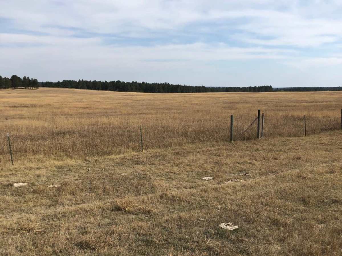
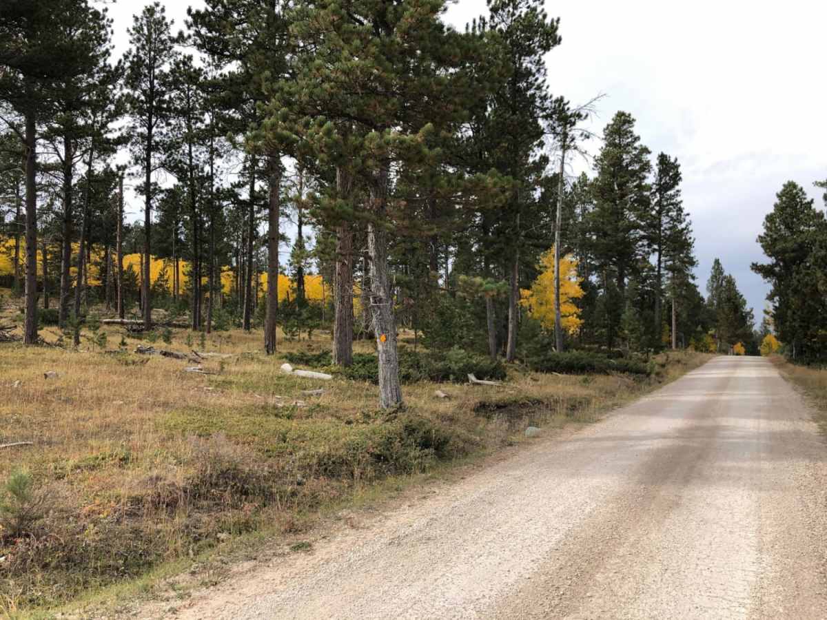
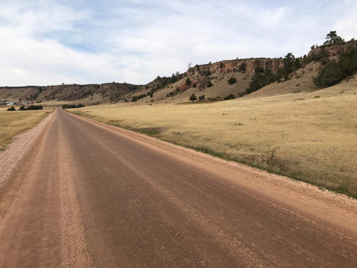
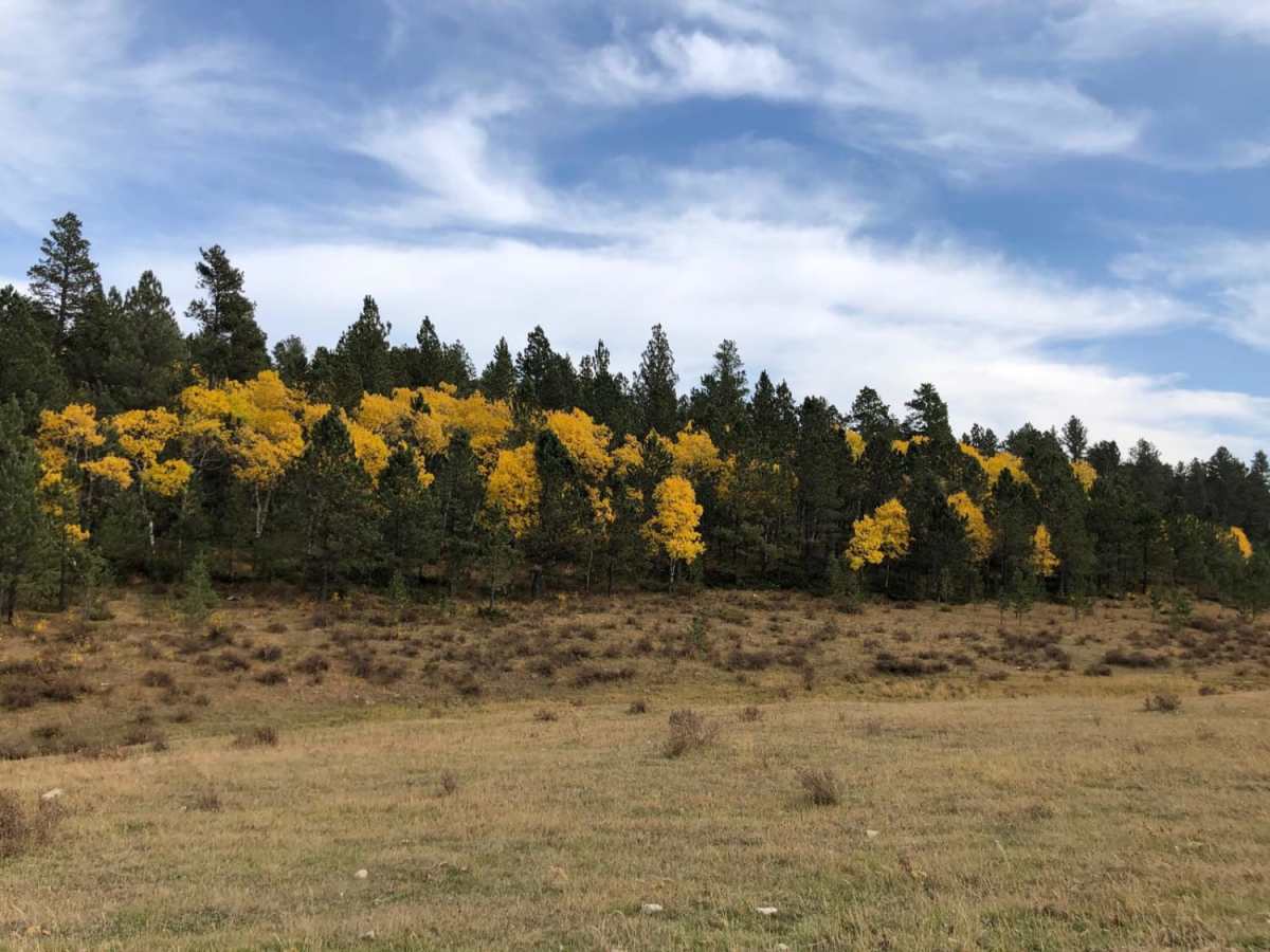
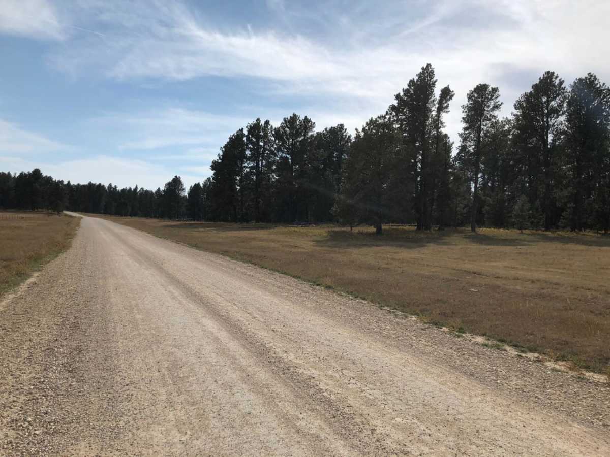
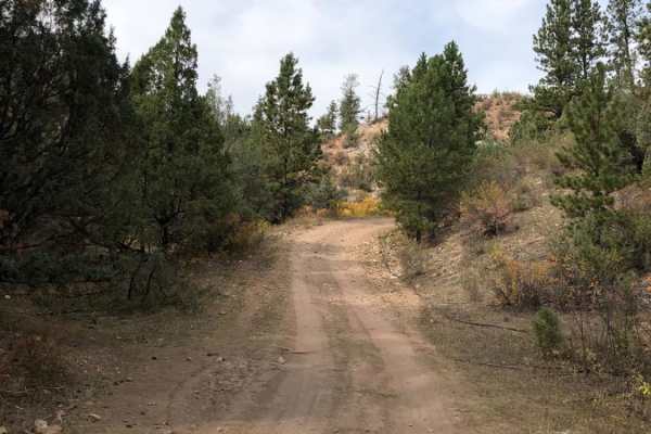
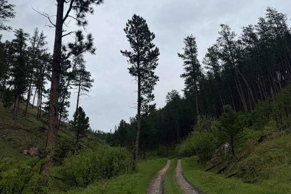
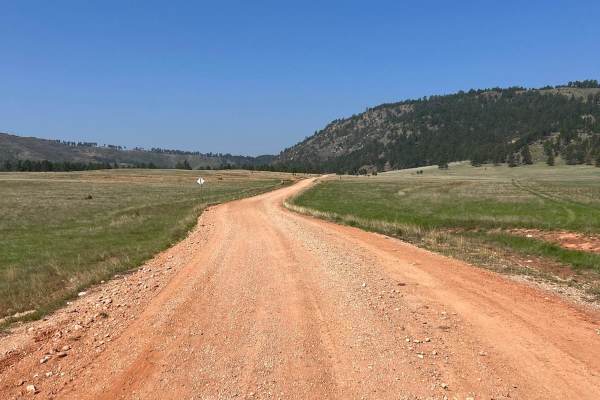
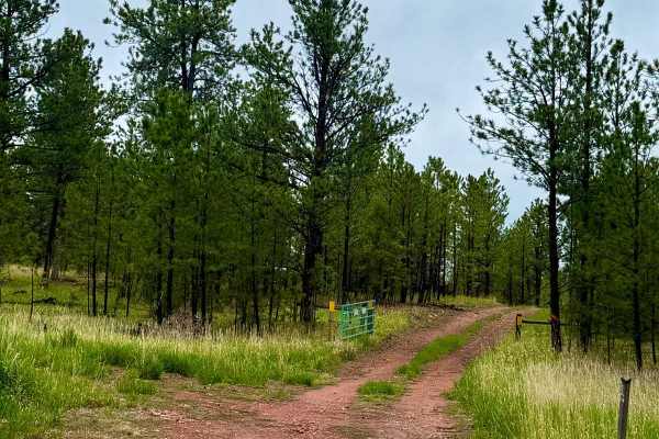
Boles Canyon (FS 117) is an easy-going, scenic route with dispersed camping opportunities along the Wyoming and South Dakota border. Spanning approximately 3.2 miles, this wide, well-maintained gravel road features gentle elevation changes and requires no specialized off-road equipment, making it accessible to standard two-wheel-drive passenger vehicles under dry conditions. The trail begins near the state line, winding through the picturesque valleys of the western Black Hills National Forest where ponderosa pines and open meadows dominate the landscape.
The route starts at an elevation of about 4,500 feet and climbs gently to 4,759 feet, gaining just over 270 feet of elevation with no major obstacles or technical challenges. It provides access to numerous dispersed campsites and connecting forest service roads, making it an excellent basecamp area for exploring the larger off-road network in the region. Boles Canyon serves as a reliable and scenic passage between Wyoming's eastern plains and South Dakota's rugged hills.
Access Description
The route is managed by the US Forest Service within the Black Hills National Forest. No permits or fees are required to drive the road or for dispersed camping, though visitors must adhere to standard forest service regulations and a 14-day stay limit for camping.