
Dirt Bike Trails
Near Umapine, Oregon
Explore All Dirt Bike Trails Near Umapine, Oregon
Dirt Bike Trails Near Umapine, Oregon
Discover the best dirt bike trails near you. Browse trail maps, check difficulty ratings, and find your next adventure — whether you're looking for a quick ride or an all-day expedition.
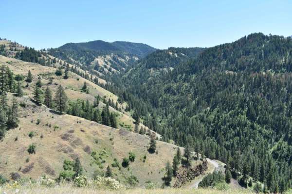
Tiger Creek
Tiger Creek is a scenic, 12.9-mile unpaved mountain route through the Umatilla National Forest, beginning south of Kooskooskie, Washington. The road follows the Tiger Creek drainage, climbing over 3,600 feet through dense forest and switchbacks with views of the Blue Mountains. Highly approachable w...
Learn more about Tiger Creek
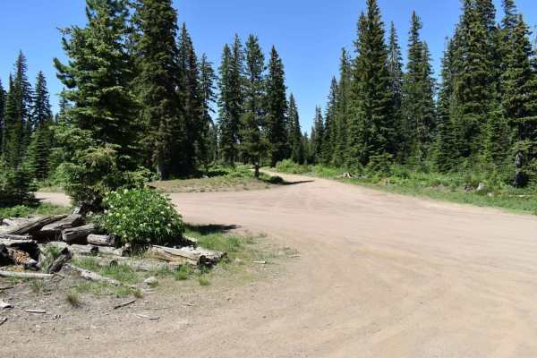
Jubilee to Tiger Creek
This trail covers a large portion of the northern section of Jubilee. This trail is covered in snow during the winter and most of spring as well. This trail was rutted in some areas, and the brush was pretty tight for my full-size truck in places. There are some nice potential campsites tucked away ...
Learn more about Jubilee to Tiger Creek
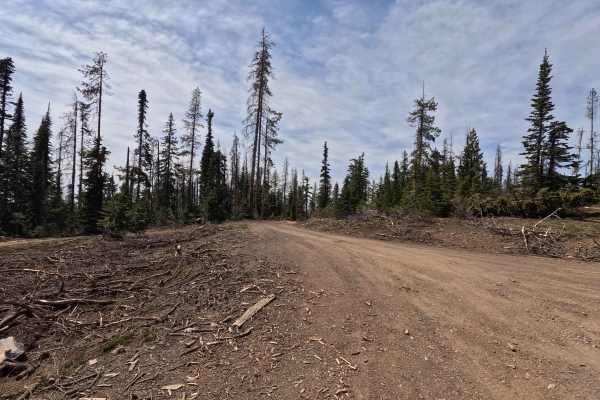
Kendall Skyline - FS 6403
Kendall Skyline is an 11.4-mile point-to-point single-lane gravel road. The route can be rough in places, with sections of rutting, mud, and narrow segments that make travel more challenging and unsuitable for low-clearance vehicles. Along the way, there are numerous viewpoints and dispersed camping...
Learn more about Kendall Skyline - FS 6403
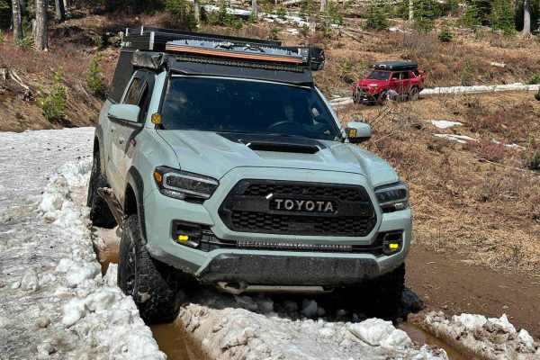
Jubilee
This is an 8.2-mile beginning chunk of the Jubilee Trail. The very beginning starts off pretty easy with a wide, primarily dirt road, however, turns to a more challenging narrow rutted section before starting to even out again. My 4 runner and my buddy's Tacoma did not have any issues width-wise, bu...
Learn more about Jubilee
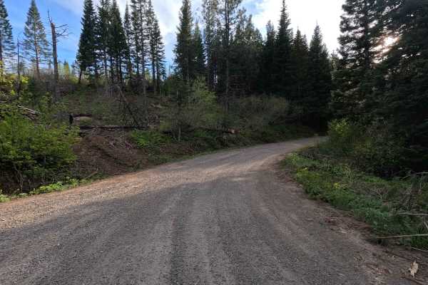
Black Mountain - FS 3128
Black Mountain Road is a 17.9-mile out-and-back single-lane gravel route. The road is tight and brushy in sections, with areas of larger gravel and occasional potholes that make it unsuitable for low-clearance vehicles. Along the route, there are numerous viewpoints, spur roads, and dispersed campin...
Learn more about Black Mountain - FS 3128
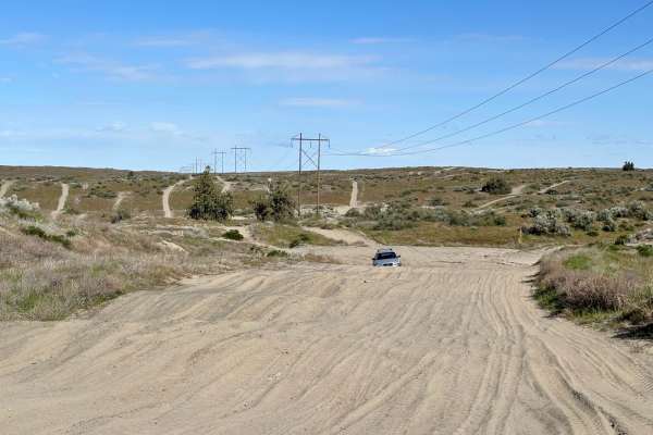
North Spur Road
This road is a mix of hard pack and sandy washes. This road is one of the spurs that lead into the north part of the Juniper Dunes Open OHV Riding area. The road is one lane and has multiple steep blind inclines and declines, as well as multiple offshoots. The further you follow the road, the more s...
Learn more about North Spur Road
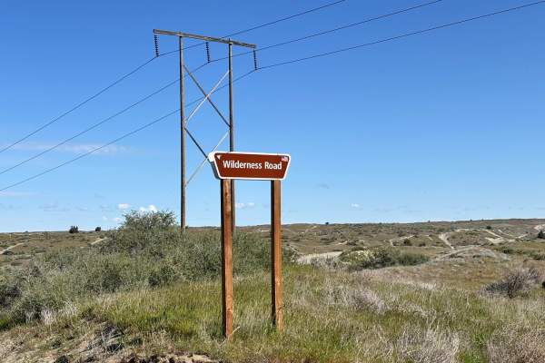
Wilderness Road
This is a one-lane route that takes you to the gate for the Juniper Dunes Wilderness Area. It is a tight, twisty, curvy, and sandy route that is a lot of fun if you have a machine that is designed to run in the desert. The trail has tight off-camber blind corners with some steep inclines and decline...
Learn more about Wilderness Road
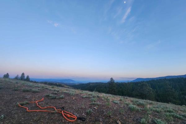
Craig's Cabin Road
Craig's Cabin Road is a just under 4-mile trail within Umatilla Forest. This trail is an offshoot of Phillips Creek. The primary trail material is dirt and small loose gravel. This route has a few run-off ruts that are easy to navigate. There is also a small washout section further down the trail. T...
Learn more about Craig's Cabin Road
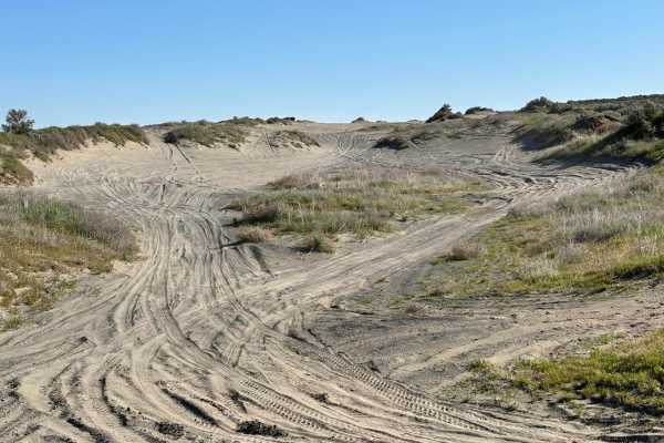
Juniper Dunes Road
This is a hard-packed, very worn-out road that is the main in and out of the Juniper Dunes OHV area. The road itself is mostly compacted desert hardpan with sandy washes mixed in. There are long stretches of whoops that will take quads, standard 4x4s, and utility-style SXSs much longer to go through...
Learn more about Juniper Dunes Road
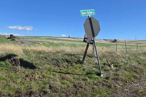
Davis Hollow Road
Davis Hollow Road is a narrow dirt road that is closed seasonally and is easily accessible by most vehicles during dry conditions. This road follows a small creek drainage for about 4 miles between Eckler Mountain Road and North Touchet Road. There are a few spots wide enough to pass oncoming vehic...
Learn more about Davis Hollow Road
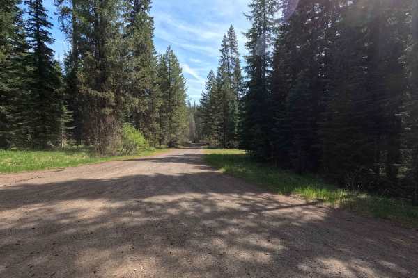
FS 6234
FS 6234 is a 3.4-mile out-and-back single-lane gravel road. The route features some potholes and passes several parcels of private property. Multiple gates are present along the road, though no closure dates are posted. Numerous spur trails branch off the main route, all of which are subject to seas...
Learn more about FS 6234
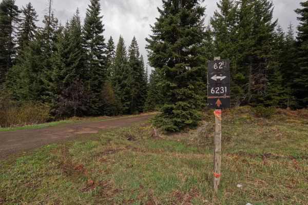
Palmer Junction - FS 6231
Palmer Junction is a 4.6-mile point-to-point, well-maintained, single-lane gravel road. Starting at an intersection with FS 62, Palmer Junction provides access to several spur trails, along with the Fry Meadows Guard Station, before ending at the border between the Umatilla National Forest and priva...
Learn more about Palmer Junction - FS 6231
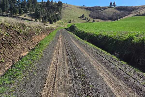
Range Grade Road
This single-lane dirt road is a nice little connector between Patit Road to the north and Eckler Mountain Rd to the south. It is closed seasonally, and there are signs at each end to notify of its status, but it can be traveled by most vehicles mid-year when conditions are dry. When wet, however, th...
Learn more about Range Grade Road
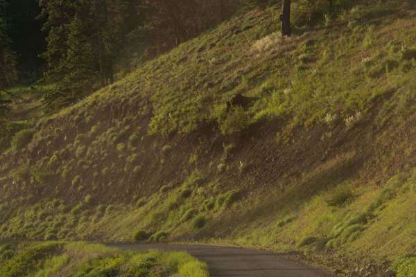
Phillips Creek
Phillips Creek Trail is approximately 10 miles long. It is worth noting that the first 2 miles of this trail are private property owned by CHANDLER GRANDE RONDE RANCH LLC. We were able to drive (slowly and cautiously) through without issue however I am not sure if the gated areas are ever closed. It...
Learn more about Phillips Creek
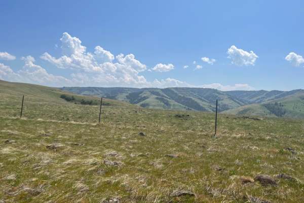
Rock the Ridge
This is a road up a rocky ridge from the valley. You will see blue mountains with views into the valleys below. The road can be challenging as it is rough and rocky. It has a variety of terrain. Both sides of the trail or road are fenced as mostly private property paralleling. There is an opportunit...
Learn more about Rock the Ridge
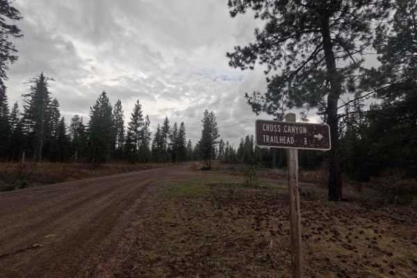
Cross Canyon - FS 6217
Cross Canyon is a 2.8-mile out-and-back gravel road that leads to the Cross Canyon Trailhead. The road is well-maintained for its entire length, with only occasional potholes. Along the route, there are several glimpses into Big Hole Canyon to the northwest. Multiple small, level pull-offs provide o...
Learn more about Cross Canyon - FS 6217
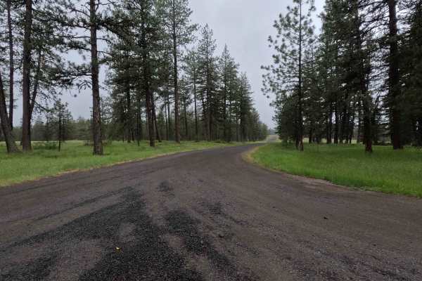
Spring Mountain - FS 3109
Spring Mountain is a 2.8-mile out-and-back route that begins as a wide road before narrowing to a single-lane gravel track. The route features numerous potholes and passes through wide, open grassy areas. The mapped trail ends, but the road continues, with conditions becoming significantly rougher. ...
Learn more about Spring Mountain - FS 3109
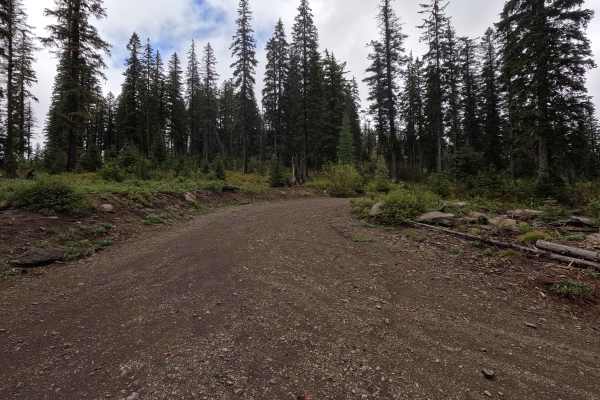
FS 3120500
FS 3120500 is a 3.6-mile point-to-point single-lane dirt road that winds through areas of new forest growth within the Wallowa-Whitman National Forest. The route is narrow and rough in places, with a small creek crossing the road at several points. As with nearby routes in the area, up-to-date mappi...
Learn more about FS 3120500
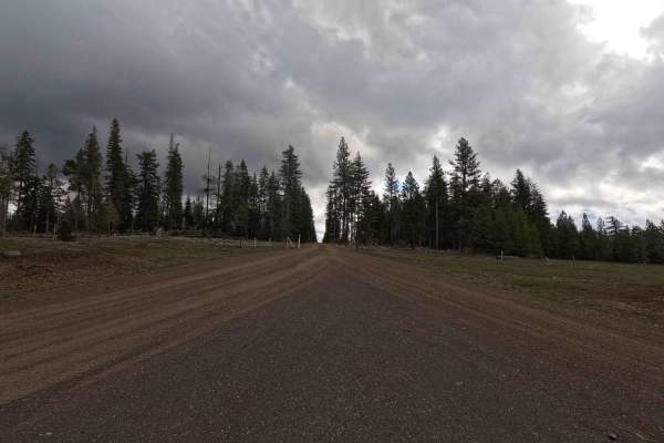
FS 6222
FS 6222 is a 7.5-mile out-and-back gravel road that branches off FS 62. The road is single-lane and well-maintained for its entire length, ending at a downed tree. Beyond this point, evidence suggests the road once continued, though it is now heavily overgrown and blocked by rocks. Despite posing li...
Learn more about FS 6222
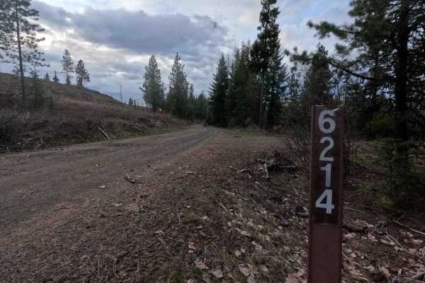
Hoodoo - FS 6214
Hoodoo is a 9.8-mile out-and-back gravel trail providing access to the Hoodoo trailhead. Winding its way through a burned area experiencing new growth, Hoodoo is a single-lane gravel road for its entire length. The trail becomes tight and brushy in some areas and features some potholes. The trail en...
Learn more about Hoodoo - FS 6214
ATV trails near Umapine, Oregon
Explore ATV-friendly trails near you. These trails are accessible for vehicles up to 50 inches wide, perfect for ATVs and smaller off-road machines.
Tiger Creek
Tiger Creek is a scenic, 12.9-mile unpaved mountain route through the Umatilla National Forest, beginning south of Kooskooskie, Washington. The road follows the Tiger Creek drainage, climbing over 3,600 feet through dense forest and switchbacks with views of the Blue Mountains. Highly approachable w...
Learn more about Tiger Creek
Jubilee to Tiger Creek
This trail covers a large portion of the northern section of Jubilee. This trail is covered in snow during the winter and most of spring as well. This trail was rutted in some areas, and the brush was pretty tight for my full-size truck in places. There are some nice potential campsites tucked away ...
Learn more about Jubilee to Tiger Creek
Kendall Skyline - FS 6403
Kendall Skyline is an 11.4-mile point-to-point single-lane gravel road. The route can be rough in places, with sections of rutting, mud, and narrow segments that make travel more challenging and unsuitable for low-clearance vehicles. Along the way, there are numerous viewpoints and dispersed camping...
Learn more about Kendall Skyline - FS 6403
Jubilee
This is an 8.2-mile beginning chunk of the Jubilee Trail. The very beginning starts off pretty easy with a wide, primarily dirt road, however, turns to a more challenging narrow rutted section before starting to even out again. My 4 runner and my buddy's Tacoma did not have any issues width-wise, bu...
Learn more about Jubilee
UTV/side-by-side trails near Umapine, Oregon
Find UTV and side-by-side trails near you. These trails accommodate vehicles up to 60 inches wide, ideal for UTVs, side-by-sides, and wider off-road rigs.
Tiger Creek
Tiger Creek is a scenic, 12.9-mile unpaved mountain route through the Umatilla National Forest, beginning south of Kooskooskie, Washington. The road follows the Tiger Creek drainage, climbing over 3,600 feet through dense forest and switchbacks with views of the Blue Mountains. Highly approachable w...
Learn more about Tiger Creek
Jubilee to Tiger Creek
This trail covers a large portion of the northern section of Jubilee. This trail is covered in snow during the winter and most of spring as well. This trail was rutted in some areas, and the brush was pretty tight for my full-size truck in places. There are some nice potential campsites tucked away ...
Learn more about Jubilee to Tiger Creek
Kendall Skyline - FS 6403
Kendall Skyline is an 11.4-mile point-to-point single-lane gravel road. The route can be rough in places, with sections of rutting, mud, and narrow segments that make travel more challenging and unsuitable for low-clearance vehicles. Along the way, there are numerous viewpoints and dispersed camping...
Learn more about Kendall Skyline - FS 6403
Jubilee
This is an 8.2-mile beginning chunk of the Jubilee Trail. The very beginning starts off pretty easy with a wide, primarily dirt road, however, turns to a more challenging narrow rutted section before starting to even out again. My 4 runner and my buddy's Tacoma did not have any issues width-wise, bu...
Learn more about Jubilee
The onX Offroad Difference
onX Offroad combines trail photos, descriptions, difficulty ratings, width restrictions, seasonality, and more in a user-friendly interface. Available on all devices, with offline access and full compatibility with CarPlay and Android Auto. Discover what you're missing today!
Open Trail Map