
Dirt Bike Trails
Near Teec Nos Pos, Arizona
Explore All Dirt Bike Trails Near Teec Nos Pos, Arizona
Dirt Bike Trails Near Teec Nos Pos, Arizona
Discover the best dirt bike trails near you. Browse trail maps, check difficulty ratings, and find your next adventure — whether you're looking for a quick ride or an all-day expedition.
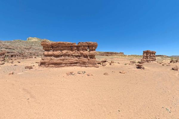
Recapture Pocket
This trail leads to Recapture Pocket, a scenic collection of hoodoos and cliffs. The trail north of Recapture Pocket is a very lightly used oil field access network, with rocky and sandy sections. Some of the more remote sections include rock ledges, sand dunes, and other challenges. A stock 4x4 or ...
Learn more about Recapture Pocket
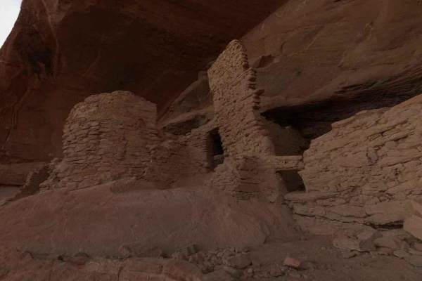
Comb Ridge
Comb Ridge is a 5.6-mile (11.2-mile round trip) out-and-back trail rated 3 of 10 located on the southern end of the Bear Ears National Monument. This trail is also known as the road to River House. This trail is rich in history both in Pre-Puebloan as well as the early Mormon settlers. This mostly h...
Learn more about Comb Ridge
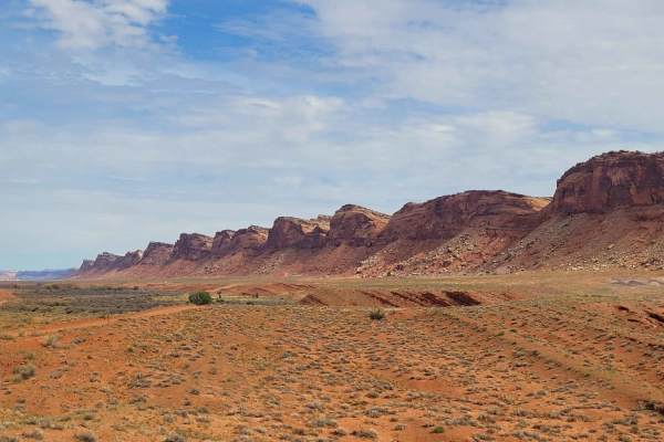
Comb Wash Road
Comb Wash Road follows the iconic Comb Ridge. The road itself is on BLM land and is suitable for most all-terrain vehicles. There are some water crossings in the Spring or when storms are nearby, so be careful to pay attention to weather reports. There are many side trails that lead to petroglyphs a...
Learn more about Comb Wash Road

Mexican Hat Ranch Road
This is an interesting drive past the local landfill. A high-clearance 4x4 is highly recommended. The road is a mix of dirt, gravel, and rocks, and some of the terrain is uneven. The parking areas are at the end of the road--the farthest one is about 1 mile out. There are low points and great vistas...
Learn more about Mexican Hat Ranch Road
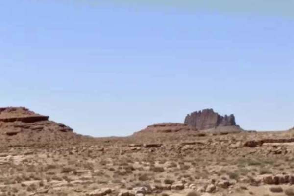
CR 244 Johns Canyon Road
This is a graded dirt road, maintained sometimes. There are several side roads you can take. You'll see open desert terrain but have views of the rims and cliffs as you drive down the road. This road starts from CR 316 heading west. CR 244 continues beyond this track, heading farther west and north....
Learn more about CR 244 Johns Canyon Road
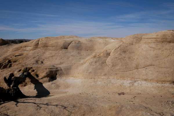
Hidden Trail
This is a moderate SXS trail through the Glade Run Recreation Area. There is no trail sign at the beginning or throughout the route, so it's helpful to have a GPS map here to stay on track. The west end starts by climbing up a dirt hill to a slickrock layer on top of the mesa. As it winds atop the m...
Learn more about Hidden Trail
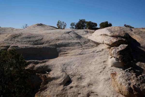
New Years
New Years Trail is a double black diamond 4x4 jeep trail that will require a minimum of 37"+ tires and front and rear lockers, and it's recommended to have winches, skid plates, and proper recovery gear. The south end starts in a wash, winds through junipers with big boulders in the trail and next t...
Learn more about New Years
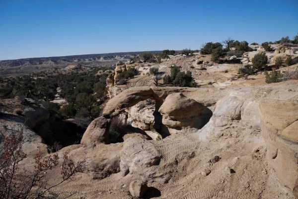
Arch Trail
Arch Trail starts on a dirt trail on top of the mesa with slickrock layers and has lots of moderate and advanced obstacles throughout the 1 mile route, plus more optional obstacles to test your driving skills and vehicle. It goes along the rim of the mesa, with great views over the edge. There is a ...
Learn more about Arch Trail
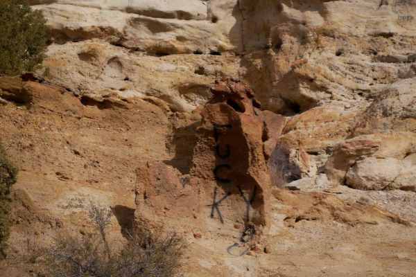
Bone Crusher
Bone Crusher is a short but extreme rock crawling trail. It has multiple split-line obstacles where you can choose an extreme or less challenging path. From the west end, it starts off with a narrow climb up a slickrock waterfall, in a V between the rock walls, where you'll likely be grinding the si...
Learn more about Bone Crusher
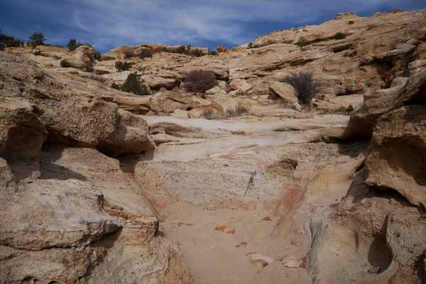
Big Johnson
There's a gatekeeper right at the southern entrance to Big Johnson that is a tall vertical wall about 6+ feet tall, approached through a narrow slot in the rock formation. If the gatekeeper is at your limit of difficulty, you shouldn't proceed. After the first obstacle, going east is the main extrem...
Learn more about Big Johnson
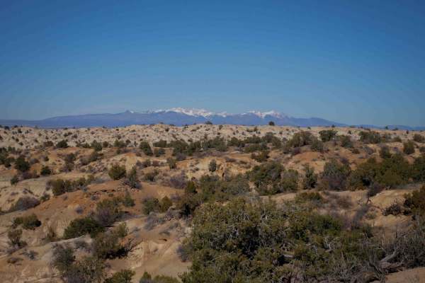
ATV Rim
This is an easy ATV trail in the Glade Run Recreation Area that winds between juniper trees in a high desert terrain. It's mostly dirt, with a bit of sand, with lots of whoops. It's ATV width for 50" vehicles and is marked by ATV signs the whole route. The west end starts off of a main dirt road, an...
Learn more about ATV Rim
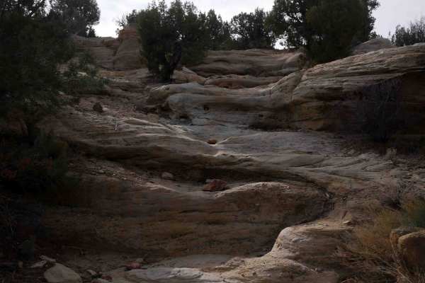
7 Waterfalls
7 Waterfalls is a short but gnarly rock-crawling trail in the Glade Run Recreation Area. It has several extreme waterfall obstacles that are 6-foot or more tall ledges that are nearly vertical. The trail makes a figure 8 shape, and you'll likely want to do it in a counterclockwise direction starting...
Learn more about 7 Waterfalls
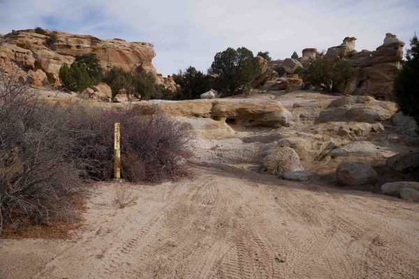
Waterfall
This is a 1.5-mile long rock crawling trail full of advanced obstacles. They often have split lines, with easier versus harder lines to choose from, and sometimes have a bypass, but most of the obstacles require extreme caution, driver experience, proper recovery gear, and it's helpful to have vehic...
Learn more about Waterfall
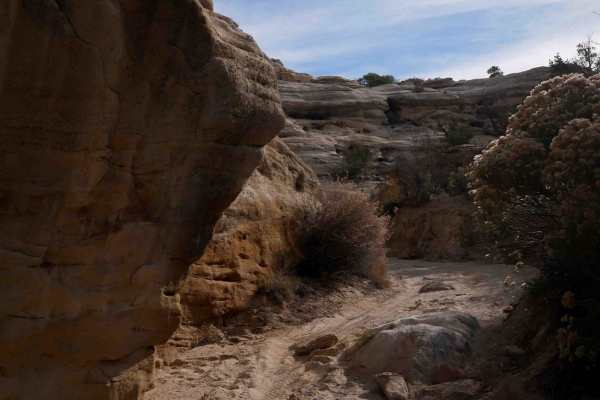
Skinny Canyon
Skinny Canyon is an intermediate trail in the Glade Run Recreation Area that starts from the north in a sand wash. It's wide to start but narrows up as you go south. It's only a third of a mile but leads to one of the most extreme obstacles in the recreation area, which is Beaver Falls. It comes up ...
Learn more about Skinny Canyon
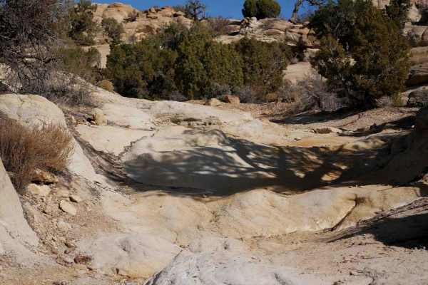
Glade Run ATV
This is an easy desert ATV trail through the Glade Run Recreation Area. It's a mix of hardpacked dirt and slickrock with 1-foot ramped rock ledges and uneven layers of slickrock. It goes between cool rock formations and big juniper trees, making quick curves through the trees. It's a fun and fast tr...
Learn more about Glade Run ATV
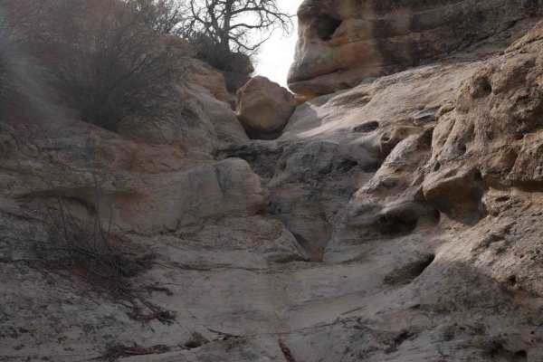
Beaver Falls
After the Skinny Canyon, if you take the loop to the west, the wash narrows up and gets really rocky, with several big boulders a couple of feet tall, and a foot-tall ledge all the way across the wash. It comes up to an extreme obstacle that is at least 10 feet tall, with a crack down the middle and...
Learn more about Beaver Falls
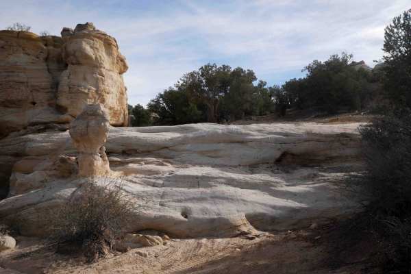
Bear Trail
Bear Trail starts after the Skinny Canyon and makes a semi-circle to the top of Beaver Falls as an easier alternative to Beaver Falls (but still challenging). Once at the top of Beaver Falls, you can bail out to the west onto an easier road. As you start the loop after Skinny Canyon, you'll go up a ...
Learn more about Bear Trail
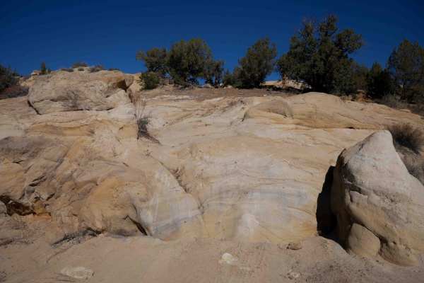
Cobra
Cobra starts off from the south end with several advanced slickrock ledges right away. They are steep ~5-foot-tall rock ledges. There is an optional challenging obstacle between two tall and skinny rock pinnacles near the beginning. It drops down into a wide sandy wash with signs to follow for the r...
Learn more about Cobra
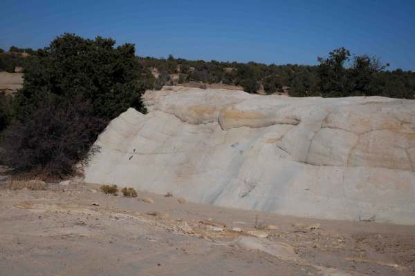
RJs
RJs is a short trail in the Open OHV Area of the Glade Run Recreation Area. It starts with a couple of advanced slickrock obstacles, having to go up a ~5-foot tall rock wall, before becoming a sandy Jeep trail between the juniper trees in a wash. It turns north out of the wash at a series of a coupl...
Learn more about RJs
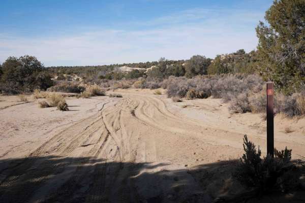
North Twin Wash to Pickering Arroyo ATV
This is an almost 4-mile-long wash loop that is designated for ATVs. The southeast entrance enters the North Twin Wash and heads west. It's a smooth and wide white sand wash, with rock walls to the side, lots of bushes, and pinyon lining the wash. There are several unmarked wash intersections, so th...
Learn more about North Twin Wash to Pickering Arroyo ATV
ATV trails near Teec Nos Pos, Arizona
Explore ATV-friendly trails near you. These trails are accessible for vehicles up to 50 inches wide, perfect for ATVs and smaller off-road machines.
Recapture Pocket
This trail leads to Recapture Pocket, a scenic collection of hoodoos and cliffs. The trail north of Recapture Pocket is a very lightly used oil field access network, with rocky and sandy sections. Some of the more remote sections include rock ledges, sand dunes, and other challenges. A stock 4x4 or ...
Learn more about Recapture Pocket
Comb Ridge
Comb Ridge is a 5.6-mile (11.2-mile round trip) out-and-back trail rated 3 of 10 located on the southern end of the Bear Ears National Monument. This trail is also known as the road to River House. This trail is rich in history both in Pre-Puebloan as well as the early Mormon settlers. This mostly h...
Learn more about Comb Ridge
Comb Wash Road
Comb Wash Road follows the iconic Comb Ridge. The road itself is on BLM land and is suitable for most all-terrain vehicles. There are some water crossings in the Spring or when storms are nearby, so be careful to pay attention to weather reports. There are many side trails that lead to petroglyphs a...
Learn more about Comb Wash Road
Mexican Hat Ranch Road
This is an interesting drive past the local landfill. A high-clearance 4x4 is highly recommended. The road is a mix of dirt, gravel, and rocks, and some of the terrain is uneven. The parking areas are at the end of the road--the farthest one is about 1 mile out. There are low points and great vistas...
Learn more about Mexican Hat Ranch Road
UTV/side-by-side trails near Teec Nos Pos, Arizona
Find UTV and side-by-side trails near you. These trails accommodate vehicles up to 60 inches wide, ideal for UTVs, side-by-sides, and wider off-road rigs.
Recapture Pocket
This trail leads to Recapture Pocket, a scenic collection of hoodoos and cliffs. The trail north of Recapture Pocket is a very lightly used oil field access network, with rocky and sandy sections. Some of the more remote sections include rock ledges, sand dunes, and other challenges. A stock 4x4 or ...
Learn more about Recapture Pocket
Comb Ridge
Comb Ridge is a 5.6-mile (11.2-mile round trip) out-and-back trail rated 3 of 10 located on the southern end of the Bear Ears National Monument. This trail is also known as the road to River House. This trail is rich in history both in Pre-Puebloan as well as the early Mormon settlers. This mostly h...
Learn more about Comb Ridge
Comb Wash Road
Comb Wash Road follows the iconic Comb Ridge. The road itself is on BLM land and is suitable for most all-terrain vehicles. There are some water crossings in the Spring or when storms are nearby, so be careful to pay attention to weather reports. There are many side trails that lead to petroglyphs a...
Learn more about Comb Wash Road
Mexican Hat Ranch Road
This is an interesting drive past the local landfill. A high-clearance 4x4 is highly recommended. The road is a mix of dirt, gravel, and rocks, and some of the terrain is uneven. The parking areas are at the end of the road--the farthest one is about 1 mile out. There are low points and great vistas...
Learn more about Mexican Hat Ranch Road
The onX Offroad Difference
onX Offroad combines trail photos, descriptions, difficulty ratings, width restrictions, seasonality, and more in a user-friendly interface. Available on all devices, with offline access and full compatibility with CarPlay and Android Auto. Discover what you're missing today!
Open Trail Map