Trail Overview
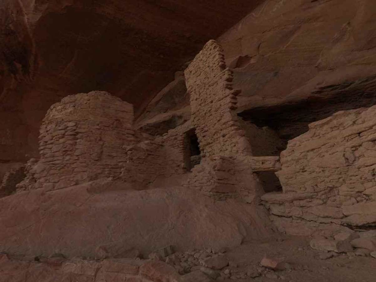
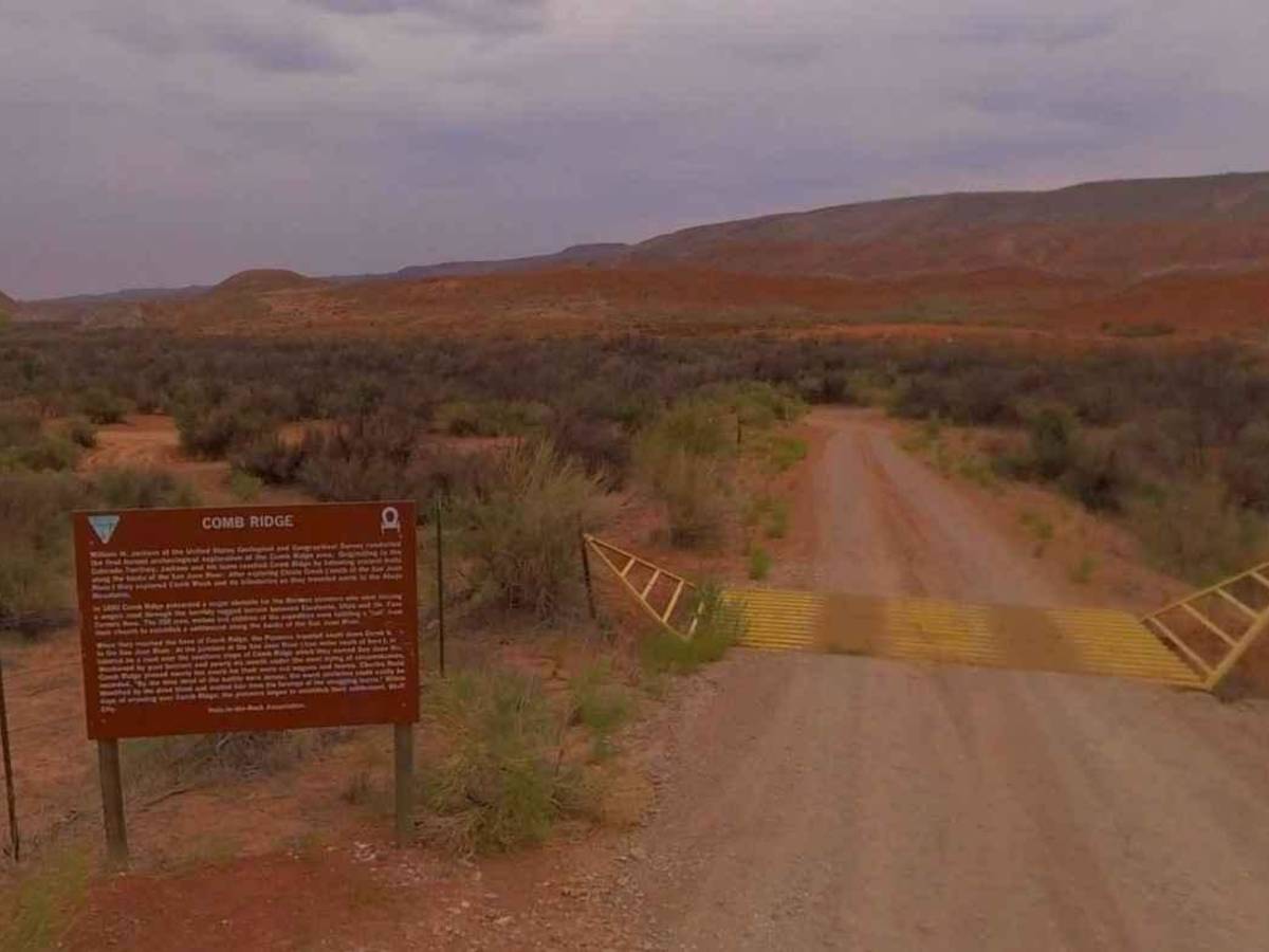
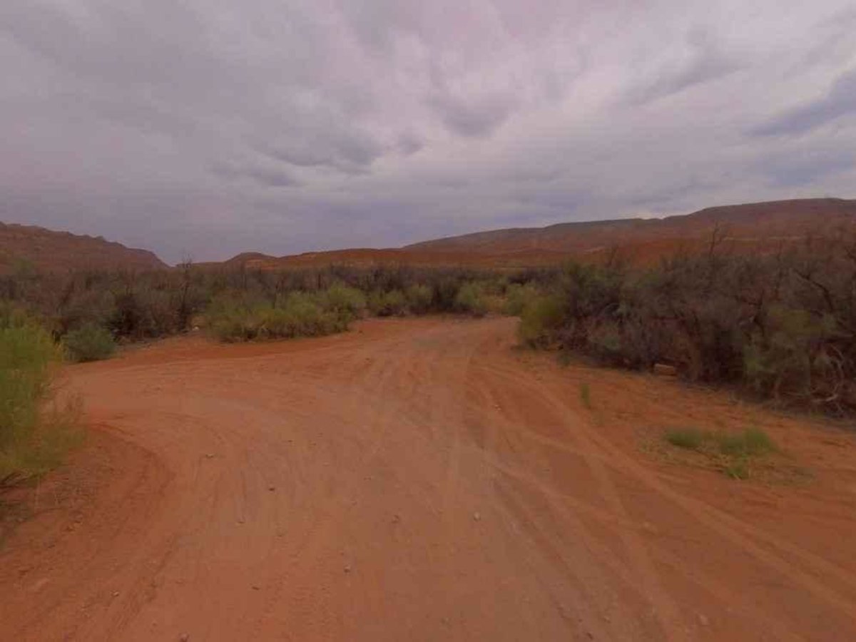
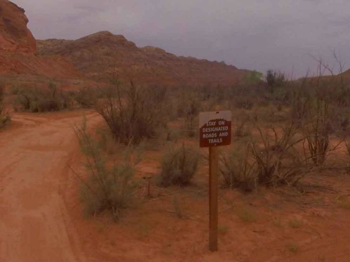
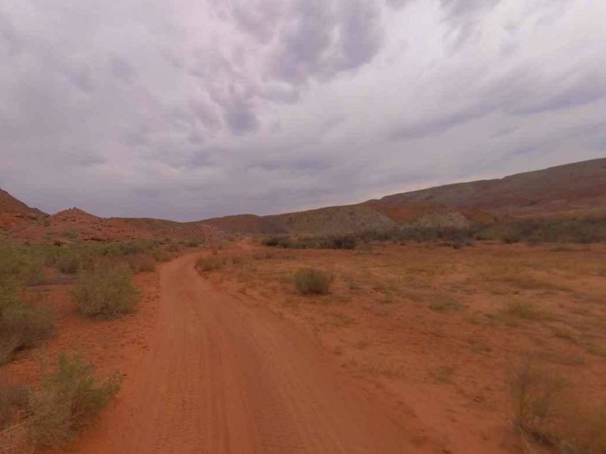
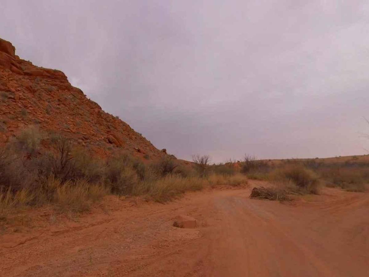
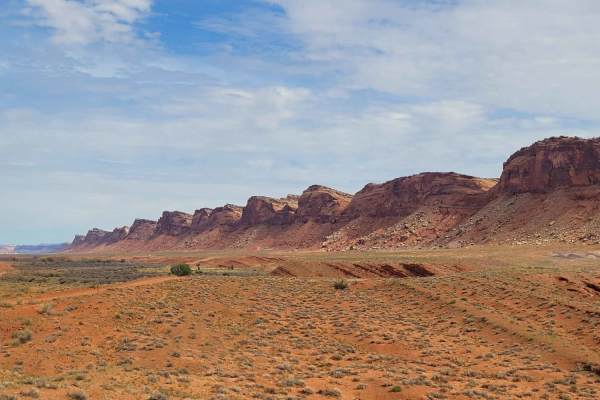
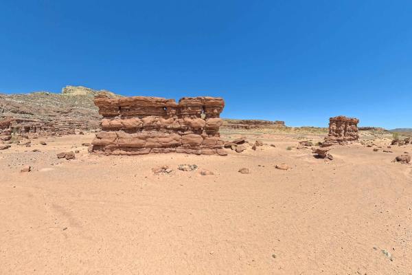
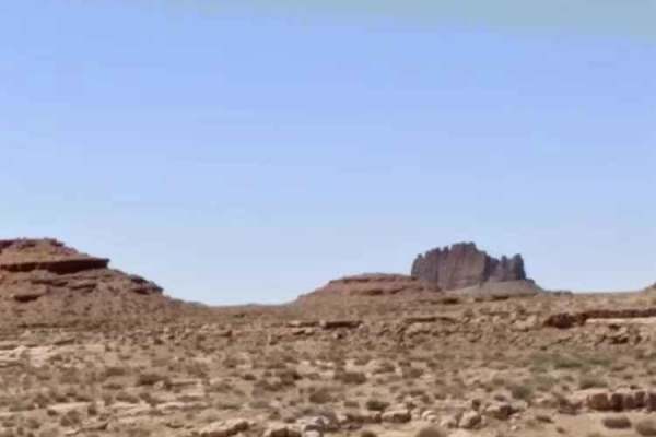
Comb Ridge is a 5.6-mile (11.2-mile round trip) out-and-back trail rated 3 of 10 located on the southern end of the Bear Ears National Monument. This trail is also known as the road to River House. This trail is rich in history both in Pre-Puebloan as well as the early Mormon settlers. This mostly hard-packed dirt trail runs down the western side of Comb Ridge until it meets the San Juan River. This unique geological characteristic made for an ideal crossing of the San Juan River and as history shows was a gathering place for human inhabitants for centuries. The run south from Highway 163 provides scenic views of expansive cliffs, rocky peaks, and a lush green valley. At 4 miles the trail turns east into the San Juan River valley where there are various sites to visit. The National Parks Service has restricted travel in parts of this area to protect the delicate environment. Walking off-trail is permitted, but vehicles must remain on designated trails and parking areas. A trail to the north leads up to San Juan Hill where the Pioneer Inscription can be found. Continuing east to the Rincone site. Being a popular site for the fording of the river, William Hyde established a trading post here in the early 1880s to trade with the Native Americans. In 1885 Hyde's son-in-law and partner, Amasa Barton, moved to the Rincone to run the enterprise. Barton built a log home, warehouse, blacksmith shop, corral, and established a garden. Continuing east a short distance is the River House Ruins. River House Ruin is one of the largest ruins in the area. A short trail leads to the site which people are allowed to explore. Remember this is a cultural site so look but don't remove anything. There are several petroglyphs in and among the dwelling. The ruins are believed to date back to the ancestral Puebloan people, also known as the Anasazi, who inhabited the area from around 1200 BC to 1300 AD. There are several other petroglyph sites further east to include Joe's Corral and the Kachina Panels. The number, size, and detail of the Kachina panels is absolutely amazing. The drive down and back can take about 1 hour but expect to spend a half day exploring the area. The nearest services are in Bluff to the east and Mexican Hat to the west. Don't expect cell phone reception.
Difficulty
Trail consisting of loose rocks, dirt, and sand with some slick rock surfaces, mud holes possible, no steps higher than 12". Because the road crisscrosses the wash, floods often change the condition and even the path of the road.
History
Points of Interest: San Juan Hill Sign, Pioneer Inscription, Rincone, River House Ruin Trailhead, River House Ruin, Petroglyph Panel, Joe's Corral, Kachina Trailhead, and Kachina Panel