
Dirt Bike Trails
Near Sturgis, South Dakota
Explore All Dirt Bike Trails Near Sturgis, South Dakota
Dirt Bike Trails Near Sturgis, South Dakota
Discover the best dirt bike trails near you. Browse trail maps, check difficulty ratings, and find your next adventure — whether you're looking for a quick ride or an all-day expedition.
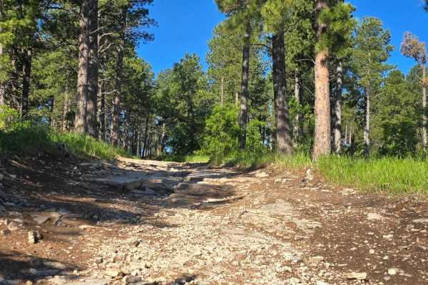
Black Hills Forest Access from Sturgis
Ride from downtown Sturgis, and within just 2 miles, you're on dirt. This is a fun hilly rocky trail that takes you into the Black Hills National Forest without having to travel busy Highway 14A. From this trail, which goes over Red Hill, you can access the Camp 5/Calamity Jane trails area or go to ...
Learn more about Black Hills Forest Access from Sturgis
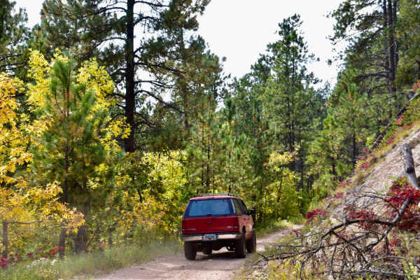
Bulldog
Bulldog is an exceptionally scenic, beginner-friendly trail in the Black Hills National Forest that is perfect for offroaders wanting to experience stunning autumn colors and sweeping mountain vistas without navigating difficult obstacles. Winding through the hills southwest of Sturgis, this route c...
Learn more about Bulldog
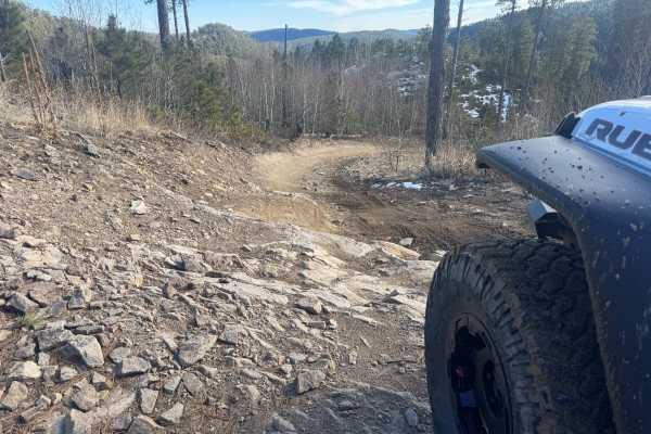
Lost Gulch - FS 172.1
Lost Gulch (FS 172.1) is a minimally maintained forest service road that takes you between the Camp 5 area and Galena. This trail runs north and south. This trail is a combination of hard-packed dirt, loose rocks, larger stationary rocks, and loose gravel. There are large ruts and mud puddles throug...
Learn more about Lost Gulch - FS 172.1
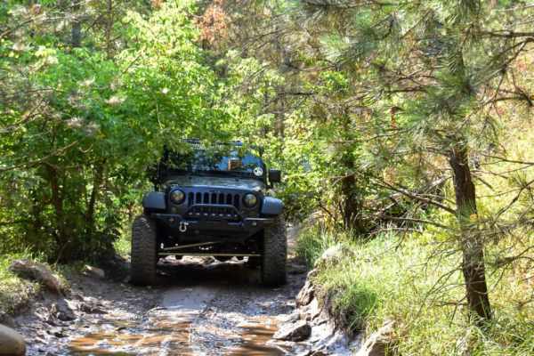
Camp 5
This is a fun trail that offers access to several other trails in the area, such as Calamity Canyon and Kong, and it parallels Hal Johns for much of the trail. There are several spots that require careful tire placement. The trail is narrow with tight trees in many spots along the trail, so expect p...
Learn more about Camp 5
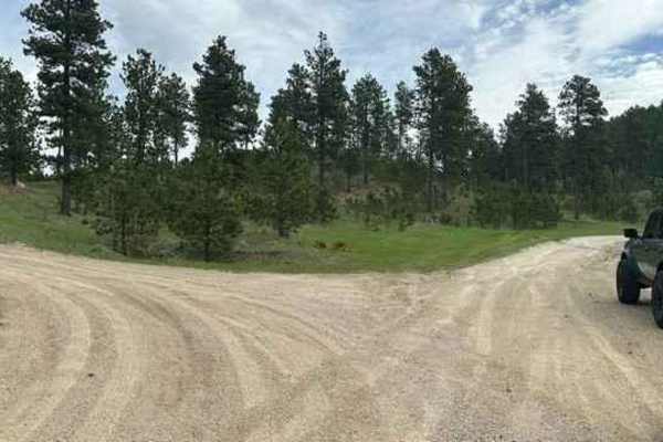
Veterans Peak Trail
This short 0.7-mile trail is an offshoot of Bulldog Trail, quick, and easily accessible from Vanocker Canyon. Upon leaving the highway, you will be presented with two choices. The left trail is Veterans Peak. This is a narrow trail that has a few pull-off locations for oncoming traffic but you'll wa...
Learn more about Veterans Peak Trail
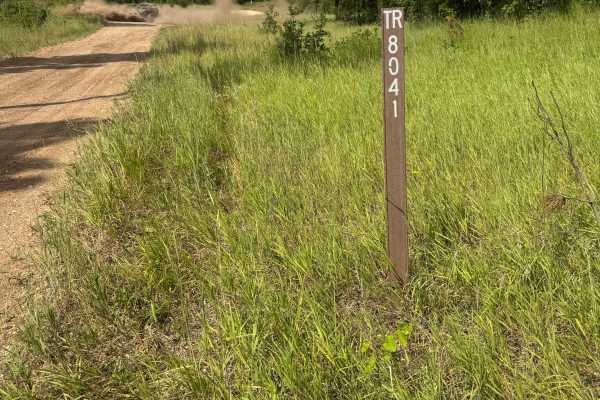
Pillar Peak - FS 8041
This trail begins just off Lost Gulch - FS 172.1 and winds uphill before traversing over to an intersection with Pillar Peak - FS 8040. It is an easy-to-traverse leg of the alternate route from Lost Gulch - FS 172.1 over to Galena. It is a combination of gravel and sand/silt roadbed. This section of...
Learn more about Pillar Peak - FS 8041
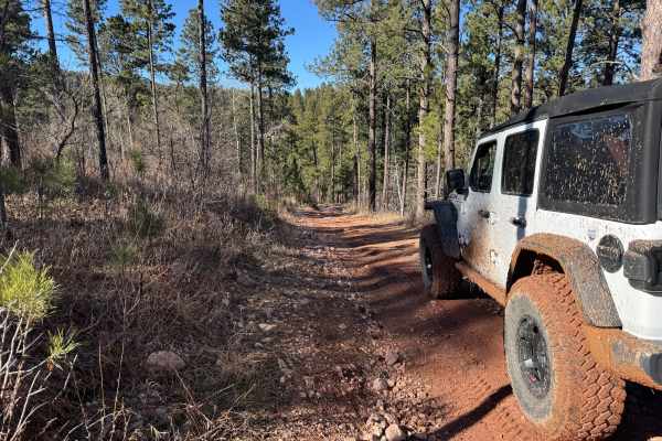
FS 567.1
This trail is a 1.6-mile connecting route between Lost Gulch (FS 172.1) and the China Wall Trail. It consists of packed gravel, loose rocks, mild climbs and descents, as well as smaller ruts and mud puddles. It meets up with Lost Gulch at (44.36499, -103.61948) and connects to the China Wall Trail a...
Learn more about FS 567.1
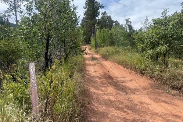
Pillar Peak - FS 8040
This trail consists of large embedded rocks, loose rocks, gravel, dirt, deep ruts, off-camber climbs, and small rock gardens. The trail begins off Pillar Peak 8041 and terminates at a junction with Lost Gulch - FS 172.1H. This section of trail is challenging, with deep ruts cut into somewhat steep c...
Learn more about Pillar Peak - FS 8040
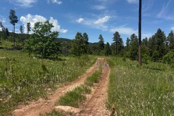
Forbes Gulch Br 1d - FS 169.1D
Forbes Gulch Br 1D - FS 169.1D is a minimally maintained Forest Service road that is an out-and-back. The trail is a combination of dirt and small loose rocks. There are several mud puddles that may or may not have water depending on local conditions. These mud puddles may be up to 10 inches deep. T...
Learn more about Forbes Gulch Br 1d - FS 169.1D
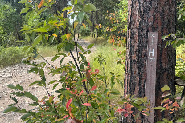
Lost Gulch Branch 1H - FS 172.1H
This road connects Lost Gulch - FS 172.1 to Pillar Peak - FS 8040. This trail is a combination of loose rock, gravel, and dirt. There are some shelf road sections with nice views down into Lost Gulch. This is a mild trail connecting to a much harder trail. This trail is a great route when combined w...
Learn more about Lost Gulch Branch 1H - FS 172.1H
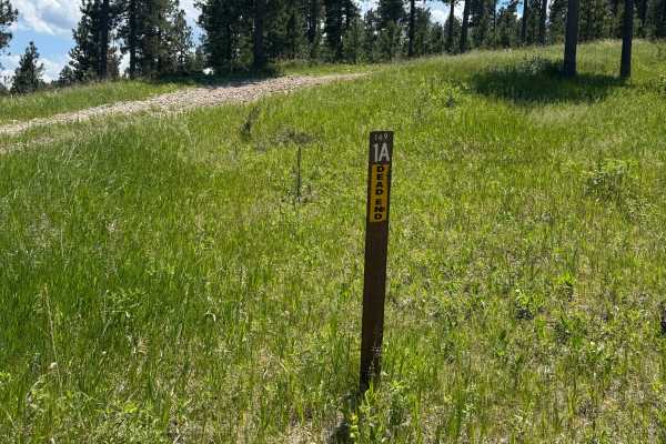
Forbes Gulch Br 1a - FSR 169.1A
This trail consists of loose rock, gravel, and some grassy two-track. There are a couple of spots that can hold water, but not more than 12 inches. This is an out-and-back trail with a nice area at the end for dispersed camping. This trail is very short and can be completed in under 15 mins.
Learn more about Forbes Gulch Br 1a - FSR 169.1A
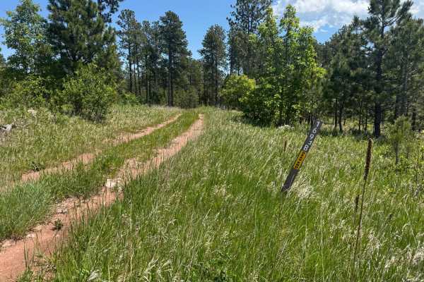
Forbes Gulch Br 1b - FSR 169.1B
This is a minimally maintained Forest Service road consisting of dirt, gravel, and smaller rocks. This trail is an out-and-back. There is the potential for some mud puddles up to 10 inches deep, depending on recent local weather. There are some small sections that are shelf roads. This trail is easi...
Learn more about Forbes Gulch Br 1b - FSR 169.1B
Moses Hill
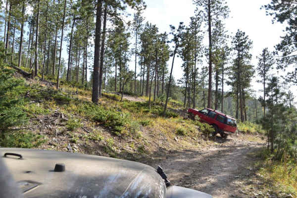
Moses Hill is a scenic 4.3-mile point-to-point trail in the Black Hills of South Dakota, perfect for stock sport utility vehicles, ATVs, and SxSs seeking a moderate challenge and exceptional valley views. Connecting Vanocker Canyon Road in the south to Road 135 in the north, this trail climbs roughl...
Learn more about Moses Hill
Crystal Cave Trail
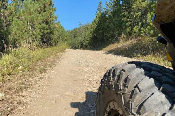
Crystal Cave is a very easy ride to the end of the trail where you will find an overlook to what many call the "Mini Grand Canyon" of the Black Hills. The trail is a two lane maintained gravel road that passes through a residential area for approximately 2.5 miles and towards the end of the residen...
Learn more about Crystal Cave Trail
China Wall Trail
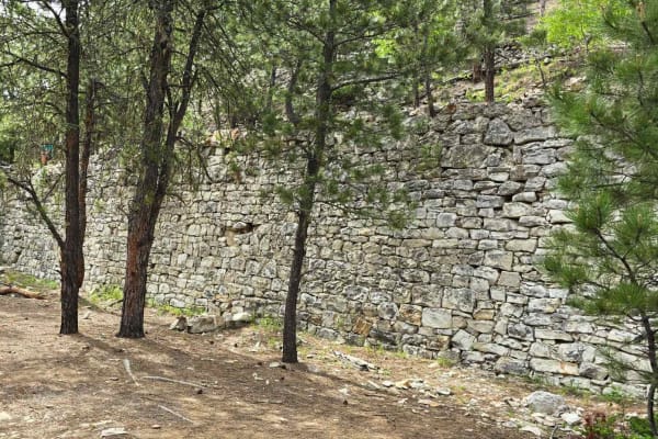
Another fantastic historical site in the Black Hills National Forest is the China Wall. The waypoint on the track shows exactly where the hike begins, and it's only about 600 yards to the wall. It's well worth the hike. The trail begins at Highway 385 on the south, and it runs up through Galena and ...
Learn more about China Wall Trail
Kelly Spur Road (FS 136) Loop
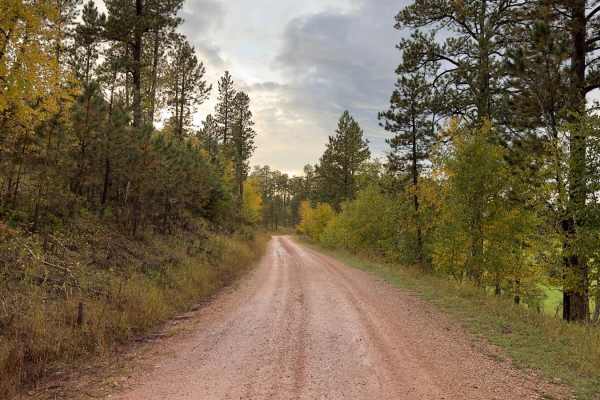
This is a short detour/loop off Vanocker Canyon Road to the west and is about 2.5 miles between the beginning/end of Vanocker Canyon Road. The southern portion runs east/west along Little Elk Creek and is a maintained road wide enough for two vehicles. Cattle can be seen grazing in the eastern area ...
Learn more about Kelly Spur Road (FS 136) Loop
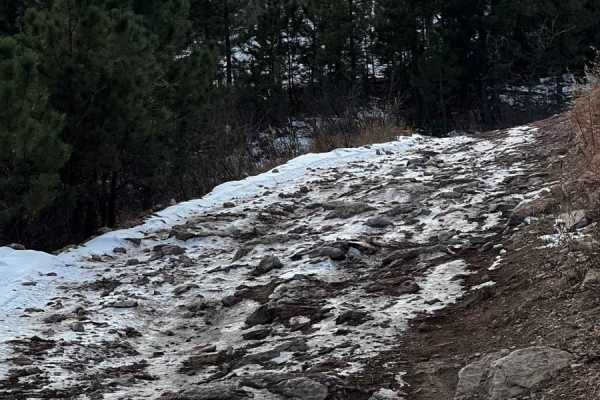
Piedmont To Nemo Trail
The Piedmont To Nemo Trail is a scenic gateway into the Black Hills National Forest, perfect for beginner to intermediate offroaders looking for a quick, engaging climb with views of Piedmont. Spanning just under a quarter-mile, this short but rocky connector segment links the edge of Piedmont to Fo...
Learn more about Piedmont To Nemo Trail
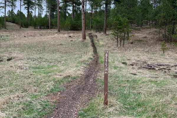
Crystal Mount Single Track
This dirt bike route was a rather smooth and flowy trail. I did not notice many rocks or roots and the bulk of the trail was not overly narrow. One thing that may trip people up is the path itself is quite narrow so if you find yourself catching your tire on the none-dirt portion of the trail, it co...
Learn more about Crystal Mount Single Track
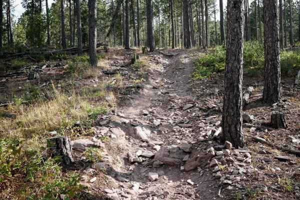
Nemo 8550
This is a short single track in the Black Hills that is part of the Bogus Trail System. The trail goes through a pine forest, full of loose pieces of rock littering the trail. The trail mostly goes downhill from south to north, with the steepest section at the north end before it connects to the 808...
Learn more about Nemo 8550
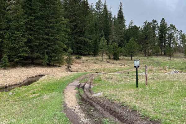
South Boxelder Creek Overpass
This dirt bike only trail features some excellent views of water, bluffs, and forests. The trail has a small water crossing at the beginning or end depending on where you enter. Following the water crossing, there are some switchbacks with dense forests. I rode this trail a previous time when branch...
Learn more about South Boxelder Creek Overpass
ATV trails near Sturgis, South Dakota
Explore ATV-friendly trails near you. These trails are accessible for vehicles up to 50 inches wide, perfect for ATVs and smaller off-road machines.
Black Hills Forest Access from Sturgis
Ride from downtown Sturgis, and within just 2 miles, you're on dirt. This is a fun hilly rocky trail that takes you into the Black Hills National Forest without having to travel busy Highway 14A. From this trail, which goes over Red Hill, you can access the Camp 5/Calamity Jane trails area or go to ...
Learn more about Black Hills Forest Access from Sturgis
Bulldog
Bulldog is an exceptionally scenic, beginner-friendly trail in the Black Hills National Forest that is perfect for offroaders wanting to experience stunning autumn colors and sweeping mountain vistas without navigating difficult obstacles. Winding through the hills southwest of Sturgis, this route c...
Learn more about Bulldog
Lost Gulch - FS 172.1
Lost Gulch (FS 172.1) is a minimally maintained forest service road that takes you between the Camp 5 area and Galena. This trail runs north and south. This trail is a combination of hard-packed dirt, loose rocks, larger stationary rocks, and loose gravel. There are large ruts and mud puddles throug...
Learn more about Lost Gulch - FS 172.1
Camp 5
This is a fun trail that offers access to several other trails in the area, such as Calamity Canyon and Kong, and it parallels Hal Johns for much of the trail. There are several spots that require careful tire placement. The trail is narrow with tight trees in many spots along the trail, so expect p...
Learn more about Camp 5
UTV/side-by-side trails near Sturgis, South Dakota
Find UTV and side-by-side trails near you. These trails accommodate vehicles up to 60 inches wide, ideal for UTVs, side-by-sides, and wider off-road rigs.
Black Hills Forest Access from Sturgis
Ride from downtown Sturgis, and within just 2 miles, you're on dirt. This is a fun hilly rocky trail that takes you into the Black Hills National Forest without having to travel busy Highway 14A. From this trail, which goes over Red Hill, you can access the Camp 5/Calamity Jane trails area or go to ...
Learn more about Black Hills Forest Access from Sturgis
Lost Gulch - FS 172.1
Lost Gulch (FS 172.1) is a minimally maintained forest service road that takes you between the Camp 5 area and Galena. This trail runs north and south. This trail is a combination of hard-packed dirt, loose rocks, larger stationary rocks, and loose gravel. There are large ruts and mud puddles throug...
Learn more about Lost Gulch - FS 172.1
Camp 5
This is a fun trail that offers access to several other trails in the area, such as Calamity Canyon and Kong, and it parallels Hal Johns for much of the trail. There are several spots that require careful tire placement. The trail is narrow with tight trees in many spots along the trail, so expect p...
Learn more about Camp 5
Veterans Peak Trail
This short 0.7-mile trail is an offshoot of Bulldog Trail, quick, and easily accessible from Vanocker Canyon. Upon leaving the highway, you will be presented with two choices. The left trail is Veterans Peak. This is a narrow trail that has a few pull-off locations for oncoming traffic but you'll wa...
Learn more about Veterans Peak Trail
The onX Offroad Difference
onX Offroad combines trail photos, descriptions, difficulty ratings, width restrictions, seasonality, and more in a user-friendly interface. Available on all devices, with offline access and full compatibility with CarPlay and Android Auto. Discover what you're missing today!
Open Trail Map