
Dirt Bike Trails
Near Smithville, Oklahoma
Explore All Dirt Bike Trails Near Smithville, Oklahoma
Dirt Bike Trails Near Smithville, Oklahoma
Discover the best dirt bike trails near you. Browse trail maps, check difficulty ratings, and find your next adventure — whether you're looking for a quick ride or an all-day expedition.
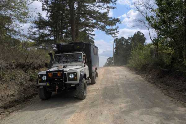
Nani Chito Road
This scenic off-road route follows a farm road known for several substantial ascents and descents that may pose difficulties for heavier or under-powered vehicles. As it winds past smallholdings and ranches, it either begins or terminates at a paved road and serves as an access corridor to the natio...
Learn more about Nani Chito Road
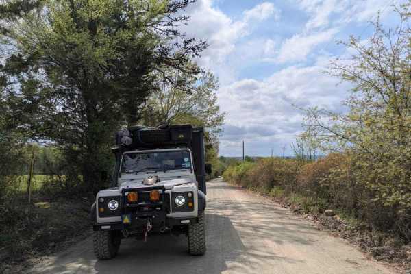
Clearwater Road
This scenic off-road route meanders past smallholdings and ranches, offering a mostly well-maintained gravel surface that occasionally becomes bumpy. Gentle rises and dips lead travelers from forested stretches into rolling green hills dotted with contented cattle and horses. A low river crossing ad...
Learn more about Clearwater Road
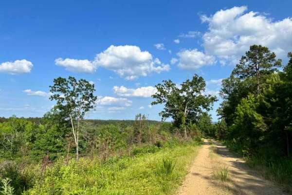
Buffalo Creek Camp
Prepare for an exciting journey along a mostly gravel road that leads to a hidden gem. The adventure culminates in a thrilling ride along a tight, winding trail, and at the end of this trail, you'll discover a charming campsite nestled right by the tranquil creek. This route has never disappointed, ...
Learn more about Buffalo Creek Camp
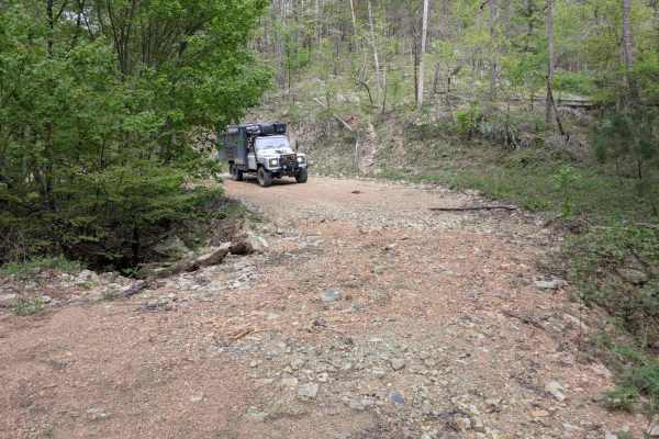
26600
This off-road route starts as a mostly well-maintained gravel path that steadily climbs into the mountains. As it continues, it narrows, and several smaller, more challenging trails branch away. Evidence of severe storm erosion remains visible, but the majority of the track has been restored and is ...
Learn more about 26600
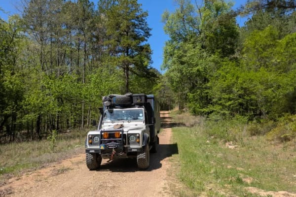
26000
This trail follows a long stretch of well-maintained gravel road that ascends and then descends a forested mountain. The route offers a scenic and winding drive through dense woodland, with one or two river crossings along the way. Drivers should remain alert for fast-moving logging trucks that occa...
Learn more about 26000
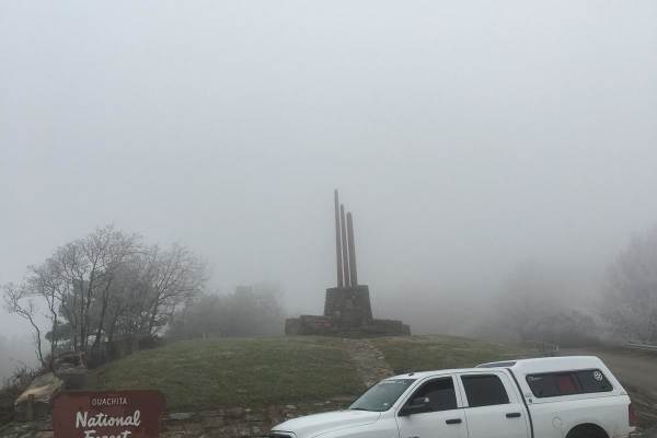
K-Trail
This is the current legal version of the well-known K-Trail. This short stretch along the Kiamichi Mountain ridgeline is an enjoyable 5-hour drive. Small rock gardens and plenty of red dirt make up this mildly bumpy run. Some small plots of private property are mixed in with this part of the Ouachit...
Learn more about K-Trail
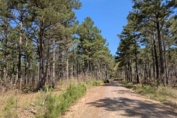
26280
This scenic trail winds narrowly through the forest, offering a peaceful drive along a route that is generally in good condition. Numerous side trails and private roads branch off from the main path, so drivers should be cautious and stay on the correct route. Although several trees have fallen acro...
Learn more about 26280
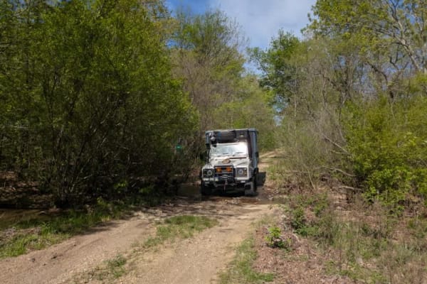
26530
This serene trail offers a relaxing drive through dense forest, characterized primarily by flat terrain and a generally maintained surface. Travelers will encounter several gentle stream crossings, and while there is visible evidence of water erosion in spots, it poses little difficulty. Along the r...
Learn more about 26530
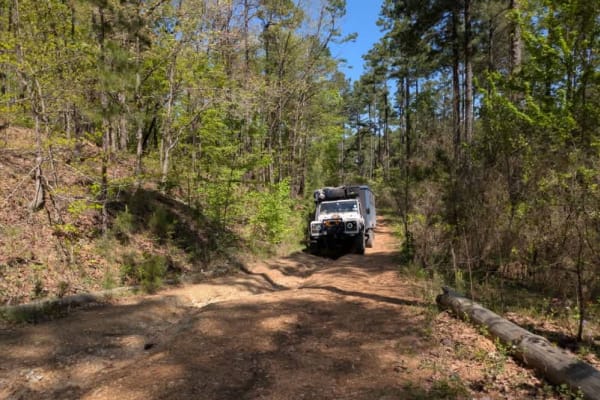
26271
This trail presents a moderate to challenging drive and is best suited for capable, high-clearance vehicles. It winds tightly through dense forest, often narrowing to the point where pinstriping is a concern. Sections of the trail run alongside steep drop-offs into gullies, requiring cautious naviga...
Learn more about 26271
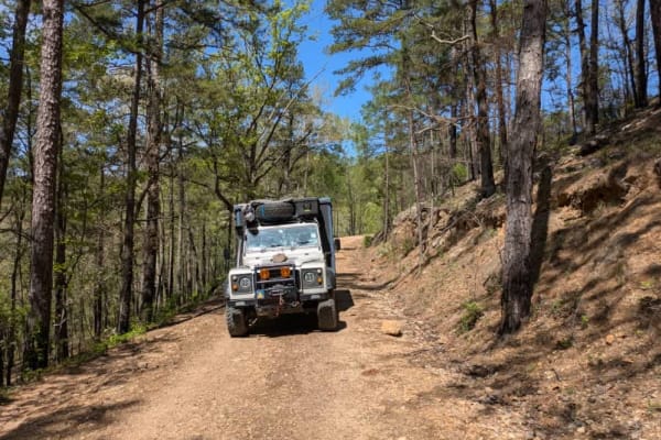
26200
This trail offers a scenic and enjoyable drive through forested terrain, following a relatively wide and generally well-maintained path. The road winds gently with a few switchbacks, and a mix of ascents and descents that add variety without posing significant difficulty. While there is some evidenc...
Learn more about 26200
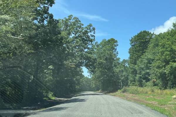
LeFlore County 260
This is a county road. The road is 90% gravel with a hard-packed base. There are sections of dilapidated asphalt, which make for some interesting potholes. There are areas that are affected by heavy rains. The road is covered with loose gravel. Some areas have washed out and have ruts. Overall, this...
Learn more about LeFlore County 260
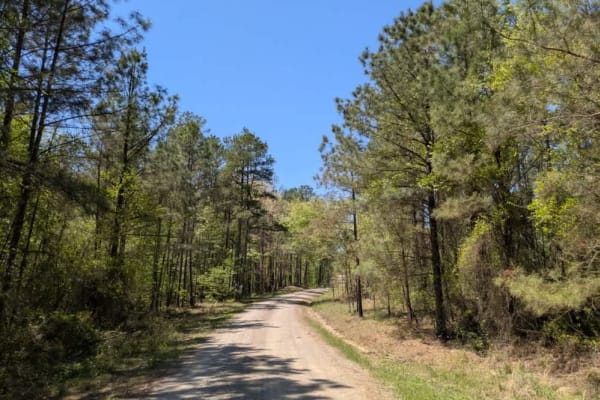
24200
This trail follows a well-maintained gravel logging road that winds through active timber-cutting areas. The route is dusty, particularly in dry conditions, and drivers should remain alert for fast-moving logging trucks that may appear without warning. Although the logging crews are typically courte...
Learn more about 24200
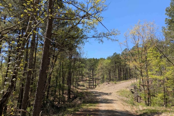
24500
This trail is a functional, well-maintained gravel road used primarily for logging operations. As it serves as an active haul route, drivers should remain vigilant for fast-moving logging trucks and be prepared to yield. The road is somewhat winding and includes a few gentle climbs and descents, but...
Learn more about 24500
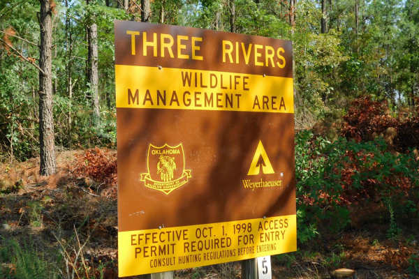
Arkansas Crossing NFS SEOK
This is a trail located in Northern McCurtain County in Oklahoma. This trail is mostly a level 1-2 Trail, except for the water crossing on the Glover River which will require a high clearance vehicle and may be uncrossable if there is high water. There are no markings to gauge water level. The trail...
Learn more about Arkansas Crossing NFS SEOK
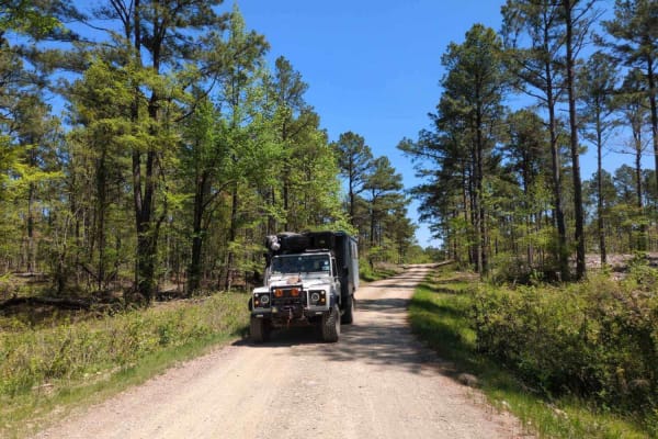
24117
This trail is an active logging road characterized by rocky terrain, heavy dust, and off-camber sections caused by water damage. It is possible to complete a circular route if all logging gates are open, but access is not guaranteed. The trail passes through areas where logging operations are in ful...
Learn more about 24117
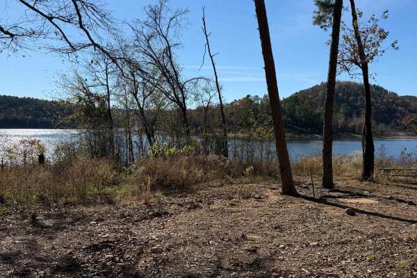
Johnny Beavers Trail to Holly Creek Landing
This wonderful trailt is very scenic and runs through some locally owned areas and some with pine plantations. It eventually ends in a national forest area and on Oklahoma Wildlife Department land when you get near the Mountain Fork River--well-maintained roads in places. Beware of the open yellow g...
Learn more about Johnny Beavers Trail to Holly Creek Landing
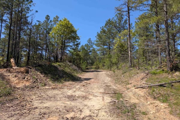
24143
This trail serves as an active logging road that climbs into a region marked by recent tree cutting and burn activity. It is frequently used by logging vehicles, so drivers should proceed with caution and remain alert. The road is dry and extremely dusty, with steep, winding ascents and descents tha...
Learn more about 24143
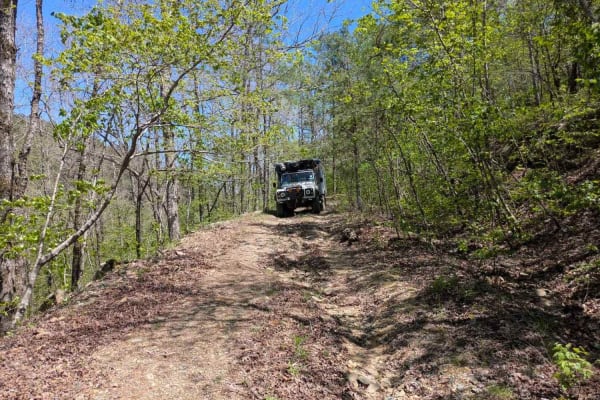
24130
Although this trail is marked as private on Google Maps, only portions of it appear to be on private land, and it seems to provide a shortcut back to the main gravel logging roads. The trail begins innocently enough with a grassy, gentle stretch near a clearing, but it quickly narrows as young trees...
Learn more about 24130
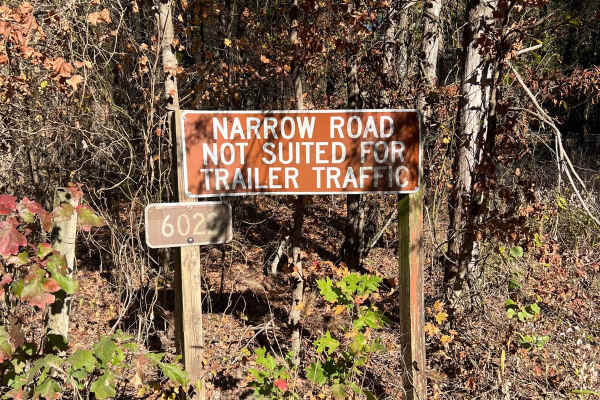
Lenox Ridge Road
Lenox Ridge Road is a mountain road that runs through the Quachita National Forest from Billy Creek campground to Oklahoma scenic Highway 1. The road is maintained with dirt and gravel, and signs are posted at each end advising against traveling it with trailers. There are a couple of nice campsites...
Learn more about Lenox Ridge Road
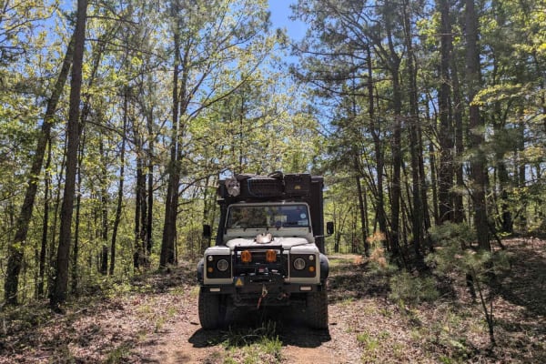
24225
This trail is narrow, rugged, and appears to be infrequently traveled. Departing from the 24500 trail, it begins with a rocky descent followed by a river crossing, then climbs steadily toward a cleared logging area. The route is rough, with visible water damage contributing to off-camber sections th...
Learn more about 24225
ATV trails near Smithville, Oklahoma
Explore ATV-friendly trails near you. These trails are accessible for vehicles up to 50 inches wide, perfect for ATVs and smaller off-road machines.
Nani Chito Road
This scenic off-road route follows a farm road known for several substantial ascents and descents that may pose difficulties for heavier or under-powered vehicles. As it winds past smallholdings and ranches, it either begins or terminates at a paved road and serves as an access corridor to the natio...
Learn more about Nani Chito Road
Clearwater Road
This scenic off-road route meanders past smallholdings and ranches, offering a mostly well-maintained gravel surface that occasionally becomes bumpy. Gentle rises and dips lead travelers from forested stretches into rolling green hills dotted with contented cattle and horses. A low river crossing ad...
Learn more about Clearwater Road
Buffalo Creek Camp
Prepare for an exciting journey along a mostly gravel road that leads to a hidden gem. The adventure culminates in a thrilling ride along a tight, winding trail, and at the end of this trail, you'll discover a charming campsite nestled right by the tranquil creek. This route has never disappointed, ...
Learn more about Buffalo Creek Camp
26600
This off-road route starts as a mostly well-maintained gravel path that steadily climbs into the mountains. As it continues, it narrows, and several smaller, more challenging trails branch away. Evidence of severe storm erosion remains visible, but the majority of the track has been restored and is ...
Learn more about 26600
UTV/side-by-side trails near Smithville, Oklahoma
Find UTV and side-by-side trails near you. These trails accommodate vehicles up to 60 inches wide, ideal for UTVs, side-by-sides, and wider off-road rigs.
Nani Chito Road
This scenic off-road route follows a farm road known for several substantial ascents and descents that may pose difficulties for heavier or under-powered vehicles. As it winds past smallholdings and ranches, it either begins or terminates at a paved road and serves as an access corridor to the natio...
Learn more about Nani Chito Road
Clearwater Road
This scenic off-road route meanders past smallholdings and ranches, offering a mostly well-maintained gravel surface that occasionally becomes bumpy. Gentle rises and dips lead travelers from forested stretches into rolling green hills dotted with contented cattle and horses. A low river crossing ad...
Learn more about Clearwater Road
Buffalo Creek Camp
Prepare for an exciting journey along a mostly gravel road that leads to a hidden gem. The adventure culminates in a thrilling ride along a tight, winding trail, and at the end of this trail, you'll discover a charming campsite nestled right by the tranquil creek. This route has never disappointed, ...
Learn more about Buffalo Creek Camp
26600
This off-road route starts as a mostly well-maintained gravel path that steadily climbs into the mountains. As it continues, it narrows, and several smaller, more challenging trails branch away. Evidence of severe storm erosion remains visible, but the majority of the track has been restored and is ...
Learn more about 26600
The onX Offroad Difference
onX Offroad combines trail photos, descriptions, difficulty ratings, width restrictions, seasonality, and more in a user-friendly interface. Available on all devices, with offline access and full compatibility with CarPlay and Android Auto. Discover what you're missing today!
Open Trail Map