Trail Overview
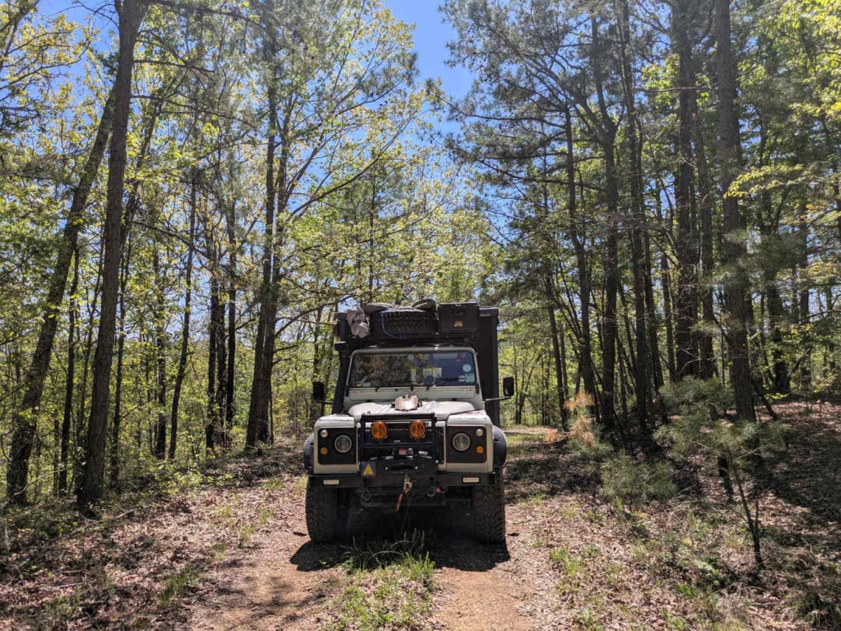
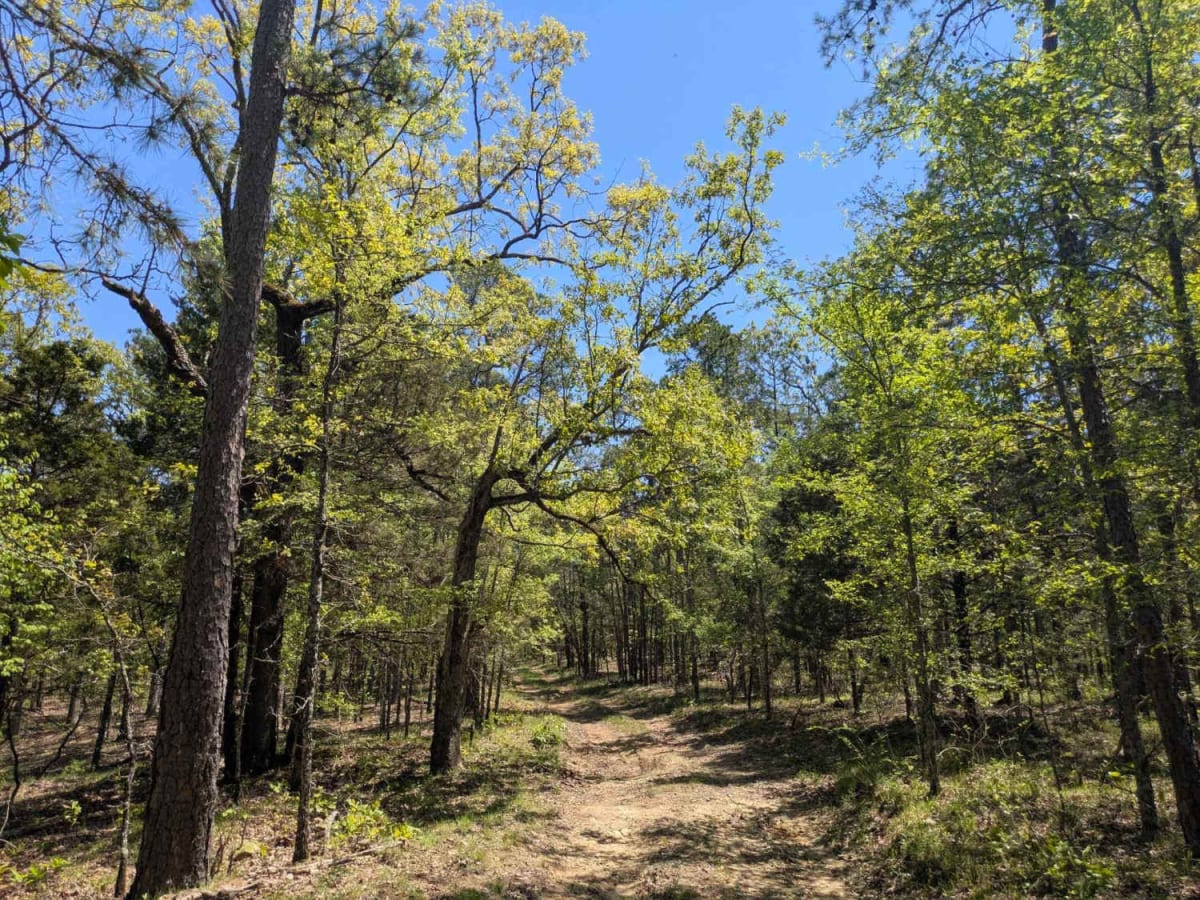
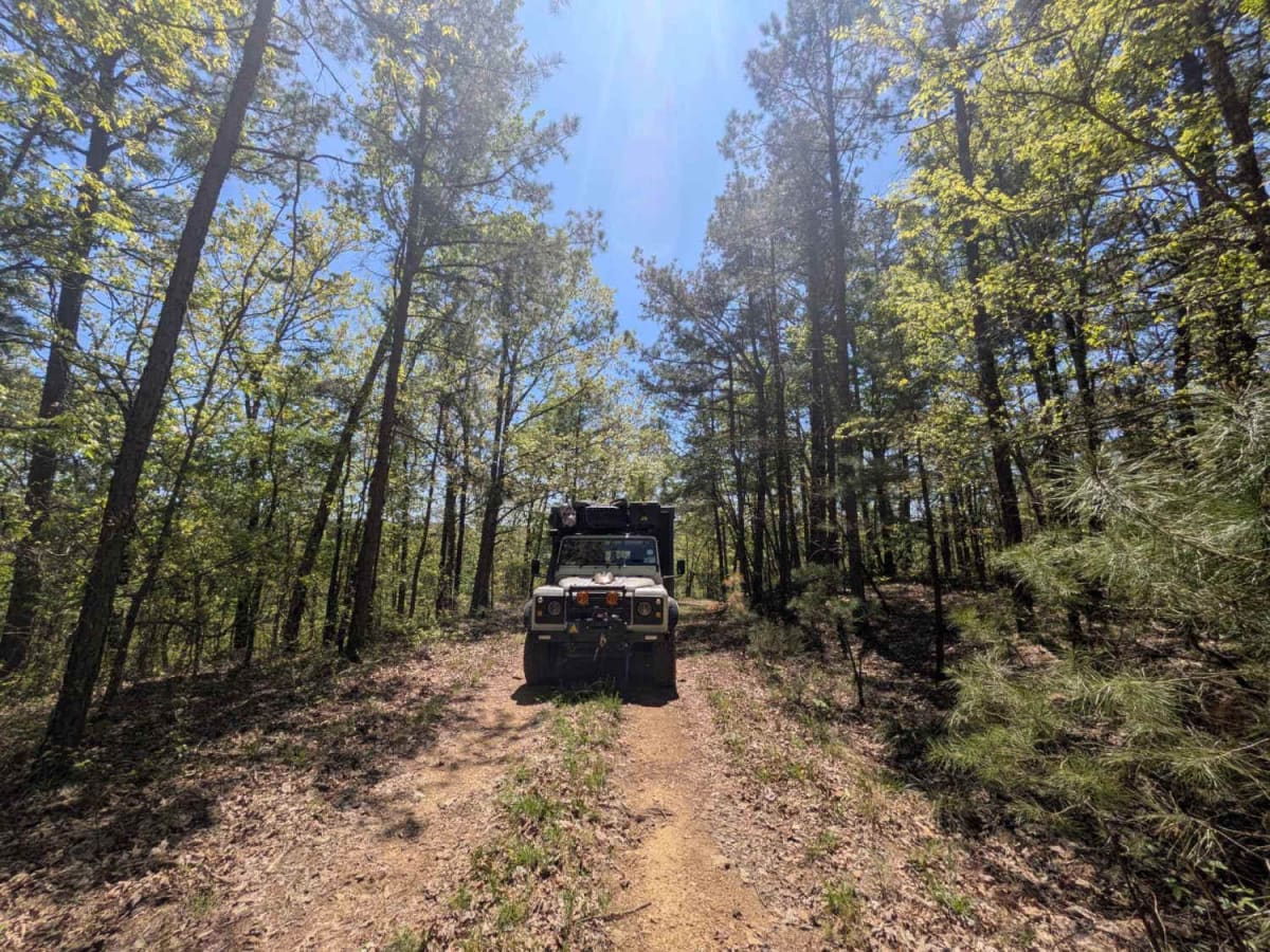
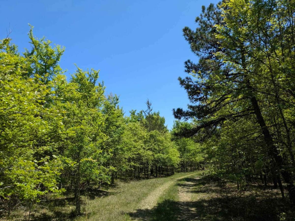
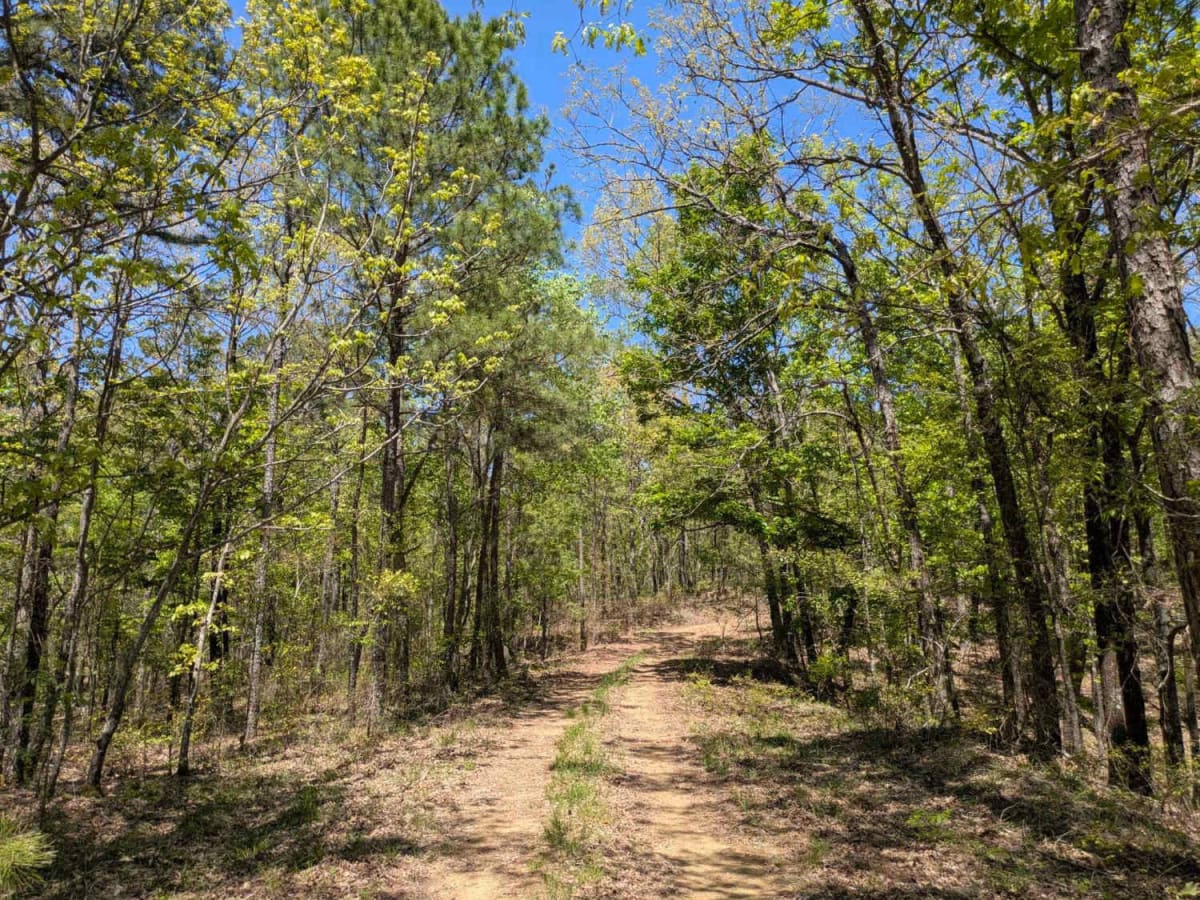
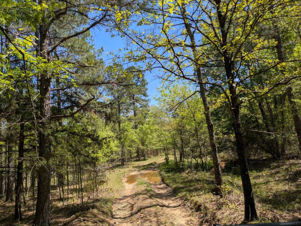
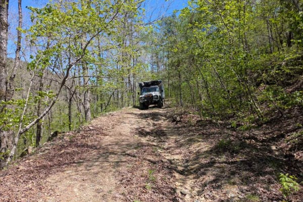
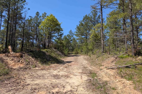
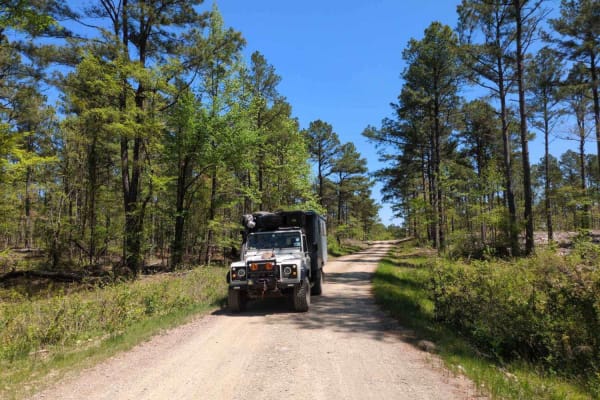
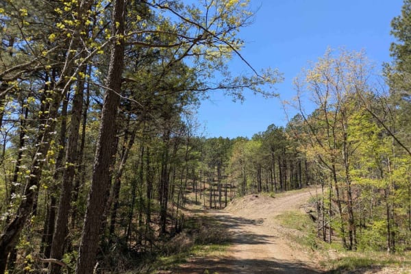
This trail is narrow, rugged, and appears to be infrequently traveled. Departing from the 24500 trail, it begins with a rocky descent followed by a river crossing, then climbs steadily toward a cleared logging area. The route is rough, with visible water damage contributing to off-camber sections that require careful navigation. In April, the trail tends to be wet and muddy, adding to the sense of remoteness. Several offshoots and trail splits offer potential spots for dispersed camping, though these areas are undeveloped. At the end of the trail is a large, cleared area with locked gates at either end, which forced us to backtrack to 24500, which is not as long as it initially seems. The trail lacks facilities such as trash disposal and potable water, and cell service is limited or nonexistent for much of the drive.
History
The Ouachita National Forest stretches across western Arkansas and southeastern Oklahoma and is the oldest national forest in the southern United States and spans over 1.8 million acres. Known for the unique east-to-west orientation of the Ouachita Mountains, the forest features diverse terrain, dense woodlands, and sweeping vistas.