
Dirt Bike Trails
Near Cove, Arkansas
Explore All Dirt Bike Trails Near Cove, Arkansas
Dirt Bike Trails Near Cove, Arkansas
Discover the best dirt bike trails near you. Browse trail maps, check difficulty ratings, and find your next adventure — whether you're looking for a quick ride or an all-day expedition.
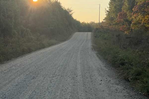
Polk Road 32
This is a county road, which is gravel over hard-packed dirt. This road has several sandy areas and several loose gravel areas due to a lack of rain. This road is well maintained; however, it could become slippery with heavy rain. There are several access points to the Ouachita National Forest. Ther...
Learn more about Polk Road 32
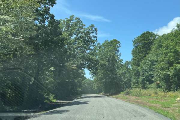
LeFlore County 260
This is a county road. The road is 90% gravel with a hard-packed base. There are sections of dilapidated asphalt, which make for some interesting potholes. There are areas that are affected by heavy rains. The road is covered with loose gravel. Some areas have washed out and have ruts. Overall, this...
Learn more about LeFlore County 260
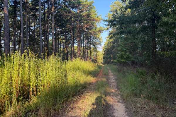
Flat Ridge Spur
This road is a forest service road that spurs off of FS N82A. It is mostly a dirt road with gravel in a few wash spots. There are ruts and potholes from rainstorms in the past. The center of the road is overgrown with weeds, and the bushes and trees along the side of the road overhang, except for th...
Learn more about Flat Ridge Spur
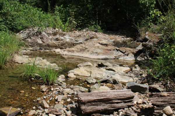
Round to Henson School Road
Round to Henson School Road is an easy, scenic 6.9-mile point-to-point route in the Ouachita National Forest perfect for beginners, families, and those seeking a relaxing drive with spectacular mountain views. This well-maintained gravel road winds through dense forest, climbing from a minimum eleva...
Learn more about Round to Henson School Road
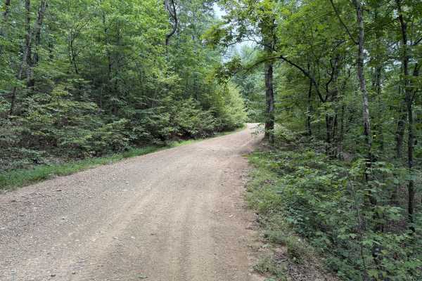
Polk County Road 36
This trail is a Forest Service road that is rock based covered in gravel. There are a few water crossings that can create a challenge after heavy rains. The road could become muddy after heavy rains. The road is narrow in places due to vegetation growth and could cause pin stripping. Overall, the ro...
Learn more about Polk County Road 36
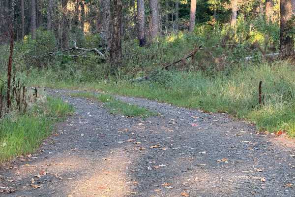
Flat Ridge
This is a Forest Service road that is covered with gravel. The road is a single-lane road giving access to the national Forest. This road has several potholes that fill with water and may cover the road during heavy rain. This road is easily traveled with any type of vehicle. This road is open to hi...
Learn more about Flat Ridge
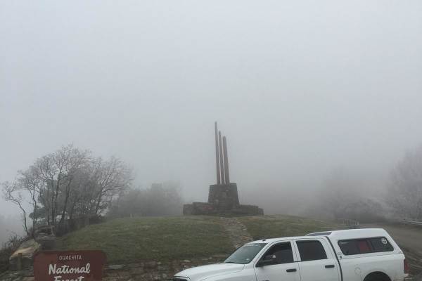
K-Trail
This is the current legal version of the well-known K-Trail. This short stretch along the Kiamichi Mountain ridgeline is an enjoyable 5-hour drive. Small rock gardens and plenty of red dirt make up this mildly bumpy run. Some small plots of private property are mixed in with this part of the Ouachit...
Learn more about K-Trail
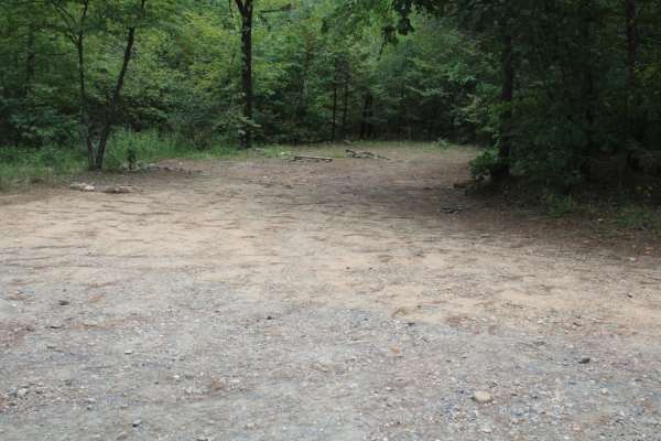
Polk 410 Stream & Camp
Polk 410 Stream & Camp is a six-mile point-to-point gravel trail in the Ouachita National Forest of Arkansas, ideal for beginners, families, and those seeking a peaceful drive with excellent dispersed camping opportunities. This well-maintained route winds through lush forest terrain between the Wes...
Learn more about Polk 410 Stream & Camp
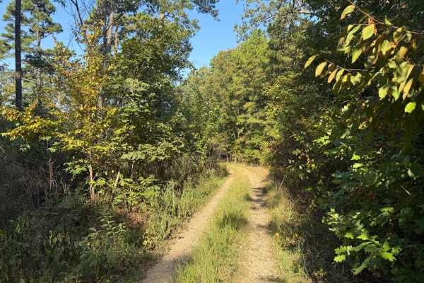
Coss
This trail is a two-track trail; it is an In-N-Out route. The trail is mostly gravel with rock gardens in several locations. This trail has trees and bushes hanging into the road, making the travel lane very narrow. The first part of this trail is relatively easy, and the last half of this trail bec...
Learn more about Coss

West Boundary
This is the northern part of West Boundary Road and is located in the Ouachita National Forest. It is a gravel road that parallels Two Mile Creek. There are dispersed camping and swimming holes available. The road has multiple potholes and loose gravel. The road is easily traveled by all vehicles.
Learn more about West Boundary
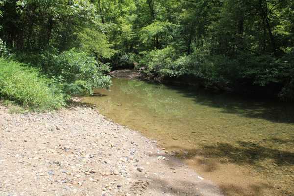
Two Mile Road
Maintained gravel road in the Ouachita National Forest. There is a cool creek crossing and side spur on this trail. This road can be muddy while raining. When dry, this road is very dusty. Loose gravel can allow your vehicle to slide. Awesome views and lots of wildlife are in this area. Dispersed ca...
Learn more about Two Mile Road

Brushy
This road is a rock-based road topped with gravel. There is an elevation change as you ascend and descend Bee Mountain. The north end of this road is washed out in the middle of the road from recent rains. There is abundant wildlife, and dispersed camping is available. After rain, the road can becom...
Learn more about Brushy
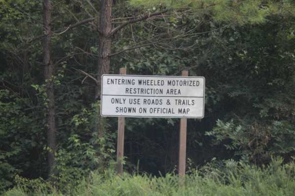
West Boundary
West Boundary is an easy, scenic gravel route ideal for beginners, families, and high-clearance vehicles looking to explore the beautiful Cossatot Mountains within the Ouachita National Forest. Running approximately 5.1 miles through stunning forested terrain near Vandervoort, Arkansas, this maintai...
Learn more about West Boundary
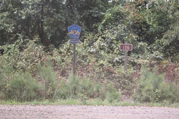
Polk Road 34 to Camping
Maintained gravel road that can be muddy when wet and dusty when dry. Some creek crossing when in wet weather. Dispersed camping and creeks are in this area of the Ouachita National Forest. Two-wheel drive can make it on these roads when dry. Great views of mountains, wildlife, and creeks in this ar...
Learn more about Polk Road 34 to Camping
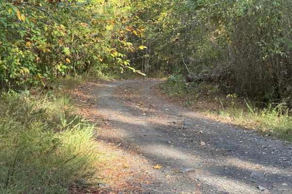
Note
This trail is an out-and-back trail that is covered in gravel and rock. The trail also offers dispersed camping within 150 feet of the trail. There is a nice dispersed camping spot at the end of the trail. The trail is very narrow with low-hanging limbs except for pinstriping. The trail ends about a...
Learn more about Note
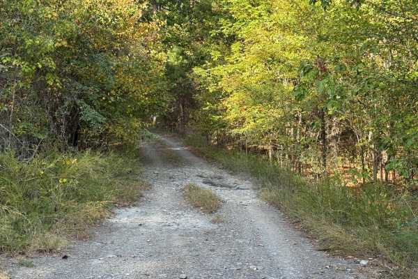
Vanish
This trail is an out-and-back trail that is covered in gravel and rock. The trail is very narrow at points, with small rock gardens, washes, and mud holes. The end of the trail offers an area for turning around. There is vegetation growing in the middle of the road as well as on the edges of the roa...
Learn more about Vanish
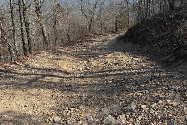
Bee Mountain Lookout Trail
This is a short trip up to the top of Bee Mountain. It starts off pretty smooth, with some short whoops, but gets a little more challenging near the top. Once at the top, I recommend taking the short walk up the stairs to see the old fire tower and get a great view of the surrounding area.
Learn more about Bee Mountain Lookout Trail
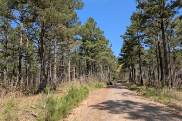
26280
This scenic trail winds narrowly through the forest, offering a peaceful drive along a route that is generally in good condition. Numerous side trails and private roads branch off from the main path, so drivers should be cautious and stay on the correct route. Although several trees have fallen acro...
Learn more about 26280

County Road 402
A rock-based road covered in gravel, with sections of loose gravel, washouts, and potholes. Typical of forest service roads, it's easily traveled by most vehicles but can get muddy after heavy rain. Wildlife is abundant. A low water crossing over Brushy Creek.
Learn more about County Road 402
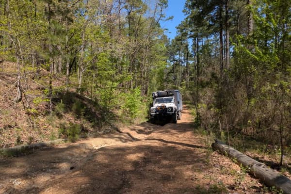
26271
This trail presents a moderate to challenging drive and is best suited for capable, high-clearance vehicles. It winds tightly through dense forest, often narrowing to the point where pinstriping is a concern. Sections of the trail run alongside steep drop-offs into gullies, requiring cautious naviga...
Learn more about 26271
ATV trails near Cove, Arkansas
Explore ATV-friendly trails near you. These trails are accessible for vehicles up to 50 inches wide, perfect for ATVs and smaller off-road machines.
Polk Road 32
This is a county road, which is gravel over hard-packed dirt. This road has several sandy areas and several loose gravel areas due to a lack of rain. This road is well maintained; however, it could become slippery with heavy rain. There are several access points to the Ouachita National Forest. Ther...
Learn more about Polk Road 32
LeFlore County 260
This is a county road. The road is 90% gravel with a hard-packed base. There are sections of dilapidated asphalt, which make for some interesting potholes. There are areas that are affected by heavy rains. The road is covered with loose gravel. Some areas have washed out and have ruts. Overall, this...
Learn more about LeFlore County 260
Flat Ridge Spur
This road is a forest service road that spurs off of FS N82A. It is mostly a dirt road with gravel in a few wash spots. There are ruts and potholes from rainstorms in the past. The center of the road is overgrown with weeds, and the bushes and trees along the side of the road overhang, except for th...
Learn more about Flat Ridge Spur
Round to Henson School Road
Round to Henson School Road is an easy, scenic 6.9-mile point-to-point route in the Ouachita National Forest perfect for beginners, families, and those seeking a relaxing drive with spectacular mountain views. This well-maintained gravel road winds through dense forest, climbing from a minimum eleva...
Learn more about Round to Henson School Road
UTV/side-by-side trails near Cove, Arkansas
Find UTV and side-by-side trails near you. These trails accommodate vehicles up to 60 inches wide, ideal for UTVs, side-by-sides, and wider off-road rigs.
Polk Road 32
This is a county road, which is gravel over hard-packed dirt. This road has several sandy areas and several loose gravel areas due to a lack of rain. This road is well maintained; however, it could become slippery with heavy rain. There are several access points to the Ouachita National Forest. Ther...
Learn more about Polk Road 32
LeFlore County 260
This is a county road. The road is 90% gravel with a hard-packed base. There are sections of dilapidated asphalt, which make for some interesting potholes. There are areas that are affected by heavy rains. The road is covered with loose gravel. Some areas have washed out and have ruts. Overall, this...
Learn more about LeFlore County 260
Flat Ridge Spur
This road is a forest service road that spurs off of FS N82A. It is mostly a dirt road with gravel in a few wash spots. There are ruts and potholes from rainstorms in the past. The center of the road is overgrown with weeds, and the bushes and trees along the side of the road overhang, except for th...
Learn more about Flat Ridge Spur
Round to Henson School Road
Round to Henson School Road is an easy, scenic 6.9-mile point-to-point route in the Ouachita National Forest perfect for beginners, families, and those seeking a relaxing drive with spectacular mountain views. This well-maintained gravel road winds through dense forest, climbing from a minimum eleva...
Learn more about Round to Henson School Road
The onX Offroad Difference
onX Offroad combines trail photos, descriptions, difficulty ratings, width restrictions, seasonality, and more in a user-friendly interface. Available on all devices, with offline access and full compatibility with CarPlay and Android Auto. Discover what you're missing today!
Open Trail Map