Trail Overview
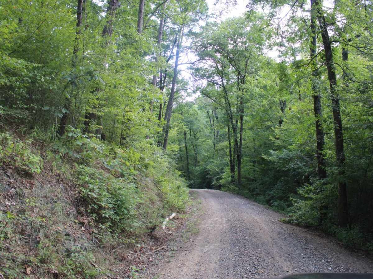
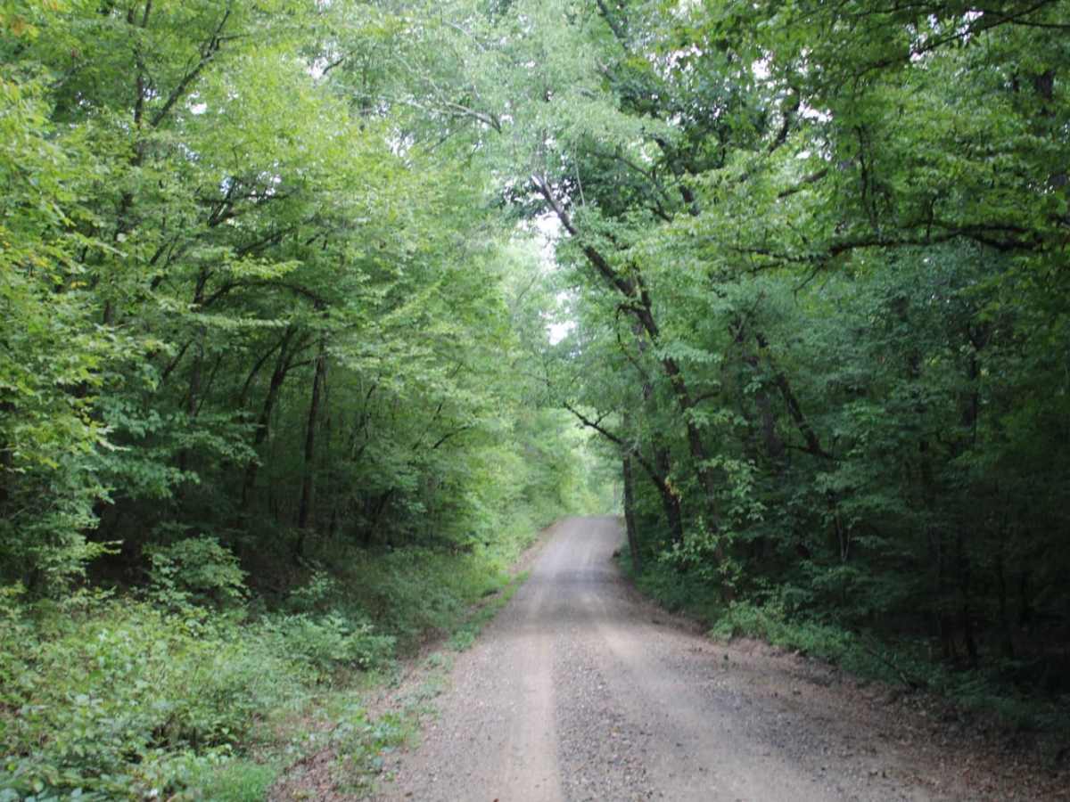
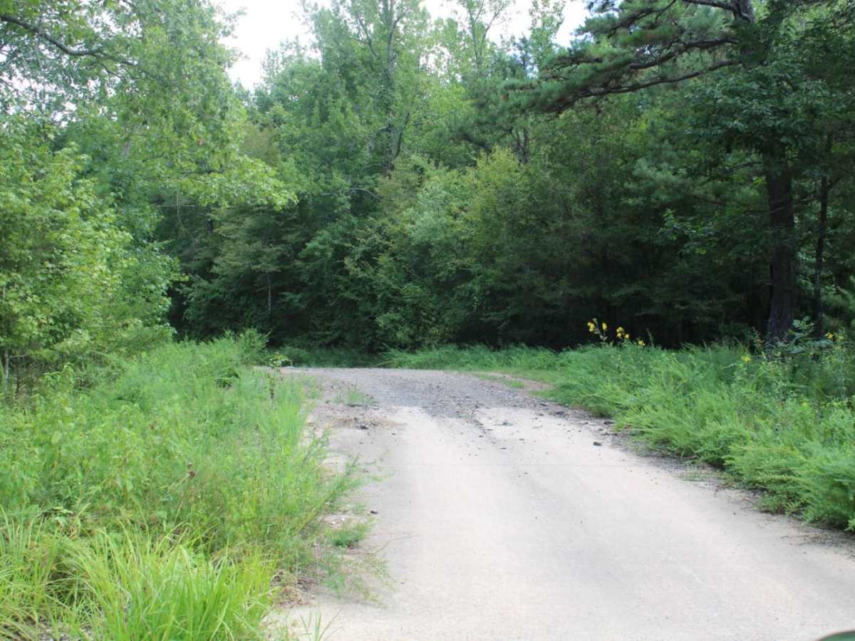
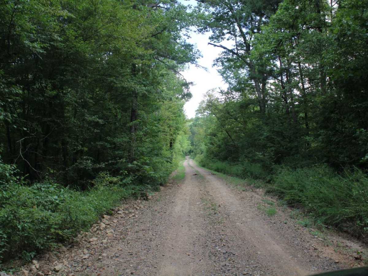
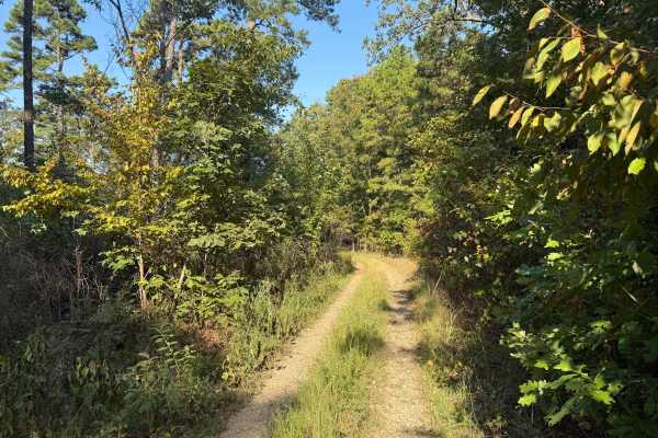
West Boundary is an easy, scenic gravel route ideal for beginners, families, and high-clearance vehicles looking to explore the beautiful Cossatot Mountains within the Ouachita National Forest. Running approximately 5.1 miles through stunning forested terrain near Vandervoort, Arkansas, this maintained forest road offers an accessible outdoor escape with excellent opportunities for wildlife viewing and scenic mountain vistas. Starting from its southern junction with Arkansas Highway 246, the trail climbs gently from an elevation of about 1,001 feet to a peak of 1,366 feet, providing a cumulative elevation gain of roughly 717 feet. The well-maintained path features a relatively wide grade with ample room for oncoming vehicles to pass, making it highly suitable for standard SUVs, four-wheel-drive vehicles, SxSs, and dirt bikes.
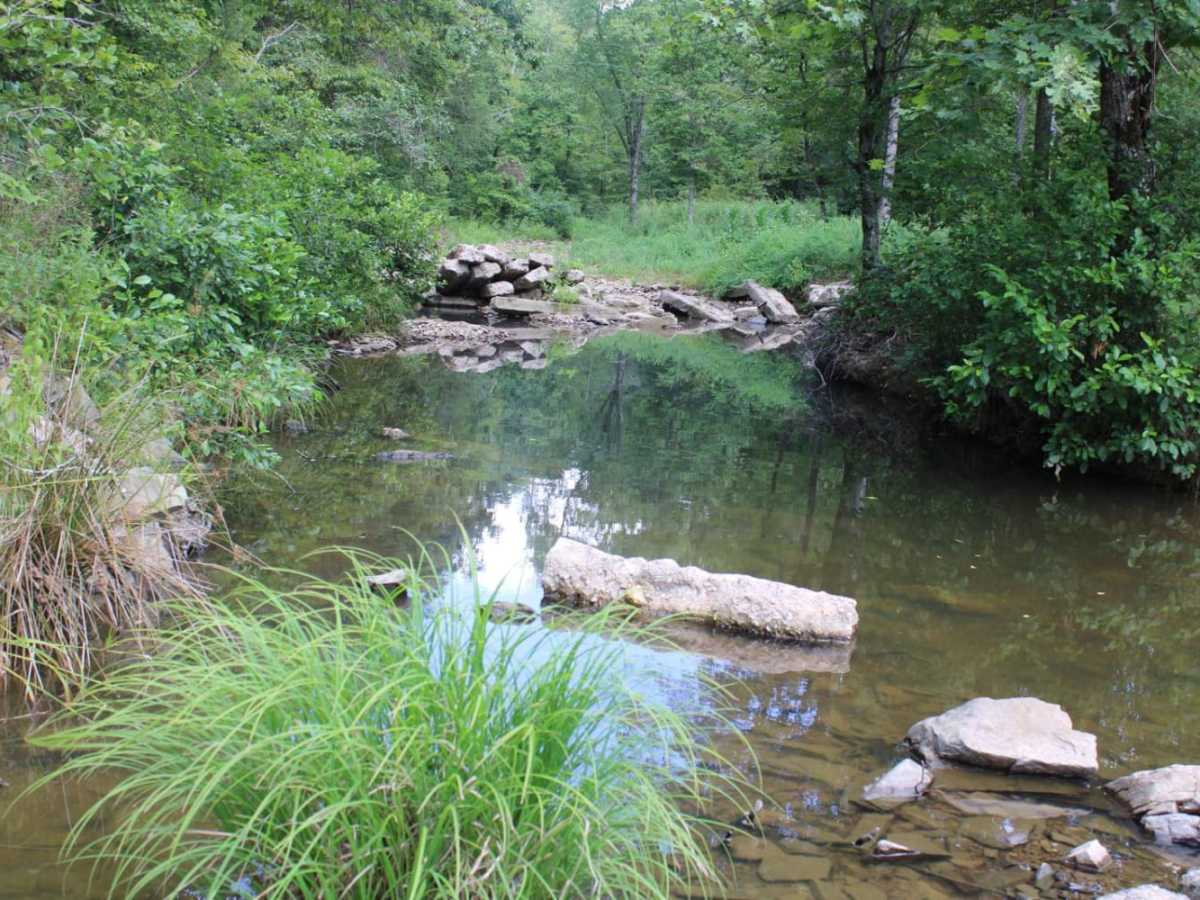
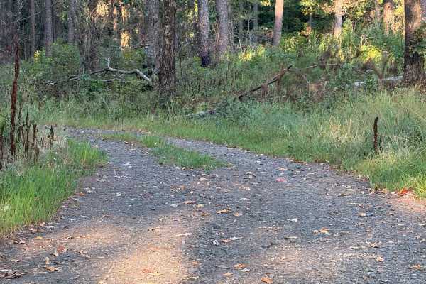
With a technical rating of 1, the route consists primarily of a gravel surface that can become highly dusty during dry summer months and slick with mud after heavy rainfall. While no major obstacles or technical driving skills are required to navigate this road, visitors should remain cautious of occasional loose gravel and changing weather conditions. The surrounding national forest land provides excellent opportunities for dispersed camping and access to nearby mountain streams, offering several scenic spots to pull off and enjoy the natural environment. This trail is typically accessible year-round, though winter weather can occasionally bring seasonal closures or icy patches at higher elevations.
Access Description
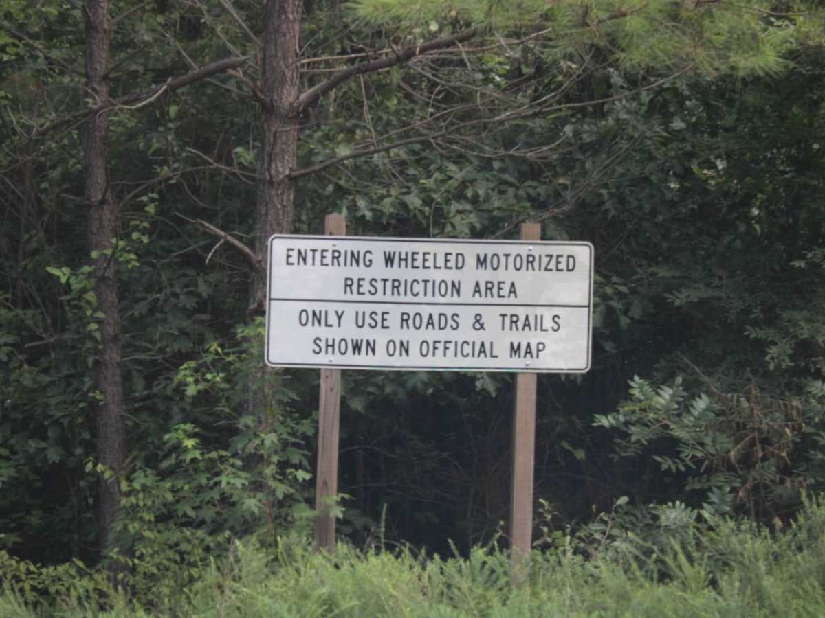
This trail is a publicly accessible road within the Ouachita National Forest. No special permits or fees are required to drive the route. Dispersed camping is permitted along the route, subject to general US Forest Service regulations. Ensure all campfires are fully extinguished and practice Leave No Trace principles.

 Offroad