
Dirt Bike Trails
Near Silt, Colorado
Explore All Dirt Bike Trails Near Silt, Colorado
Dirt Bike Trails Near Silt, Colorado
Discover the best dirt bike trails near you. Browse trail maps, check difficulty ratings, and find your next adventure — whether you're looking for a quick ride or an all-day expedition.
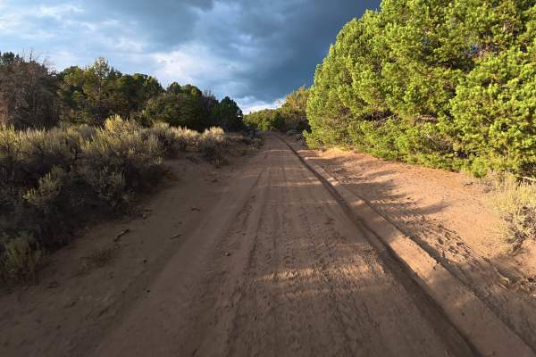
West Elk Ridge South
A large parking area at the trailhead can accommodate up to 30 vehicles or trailers. The trail begins with 8–10-inch ruts and is heavily washed out just feet from the entrance.
At 0.1 miles, there is a campsite for up to three vehicles with level ground, a fire ring, and valley views. Additional cam...
Learn more about West Elk Ridge South
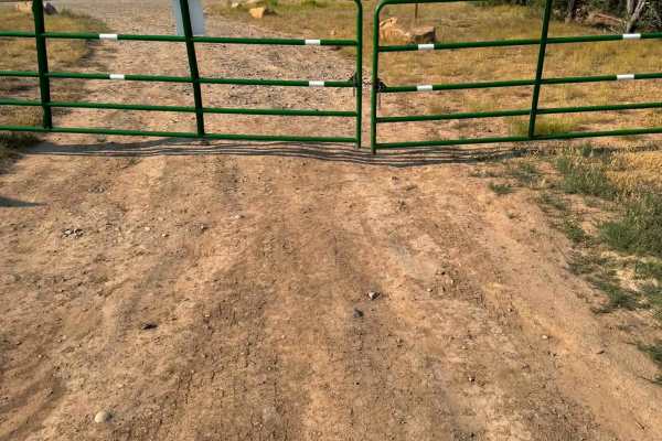
Rifle West
Rifle West is a much more difficult route than the others connected to it. It has tight turns, is very rocky, and has a few dry creek beds to cross. A few steep, rocky climbs near the top have loose rocks and pass through narrow sections of trees. 4WD and low range are needed. The route was complet...
Learn more about Rifle West
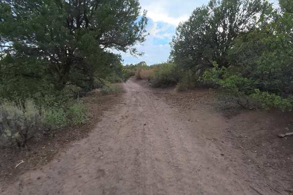
West Elk Ridge North
This is the more challenging second half of W. Elk Ridge Rd., leading to a small campsite at the end. The trail is narrow, heavily overgrown, and mostly dirt that can become extremely difficult when wet.
Ruts begin at 5–6 inches and increase to 14 inches around 1 mile in, with washouts creating off-...
Learn more about West Elk Ridge North
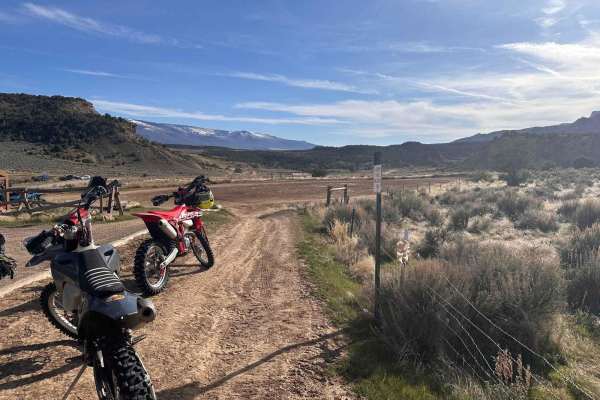
Loop 3
This is part of a designated OHV area often called Hubbard Mesa or JQS nestled below the Roan Plateau and north of the town of Rifle. Rifle rides most of the year save for heavy rains and snow that turn the adobe clay into mud. Summers are pretty warm so early morning/late evenings are ideal. Loop 3...
Learn more about Loop 3
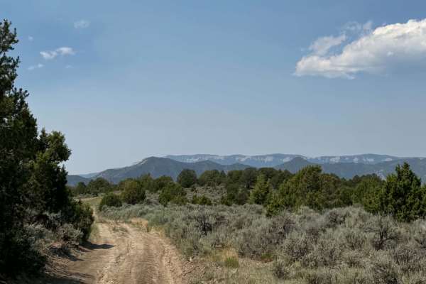
Rifle East
This route takes you into the White River Plateau area near Rifle Gap State Park. It is a steep, rocky climb with boulders and ledges. Most of the route is narrow but has spots that widen out. This is on BLM land and has several camping spots along the way. At the top, there is a great view of Rifle...
Learn more about Rifle East
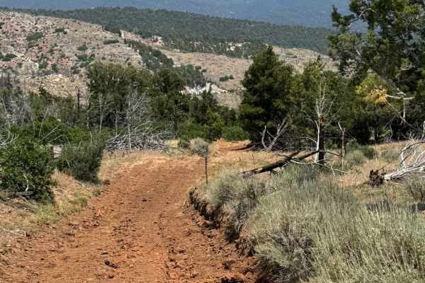
Cedar Mountain East
This is an out-and-back route that leads you to an overlook on the east side. It is a dirt road with rocky and rutted areas. On the east end of the route is a bigger turnaround area. Do not try to take the trails going left or right; there are dead ends with no place to turn around, and it can be ve...
Learn more about Cedar Mountain East
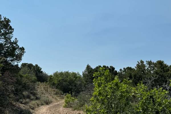
Cedar Mountain West
Cedar Mountain West is rocky and narrow, leading you down towards Rifle East Trail. There are dirt portions of the trail that can be muddy after rain. Along this route, there are great views of the area as well as dispersed camping spots. Most stock 4WD vehicles will have no issues with this route.
Learn more about Cedar Mountain West
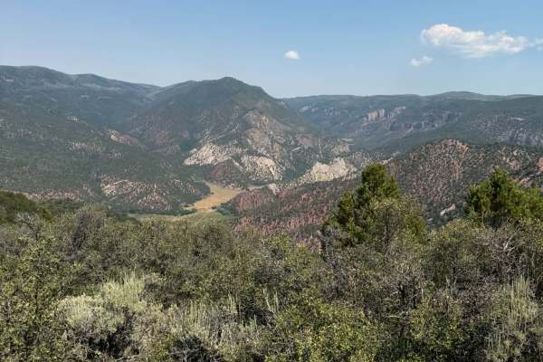
Rifle Loop
Rifle Loop is at the top of the White Mountain Plateau area. The south portion of the route is easy with few rocky areas and steeper on the east side. The north portion has a narrow off-camber section that is rocky but easy overall. You will have 360-degree views of the surrounding area, and it is w...
Learn more about Rifle Loop
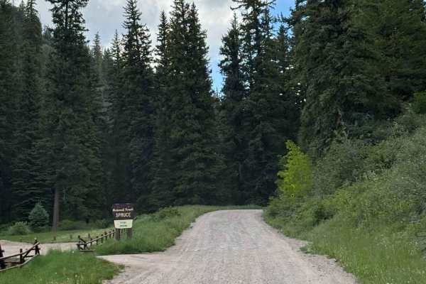
Coulter Mesa Road
This route climbs from Rifle Mountain Park into the broader White River Plateau, providing easy access to a vast network of roads and trails throughout the area. Numerous dispersed campsites can be found along the route, making it an excellent choice for those looking to establish a base camp while ...
Learn more about Coulter Mesa Road
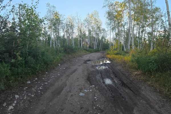
Homestead Road
This one-way-in, one-way-out trail consists of dirt, mud, and rocks, with 10–12-inch ruts and mud holes immediately from the start. The trail is one-vehicle-wide but has enough clearance to avoid significant pinstriping. The route is very scenic, traveling through dense forest and aspen trees. At th...
Learn more about Homestead Road
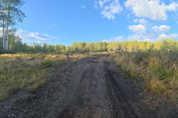
FS 845
This trail begins from the West Elk Trailhead parking area and consists of dirt and rocks up to 2–3 inches. Ruts start at 4–5 inches, with the trail becoming tighter around 0.28 miles and some potential for pinstriping from overgrowth and branches. At 0.1 miles, there is a very large campsite that c...
Learn more about FS 845
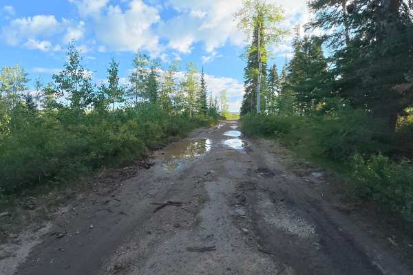
Ogden Place Road - FS 820
This scenic trail consists of dirt, gravel, ruts, and mud holes. At 0.1 miles, there is a private campsite for up to six vehicles with level ground, forest views, and wildflowers. Around 1.4 miles, the trail runs along a cliffside with beautiful views, so use caution. The trail ends at a gate leadin...
Learn more about Ogden Place Road - FS 820
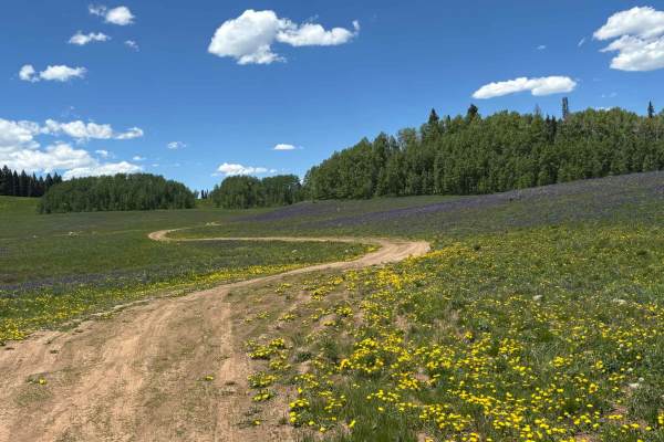
No Name Spur
This route winds through beautiful wildflower-filled meadows, passes a small pond rich with wildlife activity, and ends at a secluded campsite tucked away from the more heavily used areas. Animal tracks and other signs are common throughout the route, adding to the sense of remoteness and natural be...
Learn more about No Name Spur
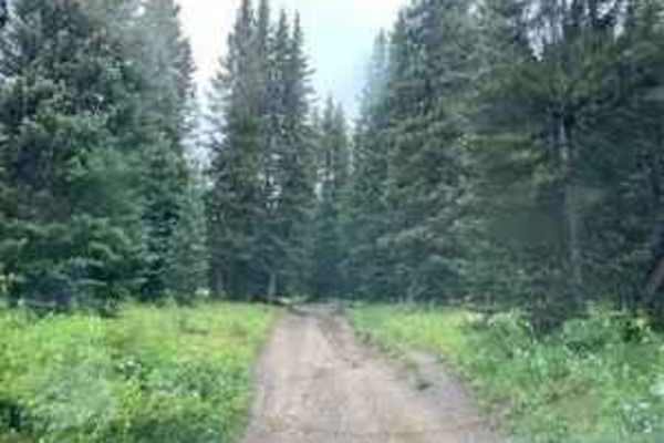
Burnt Mountain Road - FR651
The trail is rocky and can be muddy in places after wet weather. The trail travels through open meadows and some areas of forest with some nice views. Would not recommend this trail for someone who does not have a modified vehicle as there is a rock obstacle near the junction of the Adams Lake trail...
Learn more about Burnt Mountain Road - FR651
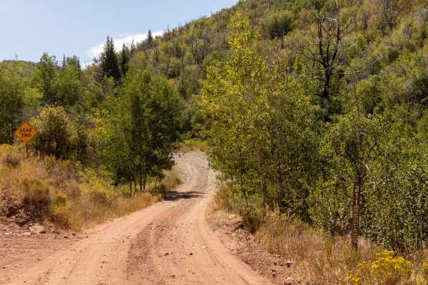
Hay Flat
Hay Flat is a rugged backcountry road that stays rocky throughout, with 5,643 steep dirt speedhump-like features—especially concentrated on the north 2/3 of the trail—breaking up the flow. Some of these humps are steep and could pose a problem for longer wheel-based vehicles. The trail includes stee...
Learn more about Hay Flat
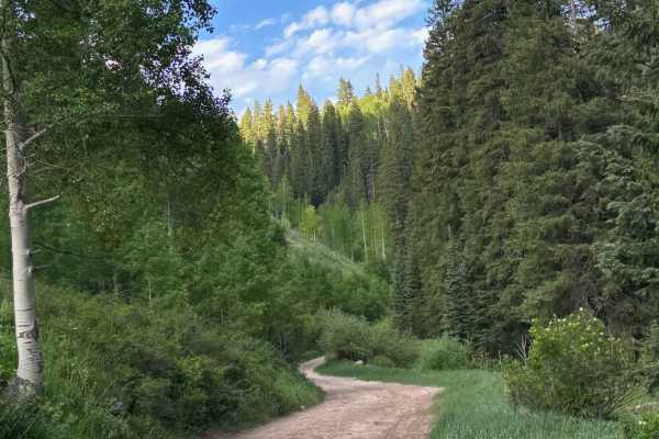
Little Box Road
This route climbs from the western side of the White River Plateau through dense forests of aspen and pine, offering a scenic drive beneath a beautiful mountain canopy. The trail is fairly rocky in places, requiring moderate clearance and careful driving, but there are no major technical obstacles. ...
Learn more about Little Box Road
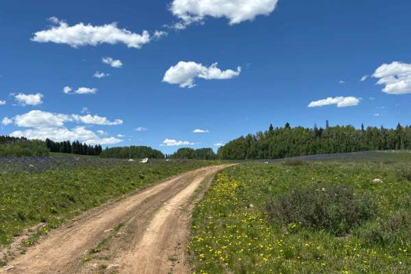
Buttermilk Road
This route branches off the main Clinetop Road and leads to a secluded campsite tucked among the trees, offering a quieter alternative to the area's more popular camping spots. Along the way, the trail passes through beautiful meadows filled with seasonal wildflowers, adding to the scenic appeal of ...
Learn more about Buttermilk Road
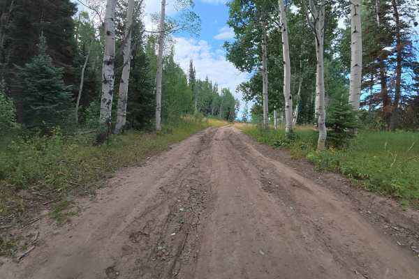
Joe Mule Park - FS 245
This out-and-back trail consists of dirt and fine gravel, with 8–12-inch ruts and sections up to 10 degrees off-camber. It crosses an open valley surrounded by mountain ranges and aspens, offering a different scenic experience from nearby trails. At 0.5 miles, there is a level campsite for up to two...
Learn more about Joe Mule Park - FS 245
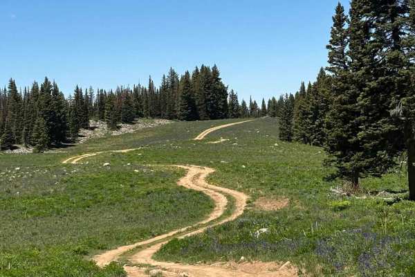
Cattle Guard Road
This route connects Clinetop Road with Burnt Mountain Road, providing an easier alternative for reaching the latter trail. Along the way, travelers are treated to beautiful views of sweeping mountain meadows as the road weaves in and out of the treeline. While there are no significant obstacles or t...
Learn more about Cattle Guard Road
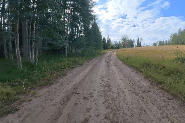
Mansfield Road - FS 830
This trail is seasonally gated from October through June for wildlife. It consists of dirt with 6–8 inch ruts and mud holes, increasing to 12–14 inches around 0.8 miles. The trail is single-width with enough room to carefully pass in some areas. There is significant overgrowth, but currently enough ...
Learn more about Mansfield Road - FS 830
ATV trails near Silt, Colorado
Explore ATV-friendly trails near you. These trails are accessible for vehicles up to 50 inches wide, perfect for ATVs and smaller off-road machines.
West Elk Ridge South
A large parking area at the trailhead can accommodate up to 30 vehicles or trailers. The trail begins with 8–10-inch ruts and is heavily washed out just feet from the entrance.
At 0.1 miles, there is a campsite for up to three vehicles with level ground, a fire ring, and valley views. Additional cam...
Learn more about West Elk Ridge South
Rifle West
Rifle West is a much more difficult route than the others connected to it. It has tight turns, is very rocky, and has a few dry creek beds to cross. A few steep, rocky climbs near the top have loose rocks and pass through narrow sections of trees. 4WD and low range are needed. The route was complet...
Learn more about Rifle West
West Elk Ridge North
This is the more challenging second half of W. Elk Ridge Rd., leading to a small campsite at the end. The trail is narrow, heavily overgrown, and mostly dirt that can become extremely difficult when wet.
Ruts begin at 5–6 inches and increase to 14 inches around 1 mile in, with washouts creating off-...
Learn more about West Elk Ridge North
Rifle East
This route takes you into the White River Plateau area near Rifle Gap State Park. It is a steep, rocky climb with boulders and ledges. Most of the route is narrow but has spots that widen out. This is on BLM land and has several camping spots along the way. At the top, there is a great view of Rifle...
Learn more about Rifle East
UTV/side-by-side trails near Silt, Colorado
Find UTV and side-by-side trails near you. These trails accommodate vehicles up to 60 inches wide, ideal for UTVs, side-by-sides, and wider off-road rigs.
West Elk Ridge South
A large parking area at the trailhead can accommodate up to 30 vehicles or trailers. The trail begins with 8–10-inch ruts and is heavily washed out just feet from the entrance.
At 0.1 miles, there is a campsite for up to three vehicles with level ground, a fire ring, and valley views. Additional cam...
Learn more about West Elk Ridge South
Rifle West
Rifle West is a much more difficult route than the others connected to it. It has tight turns, is very rocky, and has a few dry creek beds to cross. A few steep, rocky climbs near the top have loose rocks and pass through narrow sections of trees. 4WD and low range are needed. The route was complet...
Learn more about Rifle West
West Elk Ridge North
This is the more challenging second half of W. Elk Ridge Rd., leading to a small campsite at the end. The trail is narrow, heavily overgrown, and mostly dirt that can become extremely difficult when wet.
Ruts begin at 5–6 inches and increase to 14 inches around 1 mile in, with washouts creating off-...
Learn more about West Elk Ridge North
Rifle East
This route takes you into the White River Plateau area near Rifle Gap State Park. It is a steep, rocky climb with boulders and ledges. Most of the route is narrow but has spots that widen out. This is on BLM land and has several camping spots along the way. At the top, there is a great view of Rifle...
Learn more about Rifle East
The onX Offroad Difference
onX Offroad combines trail photos, descriptions, difficulty ratings, width restrictions, seasonality, and more in a user-friendly interface. Available on all devices, with offline access and full compatibility with CarPlay and Android Auto. Discover what you're missing today!
Open Trail Map