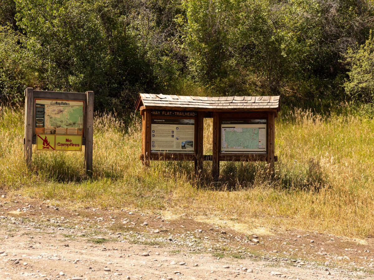
Trail Overview
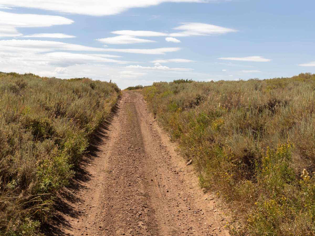
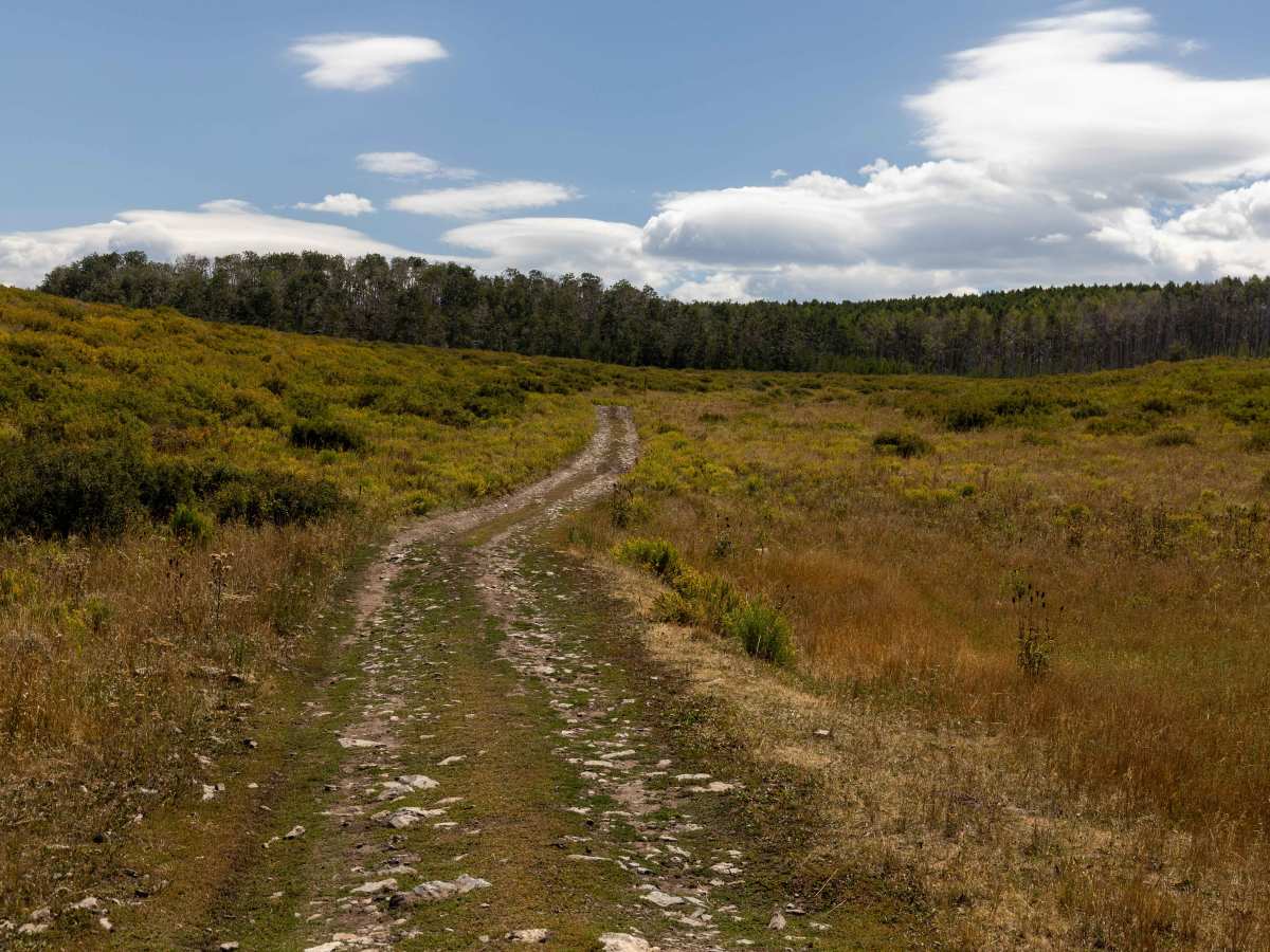
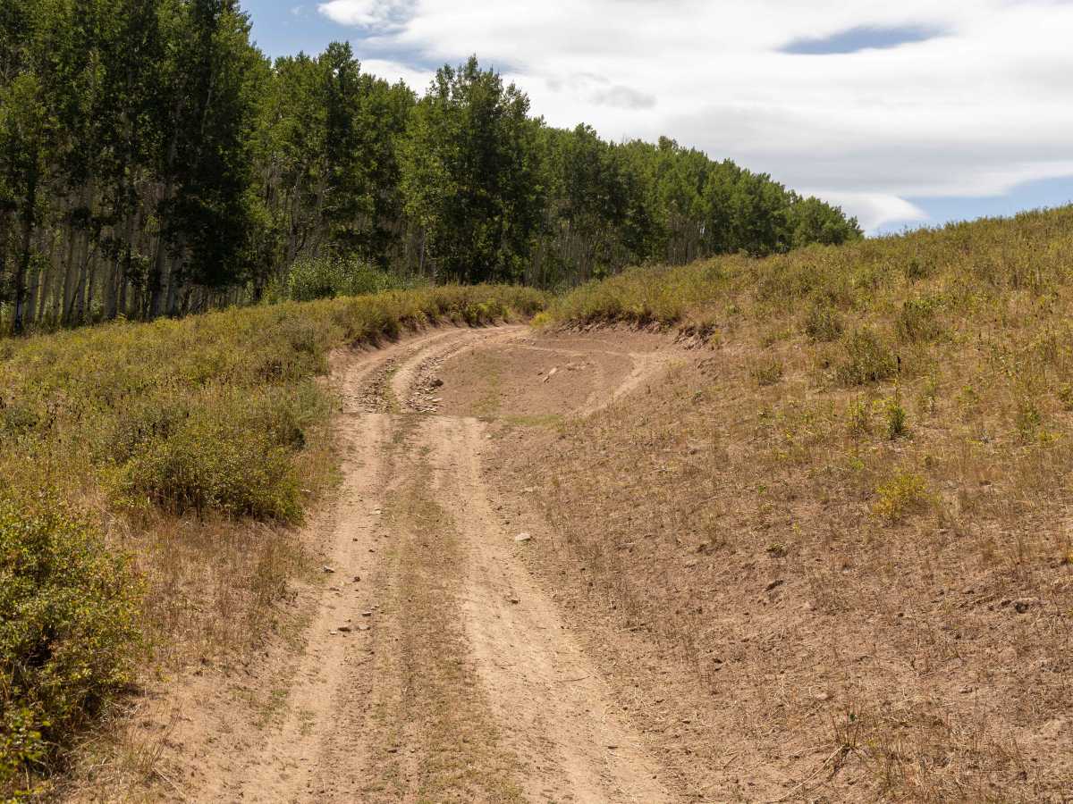
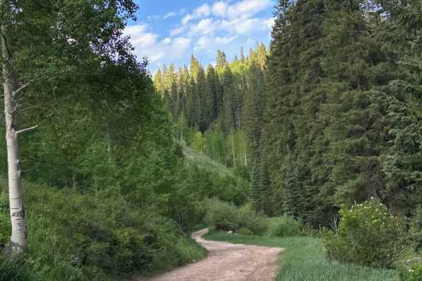
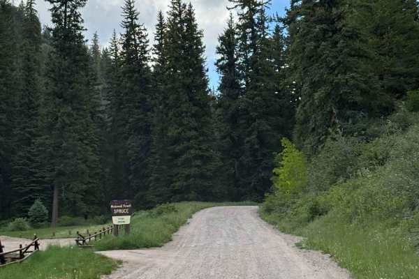
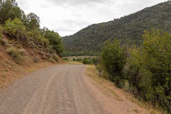
Hay Flat is a rugged backcountry road that stays rocky throughout, with 5,643 steep dirt speedhump-like features—especially concentrated on the north 2/3 of the trail—breaking up the flow. Some of these humps are steep and could pose a problem for longer wheel-based vehicles. The trail includes steep hills on both ends and remains generally steep in between, requiring steady throttle control and careful line choice. Drivers will encounter loose rock climbs, spots of heavy erosion, tree roots, potholes, and mud ruts, all mixed with sections of talc-like dirt that can get slick when wet, but when dry are powdery and dusty. Narrow stretches may cause paint damage from brush, and multiple water crossings and spots of big-hole erosion add to the technical challenges. Cattle are often present in the area, making it important to drive slow and stay alert.
Difficulty
This is a slow, rough, unmaintained trail with varying terrain. While most of it seems easy, the spots with obstacles require slow and decisive movement and tire placement. Caution is urged. There is no cell service along this route, so offline maps are highly recommended.
History
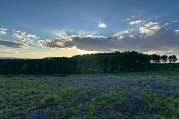
Hay Flat crosses open range country in northwest Colorado, an area long used for ranching and grazing. The route has its roots in old access paths created for moving cattle and connecting ranches across the rugged terrain. Over time, the road was adopted into the Forest Service and BLM travel network, though its rough conditions and minimal maintenance keep it true to its historic use as a working ranch road. Today, Hay Flat offers a look at Colorado’s ranching heritage while testing both driver skill and vehicle durability.